Brongwyn

Settlement in Cardiganshire

Wales

Brongwyn

Banc-lâs, Cwmceri
Banc-lâs, Cwmceri Credit: Dylan Moore

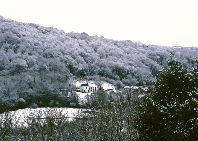
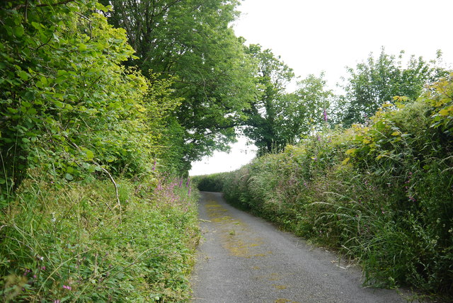
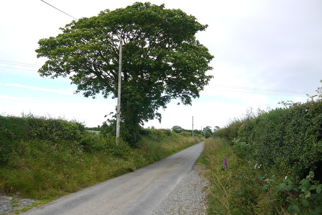
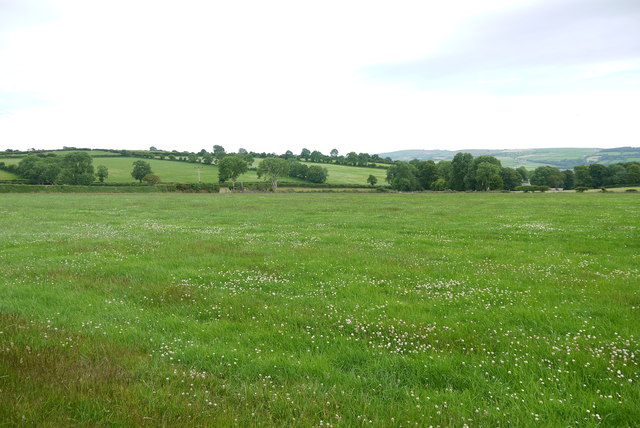
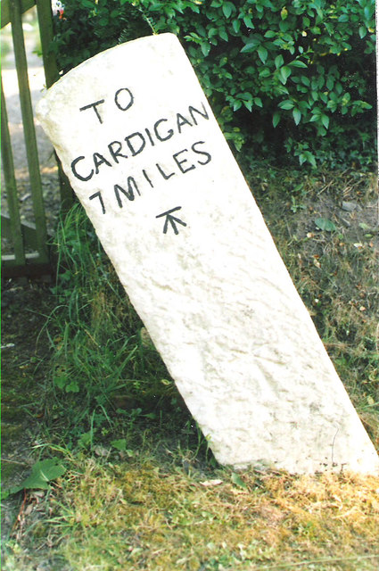
Brongwyn is a small village located in the county of Cardiganshire, Wales. Situated approximately 5 miles north of the town of Cardigan, it is nestled in the picturesque countryside of West Wales. The village is surrounded by rolling hills, lush green fields, and beautiful woodlands, making it an ideal location for those seeking a tranquil retreat.

Despite its small size, Brongwyn has a rich history dating back several centuries. It is home to a number of historic buildings, including a charming 16th-century church, which stands as a testament to the village's past. The church is a popular attraction for both locals and visitors, offering a glimpse into the area's architectural heritage.

The village itself has a close-knit community, with a population of around 200 residents. It benefits from a strong sense of community spirit, evident in the various events and activities organized throughout the year. These include local fairs, community festivals, and sports events that bring residents together.

Brongwyn also benefits from its proximity to the stunning West Wales coastline. The village is just a short drive away from some of the country's most beautiful beaches, offering residents and visitors the opportunity to enjoy the sun, sand, and sea.

In terms of amenities, Brongwyn boasts a local pub, a small convenience store, and a primary school, catering to the needs of its residents. For additional services and facilities, the nearby town of Cardigan offers a wider range of options, including shopping centers, healthcare facilities, and leisure activities.

Overall, Brongwyn is a charming village that seamlessly combines natural beauty, historical significance, and a strong sense of community, making it an idyllic place to live or visit in Cardiganshire.

If you have any feedback on the listing, please let us know in the comments section below.
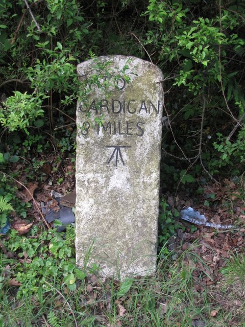
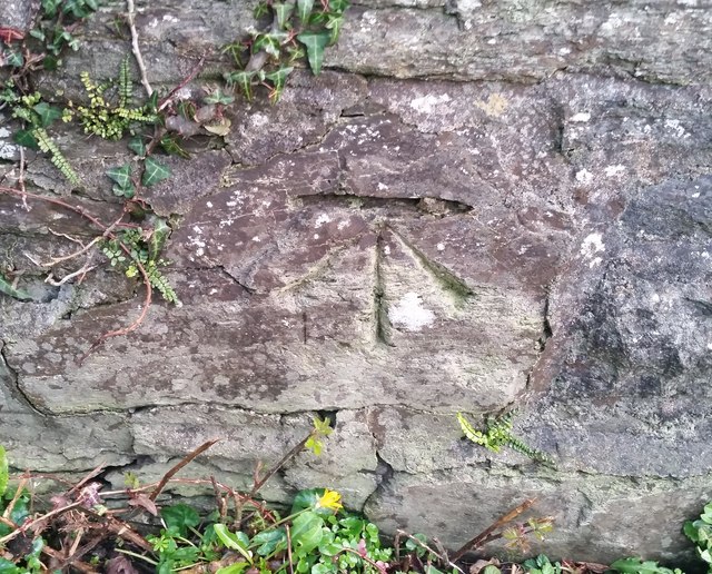
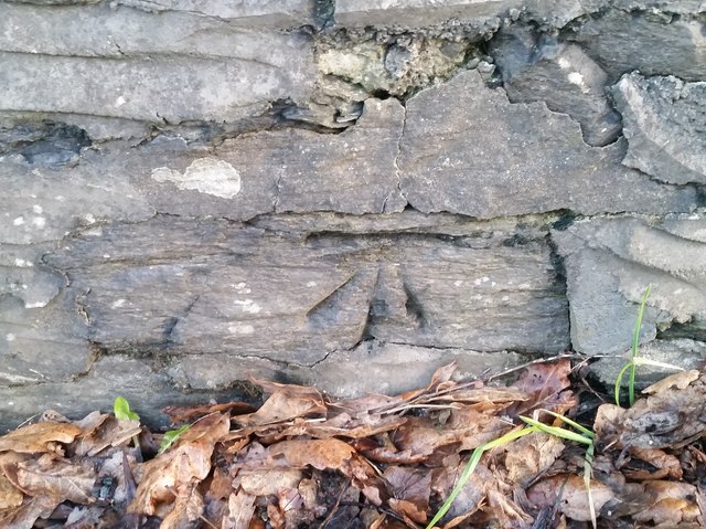
Brongwyn Images

Images are sourced within 2km of 52.06457/-4.499945 or Grid Reference SN2843. Thanks to Geograph Open Source API. All images are credited.

Banc-lâs, Cwmceri
Banc-lâs, Cwmceri
The road up to Brongwyn This steep narrow lane almost overgrown with vegetation in places leads from the B4570 to the B4333.
The road up to Brongwyn
This steep narrow lane almost overgrown with vegetation in places leads from the B4570 to the B4333.
Country Lane near Panteinon This solitary oak tree is on the minor road between Brongwyn and Groesffordd about a mile north of Cwm Cou.
Country Lane near Panteinon
This solitary oak tree is on the minor road between Brongwyn and Groesffordd about a mile north of Cwm Cou.
Field at Groesffordd This lush pasture meadow is just off the minor road between Brongwyn and Groessffordd. The view is south towards Cilfallen.
Field at Groesffordd
This lush pasture meadow is just off the minor road between Brongwyn and Groessffordd. The view is south towards Cilfallen.
Old Milestone by the B4570, south east of Capel Tygwydd Cardigan tombstone by the B4570, in parish of Beulah (Ceredigion District), by "Milestone", South East of Capel Tygwydd, in front of domestic hedge.

Inscription reads:-
TO
CARDIGAN
7 MILES
Carved bench mark below inscription.

Grade II listed by Cadw. Reference Number: 16822
<span class="nowrap"><a title="https://cadwpublic-api.azurewebsites.net/reports/listedbuilding/FullReport?lang=&id=16822" rel="nofollow ugc noopener" href="https://cadwpublic-api.azurewebsites.net/reports/listedbuilding/FullReport?lang=&id=16822">Link</a><img style="margin-left:2px;" alt="External link" title="External link - shift click to open in new window" src="https://s1.geograph.org.uk/img/external.png" width="10" height="10"/></span>

Surveyed

Milestone Society National ID: CRD_CALA07.
Old Milestone by the B4570, south east of Capel Tygwydd
Cardigan tombstone by the B4570, in parish of Beulah (Ceredigion District), by "Milestone", South East of Capel Tygwydd, in front of domestic hedge. Inscription reads:- TO CARDIGAN 7 MILES Carved bench mark below inscription. Grade II listed by Cadw. Reference Number: 16822 LinkExternal link Surveyed Milestone Society National ID: CRD_CALA07.
Old Milestone by the B4570, Troed-y-rhiw-Siôn Cardigan tombstone by the B4570, in parish of Beulah (Ceredigion District), Troed-y-rhiw-siôn, Northwest of Cwm Cou, on verge, South side of road.

Inscription reads:-
TO
CARDIGAN
8
MILES
Carved benchmark on middle face.

Grade II listed by Cadw.
Reference Number: 17950 <span class="nowrap"><a title="https://cadwpublic-api.azurewebsites.net/reports/listedbuilding/FullReport?lang=&id=17950" rel="nofollow ugc noopener" href="https://cadwpublic-api.azurewebsites.net/reports/listedbuilding/FullReport?lang=&id=17950">Link</a><img style="margin-left:2px;" alt="External link" title="External link - shift click to open in new window" src="https://s1.geograph.org.uk/img/external.png" width="10" height="10"/></span>

Surveyed

Milestone Society National ID: CRD_CALA08
Old Milestone by the B4570, Troed-y-rhiw-Siôn
Cardigan tombstone by the B4570, in parish of Beulah (Ceredigion District), Troed-y-rhiw-siôn, Northwest of Cwm Cou, on verge, South side of road. Inscription reads:- TO CARDIGAN 8 MILES Carved benchmark on middle face. Grade II listed by Cadw. Reference Number: 17950 LinkExternal link Surveyed Milestone Society National ID: CRD_CALA08
Ordnance Survey Cut Mark This OS cut mark can be found on the wall at Blaen-y-ffynnon. It marks a point 155.351m above mean sea level.
Ordnance Survey Cut Mark
This OS cut mark can be found on the wall at Blaen-y-ffynnon. It marks a point 155.351m above mean sea level.
Ordnance Survey Rivet This OS rivet can be found on the concrete base in front of the house which was once a Smithy. It marks a point 155.846m above mean sea level.
Ordnance Survey Rivet
This OS rivet can be found on the concrete base in front of the house which was once a Smithy. It marks a point 155.846m above mean sea level.
Ordnance Survey Cut Mark This OS cut mark can be found on the north parapet of the bridge. It marks a point 22.085m above mean sea level.
Ordnance Survey Cut Mark
This OS cut mark can be found on the north parapet of the bridge. It marks a point 22.085m above mean sea level.
Ordnance Survey Cut Mark This OS cut mark can be found on the NE parapet of the bridge. It marks a point 33.990m above mean sea level.
Ordnance Survey Cut Mark
This OS cut mark can be found on the NE parapet of the bridge. It marks a point 33.990m above mean sea level.
Ordnance Survey Cut Mark This OS cut mark can be found on the gatepost west side of the old road. It marks a point 77.722m above mean sea level.
Ordnance Survey Cut Mark
This OS cut mark can be found on the gatepost west side of the old road. It marks a point 77.722m above mean sea level.
Ordnance Survey Cut Mark This OS cut mark can be found on the stone at the road junction. It marks a point 134.473m above mean sea level.
Ordnance Survey Cut Mark
This OS cut mark can be found on the stone at the road junction. It marks a point 134.473m above mean sea level.
Ordnance Survey Cut Mark This OS cut mark can be found on the wall at the gate leading to St Mary's Church. It marks a point 89.555m above mean sea level.
Ordnance Survey Cut Mark
This OS cut mark can be found on the wall at the gate leading to St Mary's Church. It marks a point 89.555m above mean sea level.
Ordnance Survey 1GL Bolt This OS Bolt can be found on the SE angle of St Mary's Church. It marks a point 88.9135m above mean sea level.
Ordnance Survey 1GL Bolt
This OS Bolt can be found on the SE angle of St Mary's Church. It marks a point 88.9135m above mean sea level.
Ordnance Survey Cut Mark This OS cut mark can be found on the stone NE side of the road. It marks a point 127.373m above mean sea level.
Ordnance Survey Cut Mark
This OS cut mark can be found on the stone NE side of the road. It marks a point 127.373m above mean sea level.
Milestone - Cardigan 8 The OS cut mark on the stone marks a point 72.149m above mean sea level.
Milestone - Cardigan 8
The OS cut mark on the stone marks a point 72.149m above mean sea level.
Ordnance Survey Cut Mark This OS cut mark can be found on the building east side of the road. It marks a point 23.960m above mean sea level.
Ordnance Survey Cut Mark
This OS cut mark can be found on the building east side of the road. It marks a point 23.960m above mean sea level.
Ordnance Survey Cut Mark This OS cut mark can be found on the water tap at the road junction. It marks a point 118.909m above mean sea level.
Ordnance Survey Cut Mark
This OS cut mark can be found on the water tap at the road junction. It marks a point 118.909m above mean sea level.
Show me another place!

Brongwyn is located at Grid Ref: SN2843 (Lat: 52.06457, Lng: -4.499945)

Unitary Authority: Ceredigion

Police Authority: Dyfed Powys

Also known as: Bron-gwyn

What 3 Words

///digitally.modes.yarn. Near Newcastle Emlyn, Ceredigion

Nearby Locations

Brongwyn Bron-gwyn

Related Wikis

Brongwyn

Brongwyn is a hamlet in the community of Beulah, Ceredigion, Wales, which is 69.5 miles (111.9 km) from Cardiff and 190.7 miles (306.9 km) from London...

Rhipinllwyd

Rhipinllwyd (or Rhippinllwyd) is a hamlet in the community of Beulah, Ceredigion, Wales, which is 69.3 miles (111.5 km) from Cardiff and 190.7 miles...

Troed-y-rhiw-Sion

Troed-y-rhiw-Sion is a hamlet in the community of Beulah, Ceredigion, Wales, which is 69.3 miles (111.6 km) from Cardiff and 190.9 miles (307.2 km) from...

Capel Tygwydd

Capel Tygwydd is a hamlet in the community of Beulah, Ceredigion, Wales, which is 70.3 miles (113.1 km) from Cardiff and 191.7 miles (308.5 km) from London...

Nearby Amenities

Located within 500m of 52.06457,-4.499945
Brongwyn
Is In: Ceredigion, Wales, UK
Place: village
Source: npe
Wikidata: Q15987464
Lat/Long: 52.06311/-4.5000028
Direction: S
Generator Method: photovoltaic
Generator Output Electricity: yes
Generator Solar Modules: 14
Generator Source: solar
Generator Type: solar_photovoltaic_panel
Location: roof
Power: generator
Lat/Long: 52.0674538/-4.5002116
The data included in this document is from www.openstreetmap.org. The data is made available under ODbL.

Have you been to Brongwyn?

Leave your review of Brongwyn below (or comments, questions and feedback).