Henham
Civil Parish in Essex Uttlesford
England
Henham
Henham is a civil parish located in the county of Essex, England. It is situated approximately 4 miles north of Bishop's Stortford and about 35 miles northeast of London. The parish covers an area of approximately 15 square kilometers.
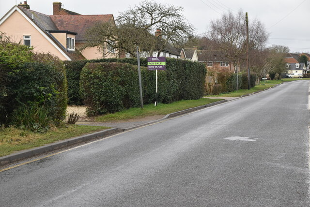
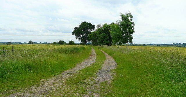
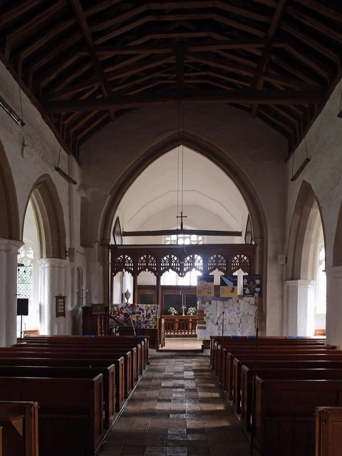
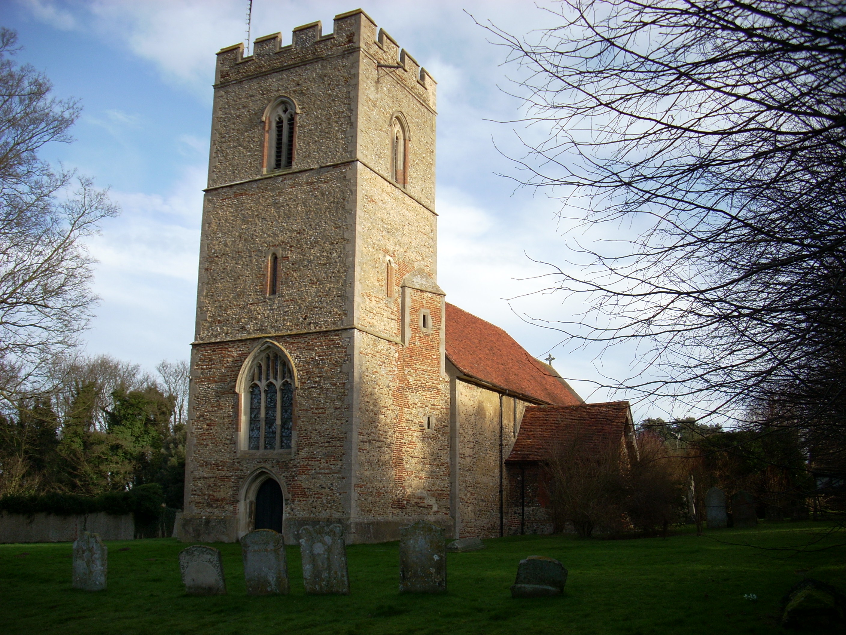
Henham is a rural village surrounded by picturesque countryside, characterized by open fields and rolling hills. The village itself is known for its charming and historic buildings, with many dating back to the medieval period. The centerpiece of the village is the St. Mary the Virgin Church, an impressive Grade I listed building that has stood for centuries.
The local community in Henham is close-knit and vibrant, with a population of around 1,500 residents. The village has a primary school, Henham and Ugley Primary School, which serves the educational needs of the local children.
Henham offers a range of amenities for its residents, including a village hall, a pub, and a local shop. The village also hosts regular events and activities, such as the Henham Steam Rally, which attracts visitors from near and far.
The surrounding countryside of Henham provides ample opportunities for outdoor activities, such as hiking, cycling, and horse riding. The nearby Hatfield Forest, a National Trust property, is a popular destination for nature lovers and offers beautiful woodland walks.
Overall, Henham is a picturesque and peaceful village, offering a tranquil rural lifestyle while remaining within easy reach of larger towns and cities.
If you have any feedback on the listing, please let us know in the comments section below.
Henham Images
Images are sourced within 2km of 51.932845/0.245572 or Grid Reference TL5428. Thanks to Geograph Open Source API. All images are credited.


Henham is located at Grid Ref: TL5428 (Lat: 51.932845, Lng: 0.245572)
Administrative County: Essex
District: Uttlesford
Police Authority: Essex
What 3 Words
///afraid.dashes.opposing. Near Elsenham, Essex
Related Wikis

Henham
Henham, or Henham-on-the-Hill is a village and civil parish in the Uttlesford district of Essex, England. The village is situated 2.5 miles (4 km) north...
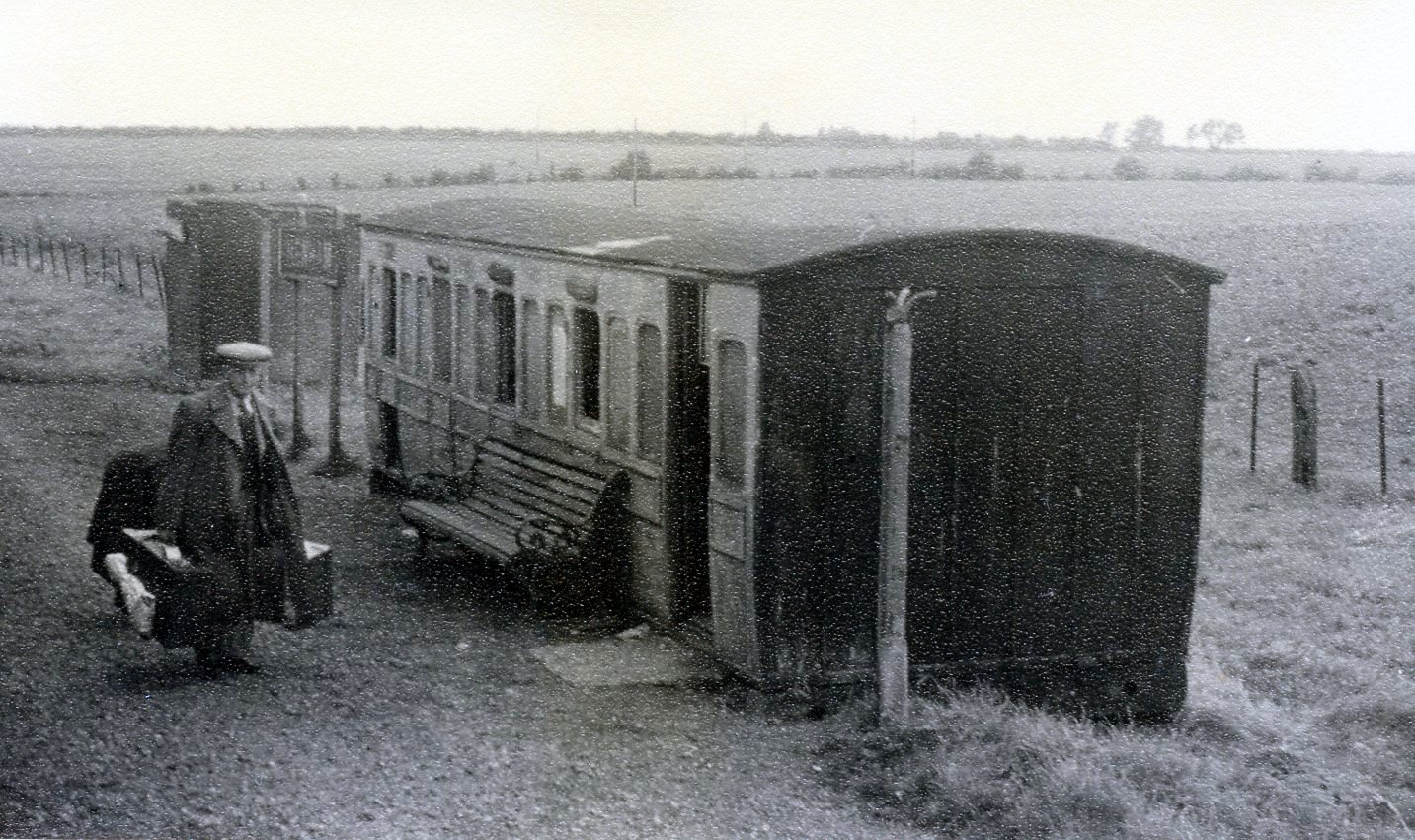
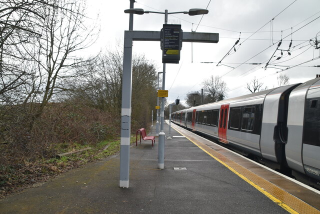
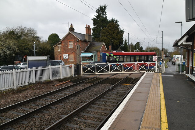
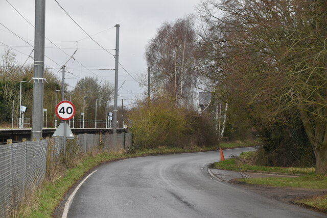
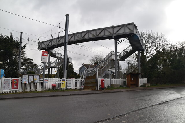
Henham Halt railway station
Henham Halt railway station was a station serving the village of Henham, Essex, England. It was located 1 mile 57 chains (2.76 km) from Elsenham station...

Mill Road Halt railway station
Mill Road Halt railway station was a station between Elsenham and Henham in Essex. It was located 70 chains (1.41 km) from Elsenham station. It closed...
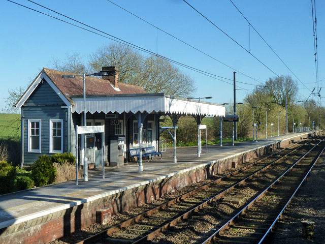
Elsenham railway station
Elsenham railway station is found on the West Anglia Main Line, serving the village of Elsenham in Essex, England. It is 35 miles 45 chains (57.2 km) down...
Elsenham
Elsenham is a village and civil parish in north-west Essex in eastern England. Its neighbouring settlements include Bishop's Stortford, Saffron Walden...

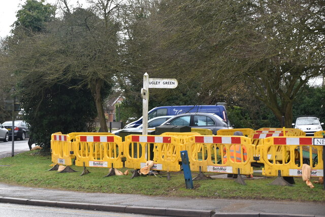
Ugley Green
Ugley Green is a small village in the district of Uttlesford in Essex, England. It is approximately 6 miles (10 km) north-east from Bishops Stortford,...

Ugley
Ugley is a small village and civil parish in the non-metropolitan district of Uttlesford in Essex, England. It is about 2 miles (3 km) north from Stansted...

Sibleys railway station
Sibleys railway station was a station in Sibleys Green, in the civil parish of Chickney, Essex. It was located 2 miles 78 chains (4.79 km) from Elsenham...
Nearby Amenities
Located within 500m of 51.932845,0.245572Have you been to Henham?
Leave your review of Henham below (or comments, questions and feedback).