Henham
Settlement in Essex Uttlesford
England
Henham
Henham is a small village located in the county of Essex, in the eastern part of England. Situated approximately 30 miles northeast of London, the village is nestled in a rural setting, surrounded by picturesque countryside landscapes. Henham falls within the district of Uttlesford and is nearby to other towns and villages such as Elsenham, Stansted Mountfitchet, and Thaxted.
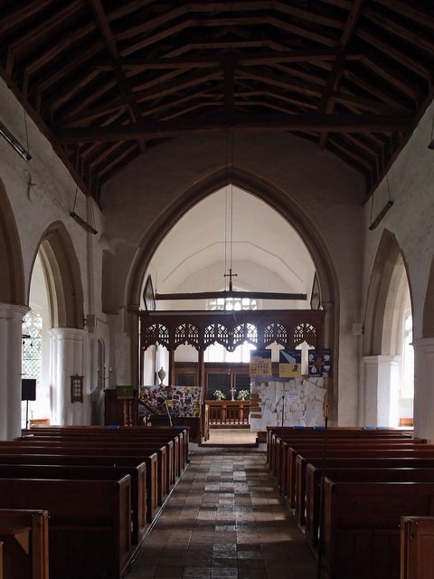
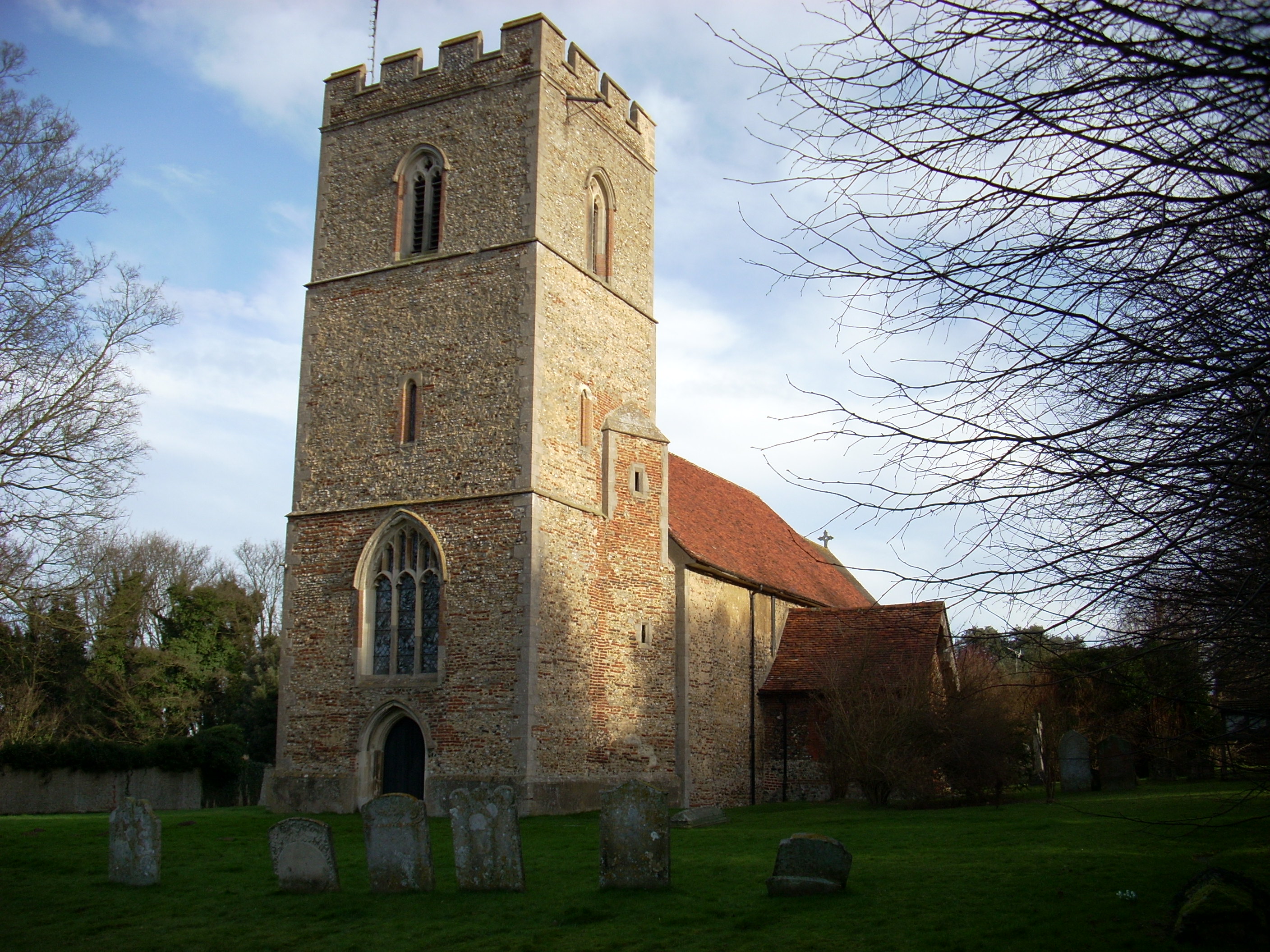
The village has a long and rich history, dating back to the medieval period. It is known for its charming architecture, with many historic buildings still standing, including the 12th-century St. Mary's Church, which is a prominent feature of the village. The village also boasts a number of traditional thatched cottages, adding to its quaint and idyllic character.
Despite its small size, Henham is a vibrant and close-knit community. It has a primary school, a village hall, and a local pub, providing essential amenities for its residents. The village also hosts several annual events and festivals, such as the Henham Steam Rally, which attracts visitors from near and far.
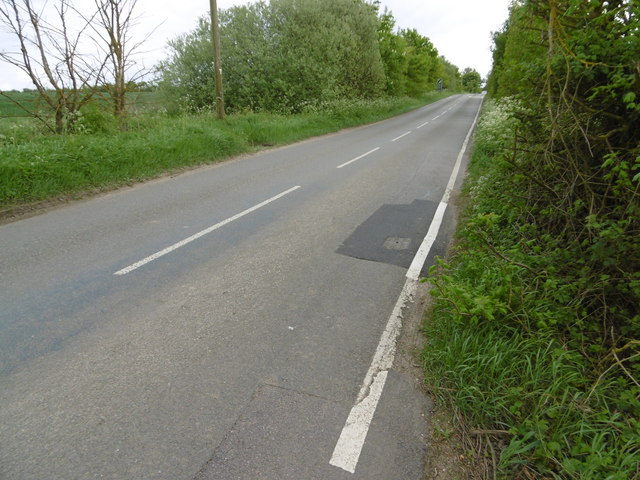
Henham benefits from its proximity to London and Stansted Airport, making it an attractive location for commuters and those who enjoy easy access to transport links. Additionally, the surrounding countryside offers opportunities for outdoor activities, including walking, cycling, and exploring the nearby Flitch Way, a former railway line turned nature trail.
Overall, Henham is a charming and historic village that offers a tranquil and picturesque environment for its residents, as well as easy access to larger towns and cities in the region.
If you have any feedback on the listing, please let us know in the comments section below.
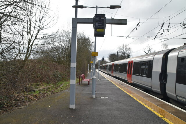
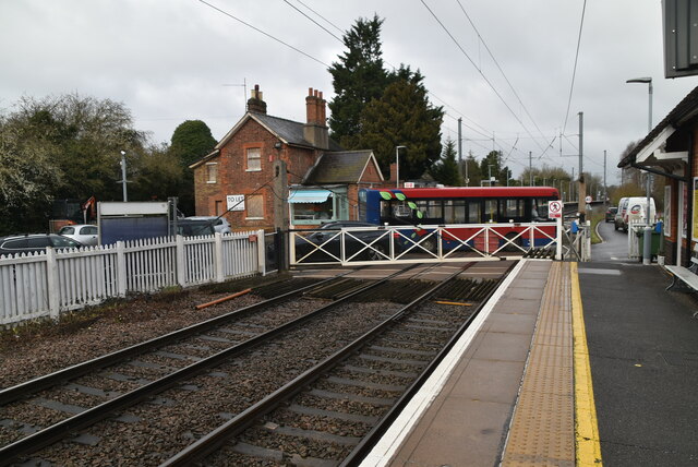
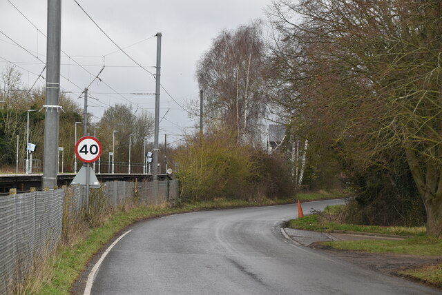
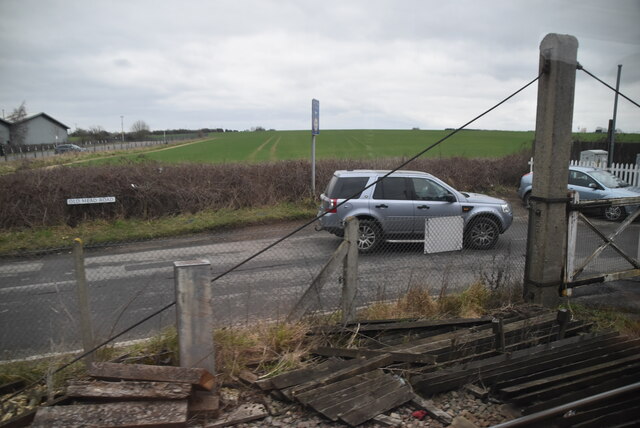
Henham Images
Images are sourced within 2km of 51.93341/0.248029 or Grid Reference TL5428. Thanks to Geograph Open Source API. All images are credited.


Henham is located at Grid Ref: TL5428 (Lat: 51.93341, Lng: 0.248029)
Administrative County: Essex
District: Uttlesford
Police Authority: Essex
What 3 Words
///bearable.flattens.scribble. Near Elsenham, Essex
Related Wikis

Henham
Henham, or Henham-on-the-Hill is a village and civil parish in the Uttlesford district of Essex, England. The village is situated 2.5 miles (4 km) north...
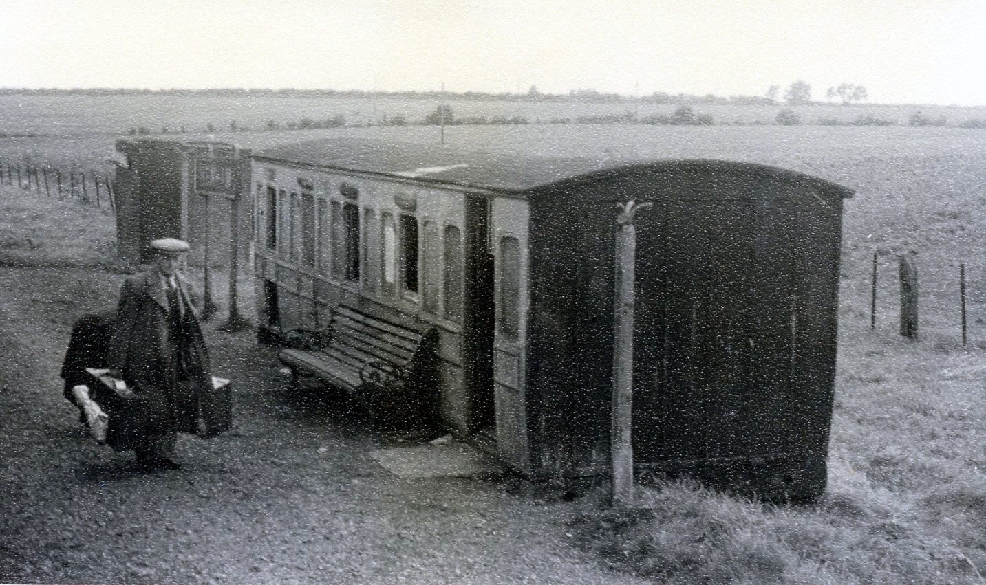
Henham Halt railway station
Henham Halt railway station was a station serving the village of Henham, Essex, England. It was located 1 mile 57 chains (2.76 km) from Elsenham station...

Mill Road Halt railway station
Mill Road Halt railway station was a station between Elsenham and Henham in Essex. It was located 70 chains (1.41 km) from Elsenham station. It closed...
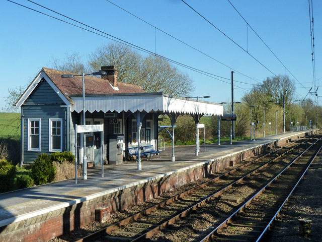
Elsenham railway station
Elsenham railway station is found on the West Anglia Main Line, serving the village of Elsenham in Essex, England. It is 35 miles 45 chains (57.2 km) down...
Elsenham
Elsenham is a village and civil parish in north-west Essex in eastern England. Its neighbouring settlements include Bishop's Stortford, Saffron Walden...

Sibleys railway station
Sibleys railway station was a station in Sibleys Green, in the civil parish of Chickney, Essex. It was located 2 miles 78 chains (4.79 km) from Elsenham...
Pledgdon Green
Pledgdon Green, also known as Pledgdon or Prison Green, is a hamlet in the parish of Henham, in the Uttlesford district of Essex, England. The hamlet is...

Chickney
Chickney is a village and civil parish near Broxted and southwest of Thaxted, in Uttlesford, Essex, England. The parish borders Broxted, Debden, Henham...
Nearby Amenities
Located within 500m of 51.93341,0.248029Have you been to Henham?
Leave your review of Henham below (or comments, questions and feedback).