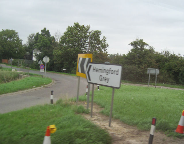
Hemingford Grey

Civil Parish in Huntingdonshire Huntingdonshire

England

Hemingford Grey

B1040 crossing the A14
B1040 crossing the A14 Credit: Dave Thompson

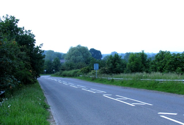
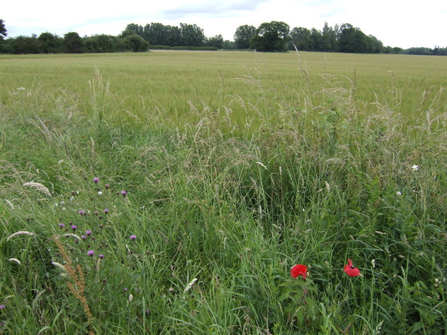
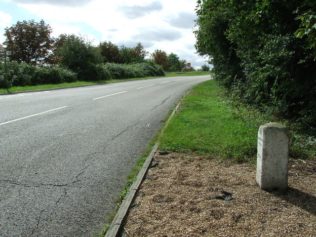
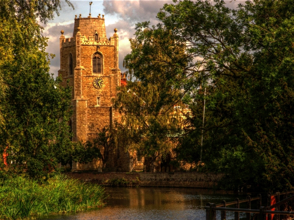
Hemingford Grey is a civil parish located in the district of Huntingdonshire, England. Situated on the banks of the River Great Ouse, it is a picturesque village known for its rich history and charming scenery. The parish covers an area of approximately 4.9 square kilometers and has a population of around 1,900 people.

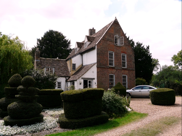
The village of Hemingford Grey is divided into two main parts, Hemingford Grey and Hemingford Abbots. Hemingford Grey is the larger of the two and is home to several historic buildings, including the famous Hemingford Grey Manor. Built in the 12th century, the manor is noted for its stunning architecture and beautiful gardens, making it a popular tourist attraction in the area.

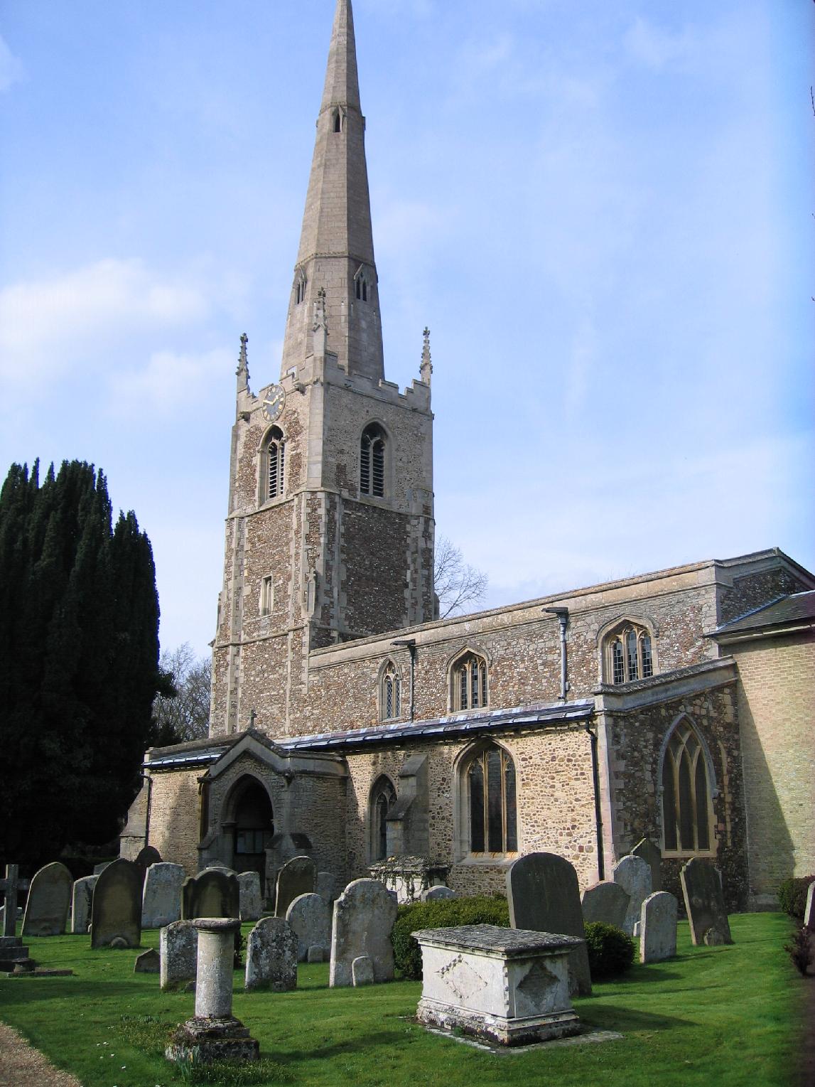
The village also boasts a number of other notable landmarks, such as the Church of St. James, a medieval church with a striking tower and stained glass windows. Additionally, there are several traditional thatched cottages and historic houses that add to the village's unique character.

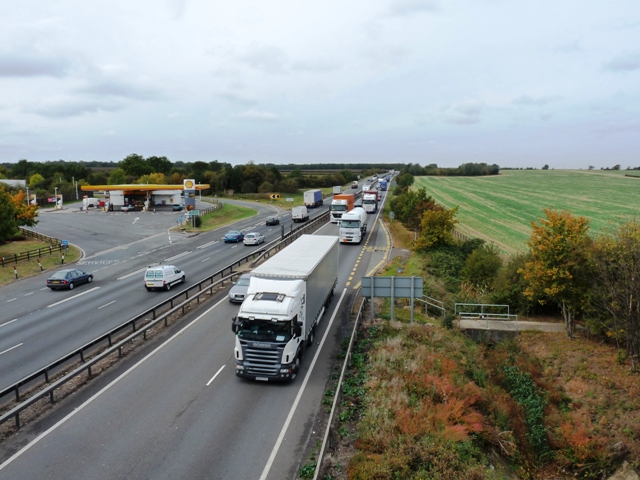
Hemingford Grey has a strong community spirit and offers a range of amenities and services for its residents. These include a primary school, village hall, post office, and several local shops and pubs. The village is also well-connected to neighboring towns such as Huntingdon and Cambridge, making it an ideal location for commuters.

Overall, Hemingford Grey is a charming and idyllic village with a rich heritage, making it a popular destination for visitors and a delightful place to live for its residents.

If you have any feedback on the listing, please let us know in the comments section below.

Hemingford Grey Images

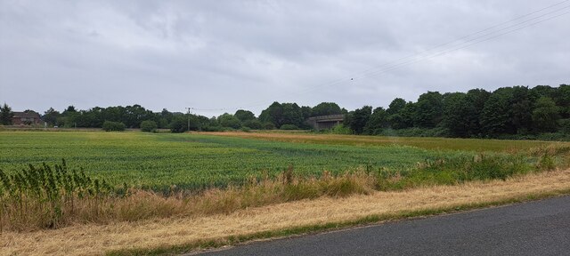
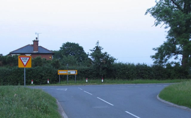
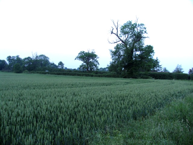
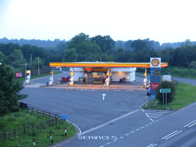
Images are sourced within 2km of 52.308501/-0.100667 or Grid Reference TL2969. Thanks to Geograph Open Source API. All images are credited.

B1040 crossing the A14
B1040 Potton Road This section was remade to put a bridge over the new A14.
B1040 Potton Road
This section was remade to put a bridge over the new A14.
New Lake by West Brook Dug to provide bulk aggregate for the new A14, see <a href="https://www.geograph.org.uk/photo/5970222">TL3067 : Aggregate extraction for A14 construction</a>
New Lake by West Brook
Dug to provide bulk aggregate for the new A14, see TL3067 : Aggregate extraction for A14 construction
View towards the A1307 south of Hemingford Abbots
Footpath This footpath leaves the B1040 and heads off into the field towards the left tracking along the edge of the drainage ditch visible in the foreground.
Footpath
This footpath leaves the B1040 and heads off into the field towards the left tracking along the edge of the drainage ditch visible in the foreground.
Junction with New Road
Field alongside New Road
Services on the A14 near to Hemingford Abbots
Rideaway from the A14 overbridge
Barley field Between Hemingford Grey and the A14. Galley Hill Farm is in amongst the trees in the distance.
Barley field
Between Hemingford Grey and the A14. Galley Hill Farm is in amongst the trees in the distance.
Inert waste management facility Woolpack farm Inert waste management facility
Inert waste management facility
Woolpack farm Inert waste management facility
Farm road by Topfield farm Farm road by Topfield farm north of Hilton
Farm road by Topfield farm
Farm road by Topfield farm north of Hilton
Old Milestone Old milestone near to Hemingford Abbots, Cambridgeshire. For overall view see <a title="https://www.geograph.org.uk/photo/1461091" href="https://www.geograph.org.uk/photo/1461091">Link</a>
Old Milestone
Old milestone near to Hemingford Abbots, Cambridgeshire. For overall view see Link
Old Milestone Old milestone near to Hemingford Abbots, Cambridgeshire. For close up view see <a title="https://www.geograph.org.uk/photo/1461085" href="https://www.geograph.org.uk/photo/1461085">Link</a>
Old Milestone
Old milestone near to Hemingford Abbots, Cambridgeshire. For close up view see Link
The busy A14 trunk road Consultation is currently (late 2009) taking place to widen the A14 between Ellington and Fen Ditton.
The busy A14 trunk road
Consultation is currently (late 2009) taking place to widen the A14 between Ellington and Fen Ditton.
Turn off for Hemingford Grey from A14
A14 Hemingford Abbots services
A14 turn near Gore Tree Farm
Show me another place!

Hemingford Grey is located at Grid Ref: TL2969 (Lat: 52.308501, Lng: -0.100667)

Administrative County: Cambridgeshire

District: Huntingdonshire

Police Authority: Cambridgeshire

What 3 Words

///pointer.scored.risen. Near Hemingford Grey, Cambridgeshire

Nearby Locations

Hemingford Grey

Related Wikis

Hemingford Grey Meadow

Hemingford Grey Meadow is a 0.7-hectare (1.7-acre) biological Site of Special Scientific Interest south of Hemingford Grey in Cambridgeshire. It is managed...
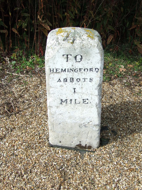
Hemingford Abbots

Hemingford Abbots is a village and civil parish in Cambridgeshire, England. Hemingford Abbots lies approximately 3 miles (5 km) east of Huntingdon, and...

Hemingford Grey

Hemingford Grey is a village and civil parish in Cambridgeshire, England. Hemingford Grey lies approximately 4 miles (6 km) east of Huntingdon. Hemingford...

The Manor (Cambridgeshire)

The Manor is a house in the village of Hemingford Grey, Cambridgeshire. It was built in the 1130s and is one of the oldest continuously inhabited houses...

Nearby Amenities

Located within 500m of 52.308501,-0.100667
Phone
Emergency: phone
Source: survey
Lat/Long: 52.3049302/-0.0999356
Parking
Access: yes
Fee: no
Note: Layby
Parking: surface
Source: survey
Lat/Long: 52.3050625/-0.100703
Power: pole
Lat/Long: 52.3064943/-0.1009973
Power: pole
Lat/Long: 52.3061024/-0.1061941
Power: pole
Lat/Long: 52.3070167/-0.1060519
Power: pole
Lat/Long: 52.3080835/-0.1067414
Power: pole
Lat/Long: 52.3064016/-0.1061512
Power: pole
Lat/Long: 52.3083837/-0.1079911
Power: pole
Lat/Long: 52.3077784/-0.1054913
Power: pole
Lat/Long: 52.307466/-0.1026938
Power: pole
Lat/Long: 52.3058597/-0.0993894
Power: pole
Lat/Long: 52.307644/-0.1043138
Liquid Skillz
Leisure: sports_centre
Sport: paddleboarding/wakeboard/swimming
Website: https://en-gb.facebook.com/lakeashmoreliquidskillz/
Lat/Long: 52.3103317/-0.1031675
Power: pole
Lat/Long: 52.3074348/-0.1027045
Power: pole
Lat/Long: 52.307466/-0.1026938
The data included in this document is from www.openstreetmap.org. The data is made available under ODbL.

Have you been to Hemingford Grey?

Leave your review of Hemingford Grey below (or comments, questions and feedback).