Hemingford Abbots
Civil Parish in Huntingdonshire Huntingdonshire
England
Hemingford Abbots

Hemingford Abbots is a picturesque civil parish located in the historic county of Huntingdonshire, in the eastern region of England. Situated on the banks of the River Great Ouse, this charming village offers a tranquil and idyllic setting for residents and visitors alike.
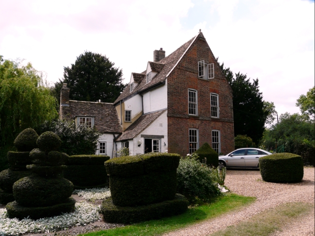
With a population of around 1,000 people, Hemingford Abbots is known for its close-knit community and strong sense of community spirit. The parish consists mainly of residential properties, with a mix of traditional thatched cottages and more modern houses. The village has managed to retain a sense of its historical heritage, with many of the buildings dating back several centuries.
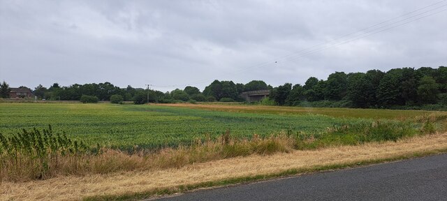
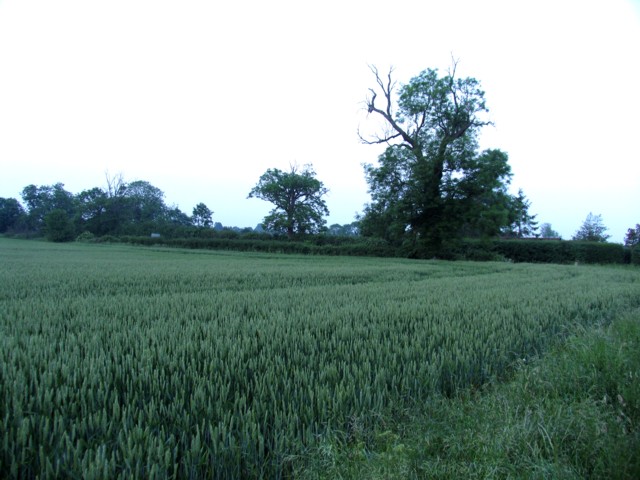
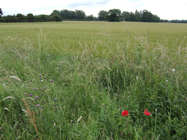
The village is renowned for its natural beauty, with the River Great Ouse providing a stunning backdrop. Walking along the riverbank offers panoramic views of the surrounding countryside and the opportunity to spot a variety of wildlife. The nearby Hemingford Meadow is a designated nature reserve, providing a haven for birds and other wildlife.
Hemingford Abbots is also home to St. Margaret of Antioch Church, a Grade I listed building that dates back to the 12th century. The church is a significant historical and architectural landmark, attracting visitors from far and wide.
The village boasts a vibrant community life, with various social and recreational activities taking place throughout the year. The Hemingford Abbots Golf Club offers a challenging 18-hole course, while the local pub, The Axe and Compass, serves as a popular gathering spot. The village also hosts an annual summer fete and a Christmas market, bringing together residents and visitors for festive celebrations.
Overall, Hemingford Abbots offers a peaceful and picturesque retreat, combining natural beauty, historical charm, and a strong sense of community.
If you have any feedback on the listing, please let us know in the comments section below.
Hemingford Abbots Images
Images are sourced within 2km of 52.304762/-0.129489 or Grid Reference TL2769. Thanks to Geograph Open Source API. All images are credited.


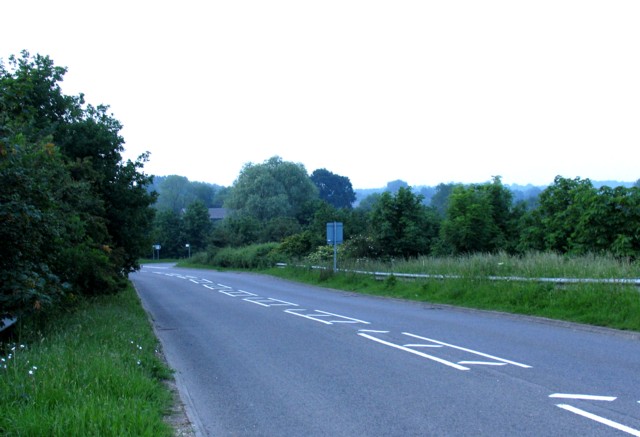


Hemingford Abbots is located at Grid Ref: TL2769 (Lat: 52.304762, Lng: -0.129489)
Administrative County: Cambridgeshire
District: Huntingdonshire
Police Authority: Cambridgeshire
What 3 Words
///tigers.bravo.stag. Near Hemingford Grey, Cambridgeshire
Nearby Locations
Related Wikis

Hemingford Grey Meadow
Hemingford Grey Meadow is a 0.7-hectare (1.7-acre) biological Site of Special Scientific Interest south of Hemingford Grey in Cambridgeshire. It is managed...
The Manor (Cambridgeshire)
The Manor is a house in the village of Hemingford Grey, Cambridgeshire. It was built in the 1130s and is one of the oldest continuously inhabited houses...

Godmanchester Rovers F.C.
Godmanchester Rovers Football Club is a football club based in Godmanchester, Cambridgeshire, England. They are currently members of the United Counties...
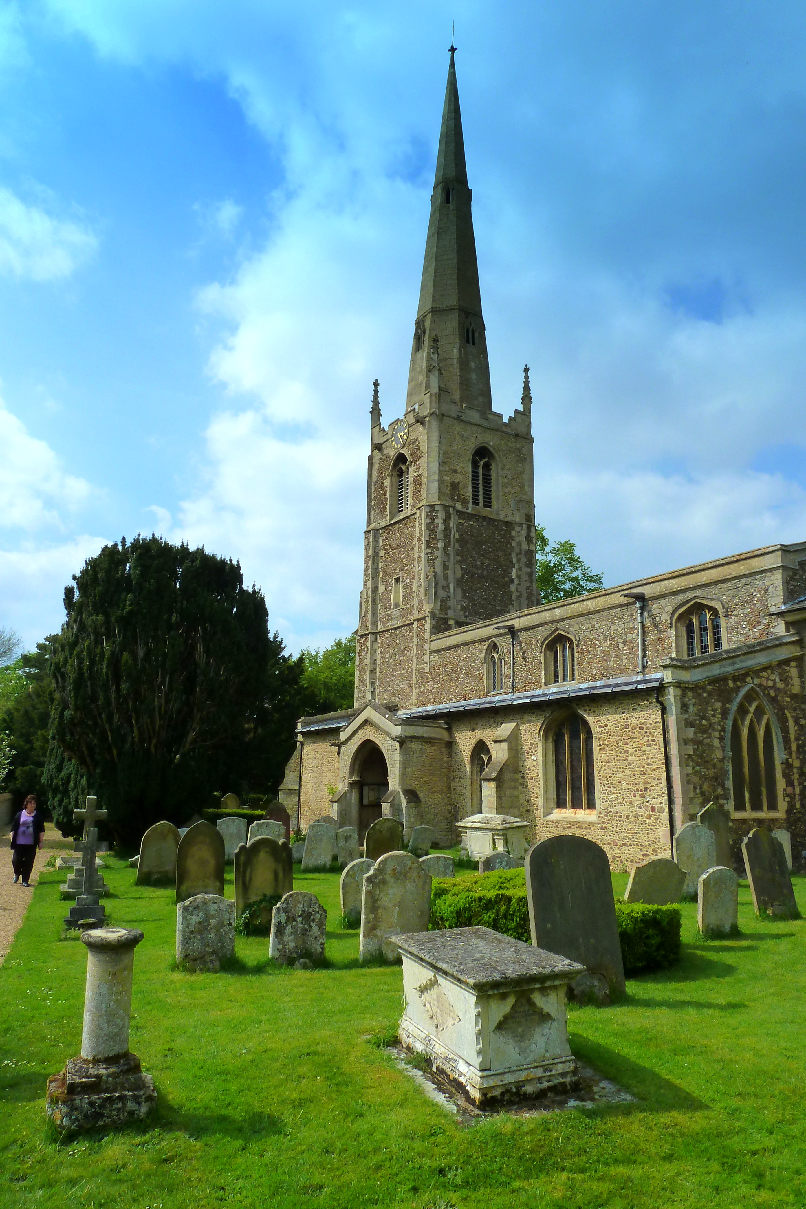
St Margaret's Church, Hemingford Abbots
St Margaret's Church, in Hemingford Abbots is a Church of England church, dedicated to Saint Margaret of Antioch. A church has stood on the site since...
Nearby Amenities
Located within 500m of 52.304762,-0.129489Have you been to Hemingford Abbots?
Leave your review of Hemingford Abbots below (or comments, questions and feedback).