Hemblington
Civil Parish in Norfolk Broadland
England
Hemblington
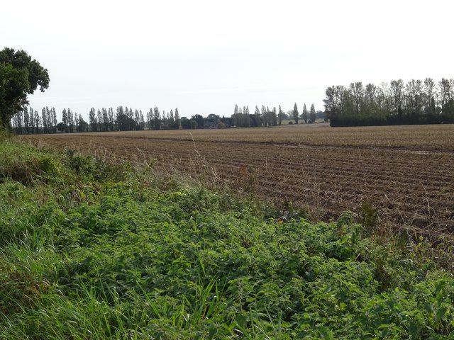
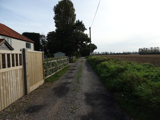
Hemblington is a civil parish located in the county of Norfolk, England. Situated approximately 10 miles east of Norwich, it covers an area of about 8.6 square kilometers. The parish is surrounded by beautiful countryside, characterized by agricultural fields, meadows, and woodland.
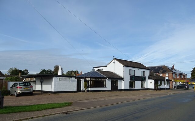
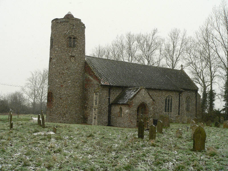
The village of Hemblington itself is a small and picturesque settlement, with a population of around 400 residents. It is known for its charming thatched cottages, historic buildings, and a notable Grade I listed church. St Andrew's Church, dating back to the 12th century, is a prominent landmark in the parish and attracts visitors due to its architectural significance and stunning interior.
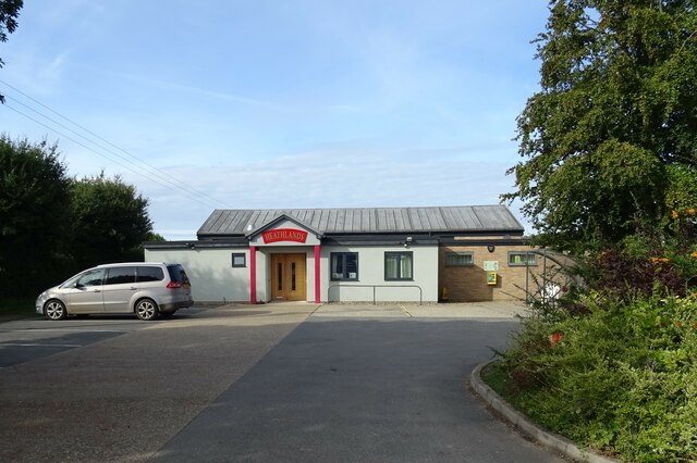
The local community is tight-knit and actively involved in various social and recreational activities. Hemblington has a village hall, which serves as a hub for community events, meetings, and gatherings. The parish also boasts a primary school, providing education for children in the area.
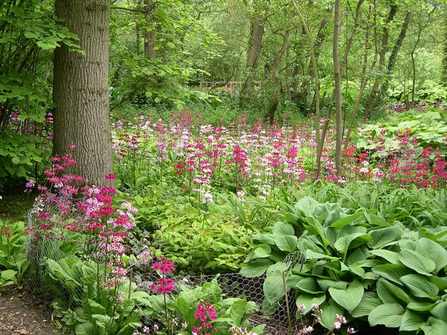
The natural surroundings of Hemblington offer opportunities for outdoor pursuits, such as walking, cycling, and birdwatching. The parish is home to several nature reserves and country parks, including Strumpshaw Fen, which is renowned for its diverse wildlife and wetland habitats.
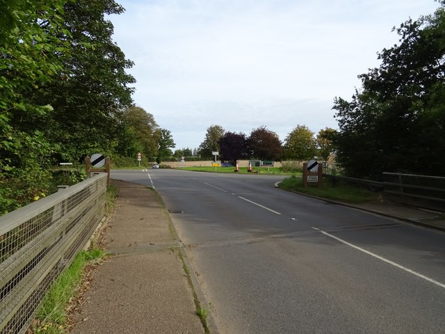
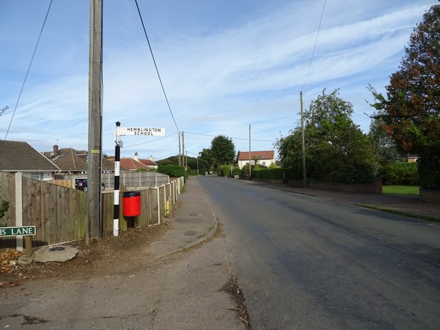
Access to Hemblington is facilitated by a network of roads connecting it to nearby towns and villages. Public transportation options are limited, making private vehicles the primary mode of travel.
Overall, Hemblington is a tranquil and idyllic rural parish, offering a peaceful and close-knit community, as well as a fantastic natural environment for residents and visitors to enjoy.
If you have any feedback on the listing, please let us know in the comments section below.
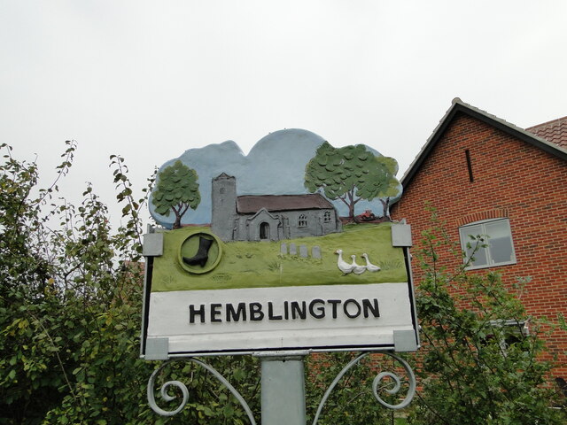
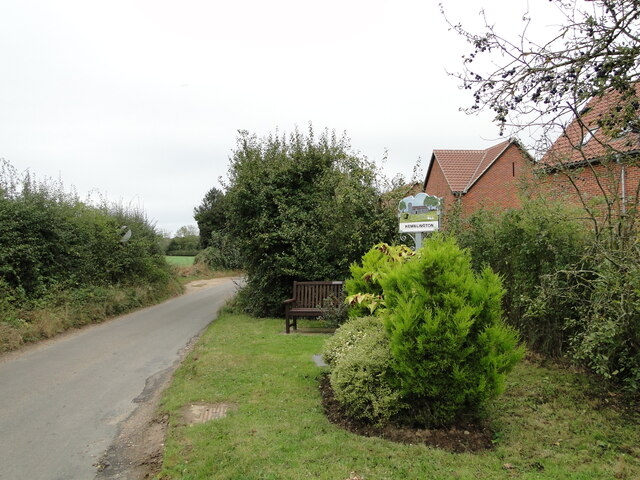
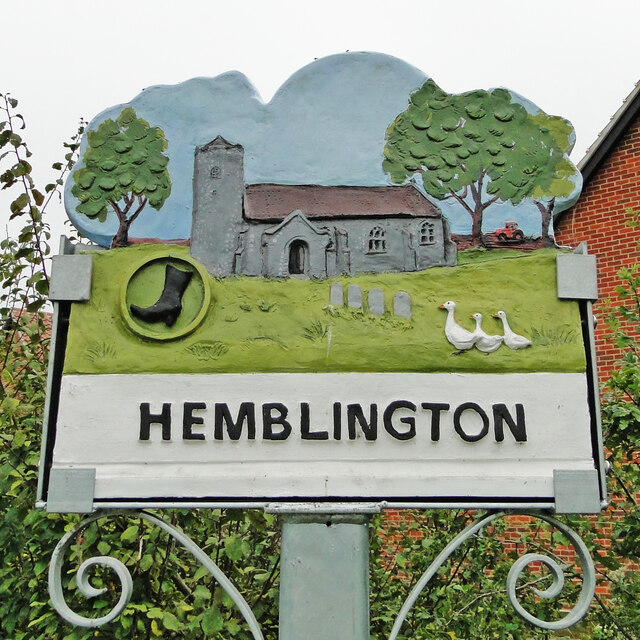
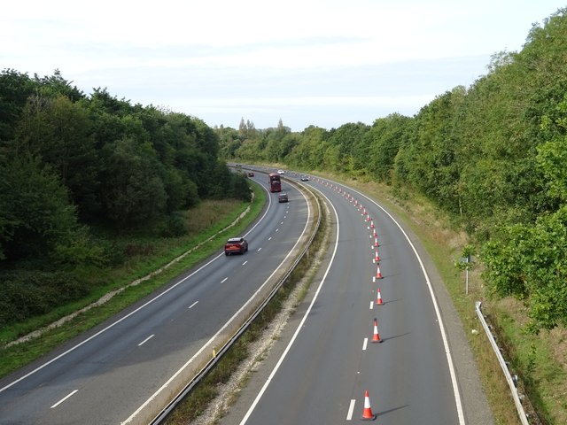
Hemblington Images
Images are sourced within 2km of 52.651073/1.466109 or Grid Reference TG3411. Thanks to Geograph Open Source API. All images are credited.


Hemblington is located at Grid Ref: TG3411 (Lat: 52.651073, Lng: 1.466109)
Administrative County: Norfolk
District: Broadland
Police Authority: Norfolk
What 3 Words
///drawn.swooned.tubes. Near Lingwood, Norfolk
Nearby Locations
Related Wikis
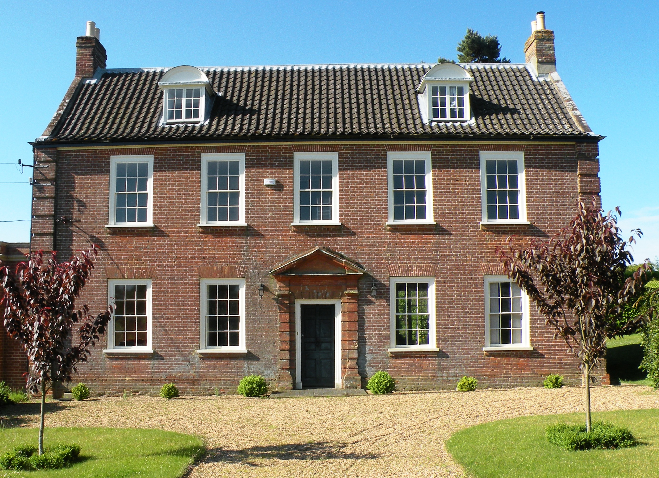
Hemblington Hall
Hemblington Hall is a large farmhouse in Norfolk county, England, built around 1700 with a Georgian facade. This grade II listed building was the home...
Hemblington
Hemblington is a civil parish in the English county of Norfolk, about 8 miles (13 km) east of Norwich. It covers an area of 3.03 km2 (1.17 sq mi) and had...

South Walsham Fen
South Walsham Fen is a 1.4-hectare (3.5-acre) Local Nature Reserve west of South Walsham in Norfolk. It is owned and managed by Norfolk County Council...

Norwich United F.C.
Norwich United Football Club is a football club based in Blofield, Norfolk, England. Affiliated to the Norfolk County FA, they play at Plantation Park...

Blofield Heath
Blofield Heath is a hamlet in the civil parish of Blofield, in the Broadland district, in the county of Norfolk, England. It is about 7 miles from Norwich...
Blofield
Blofield is a village and civil parish in the Broadland district of Norfolk, England. The parish includes Blofield and the hamlets of Blofield Heath and...

South Walsham
South Walsham is a village and civil parish in the English county of Norfolk. It covers an area of 11.43 km2 (4.41 sq mi) and had a population of 738 in...
Fairhaven Woodland and Water Garden
Fairhaven Woodland and Water Garden, Norfolk, England, is a registered charity, comprising 131 acres (0.53 km2) of ancient woodland, woodland garden and...
Nearby Amenities
Located within 500m of 52.651073,1.466109Have you been to Hemblington?
Leave your review of Hemblington below (or comments, questions and feedback).