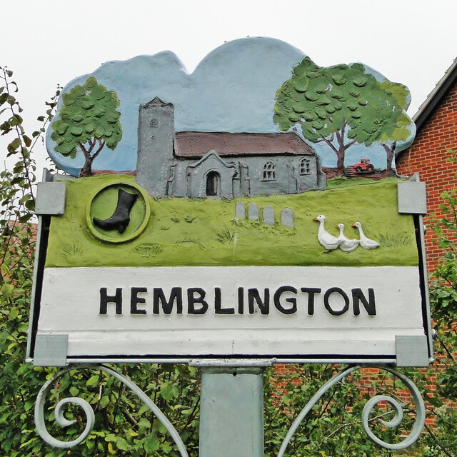
Hemblington
Settlement in Norfolk Broadland
England
Hemblington
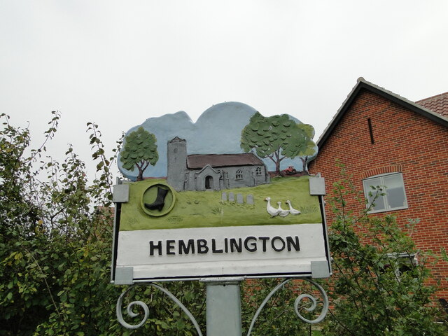
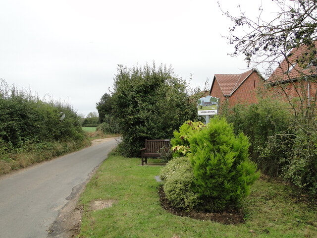
Hemblington is a small village located in the English county of Norfolk. Situated approximately 10 miles east of Norwich, it falls within the administrative district of Broadland. With a population of around 400 residents, Hemblington is known for its tranquil and picturesque countryside setting.
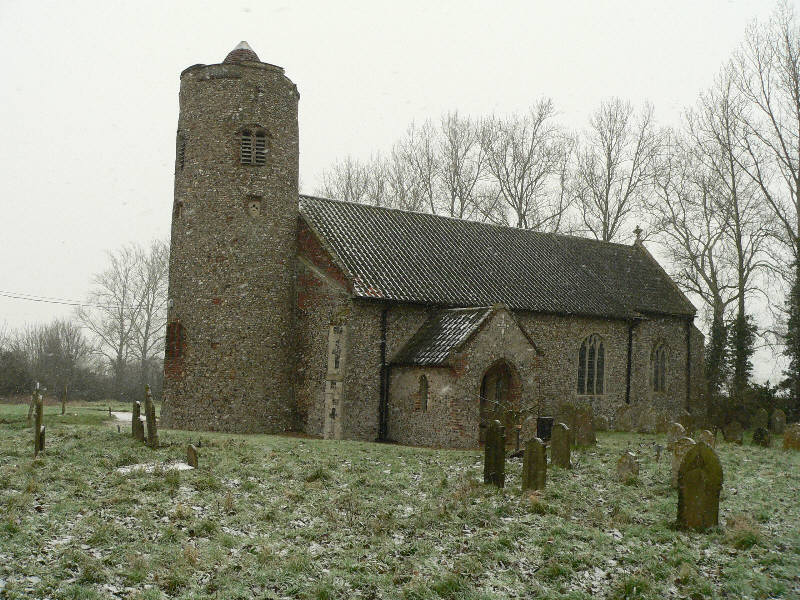
The village is characterized by a mix of traditional Norfolk architecture, including several thatched cottages and old farmhouses. The heart of Hemblington is centered around the St. Andrew's Church, a stunning medieval building dating back to the 14th century. The church features a distinctive round tower and is a popular attraction for visitors interested in historical architecture.
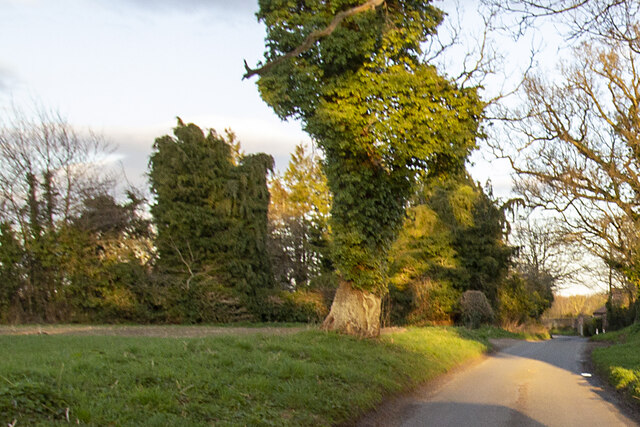
Surrounded by lush green fields and meadows, Hemblington offers numerous opportunities for outdoor activities. The village is located near the River Bure, a popular spot for boating and fishing enthusiasts. The surrounding countryside provides ample space for walking, cycling, and exploring the natural beauty of Norfolk.
While Hemblington is primarily a residential village, it is well-connected to nearby towns and amenities. The city of Norwich is easily accessible by road, offering a range of shopping, dining, and entertainment options. Additionally, the village is within close proximity to the popular tourist attractions of the Norfolk Broads, a network of rivers and lakes renowned for its wildlife and scenic landscapes.
Overall, Hemblington offers a peaceful and idyllic setting for those seeking a countryside retreat, while remaining conveniently located near larger towns and attractions.
If you have any feedback on the listing, please let us know in the comments section below.
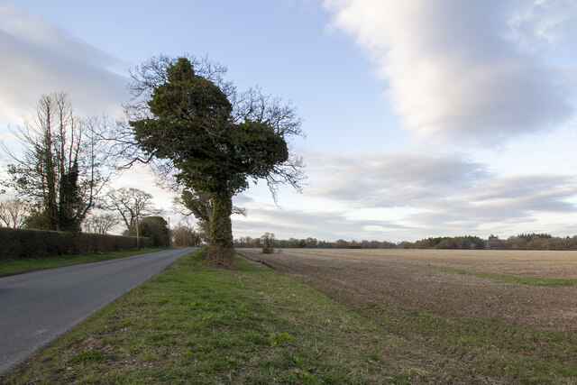
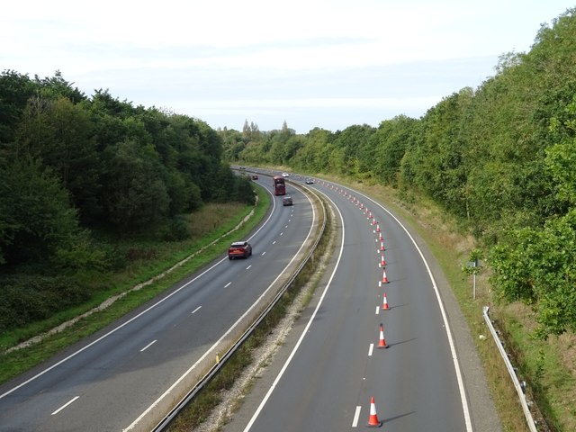
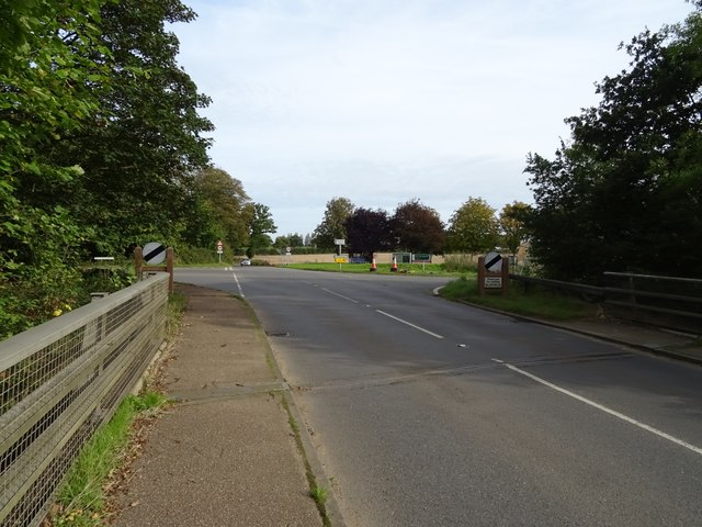
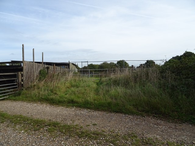
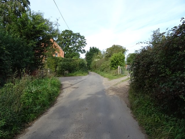
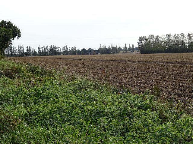
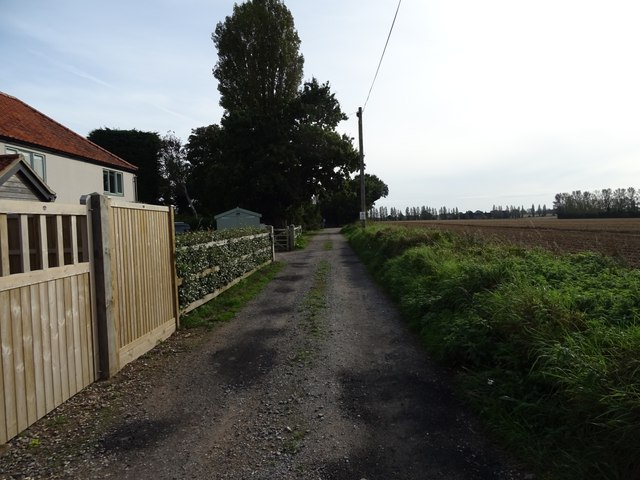
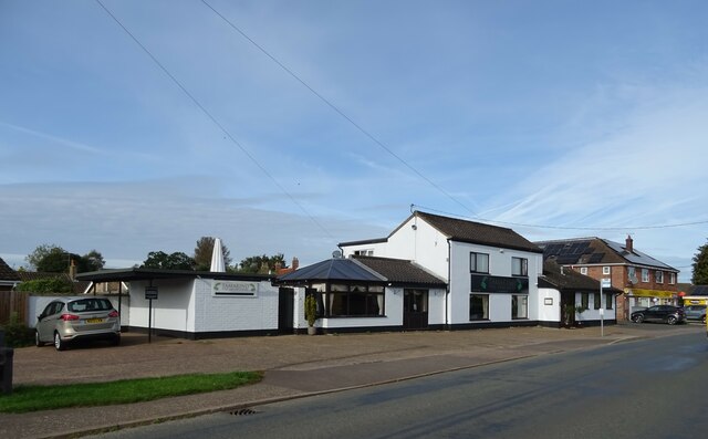
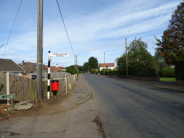
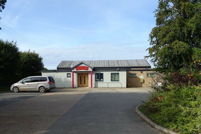
Hemblington Images
Images are sourced within 2km of 52.651016/1.463428 or Grid Reference TG3411. Thanks to Geograph Open Source API. All images are credited.


Hemblington is located at Grid Ref: TG3411 (Lat: 52.651016, Lng: 1.463428)
Administrative County: Norfolk
District: Broadland
Police Authority: Norfolk
What 3 Words
///commended.pound.holdings. Near Brundall, Norfolk
Nearby Locations
Related Wikis
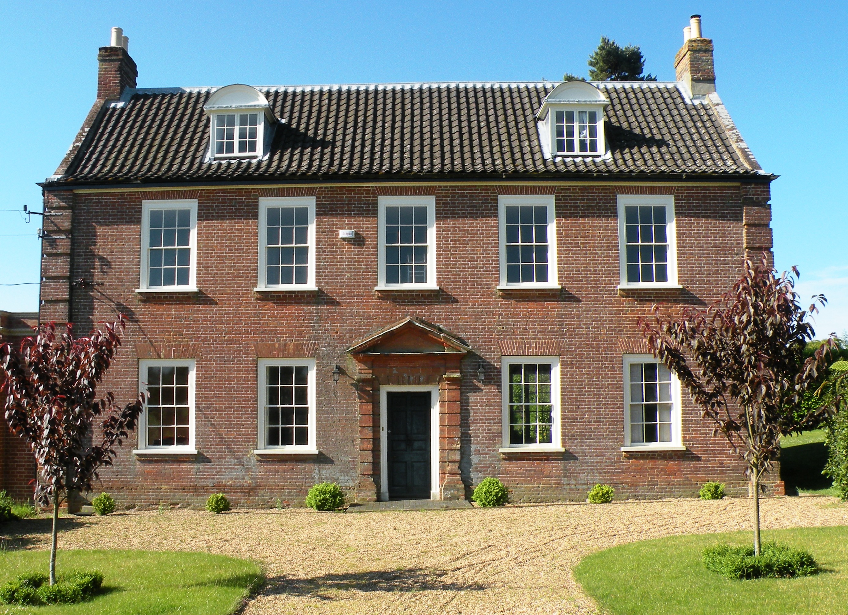
Hemblington Hall
Hemblington Hall is a large farmhouse in Norfolk county, England, built around 1700 with a Georgian facade. This grade II listed building was the home...
Hemblington
Hemblington is a civil parish in the English county of Norfolk, about 8 miles (13 km) east of Norwich. It covers an area of 3.03 km2 (1.17 sq mi) and had...

South Walsham Fen
South Walsham Fen is a 1.4-hectare (3.5-acre) Local Nature Reserve west of South Walsham in Norfolk. It is owned and managed by Norfolk County Council...

Norwich United F.C.
Norwich United Football Club is a football club based in Blofield, Norfolk, England. Affiliated to the Norfolk County FA, they play at Plantation Park...
Nearby Amenities
Located within 500m of 52.651016,1.463428Have you been to Hemblington?
Leave your review of Hemblington below (or comments, questions and feedback).