Bromyard Downs
Settlement in Herefordshire
England
Bromyard Downs
The requested URL returned error: 429 Too Many Requests
If you have any feedback on the listing, please let us know in the comments section below.
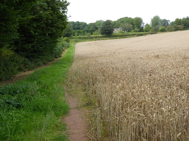
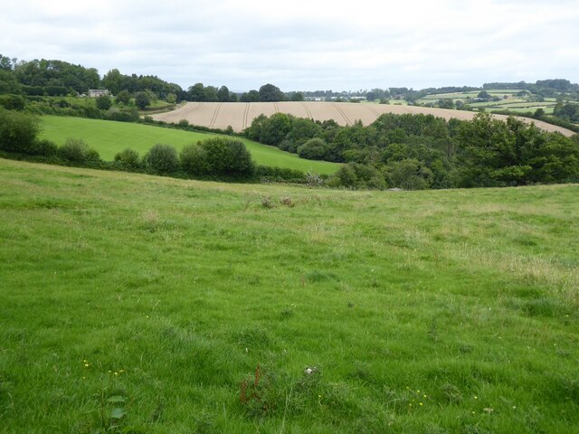
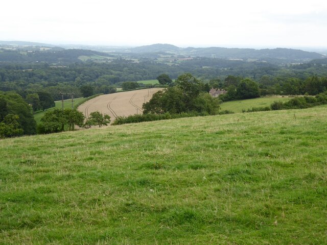
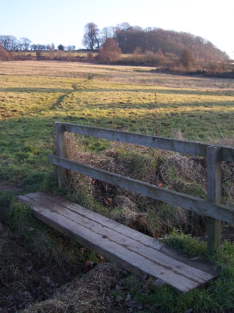
Bromyard Downs Images
Images are sourced within 2km of 52.197621/-2.4926275 or Grid Reference SO6655. Thanks to Geograph Open Source API. All images are credited.


Bromyard Downs is located at Grid Ref: SO6655 (Lat: 52.197621, Lng: -2.4926275)
Unitary Authority: County of Herefordshire
Police Authority: West Mercia
What 3 Words
///owns.retail.dolls. Near Bromyard, Herefordshire
Nearby Locations
Related Wikis

Norton, Herefordshire
Norton is a civil parish in north-east Herefordshire, England, and is approximately 14 miles (23 km) north-east from the city and county town of Hereford...
Bromyard Downs
Bromyard Downs is an area of registered common land, and a scattered settlement, just outside the town of Bromyard in Herefordshire, England. The 114 hectares...

Bromyard Town F.C.
Bromyard Town Football Club is a football club based in Bromyard, Herefordshire, England. They are currently members of the West Midlands (Regional) League...
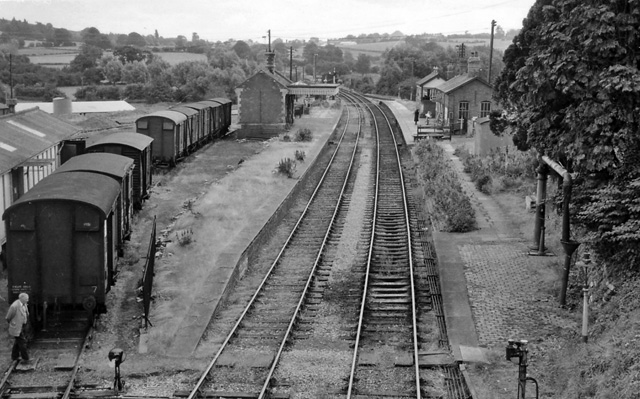
Bromyard railway station
Bromyard railway station was a station in Bromyard, Herefordshire, England. The station was opened on 22 October 1877 and closed after the last train on...
Nearby Amenities
Located within 500m of 52.197621,-2.4926275Have you been to Bromyard Downs?
Leave your review of Bromyard Downs below (or comments, questions and feedback).