Harwood Dale

Civil Parish in Yorkshire Scarborough

England

Harwood Dale

A171 through Harwood Dale Forest
A171 through Harwood Dale Forest Credit: Steven Brown

Harwood Dale is a civil parish located in the Scarborough district of North Yorkshire, England. Situated within the North York Moors National Park, this picturesque area is renowned for its stunning natural beauty and rich history.

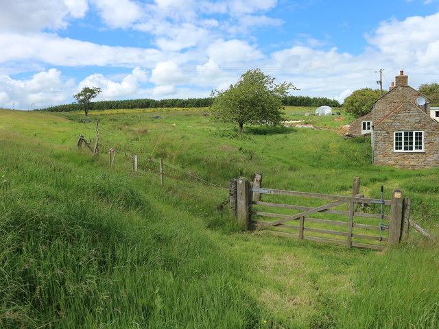
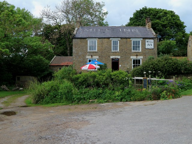
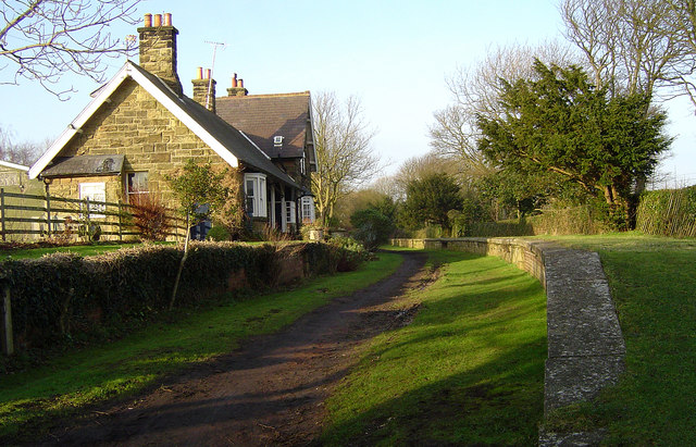
The parish is named after the small village of Harwood Dale, which serves as its main settlement. The village is characterized by its traditional stone buildings and charming rural atmosphere. It is home to a close-knit community that takes pride in its local heritage.

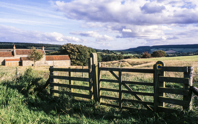
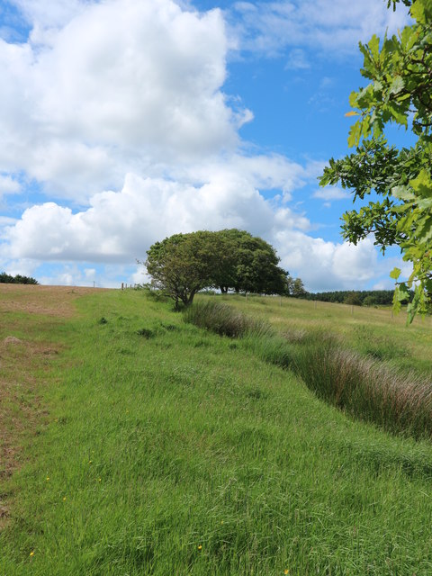
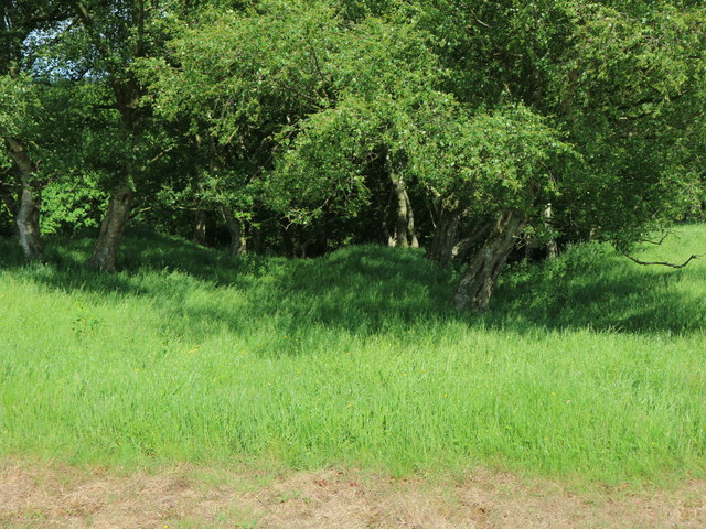
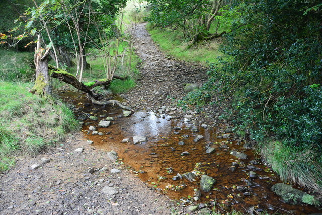
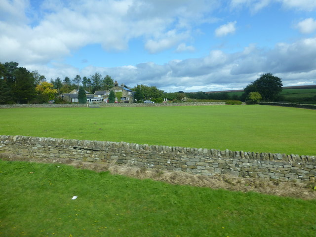
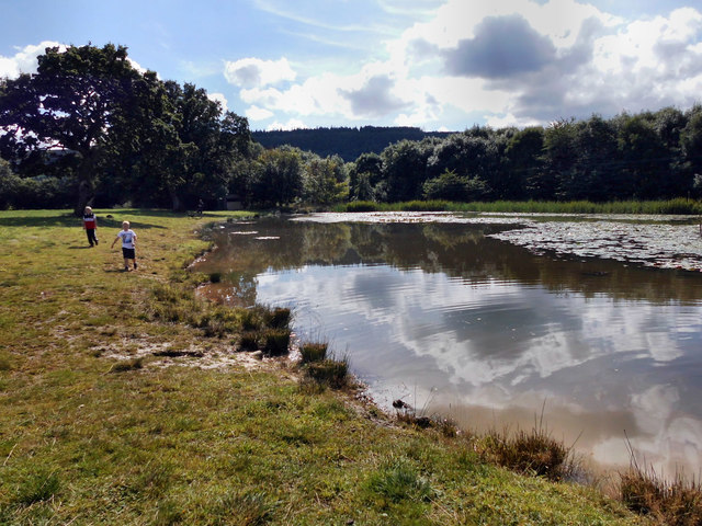
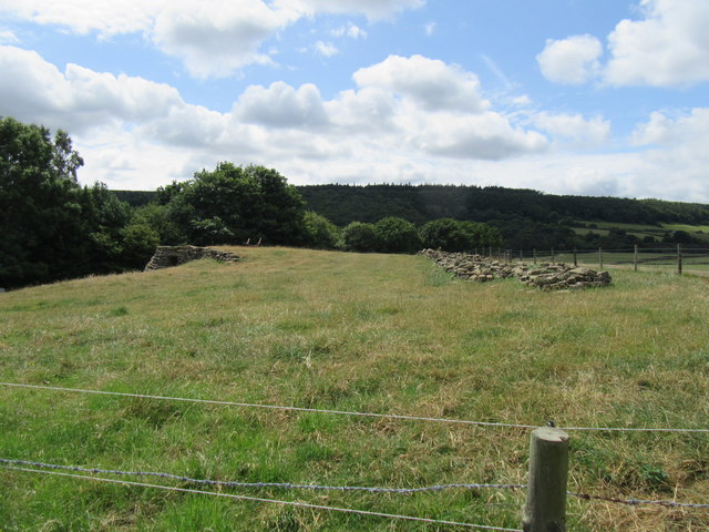
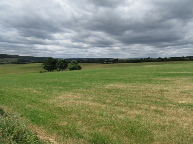
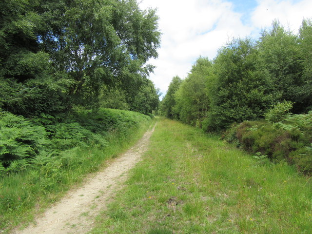
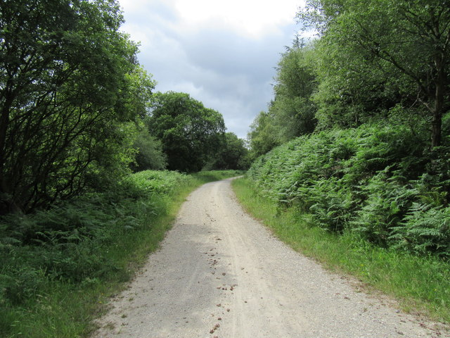
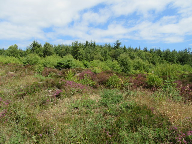
The surrounding countryside is a haven for outdoor enthusiasts, offering a variety of activities such as walking, cycling, and birdwatching. The North York Moors provide a stunning backdrop, with rolling hills, ancient woodlands, and heather-covered moorland. The nearby Harwood Dale Forest is a popular destination for nature lovers, boasting a diverse range of flora and fauna.

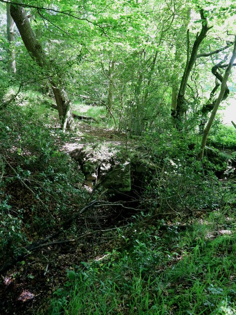
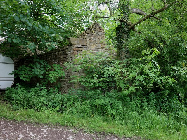
Harwood Dale is also steeped in history, with numerous archaeological sites and historical landmarks. The medieval St. Margaret's Church, located in the heart of the village, is a notable example. Additionally, the area is dotted with ancient burial mounds, prehistoric settlements, and remnants of Roman roads, providing a glimpse into the region's past.

The village itself offers basic amenities, including a post office and a local pub, while the nearby town of Scarborough provides a wider range of facilities and attractions. Overall, Harwood Dale is a tranquil and idyllic location, ideal for those seeking a retreat in the heart of the North Yorkshire countryside.

If you have any feedback on the listing, please let us know in the comments section below.

Harwood Dale Images

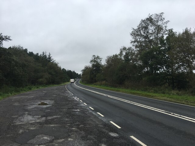
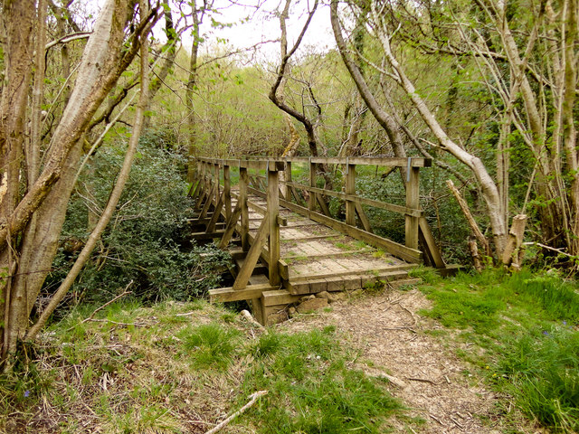
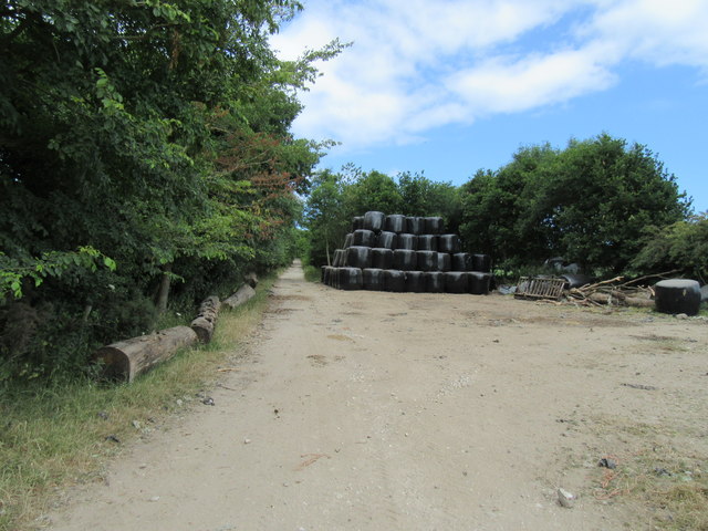
Images are sourced within 2km of 54.355259/-0.525596 or Grid Reference SE9596. Thanks to Geograph Open Source API. All images are credited.

A171 through Harwood Dale Forest
Route of bridleway passing Park Hill Farm Some of the farm buildings are to the left side of the image.
Route of bridleway passing Park Hill Farm
Some of the farm buildings are to the left side of the image.
Foot Bridge over Lownorth Beck
Park Hill Taken from the bridleway which runs up on to Lownorth Moor, a public footpath goes off to the right through the gate and drops down into Castlebeck Wood
Park Hill
Taken from the bridleway which runs up on to Lownorth Moor, a public footpath goes off to the right through the gate and drops down into Castlebeck Wood
Old boundary south of Park Hill The low bank, trees and osiers mark the line of an old field boundary which is paralleled by a public bridleway.
Old boundary south of Park Hill
The low bank, trees and osiers mark the line of an old field boundary which is paralleled by a public bridleway.
Possible double dyke This appears to be a double dyke running into the woodland though it is not shown on the current map as an earthwork
Possible double dyke
This appears to be a double dyke running into the woodland though it is not shown on the current map as an earthwork
Leat for Harwood Dale mill The stone culvert carries a public footpath over the leat for Harwood Dale mill. The leat comes off Jugger Howe Beck (a tributary of the Derwent) at a weir a few yards behind the camera and continues for nearly three quarters of a mile to the mill
Leat for Harwood Dale mill
The stone culvert carries a public footpath over the leat for Harwood Dale mill. The leat comes off Jugger Howe Beck (a tributary of the Derwent) at a weir a few yards behind the camera and continues for nearly three quarters of a mile to the mill
Part of Harwood Dale mill This roofless building housed the water wheel for Harwood Dale mill. The mill dated from the 18th century. It was served by the leat shown in <a href="https://www.geograph.org.uk/photo/5422276">SE9496 : Leat for Harwood Dale mill</a>.
Part of Harwood Dale mill
This roofless building housed the water wheel for Harwood Dale mill. The mill dated from the 18th century. It was served by the leat shown in SE9496 : Leat for Harwood Dale mill.
The Mill Inn, Harwood Dale The mill was in the pantiled roofed building on the left and adjacent to that, though not visible, is the derelict building which housed the wheel shown in <a href="https://www.geograph.org.uk/photo/5422283">SE9596 : Part of Harwood Dale mill</a>
The Mill Inn, Harwood Dale
The mill was in the pantiled roofed building on the left and adjacent to that, though not visible, is the derelict building which housed the wheel shown in SE9596 : Part of Harwood Dale mill
Ford at Harwood Dale This byway ford is found just off the Helwath Road close to Castlebeck Farm.
Ford at Harwood Dale
This byway ford is found just off the Helwath Road close to Castlebeck Farm.
The Falcon Inn viewed from the A171
Breckenhurst Pond
Breckenhurst Pond
Lime Kiln near Grange Farm Near Harwood Dale.
Lime Kiln near Grange Farm
Near Harwood Dale.
Harwood Dale Looking SW.
Harwood Dale
Looking SW.
Bridleway near Harwood Dale The bridleway goes towards Ravenscar.
Bridleway near Harwood Dale
The bridleway goes towards Ravenscar.
Bridleway in Harwood Dale Forest Looking NE.
Bridleway in Harwood Dale Forest
Looking NE.
Keldgate Slack In Harwood Dale Forest.
Keldgate Slack
In Harwood Dale Forest.
Harwood Dale Forest At the track junction.
Harwood Dale Forest
At the track junction.
Show me another place!

Harwood Dale is located at Grid Ref: SE9596 (Lat: 54.355259, Lng: -0.525596)

Division: North Riding

Administrative County: North Yorkshire

District: Scarborough

Police Authority: North Yorkshire

What 3 Words

///inversion.starring.breaches. Near Burniston, North Yorkshire

Nearby Locations

Harwood Dale

Related Wikis

Harwood Dale

Harwood Dale is a village and civil parish in the Scarborough district of North Yorkshire, England. It lies within the North York Moors National Park...

Staintondale

Staintondale (or Stainton Dale) is a small village and civil parish in the Scarborough district of North Yorkshire, England. The village is situated 7...

Crowdon

Crowdon is a village in the Scarborough district of North Yorkshire, England. == References == The geographic coordinates are from the Ordnance Survey...

Staintondale railway station

Staintondale railway station, also known as Stainton Dale railway station, was 8 miles (13 km) north of Scarborough and served the hamlet of Staintondale...

Nearby Amenities

Located within 500m of 54.355259,-0.525596
Moor Cottage Farm
Place: farm
Lat/Long: 54.3542719/-0.5241151
The data included in this document is from www.openstreetmap.org. The data is made available under ODbL.

Have you been to Harwood Dale?

Leave your review of Harwood Dale below (or comments, questions and feedback).