Hainford
Civil Parish in Norfolk Broadland
England
Hainford
Hainford is a civil parish located in the county of Norfolk, England. It is situated approximately 8 miles north of the city of Norwich, and covers an area of around 8 square miles. The parish is part of the Broadland district and falls within the parliamentary constituency of Broadland.
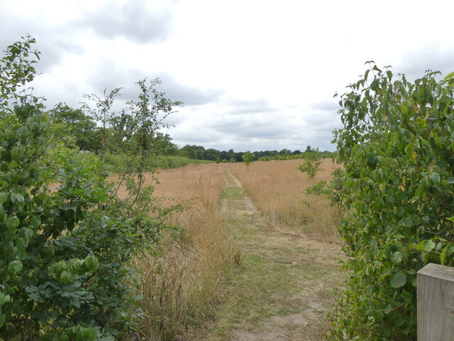
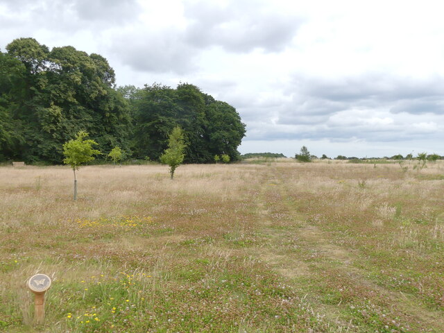
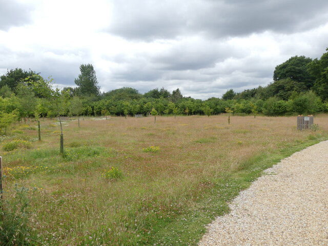
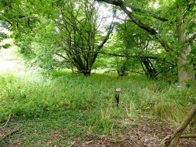
Hainford is a rural village with a population of around 1,000 residents. The village is characterized by its picturesque countryside, with rolling fields and charming farmland surrounding the area. The River Bure flows through the parish, adding to its natural beauty.
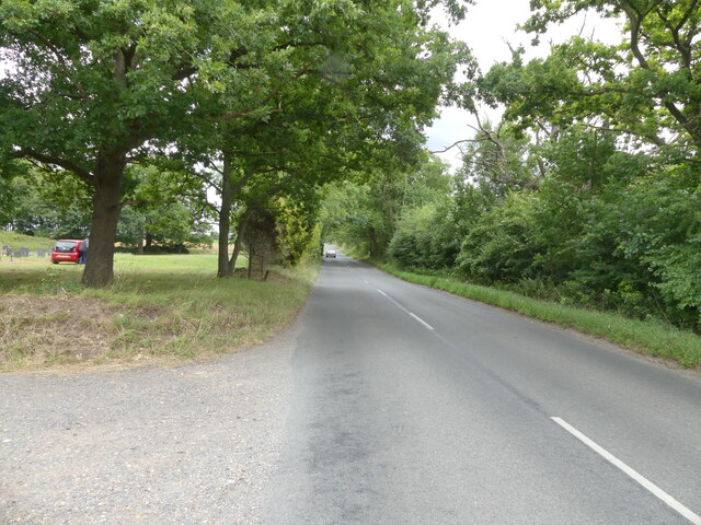
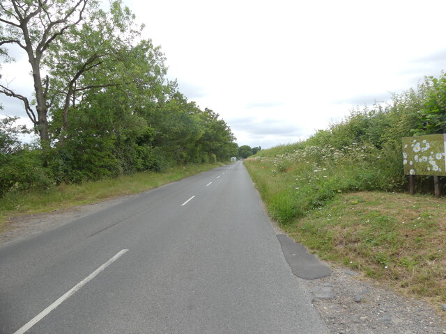
The village is well-connected to nearby towns and cities, with good transport links available. The A140 road runs through the parish, providing easy access to Norwich and other surrounding areas. Hainford also benefits from a regular bus service, connecting residents to nearby towns and villages.
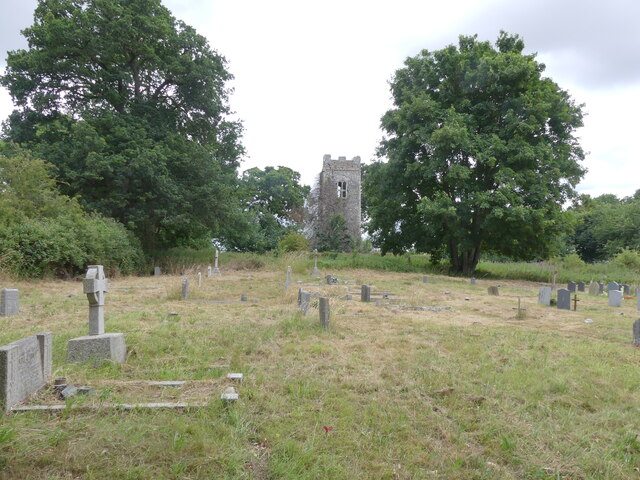
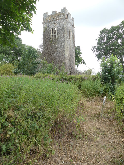
The village has a strong sense of community, with various amenities and facilities for residents. These include a parish church, a primary school, a village hall, and a pub. Hainford also has a number of local businesses, including farms, shops, and small enterprises.
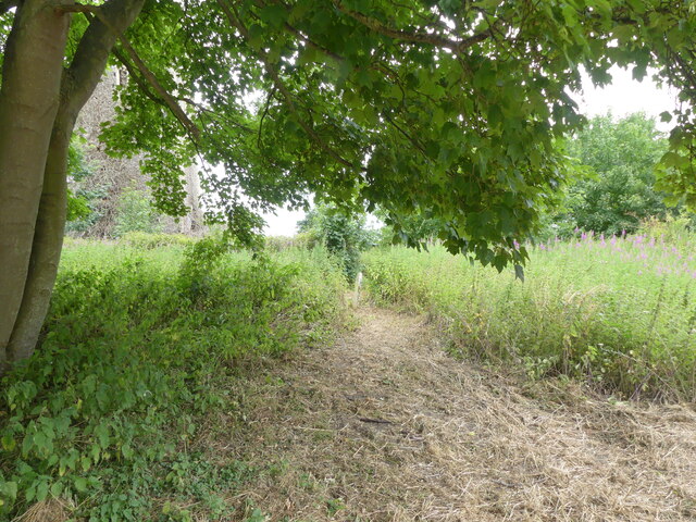
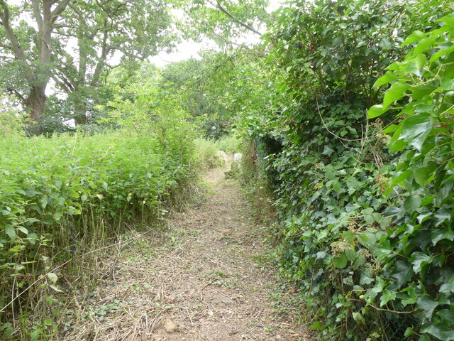
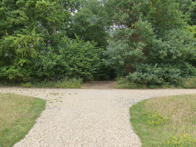
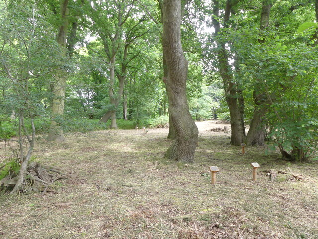
The area offers plenty of opportunities for outdoor activities and leisure pursuits. The surrounding countryside is ideal for walking, cycling, and exploring nature. Additionally, there are several parks, green spaces, and nature reserves in the vicinity, providing residents with places to relax and enjoy the outdoors.
Overall, Hainford is a tranquil and close-knit village, offering a peaceful rural lifestyle within easy reach of larger urban areas.
If you have any feedback on the listing, please let us know in the comments section below.
Hainford Images
Images are sourced within 2km of 52.720901/1.296035 or Grid Reference TG2218. Thanks to Geograph Open Source API. All images are credited.
Hainford is located at Grid Ref: TG2218 (Lat: 52.720901, Lng: 1.296035)
Administrative County: Norfolk
District: Broadland
Police Authority: Norfolk
What 3 Words
///such.panics.pythons. Near Buxton, Norfolk
Nearby Locations
Related Wikis

Hainford
Hainford (originally Haynford) is a village and civil parish in the English county of Norfolk. It covers an area of 6.94 km2 (2.68 sq mi) and had a population...

Stratton Strawless
Stratton Strawless is a village in the county of Norfolk and district of Broadland. The civil parish covers 714 acres (289 ha) and has a population of...

Frettenham Windmill
Frettenham Mill is a Grade II listed tower mill at Frettenham, Norfolk, England which has been converted to residential accommodation. == History == Frettenham...

Frettenham
Frettenham is a village and civil parish in the English county of Norfolk. It is located 3.2 miles (5.1 km) west of Wroxham, and 5.7 miles (9.2 km) north...

Hillside Animal Sanctuary
Hillside Animal Sanctuary, based in Frettenham, Norwich, and with a site at West Runton, North Norfolk, is the United Kingdom's largest home for different...

Horstead Hall
Horstead Hall was a country house in Norfolk that was demolished in the 1950s. The village of Horstead in the county of Norfolk is not short of country...

St Faith's and Aylsham Rural District
St Faith's and Aylsham Rural Districts were adjacent rural districts in Norfolk, England from 1894 to 1935.They were formed under the Local Government...

Buxton, Norfolk
Buxton is a village in the parish of Buxton with Lamas, in the Broadland district of the county of Norfolk, England. It is located between Norwich and...
Nearby Amenities
Located within 500m of 52.720901,1.296035Have you been to Hainford?
Leave your review of Hainford below (or comments, questions and feedback).