Hainford
Settlement in Norfolk Broadland
England
Hainford
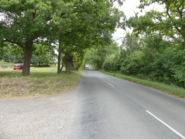
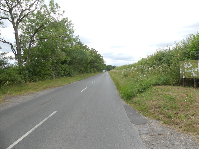
Hainford is a small village located in the county of Norfolk, England. Situated about 7 miles north of the city of Norwich, it is part of the Broadland district. The village is nestled amidst picturesque countryside, surrounded by fields and farmland, offering residents a peaceful and rural environment.
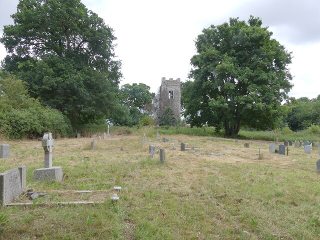
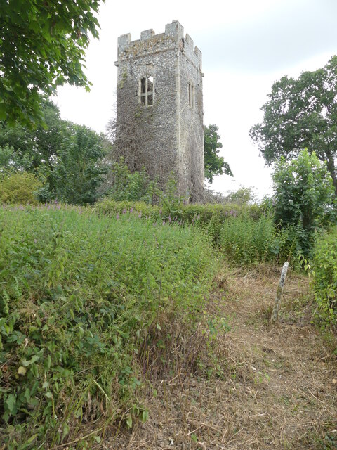
Hainford has a rich history dating back to the Roman times. The village's name is believed to be derived from the Old English words "haga" meaning "enclosure" and "ford" referring to a river crossing, indicating its historical significance as a settlement near a river. The village's church, St. Mary's, is an ancient structure with parts dating back to the 12th century, adding to the historical charm of the area.
Despite its small size, Hainford offers a range of amenities for its residents. The village has a primary school, providing education to local children, and a village hall that serves as a community center for various events and activities. Additionally, Hainford has a local pub that acts as a social hub for locals and visitors alike.
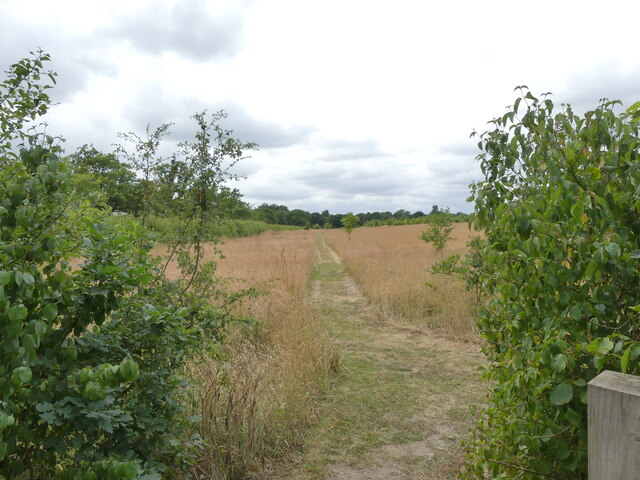
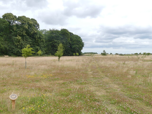
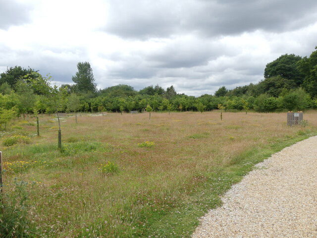
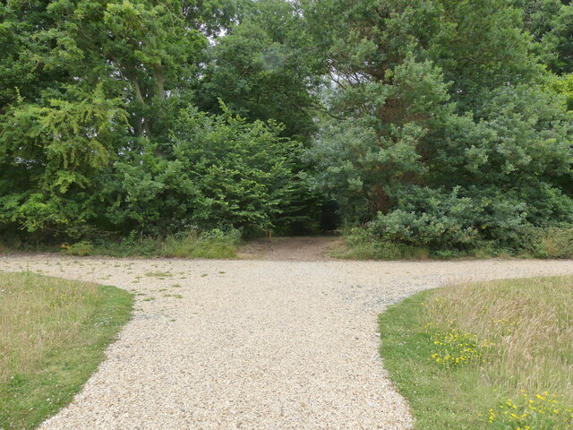
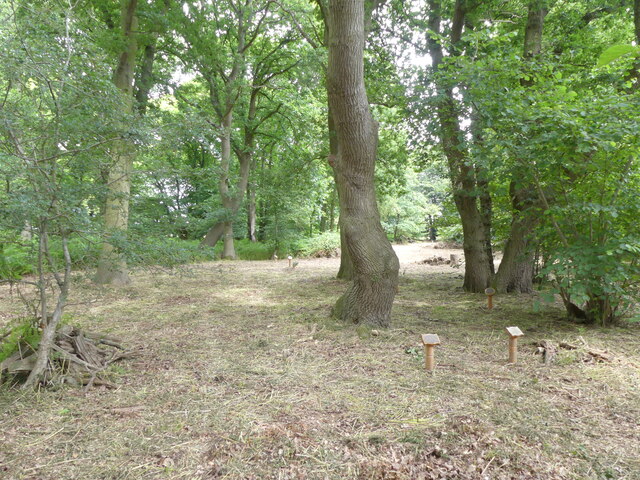
For those seeking recreational opportunities, Hainford is surrounded by beautiful countryside, providing ample opportunities for walking, cycling, and exploring nature. The village is also conveniently located near the Norfolk Broads, a network of rivers, lakes, and wetlands, offering additional opportunities for boating, fishing, and wildlife watching.
Overall, Hainford is a charming village with a rich history and a tranquil setting, making it an attractive place to live for those seeking a peaceful rural lifestyle.
If you have any feedback on the listing, please let us know in the comments section below.
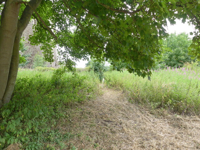
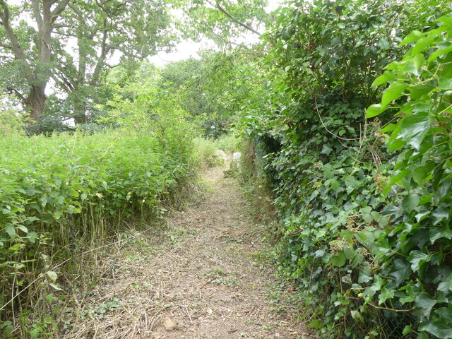
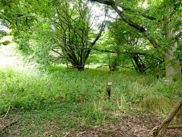
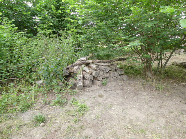
Hainford Images
Images are sourced within 2km of 52.718833/1.295375 or Grid Reference TG2218. Thanks to Geograph Open Source API. All images are credited.
Hainford is located at Grid Ref: TG2218 (Lat: 52.718833, Lng: 1.295375)
Administrative County: Norfolk
District: Broadland
Police Authority: Norfolk
What 3 Words
///rekindle.name.arrive. Near Buxton, Norfolk
Nearby Locations
Related Wikis

Hainford
Hainford (originally Haynford) is a village and civil parish in the English county of Norfolk. It covers an area of 6.94 km2 (2.68 sq mi) and had a population...

Frettenham Windmill
Frettenham Mill is a Grade II listed tower mill at Frettenham, Norfolk, England which has been converted to residential accommodation. == History == Frettenham...

Frettenham
Frettenham is a village and civil parish in the English county of Norfolk. It is located 3.2 miles (5.1 km) west of Wroxham, and 5.7 miles (9.2 km) north...

Stratton Strawless
Stratton Strawless is a village in the county of Norfolk and district of Broadland. The civil parish covers 714 acres (289 ha) and has a population of...

Hillside Animal Sanctuary
Hillside Animal Sanctuary, based in Frettenham, Norwich, and with a site at West Runton, North Norfolk, is the United Kingdom's largest home for different...

St Faith's and Aylsham Rural District
St Faith's and Aylsham Rural Districts were adjacent rural districts in Norfolk, England from 1894 to 1935.They were formed under the Local Government...

Horstead Hall
Horstead Hall was a country house in Norfolk that was demolished in the 1950s. The village of Horstead in the county of Norfolk is not short of country...

Buxton, Norfolk
Buxton is a village in the parish of Buxton with Lamas, in the Broadland district of the county of Norfolk, England. It is located between Norwich and...
Nearby Amenities
Located within 500m of 52.718833,1.295375Have you been to Hainford?
Leave your review of Hainford below (or comments, questions and feedback).