Gurnard
Civil Parish in Hampshire
England
Gurnard
Gurnard is a civil parish located on the northern coast of the Isle of Wight, in Hampshire, England. It is situated about three miles west of Cowes and is part of the wider West Wight area. Gurnard covers an area of approximately 1.5 square miles and has a population of around 1,400 residents.
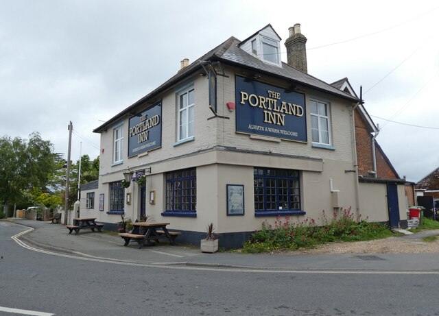
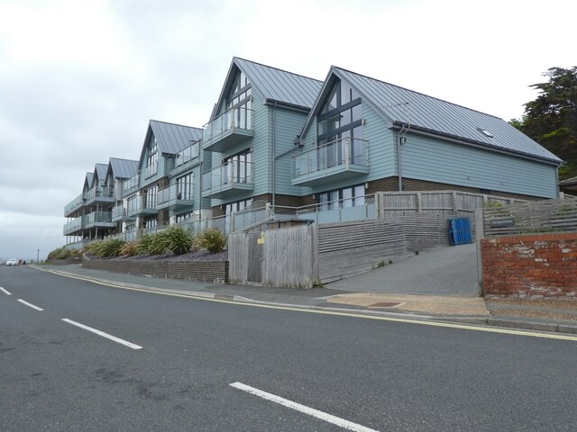
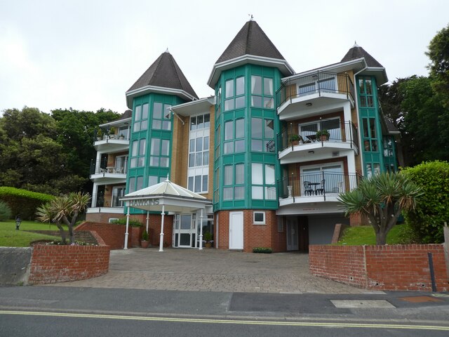
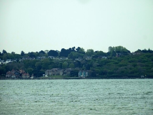
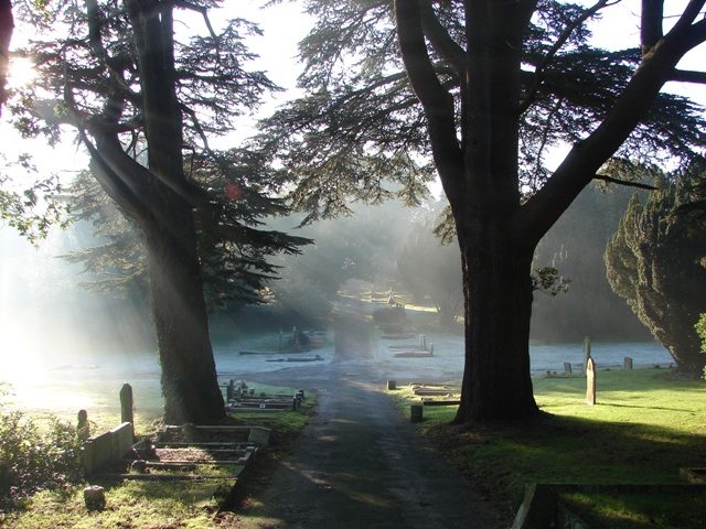
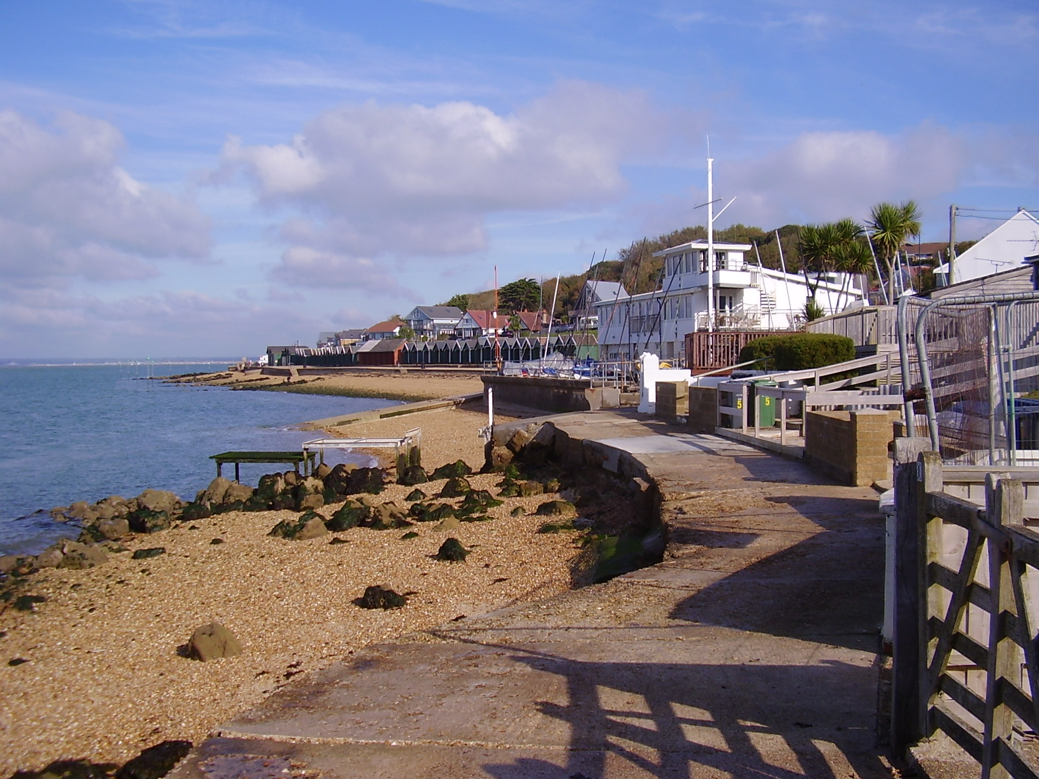
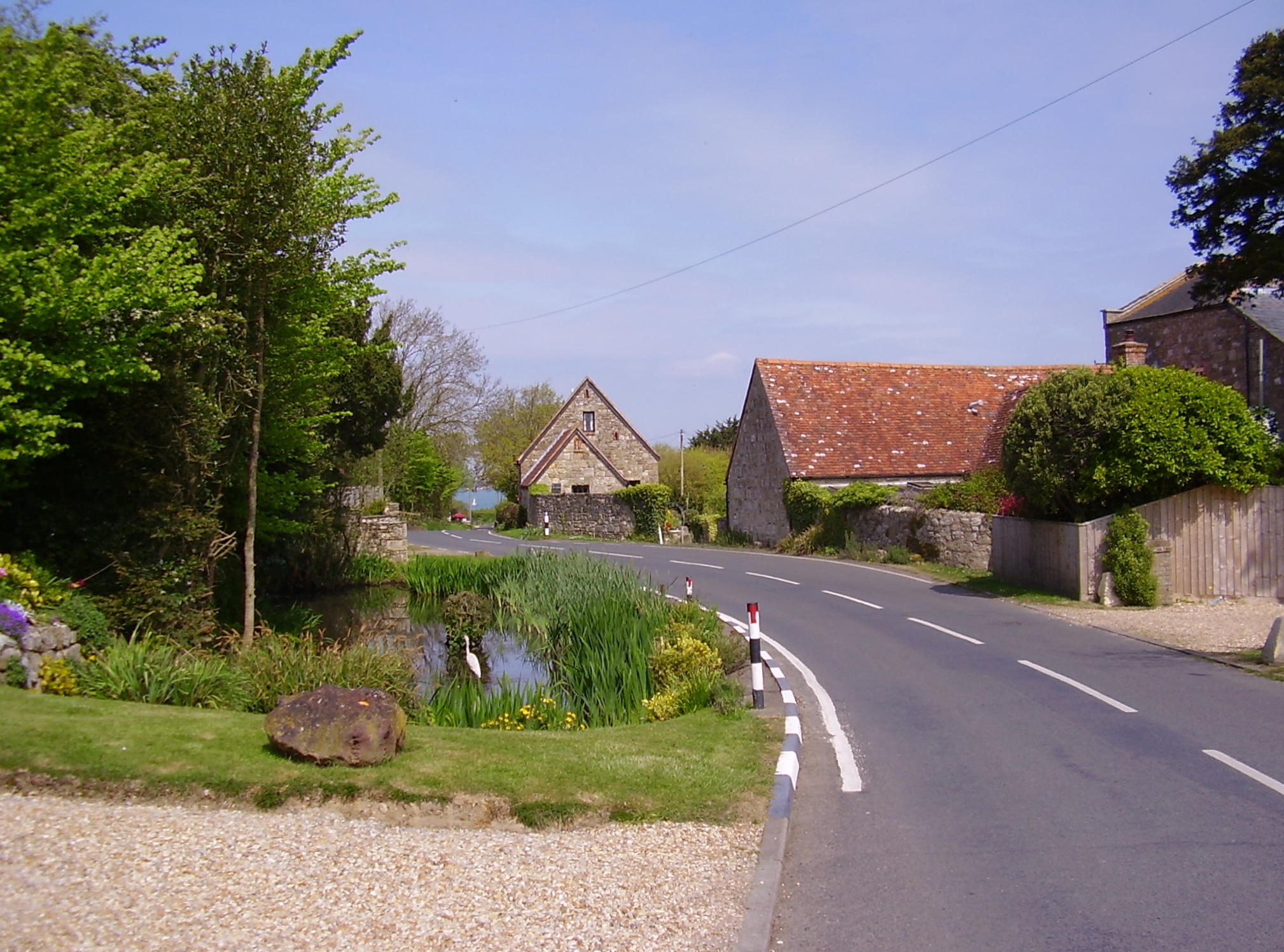
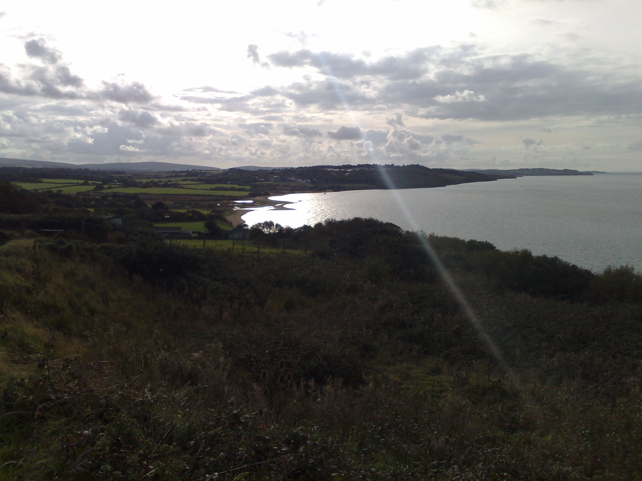
The village of Gurnard is a picturesque and peaceful coastal settlement, known for its stunning views across the Solent to the mainland. It is popular with visitors and locals alike, offering a range of amenities and attractions. The village has a small but thriving community, with a primary school, a village hall, and a church, which adds to its charm and character.
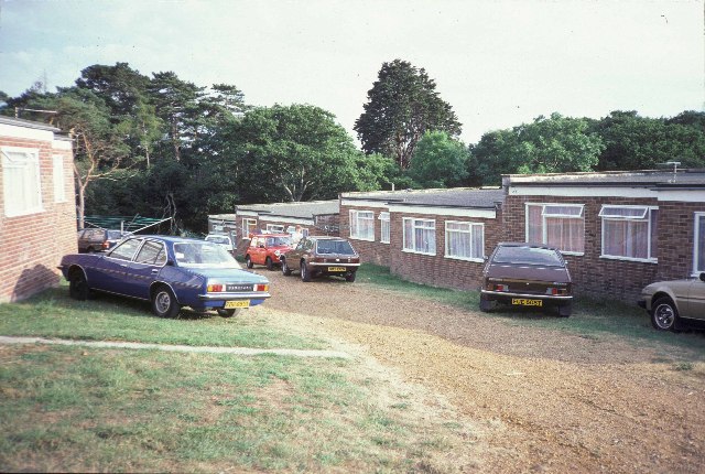
Gurnard has a long history, dating back to the Roman times. It was once an important fishing village and had a reputation for being a smuggler's haven. Today, the village maintains its maritime heritage, with a small harbor that is used by local fishermen and pleasure boaters.
The area surrounding Gurnard is renowned for its natural beauty, with scenic walks along the coast and through nearby woodlands. The beach at Gurnard is a popular spot for swimming, sailing, and windsurfing. The village also has a golf course and a tennis club, providing recreational opportunities for residents and visitors.
Overall, Gurnard is a charming coastal village with a rich history, stunning scenery, and a strong sense of community. It offers a peaceful and idyllic setting for those seeking a relaxed lifestyle in a picturesque location.
If you have any feedback on the listing, please let us know in the comments section below.
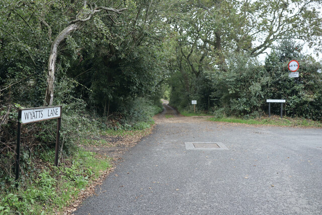
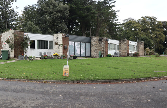
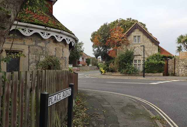
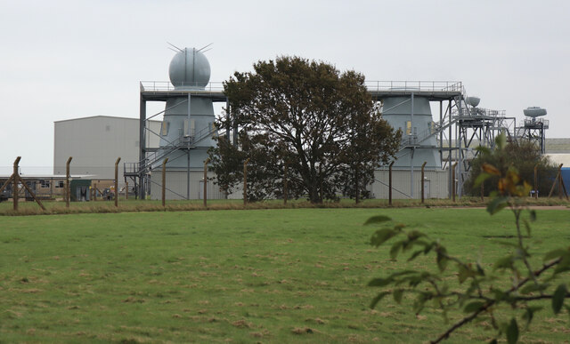
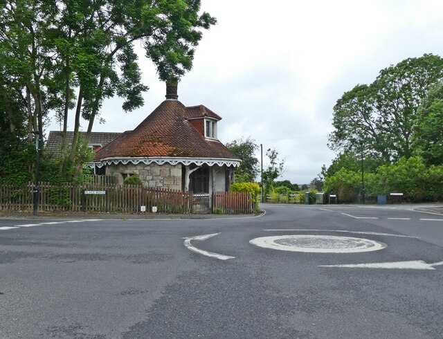
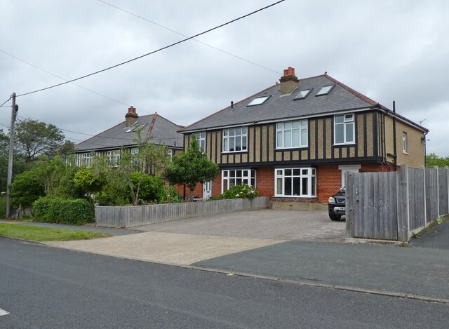
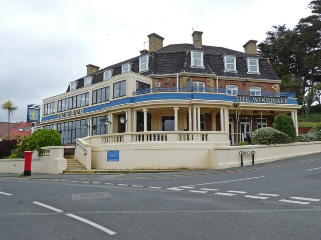
Gurnard Images
Images are sourced within 2km of 50.749703/-1.328287 or Grid Reference SZ4794. Thanks to Geograph Open Source API. All images are credited.


Gurnard is located at Grid Ref: SZ4794 (Lat: 50.749703, Lng: -1.328287)
Unitary Authority: Isle of Wight
Police Authority: Hampshire
What 3 Words
///hats.brew.clashes. Near Gurnard, Isle of Wight
Nearby Locations
Related Wikis
Gurnard, Isle of Wight
Gurnard is a village and civil parish on the Isle of Wight, two miles to the west of Cowes. Gurnard sits on the edge of Gurnard Bay, enjoyed by the Gurnard...
Rew Street
Rew Street is a village on the Isle of Wight. It is located three kilometres southwest of Cowes in the north of the island. The village lies along the...
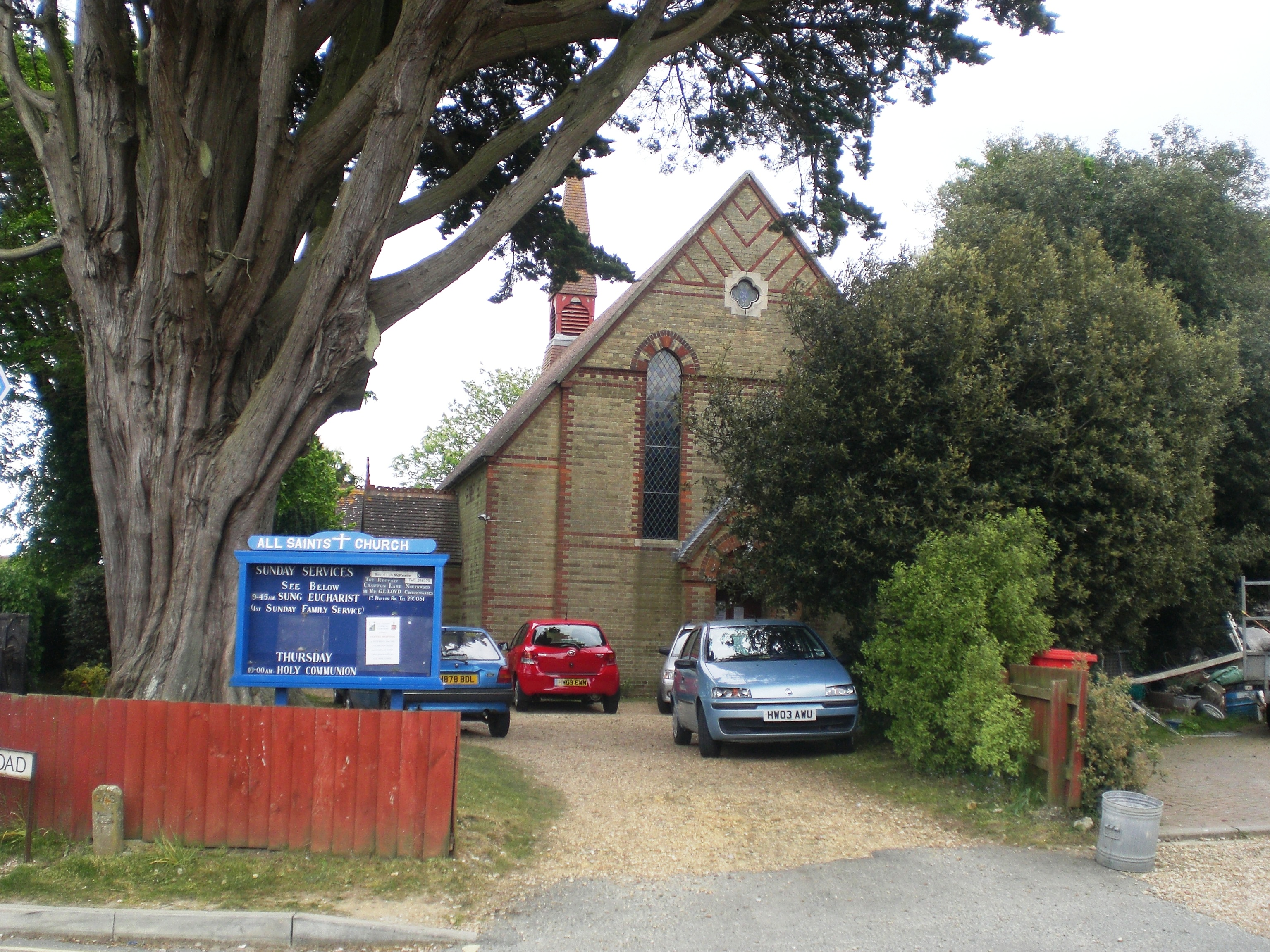
All Saints' Church, Gurnard
All Saints' Church, Gurnard is a parish church in the Church of England located in Gurnard, Isle of Wight. == History == The church dates from 1892 and...

Northwood, Isle of Wight
Northwood is a village and civil parish on the Isle of Wight. It lies south of the town of Cowes and has been occupied for about 1000 years. The Church...

Gurnard Bay
Gurnard Bay is a bay on the north-west coast of the Isle of Wight, England, in the western arm of the Solent. It lies to the north-west of the village...

Unknown Wreck off Thorness Bay
The wreck of a wooden sailing vessel was discovered in Thorness Bay, Isle of Wight, England in 2010. The site was designated under the Protection of Wrecks...

Cowes Enterprise College
Cowes Enterprise College, previously known as Cowes High School, is a coeducational secondary school and sixth form with academy status located on the...
Thorness Bay
Thorness Bay is an 86.2-hectare (213-acre) Site of special scientific interest which is located on the north-west coast of the Isle of Wight, England,...
Nearby Amenities
Located within 500m of 50.749703,-1.328287Have you been to Gurnard?
Leave your review of Gurnard below (or comments, questions and feedback).