Bromeswell

Settlement in Suffolk East Suffolk

England

Bromeswell

Area around Woodbridge from air, 2001 An aerial photo of the Deben estuary and the town of Woodbridge (left). Two airfields are shown: the former Woodbridge Airfield amid Rendlesham Forest to the right and the disused Bentwaters Airfield further away. The site of the Sutton Hoo Ship Burial is behind the small clouds left of centre, across the river from the town.
Area around Woodbridge from air, 2001 Credit: Derek Harper

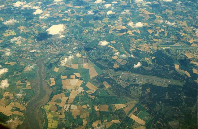
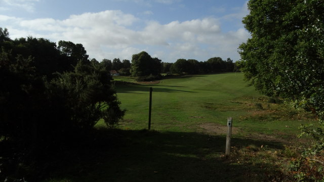
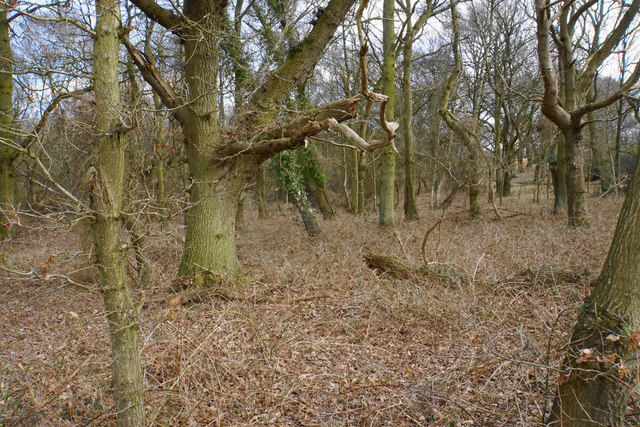
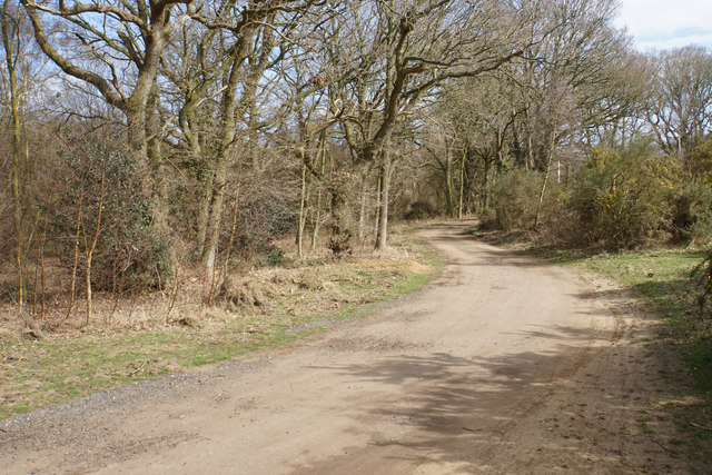
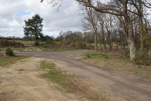
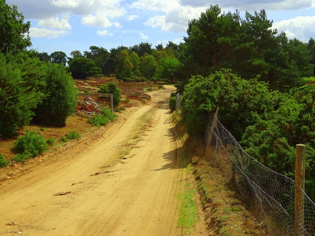
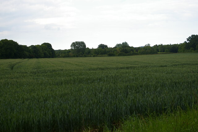
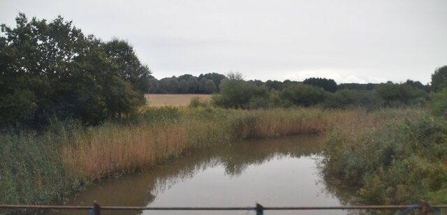
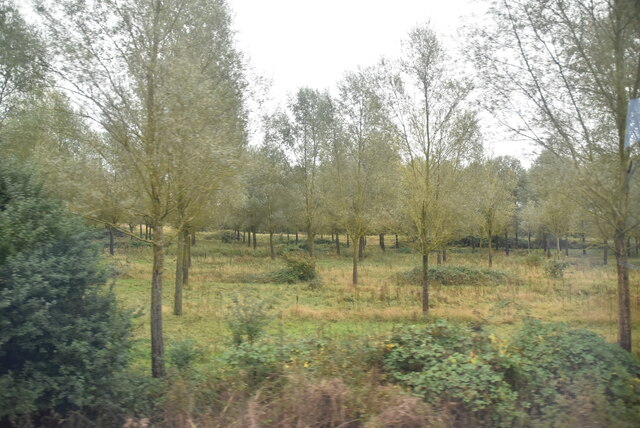
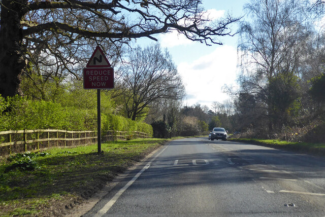
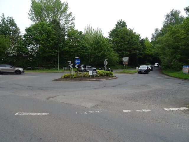
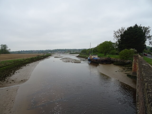
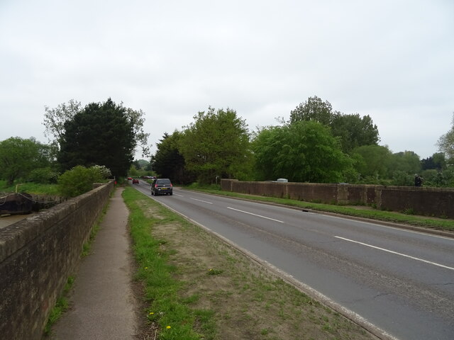
Bromeswell is a small village located in the county of Suffolk, England. Situated approximately three miles east of the historic market town of Woodbridge, it lies on the eastern bank of the River Deben. The village is surrounded by beautiful rural landscapes, characterized by rolling hills, farmland, and picturesque countryside views.

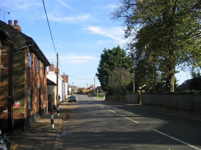
With a population of around 400 residents, Bromeswell maintains a tight-knit community atmosphere. The village is known for its peaceful and idyllic setting, making it a popular destination for those seeking a tranquil retreat. The local architecture features a mix of traditional thatched cottages and more modern houses, blending seamlessly with the natural surroundings.

Despite its small size, Bromeswell offers a range of amenities to its residents and visitors. The village boasts a well-regarded primary school, providing education for children in the local area. Additionally, there is a charming village hall that serves as a hub for community events and activities, including art exhibitions, dance classes, and social gatherings.

Nature enthusiasts are drawn to Bromeswell due to its proximity to the Suffolk Coast and Heaths Area of Outstanding Natural Beauty. The area offers opportunities for hiking, bird watching, and exploring the unspoiled coastline. The nearby market town of Woodbridge provides a wider range of amenities, including shops, restaurants, and leisure facilities.

In summary, Bromeswell is a small, picturesque village in Suffolk, England, renowned for its beautiful surroundings, close-knit community, and easy access to both rural and coastal landscapes.

If you have any feedback on the listing, please let us know in the comments section below.

Bromeswell Images

Images are sourced within 2km of 52.106584/1.360203 or Grid Reference TM3050. Thanks to Geograph Open Source API. All images are credited.

Area around Woodbridge from air, 2001 An aerial photo of the Deben estuary and the town of Woodbridge (left). Two airfields are shown: the former Woodbridge Airfield amid Rendlesham Forest to the right and the disused Bentwaters Airfield further away. The site of the Sutton Hoo Ship Burial is behind the small clouds left of centre, across the river from the town.
Area around Woodbridge from air, 2001
An aerial photo of the Deben estuary and the town of Woodbridge (left). Two airfields are shown: the former Woodbridge Airfield amid Rendlesham Forest to the right and the disused Bentwaters Airfield further away. The site of the Sutton Hoo Ship Burial is behind the small clouds left of centre, across the river from the town.
Sandlings Walk across Woodbridge Golf Course
Woodland by Woodbridge Golf Club Mature broad-leaved trees have a safe refuge here.
Woodland by Woodbridge Golf Club
Mature broad-leaved trees have a safe refuge here.
Track on Bromeswell Heath The track incorporates a bridleway leading away from Woodbridge Golf Club.
Track on Bromeswell Heath
The track incorporates a bridleway leading away from Woodbridge Golf Club.
Track junction by Woodbridge Golf Club The route right will make you cross a fairway.
Track junction by Woodbridge Golf Club
The route right will make you cross a fairway.
Private track on Bromswell Heath This pic was taken from the public footpath, so I wasn't trespassing.
Private track on Bromswell Heath
This pic was taken from the public footpath, so I wasn't trespassing.
The Granary
The Granary
Field off Lodge Farm Lane
River Deben The recognised source is to the west of Debenham, though a second, higher source runs south from the parish of Bedingfield. The river, which is just over 33 miles long, passes through Woodbridge, where it becomes a tidal estuary before emptying into the North Sea between Felixstowe and Bawdsey at Harwich Haven.
River Deben
The recognised source is to the west of Debenham, though a second, higher source runs south from the parish of Bedingfield. The river, which is just over 33 miles long, passes through Woodbridge, where it becomes a tidal estuary before emptying into the North Sea between Felixstowe and Bawdsey at Harwich Haven.
Open woodland
Open woodland
Industrial units
Industrial units
Wilford Bridge Rd <span class="nowrap"><a title="https://en.wikipedia.org/wiki/A1152_road" rel="nofollow ugc noopener" href="https://en.wikipedia.org/wiki/A1152_road">Link</a><img style="margin-left:2px;" alt="External link" title="External link - shift click to open in new window" src="https://s1.geograph.org.uk/img/external.png" width="10" height="10"/></span>
Wilford Bridge Rd
A1152 Orford Road Towards Orford, but the A1152 turns away from the Orford road towards Snape. It does not even reach that, becoming a B road after Rendlesham where a former American air base, RAF Bentwaters, was probably the reason for its A status.
A1152 Orford Road
Towards Orford, but the A1152 turns away from the Orford road towards Snape. It does not even reach that, becoming a B road after Rendlesham where a former American air base, RAF Bentwaters, was probably the reason for its A status.
Level crossing at Melton On the East Suffolk line between Ipswich and Lowestoft.
Level crossing at Melton
On the East Suffolk line between Ipswich and Lowestoft.
Roundabout on the A1152
River Deben from Wilford Bridge
Wilford Bridge Road (A1152) Towards Melton.
Wilford Bridge Road (A1152)
Towards Melton.
Level crossing on Wilford Bridge Road (A1152)
Show me another place!

Bromeswell is located at Grid Ref: TM3050 (Lat: 52.106584, Lng: 1.360203)

Administrative County: Suffolk

District: East Suffolk

Police Authority: Suffolk

What 3 Words

///prongs.others.pigtails. Near Woodbridge, Suffolk

Nearby Locations

Bromeswell Bromeswell

Related Wikis

Bromeswell

Bromeswell is a village and civil parish in the East Suffolk district of Suffolk, England about 2 miles east of Woodbridge. Situated near the River Deben...

Bromeswell Green

Bromeswell Green is a 7.2-hectare (18-acre) nature reserve in Bromeswell, east of Woodbridge in Suffolk. It is managed by the Suffolk Wildlife Trust.This...

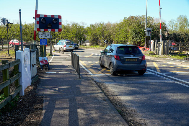
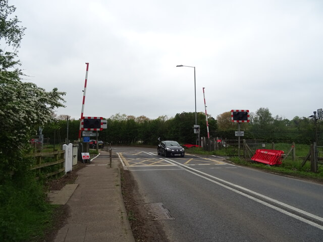
Melton railway station, Suffolk

Melton railway station is on the East Suffolk Line in the east of England, serving the village of Melton, Suffolk. It is 11 miles 49 chains (18.7 km) down...

Eyke

Eyke is a village and a civil parish in the East Suffolk district, in the English county of Suffolk. It is located on the A1152 road near the town of Woodbridge...

Nearby Amenities

Located within 500m of 52.106584,1.360203
Bromeswell
Nat Gaz Id: E0051593
Place: village
Wikidata: Q2801838
Wikipedia: en:Bromeswell
Lat/Long: 52.1061932/1.3625714
Post Box
Collection Times: Mo-Fr 09:00; Sa 09:00
Post Box Type: wall
Ref: IP12 6220
Royal Cypher: EIIR
Royal Cypher Wikidata: Q33102113
Lat/Long: 52.1065704/1.3603136
Parking
Access: private
Lat/Long: 52.1074401/1.3584986
Parking
Access: private
Lat/Long: 52.1068503/1.3630356
Parking
Access: private
Lat/Long: 52.1067918/1.3629162
Parking
Access: private
Lat/Long: 52.1067795/1.3623758
Parking
Access: private
Lat/Long: 52.1071781/1.3619842
Parking
Access: private
Lat/Long: 52.1073717/1.3620163
Parking
Access: private
Lat/Long: 52.1073865/1.3611808
Parking
Access: private
Lat/Long: 52.1074096/1.3616355
Power: pole
Lat/Long: 52.1037597/1.3557896
Power: pole
Lat/Long: 52.1023676/1.3596319
Power: pole
Lat/Long: 52.1030768/1.3584705
Power: pole
Lat/Long: 52.1036337/1.3568826
Power: pole
Lat/Long: 52.1024886/1.359601
Power: pole
Lat/Long: 52.1031015/1.3585523
Power: pole
Lat/Long: 52.1036831/1.3569054
Power: pole
Lat/Long: 52.1038446/1.3556448
Generator Method: photovoltaic
Generator Output Electricity: yes
Generator Source: solar
Generator Type: solar_photovoltaic_panel
Location: roof
Power: generator
Lat/Long: 52.1072103/1.3565594
Generator Method: photovoltaic
Generator Output Electricity: yes
Generator Source: solar
Generator Type: solar_photovoltaic_panel
Location: roof
Power: generator
Lat/Long: 52.1045942/1.3616127
Generator Method: photovoltaic
Generator Output Electricity: yes
Generator Source: solar
Generator Type: solar_photovoltaic_panel
Location: roof
Power: generator
Lat/Long: 52.105123/1.3624254
Generator Method: photovoltaic
Generator Output Electricity: yes
Generator Source: solar
Generator Type: solar_photovoltaic_panel
Location: roof
Power: generator
Lat/Long: 52.1063372/1.3609287
Generator Method: photovoltaic
Generator Output Electricity: yes
Generator Source: solar
Generator Type: solar_photovoltaic_panel
Location: roof
Power: generator
Lat/Long: 52.1068462/1.3628814
Generator Method: photovoltaic
Generator Output Electricity: yes
Generator Source: solar
Generator Type: solar_photovoltaic_panel
Location: roof
Power: generator
Lat/Long: 52.106866/1.3633293
Generator Method: photovoltaic
Generator Output Electricity: yes
Generator Source: solar
Generator Type: solar_photovoltaic_panel
Location: roof
Power: generator
Lat/Long: 52.1074343/1.3610816
Generator Method: photovoltaic
Generator Output Electricity: yes
Generator Source: solar
Generator Type: solar_photovoltaic_panel
Location: roof
Power: generator
Lat/Long: 52.1072926/1.3602957
Generator Method: photovoltaic
Generator Output Electricity: yes
Generator Source: solar
Generator Type: solar_photovoltaic_panel
Location: roof
Power: generator
Lat/Long: 52.1089334/1.3607088
Leisure: pitch
Sport: petanque
Lat/Long: 52.1027179/1.3614339
Man Made: village_sign
Lat/Long: 52.1028958/1.3618818
Entrance: yes
Lat/Long: 52.1028132/1.3618446
The data included in this document is from www.openstreetmap.org. The data is made available under ODbL.

Have you been to Bromeswell?

Leave your review of Bromeswell below (or comments, questions and feedback).