Great Ponton
Civil Parish in Lincolnshire South Kesteven
England
Great Ponton

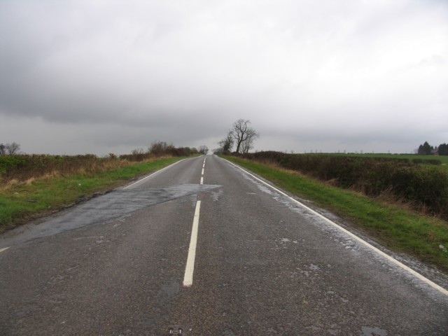
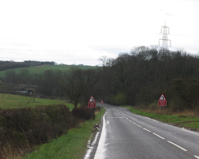
Great Ponton is a civil parish located in the county of Lincolnshire in eastern England. Situated approximately 5 miles southwest of Grantham, it covers an area of around 3 square miles. The village is set in a rural landscape with open fields and farmland surrounding it.
Great Ponton has a population of around 300 residents, and it is known for its peaceful and idyllic atmosphere. The village has a rich history, with evidence of human settlement dating back to the Roman era. The name "Ponton" is derived from the Old English word "pund," meaning a bridge, indicating the presence of a bridge in the area in the past.
The heart of the village is centered around the Church of St. Guthlac, a beautiful medieval church that dates back to the 12th century. The church is a Grade I listed building and is known for its architectural significance. Other notable landmarks in Great Ponton include several charming cottages and traditional houses, which add to the village's character.
While Great Ponton is primarily a residential area, it does have some amenities for its residents. These include a primary school, a village hall, and a pub. The village also benefits from its proximity to larger towns like Grantham, which provide access to additional services and facilities.
Overall, Great Ponton offers a peaceful and picturesque setting for its residents, with a close-knit community and a rich history that adds to its charm.
If you have any feedback on the listing, please let us know in the comments section below.
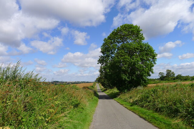
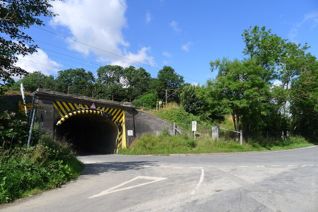
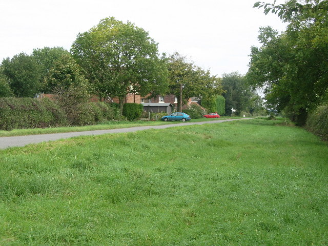
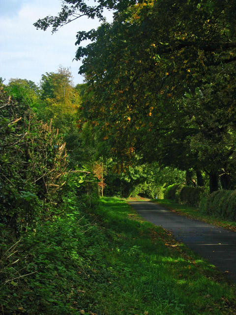
Great Ponton Images
Images are sourced within 2km of 52.860263/-0.62899 or Grid Reference SK9230. Thanks to Geograph Open Source API. All images are credited.


Great Ponton is located at Grid Ref: SK9230 (Lat: 52.860263, Lng: -0.62899)
Administrative County: Lincolnshire
District: South Kesteven
Police Authority: Lincolnshire
What 3 Words
///gazes.pigs.workers. Near Grantham, Lincolnshire
Nearby Locations
Related Wikis

Great Ponton
Great Ponton is an English village and civil parish in the South Kesteven district of Lincolnshire, 3 miles (5 km) south of Grantham on the A1 trunk road...

Ellys Manor House
Ellys Manor House (pronounced "Ellis"), or the Old Rectory is a late-fifteenth to early sixteenth century manor house in Great Ponton, Lincolnshire, England...

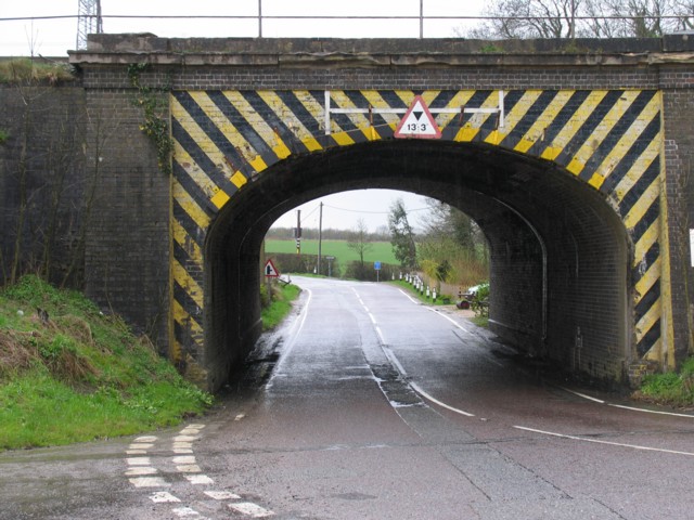
Great Ponton railway station
Great Ponton railway station was a station on the East Coast Main Line at Great Ponton, Lincolnshire, England. The Great Northern Railway opened it in...

Little Ponton and Stroxton
Little Ponton and Stroxton is a civil parish in the South Kesteven district of Lincolnshire, England. According to the 2001 Census it had a population...

Stroxton
Stroxton () is a village in the South Kesteven district of Lincolnshire, England. It is situated 3 miles (4.8 km) south from the centre of Grantham and...
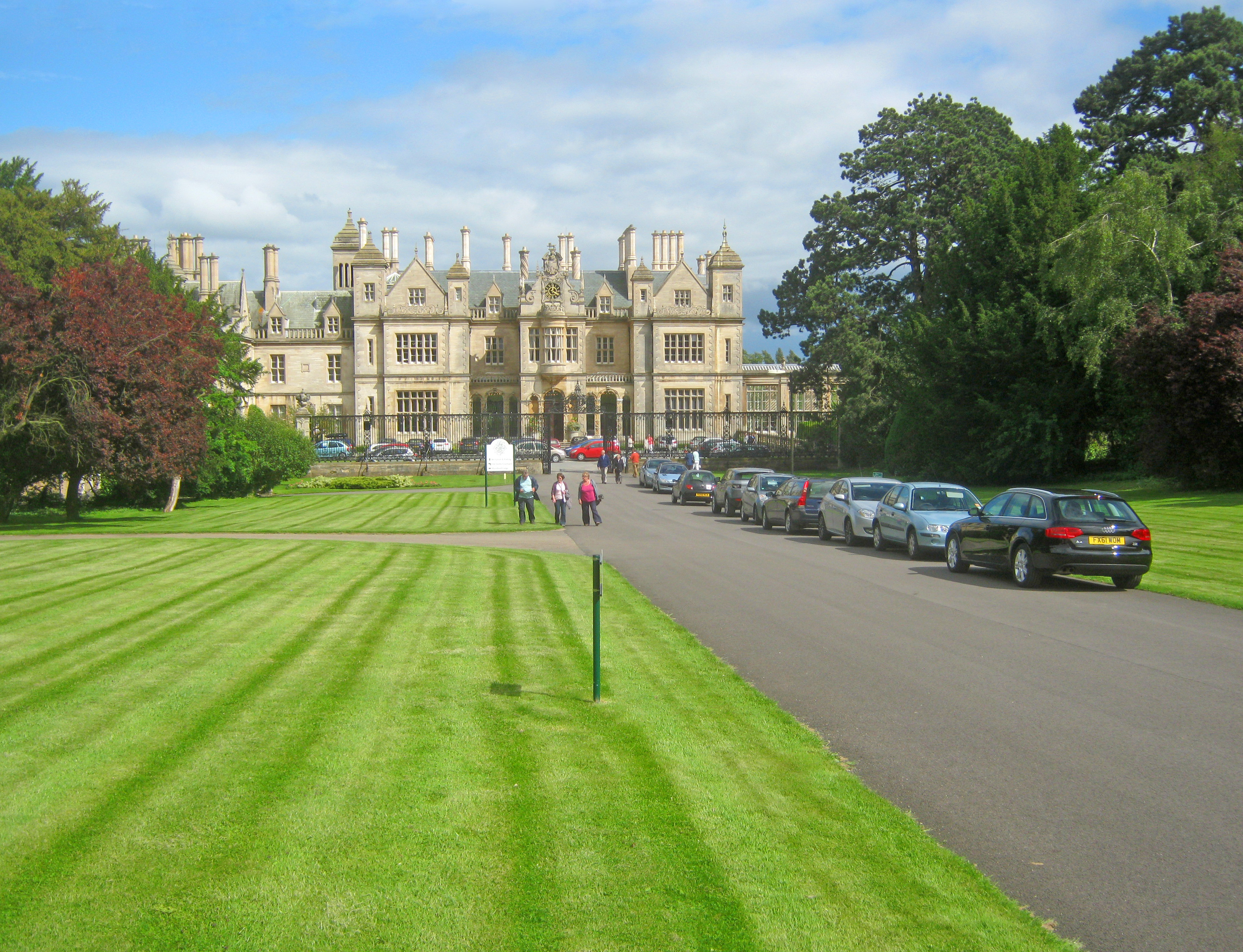
Stoke Rochford Hall
Stoke Rochford Hall is a large house built in scenic grounds, with a nearby golf course, next to the A1 in south Lincolnshire, England. The parkland and...

Grantham Rural District
Grantham was a rural district in Lincolnshire, Parts of Kesteven from 1894 to 1931. It was created by the Local Government Act 1894 based on the Grantham...

Little Ponton
Little Ponton is a village in the South Kesteven district of Lincolnshire, England. It lies 2 miles (3 km) south of Grantham, about 60 metres (200 ft)...
Nearby Amenities
Located within 500m of 52.860263,-0.62899Have you been to Great Ponton?
Leave your review of Great Ponton below (or comments, questions and feedback).