Great Mitton
Civil Parish in Yorkshire Ribble Valley
England
Great Mitton
Great Mitton is a civil parish located in the county of Yorkshire, England. It is situated in the Ribble Valley district, near the banks of the River Ribble. The parish covers an area of approximately 4.5 square kilometers and has a population of around 200 residents.
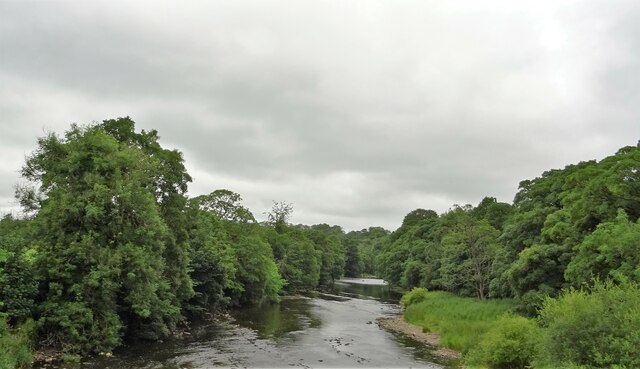
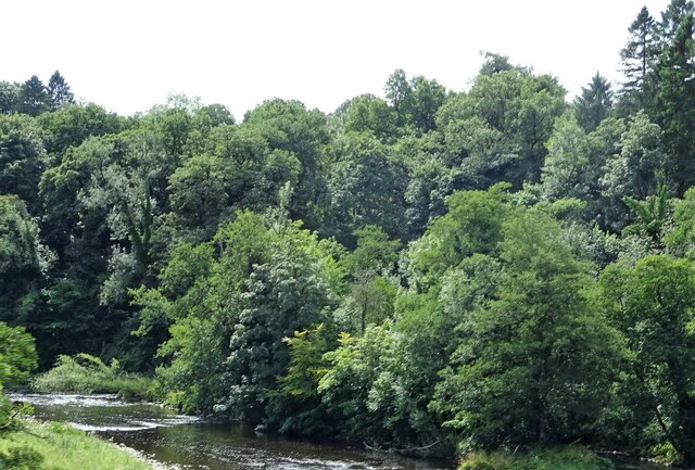
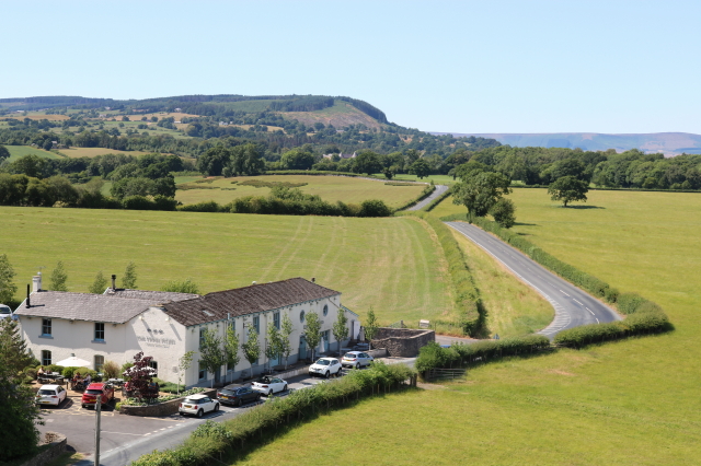
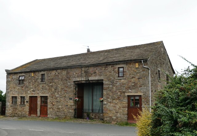
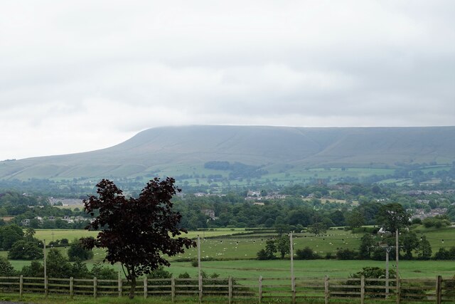
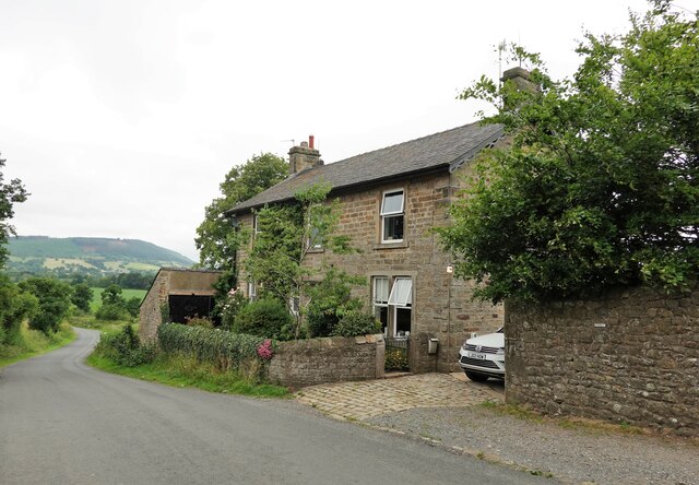
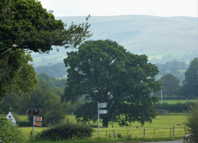
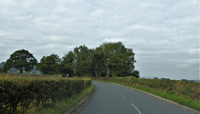
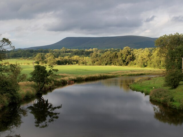
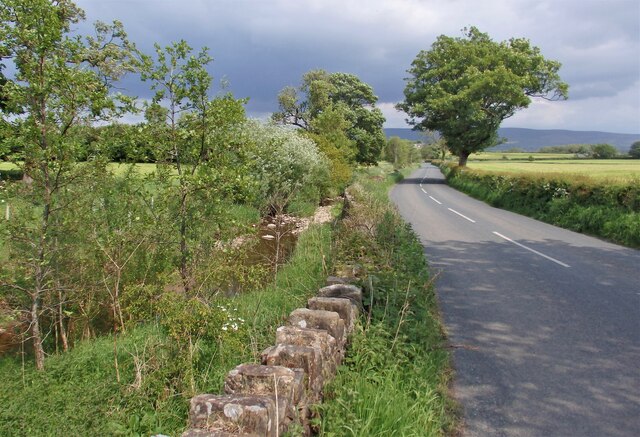
The village of Great Mitton is known for its picturesque and rural setting. It is surrounded by rolling countryside and offers stunning views of the nearby Pendle Hill. The area is rich in history and has several notable landmarks and heritage sites.
One of the most prominent attractions in Great Mitton is All Hallows Church, a Grade I listed building dating back to the 12th century. The church features a stunning Norman doorway and a medieval font, making it a popular destination for history enthusiasts and architecture lovers.
In addition to its historical significance, Great Mitton is also a popular destination for outdoor enthusiasts. The village is located near the Forest of Bowland, an Area of Outstanding Natural Beauty, which offers a variety of walking, hiking, and cycling trails.
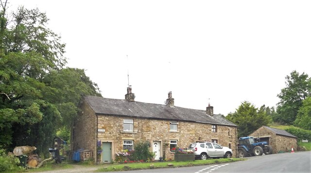
The community in Great Mitton is tight-knit, with a strong sense of local pride and heritage. The parish hosts several community events and activities throughout the year, including fairs and festivals that celebrate the area's culture and traditions.
Overall, Great Mitton is a charming and idyllic village, offering a peaceful retreat for residents and visitors alike. It combines natural beauty, historical landmarks, and a sense of community, making it a truly unique destination in Yorkshire.
If you have any feedback on the listing, please let us know in the comments section below.
Great Mitton Images
Images are sourced within 2km of 53.858575/-2.437615 or Grid Reference SD7140. Thanks to Geograph Open Source API. All images are credited.
Great Mitton is located at Grid Ref: SD7140 (Lat: 53.858575, Lng: -2.437615)
Division: West Riding
Administrative County: Lancashire
District: Ribble Valley
Police Authority: Lancashire
What 3 Words
///dented.headed.taxpayers. Near Clitheroe, Lancashire
Nearby Locations
Related Wikis

Pendleton Brook
Pendleton Brook is a small river in Lancashire. The brook rises on Pendleton Moor and flows through the village of Pendleton, travelling north west to...
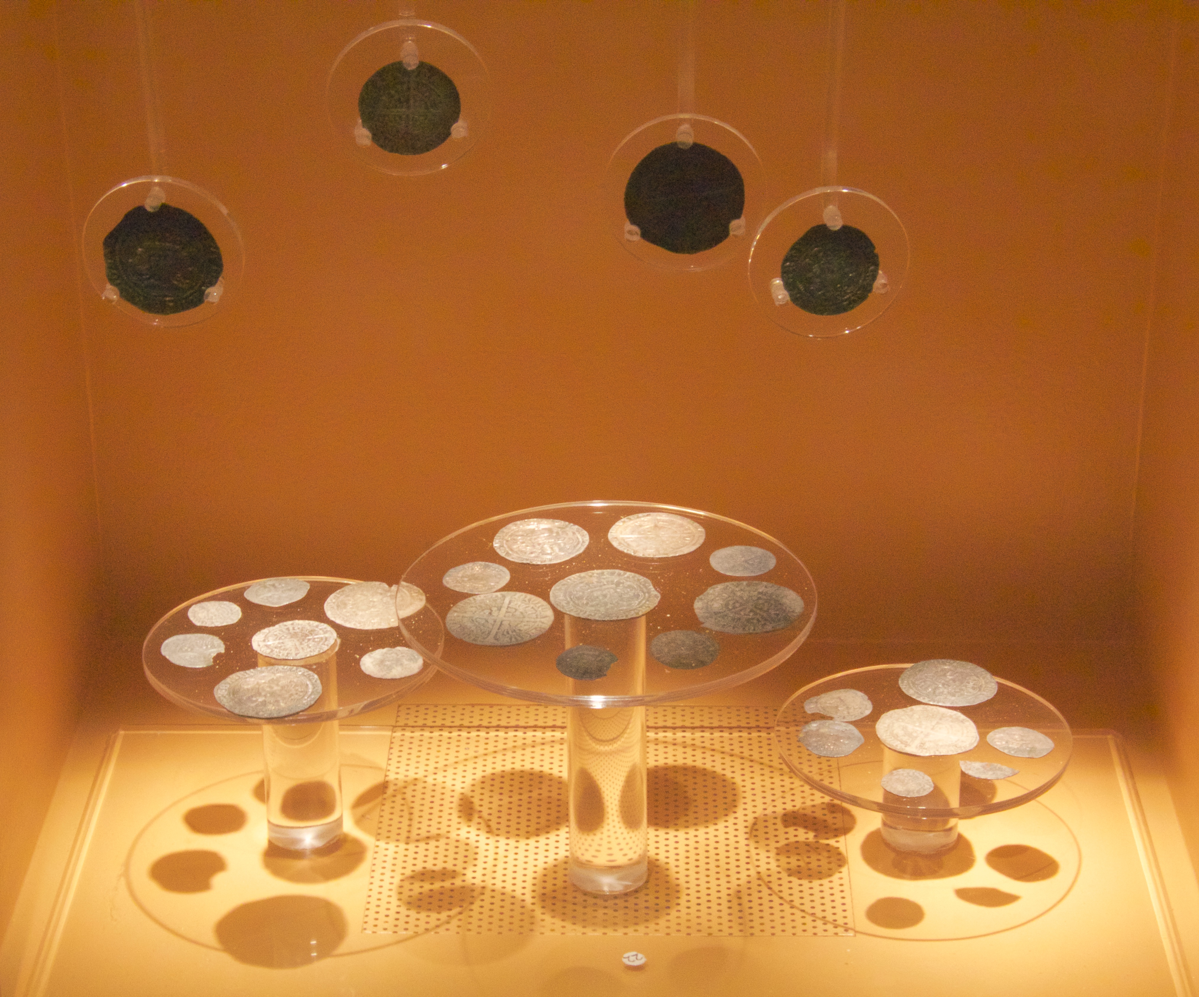
Mitton Hoard
The Mitton Hoard is a hoard of silver coins found near Clitheroe in Lancashire, England, in 2006 or 2009. The hoard is now in Clitheroe Castle Museum...
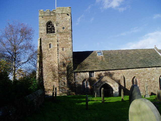
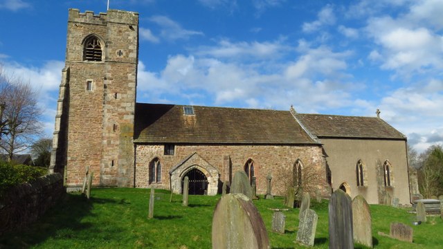
All Hallows Church, Great Mitton
All Hallows Church, Great Mitton, is in the village of Great Mitton, Lancashire, England. It is an active Anglican parish church in the deanery of Whalley...

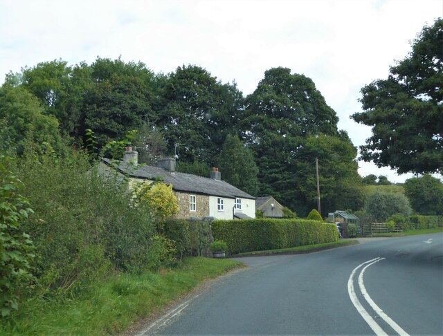
Great Mitton
Great Mitton is a village and a civil parish in the Ribble Valley, Lancashire, England. It is separated from the civil parish of Little Mitton by the River...

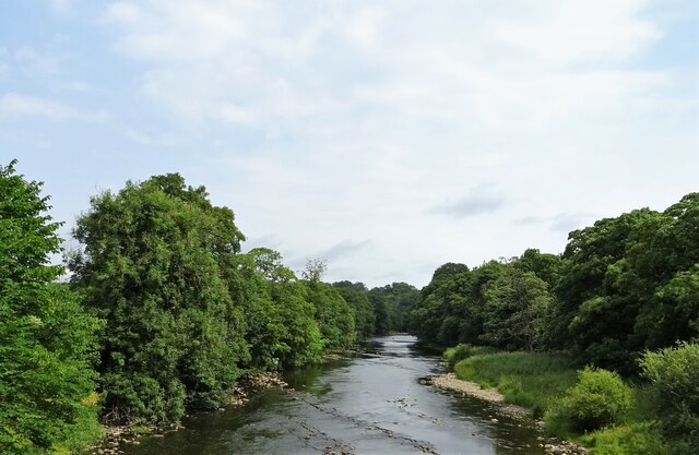
River Calder, Lancashire
The River Calder is a major tributary of the River Ribble in Lancashire, England, and is around 20 miles (32 km) in length. == Course == Starting in Cliviger...

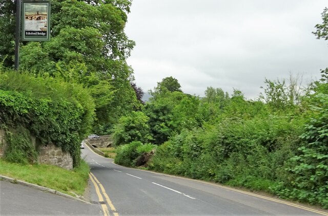
Edisford Bridge
Edisford Bridge (or Eadsford) is a toll-free, nine-span bridge over the River Ribble near Clitheroe, Lancashire, England. A Grade II listed structure and...

Little Mitton
Little Mitton is a civil parish in the Ribble Valley district, in the county of Lancashire, England. In 2001 the population of the civil parish of Little...

Bashall Brook
Bashall Brook is a minor river in Lancashire, England. It is 7.09 miles (11.41 km) long and has a catchment area of 6.86 square miles (1,777.68 ha).The...
Nearby Amenities
Located within 500m of 53.858575,-2.437615Have you been to Great Mitton?
Leave your review of Great Mitton below (or comments, questions and feedback).