Cock Meadow Plantation
Wood, Forest in Yorkshire Ribble Valley
England
Cock Meadow Plantation
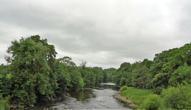
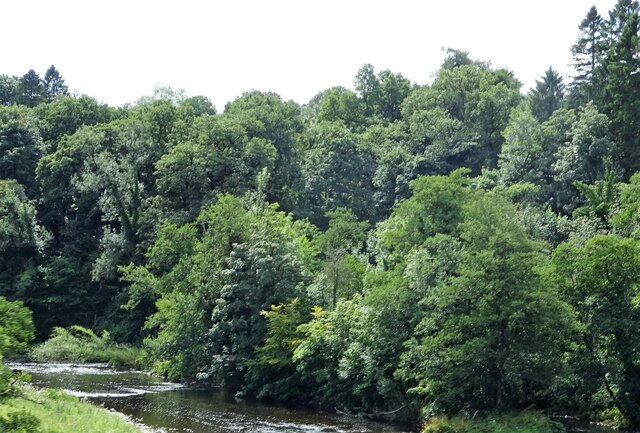
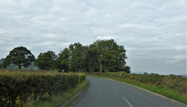
Cock Meadow Plantation is a captivating woodland area located in the picturesque county of Yorkshire, England. Spread over a vast expanse, the plantation is a true testament to the region's natural beauty and rich biodiversity.
Situated in close proximity to the charming village of Cock Meadow, the woodland covers an area of approximately 500 acres. The plantation primarily consists of native tree species such as oak, beech, and birch, creating a diverse and enchanting forest landscape. The dense canopy provides a haven for a wide range of flora and fauna, making it a popular destination for nature enthusiasts and wildlife lovers.
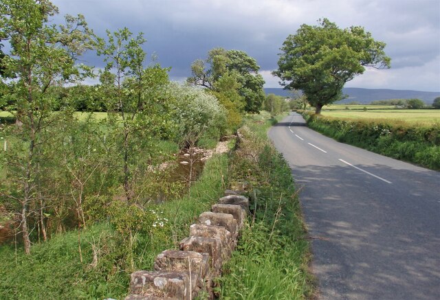
The woodland is crisscrossed by a network of well-maintained trails, allowing visitors to explore its various nooks and crannies. These trails offer opportunities for leisurely walks, jogging, and cycling, while providing a chance to observe the abundant wildlife that calls Cock Meadow Plantation home. Birdwatchers, in particular, will find delight in spotting various species such as woodpeckers, thrushes, and owls.
Cock Meadow Plantation is also known for its historical significance. The woodland has witnessed centuries of human activity, with evidence of ancient settlements and Bronze Age burial mounds discovered within its boundaries. It serves as a reminder of Yorkshire's rich cultural heritage and offers a glimpse into the lives of its past inhabitants.
Overall, Cock Meadow Plantation is a captivating woodland retreat, offering a serene escape from the hustle and bustle of modern life. Its natural beauty, diverse wildlife, and historical significance make it a must-visit destination for nature lovers and history enthusiasts alike.
If you have any feedback on the listing, please let us know in the comments section below.
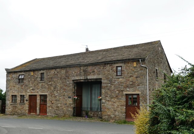
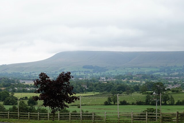
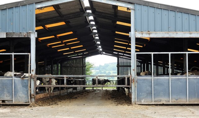
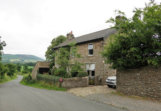
Cock Meadow Plantation Images
Images are sourced within 2km of 53.860285/-2.4367391 or Grid Reference SD7140. Thanks to Geograph Open Source API. All images are credited.
Cock Meadow Plantation is located at Grid Ref: SD7140 (Lat: 53.860285, Lng: -2.4367391)
Division: West Riding
Administrative County: Lancashire
District: Ribble Valley
Police Authority: Lancashire
What 3 Words
///panoramic.hills.minerals. Near Clitheroe, Lancashire
Nearby Locations
Related Wikis

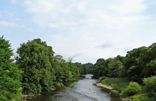
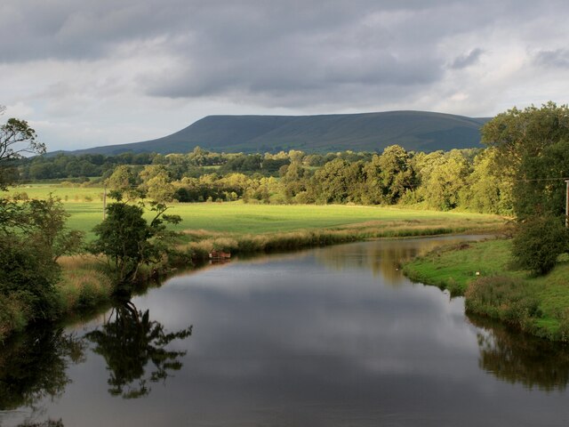
Pendleton Brook
Pendleton Brook is a small river in Lancashire. The brook rises on Pendleton Moor and flows through the village of Pendleton, travelling north west to...

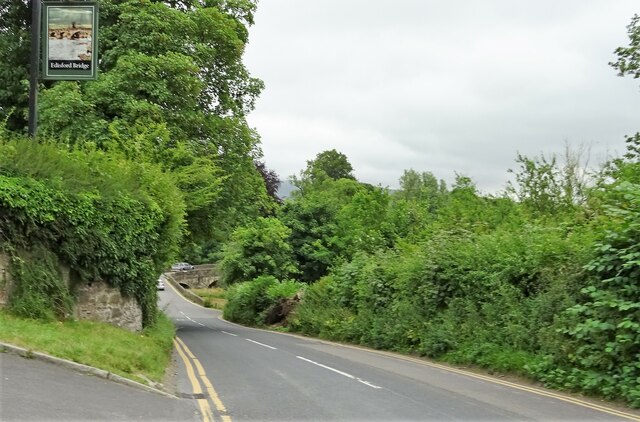
Edisford Bridge
Edisford Bridge (or Eadsford) is a toll-free, nine-span bridge over the River Ribble near Clitheroe, Lancashire, England. A Grade II listed structure and...
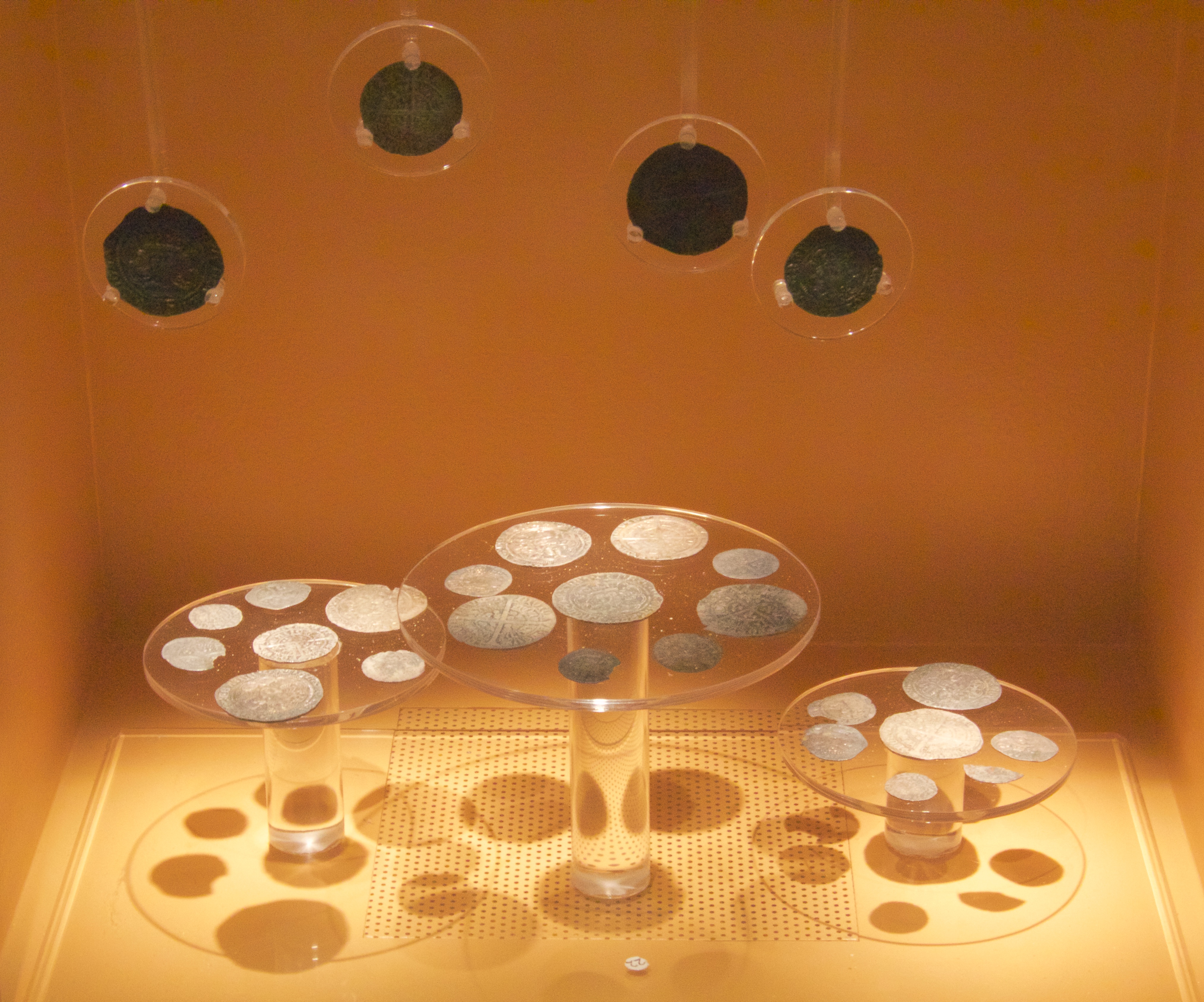
Mitton Hoard
The Mitton Hoard is a hoard of silver coins found near Clitheroe in Lancashire, England, in 2006 or 2009. The hoard is now in Clitheroe Castle Museum...
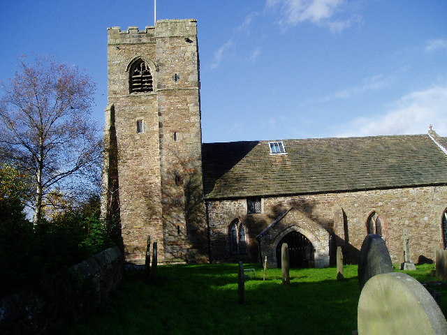
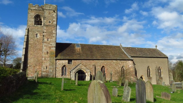
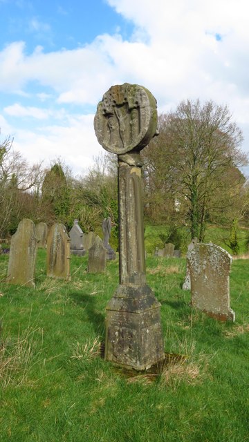
All Hallows Church, Great Mitton
All Hallows Church, Great Mitton, is in the village of Great Mitton, Lancashire, England. It is an active Anglican parish church in the deanery of Whalley...

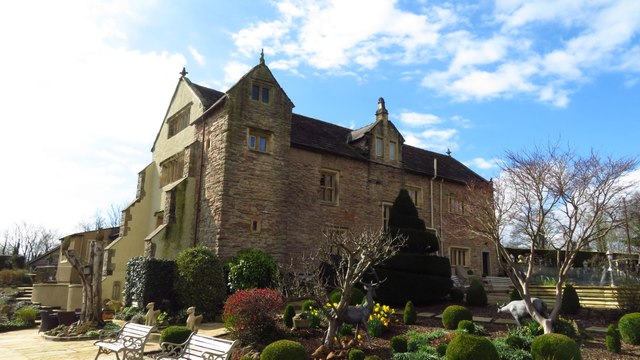
Great Mitton
Great Mitton is a village and a civil parish in the Ribble Valley, Lancashire, England. It is separated from the civil parish of Little Mitton by the River...

River Calder, Lancashire
The River Calder is a major tributary of the River Ribble in Lancashire, England, and is around 20 miles (32 km) in length. == Course == Starting in Cliviger...

Bashall Brook
Bashall Brook is a minor river in Lancashire, England. It is 7.09 miles (11.41 km) long and has a catchment area of 6.86 square miles (1,777.68 ha).The...

Limy Water
The Limy Water is a minor river in Lancashire, England. It is 4.95 miles (7.96 km) long and has a catchment area of 7.71 square miles (1,996.33 ha).The...
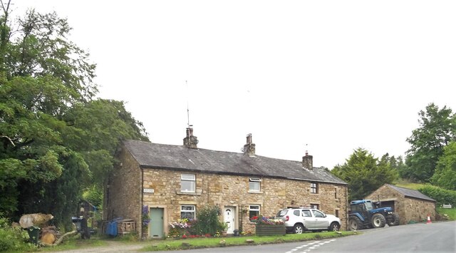
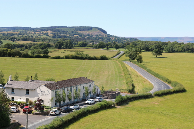
Nearby Amenities
Located within 500m of 53.860285,-2.4367391Have you been to Cock Meadow Plantation?
Leave your review of Cock Meadow Plantation below (or comments, questions and feedback).