Great Chesterford
Civil Parish in Essex Uttlesford
England
Great Chesterford
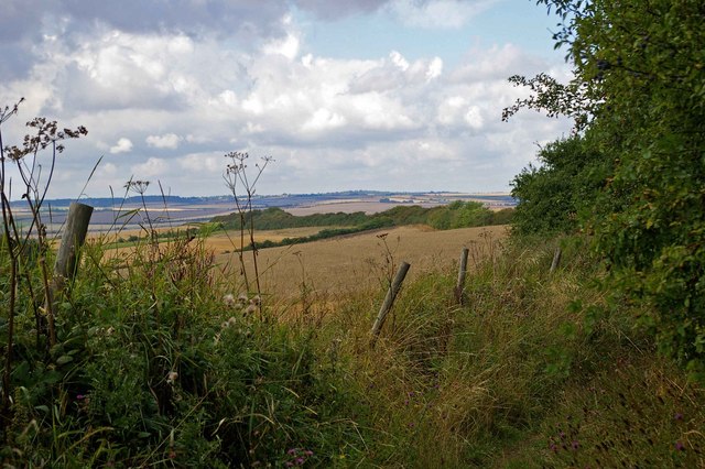
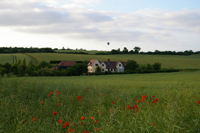
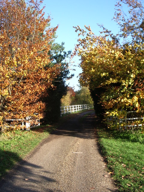
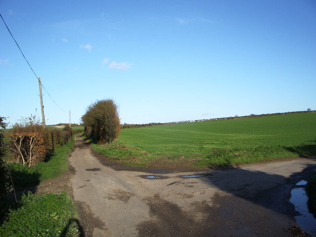
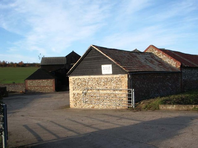
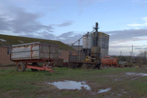
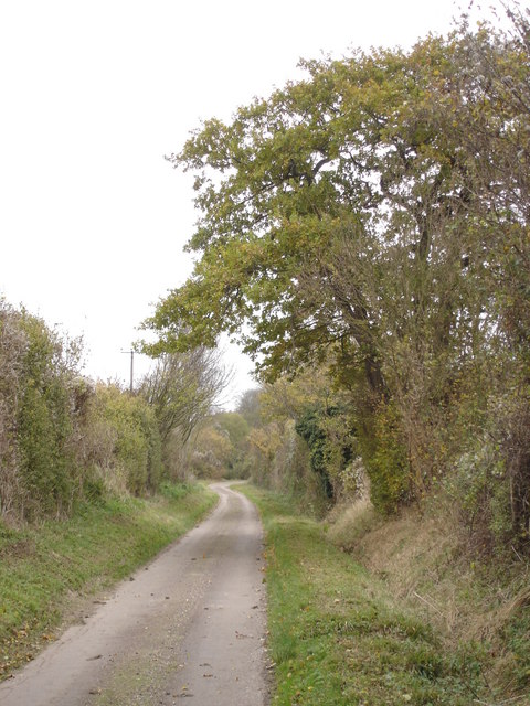
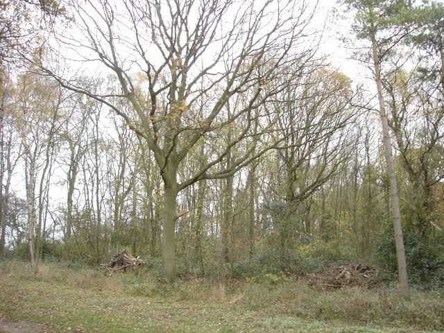
Great Chesterford is a civil parish located in the Uttlesford district of Essex, England. It is situated approximately 8 miles southeast of the town of Saffron Walden and 16 miles south of the city of Cambridge. The village is nestled in the picturesque countryside, surrounded by open fields and rolling hills.
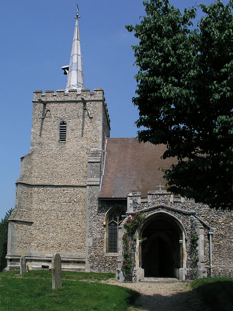
Great Chesterford has a rich history that dates back to Roman times. Archaeological evidence suggests that the area was once a Roman settlement, and remnants of a Roman road have been found nearby. The village grew in importance during the medieval period and was granted a market charter in the 13th century. Today, the village still retains much of its historic charm, with many timber-framed buildings and a sense of traditional English village life.
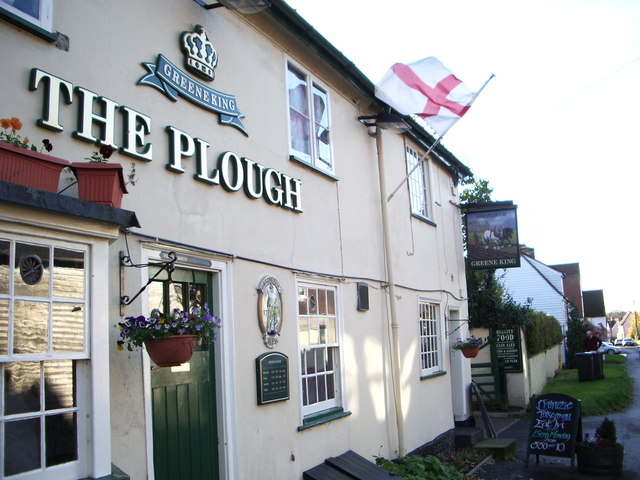
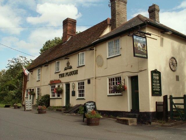
The parish has a population of around 1,200 people and offers a range of amenities to its residents. These include a primary school, a village hall, a post office, and a number of shops and pubs. The village is well-connected to surrounding areas by road, with the A11 and A1301 providing easy access to nearby towns and cities.
Great Chesterford is also home to Chesterford Research Park, a science and technology park that houses a number of research and development companies. This has brought employment opportunities to the area and has helped to create a thriving local economy.
Overall, Great Chesterford offers a peaceful and idyllic setting for its residents, with a strong sense of community and a rich history to explore.
If you have any feedback on the listing, please let us know in the comments section below.
Great Chesterford Images
Images are sourced within 2km of 52.074963/0.218083 or Grid Reference TL5244. Thanks to Geograph Open Source API. All images are credited.


Great Chesterford is located at Grid Ref: TL5244 (Lat: 52.074963, Lng: 0.218083)
Administrative County: Essex
District: Uttlesford
Police Authority: Essex
What 3 Words
///butter.threading.mushroom. Near Great Chesterford, Essex
Nearby Locations
Related Wikis

Great Chesterford
Great Chesterford is a village and civil parish in the Uttlesford district of Essex, England. The village is 13 miles (20 km) north from Bishop's Stortford...

Hildersham Wood
Hildersham Wood is a 7.7-hectare (19-acre) biological Site of Special Scientific Interest south of Hildersham in Cambridgeshire.The principal trees in...

Wellcome Sanger Institute
The Wellcome Sanger Institute, previously known as The Sanger Centre and Wellcome Trust Sanger Institute, is a non-profit British genomics and genetics...

Great Chesterford railway station
Great Chesterford railway station is on the West Anglia Main Line serving the village of Great Chesterford in Essex, England. It is 45 miles 56 chains...

Little Chesterford
Little Chesterford is a small village and civil parish in Uttlesford, Essex, in the East of England. Close to the Cambridgeshire border, it is built principally...

Wellcome Genome Campus
The Wellcome Genome Campus is a scientific research campus built in the grounds of Hinxton Hall, Hinxton in Cambridgeshire, England. == Campus == The Campus...

Hinxton
Hinxton is a village in South Cambridgeshire, England. The River Cam runs through the village, as does the Cambridge to Liverpool Street railway, though...
St Mary and St John Church, Hinxton
St Mary and St John Church is a Church of England parish church in the village of Hinxton in Cambridgeshire. It is a medieval flint and rubble church in...
Nearby Amenities
Located within 500m of 52.074963,0.218083Have you been to Great Chesterford?
Leave your review of Great Chesterford below (or comments, questions and feedback).