Great Chart with Singleton
Civil Parish in Kent Ashford
England
Great Chart with Singleton

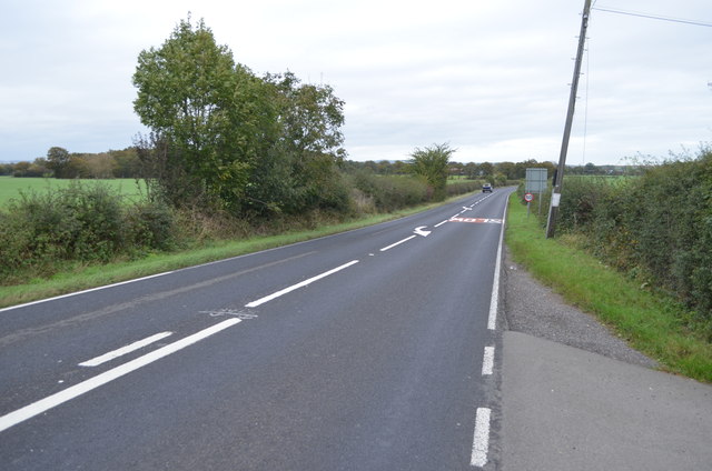
Great Chart with Singleton is a civil parish located in the county of Kent, England. It is situated approximately 2 miles southwest of the town of Ashford. The parish encompasses the villages of Great Chart and Singleton, as well as the surrounding countryside.
Great Chart with Singleton has a rich history, with evidence of human habitation dating back to the Neolithic period. The area was also inhabited by the Romans, as evidenced by the discovery of a Roman villa within the parish boundaries.
The village of Great Chart is known for its picturesque charm, featuring a mix of historic buildings and modern developments. The centerpiece of the village is the 13th-century St. Mary's Church, which showcases beautiful stained glass windows and an intricately carved wooden rood screen. The village also boasts a range of amenities, including a primary school, a village hall, and several shops and pubs.
Singleton, on the other hand, is a smaller village located to the north of Great Chart. It is known for its idyllic setting and rural character, with many old cottages and farmhouses dotting the landscape. The village is home to the Singleton Environment Centre, which promotes environmental awareness and offers educational programs for visitors of all ages.
Overall, Great Chart with Singleton offers a blend of history, natural beauty, and modern conveniences. It is a desirable place to live for those seeking a peaceful and picturesque countryside setting, while still being within easy reach of the amenities and transport links of Ashford.
If you have any feedback on the listing, please let us know in the comments section below.
Great Chart with Singleton Images
Images are sourced within 2km of 51.138457/0.819494 or Grid Reference TQ9741. Thanks to Geograph Open Source API. All images are credited.


Great Chart with Singleton is located at Grid Ref: TQ9741 (Lat: 51.138457, Lng: 0.819494)
Administrative County: Kent
District: Ashford
Police Authority: Kent
What 3 Words
///ballroom.town.revolting. Near Shadoxhurst, Kent
Nearby Locations
Related Wikis
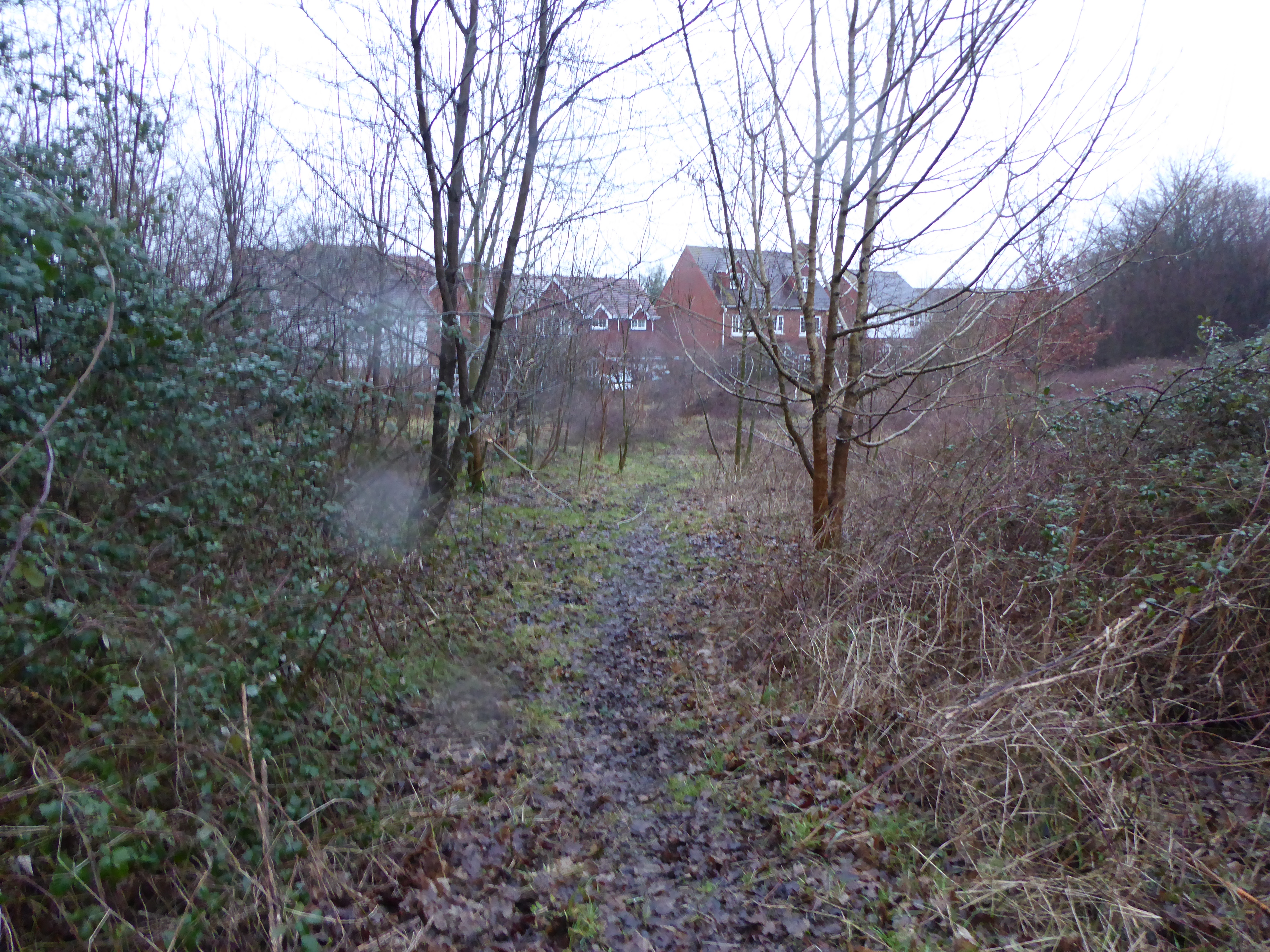
Ashford Community Woodland
Ashford Community Woodland is a 13.8-hectare (34-acre) Local Nature Reserve on the western outskirts of Ashford in Kent. It is owned and managed by Ashford...

Great Chart
Great Chart is a village and former civil parish, now in the parish of Great Chart with Singleton, in the Ashford borough of Kent, England. The parish...

Great Chart with Singleton
Great Chart with Singleton is a civil parish in the Ashford district of Kent, England. The parish population is mostly concentrated in the ancient village...
Singleton, Kent
Singleton is a suburb of Ashford in Kent, South East England, first developed in the 1980s. Although Singleton forms a contiguous urban area with the large...
Chilmington Green
Chilmington Green was a hamlet on the edge of the Kentish Weald comprising 10 listed buildings. It is south-west of the town of Ashford. The population...

RAF Ashford
Royal Air Force Ashford or more simply RAF Ashford is a former Royal Air Force Advanced Landing Ground in Kent, England. The landing ground is located...

Hoad's Wood
Hoad's Wood is an 80.5-hectare (199-acre) biological Site of Special Scientific Interest west of Ashford in Kent.Natural England described the woodland...
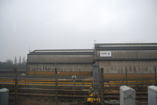
Chart Leacon TMD
Chart Leacon Traction and Rolling Stock Maintenance Depot was at one time a railway depot located in Ashford, Kent, England. The depot was situated 1.5...
Nearby Amenities
Located within 500m of 51.138457,0.819494Have you been to Great Chart with Singleton?
Leave your review of Great Chart with Singleton below (or comments, questions and feedback).