Great Burstead and South Green
Civil Parish in Essex Basildon
England
Great Burstead and South Green

Great Burstead and South Green is a civil parish located in the county of Essex, England. The parish is situated approximately 26 miles east of central London and is part of the Basildon district. It covers an area of about 5.5 square miles and has a population of around 8,000 residents.
Great Burstead and South Green is a predominantly residential area with a mix of housing styles, including modern developments and older properties. The parish is well-connected to nearby towns and cities, with easy access to the A127 and A12 highways, providing convenient links to London and other parts of Essex.
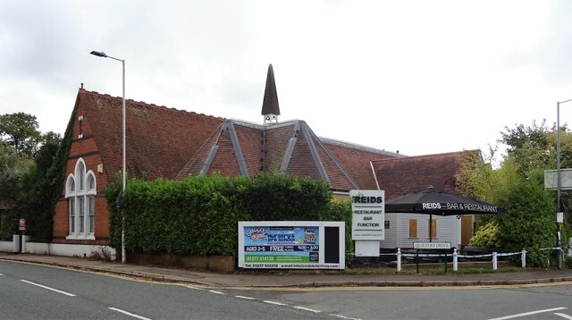
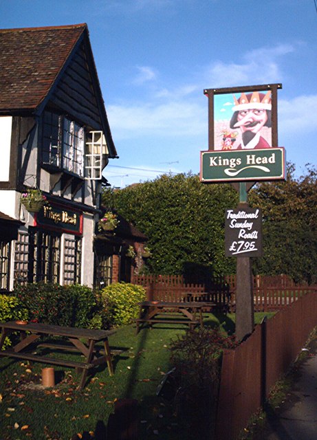
The area is known for its beautiful countryside, with several green spaces and parks, offering opportunities for outdoor activities and recreation. Great Burstead and South Green also benefits from a range of amenities, including shops, pubs, and restaurants, providing residents with convenient access to everyday necessities.
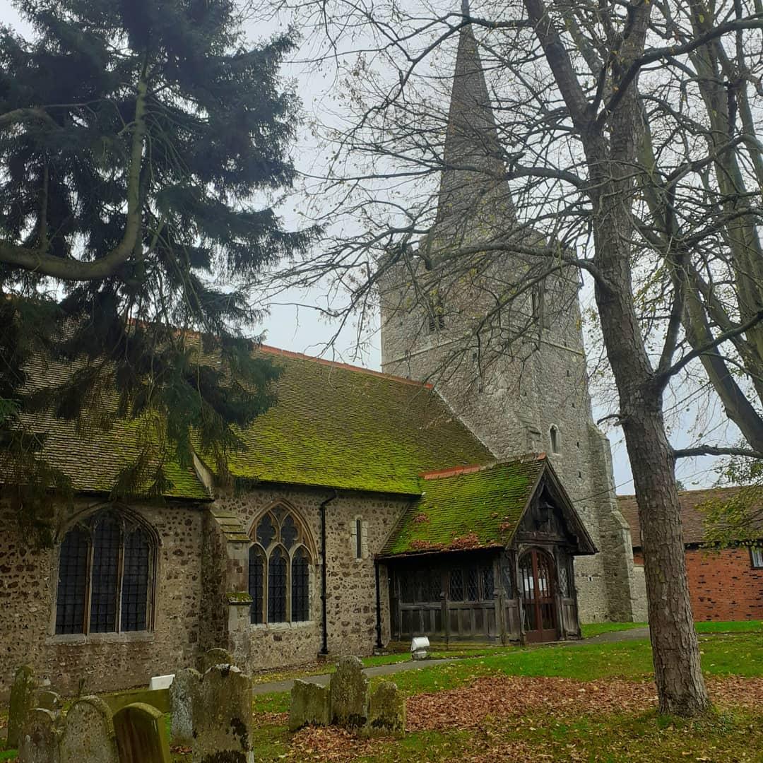
The parish is home to St. Mary Magdalen Church, a historic building dating back to the 13th century. The church is a significant architectural landmark and serves as a place of worship and community gatherings.
Great Burstead and South Green have a strong sense of community, with various local events and activities organized throughout the year. The parish has a primary school, providing education for children in the area.
Overall, Great Burstead and South Green offers a peaceful and pleasant living environment, combining the charm of the countryside with the convenience of nearby urban centers.
If you have any feedback on the listing, please let us know in the comments section below.
Great Burstead and South Green Images
Images are sourced within 2km of 51.608391/0.438907 or Grid Reference TQ6892. Thanks to Geograph Open Source API. All images are credited.


Great Burstead and South Green is located at Grid Ref: TQ6892 (Lat: 51.608391, Lng: 0.438907)
Administrative County: Essex
District: Basildon
Police Authority: Essex
What 3 Words
///lied.games.lately. Near Billericay, Essex
Nearby Locations
Related Wikis

Burstead Grange
Burstead Grange was a priory in Essex, England. == References ==
Great Burstead
Great Burstead is an urban settlement and former civil parish, now in the parish of Great Burstead and South Green, in the Basildon district, in Essex...

Barleylands Farm Museum
Barleylands Farm Park and Craft Village is located in Barleylands, Billericay, Essex. It has a wide range of farm animals, indoor play, outdoor play, tractor...

Basildon and Billericay (UK Parliament constituency)
Basildon and Billericay () is a constituency in Essex represented in the House of Commons of the UK Parliament. Since its 2010 creation it has been represented...
Great Burstead and South Green
Great Burstead and South Green is a civil parish in the Basildon district, in the county of Essex, England. The parish includes the settlements of Great...
St Mary Magdalene, Great Burstead
St Mary Magdalene is a Grade I-listed parish church in the village of Great Burstead, about 1.5 mi (2.4 km) south of Billericay, Essex, England. The present...
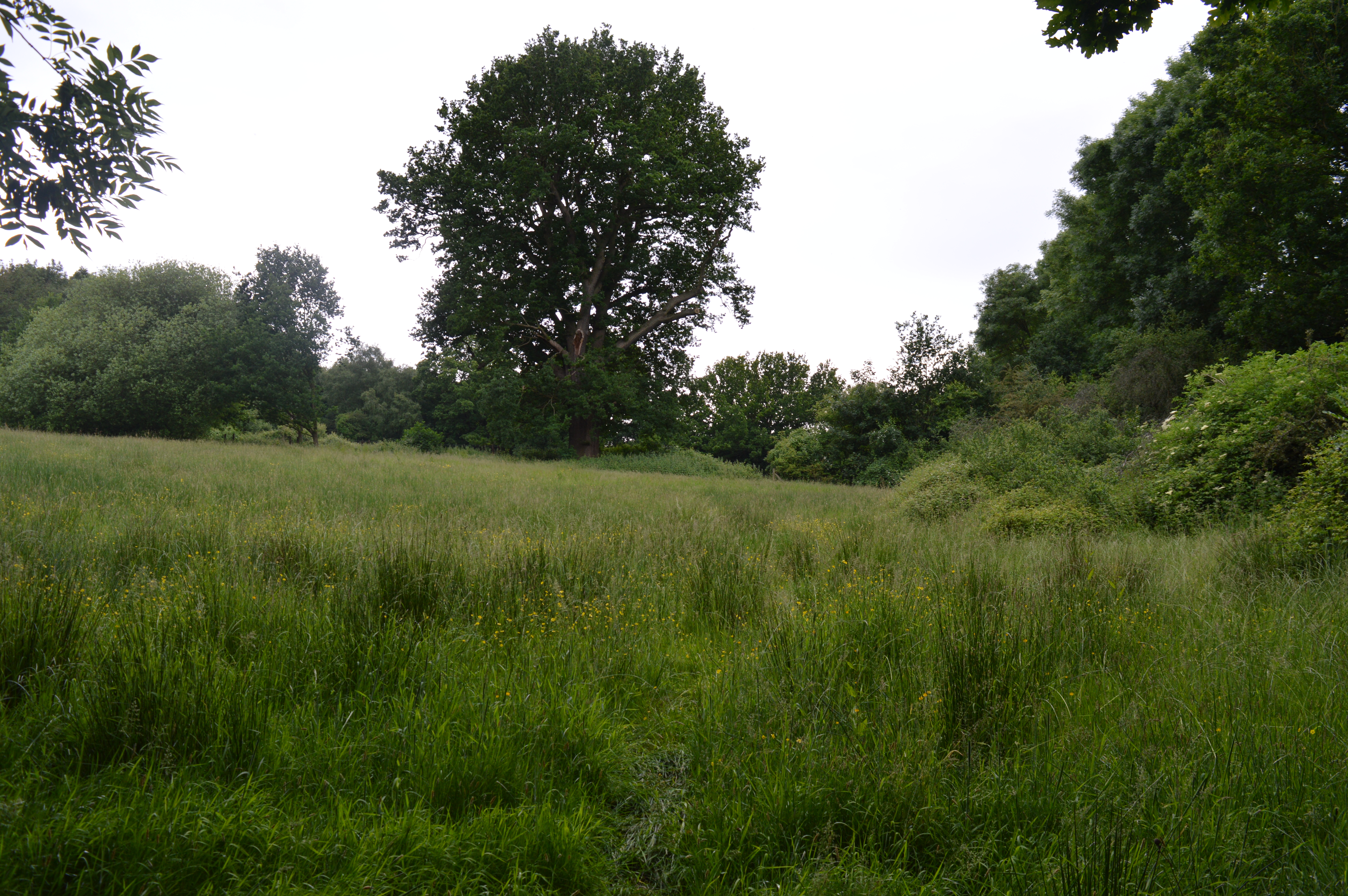
Mill Meadows, Billericay
Mill Meadows, Billericay is a 6.7-hectare (17-acre) biological Site of Special Scientific Interest (SSSI) in Billericay in Essex, England. It is part of...
The Billericay School
The Billericay School is an academy secondary school and sixth form college located in Billericay, England. The school is led by headmaster Patrick Berry...
Nearby Amenities
Located within 500m of 51.608391,0.438907Have you been to Great Burstead and South Green?
Leave your review of Great Burstead and South Green below (or comments, questions and feedback).