Great Billington
Civil Parish in Bedfordshire
England
Great Billington
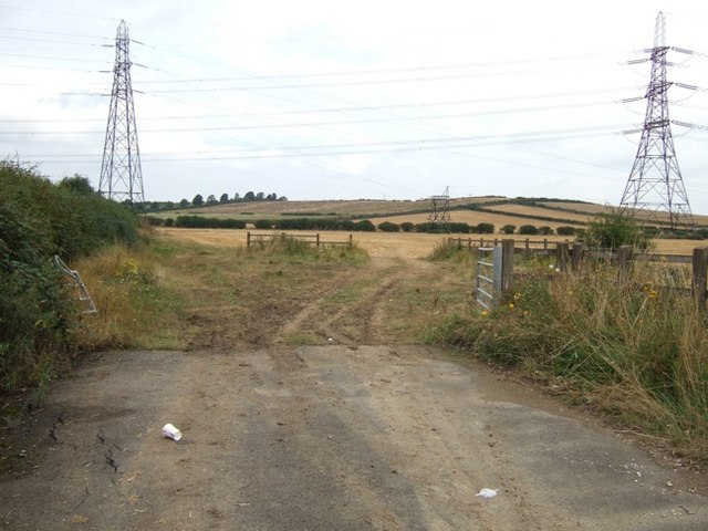
Great Billington is a civil parish located in the county of Bedfordshire, England. Situated approximately 3 miles south of Leighton Buzzard, it covers an area of around 3 square miles. The parish is primarily rural, characterized by rolling countryside and farmland.
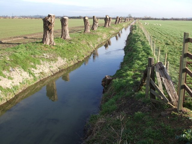
The village of Great Billington itself is small and consists of a few scattered houses and farmsteads. It is surrounded by picturesque landscapes, including woodlands, meadows, and hedgerows, which provide habitat for a variety of wildlife. The River Ouzel flows through the parish, adding to its natural beauty.
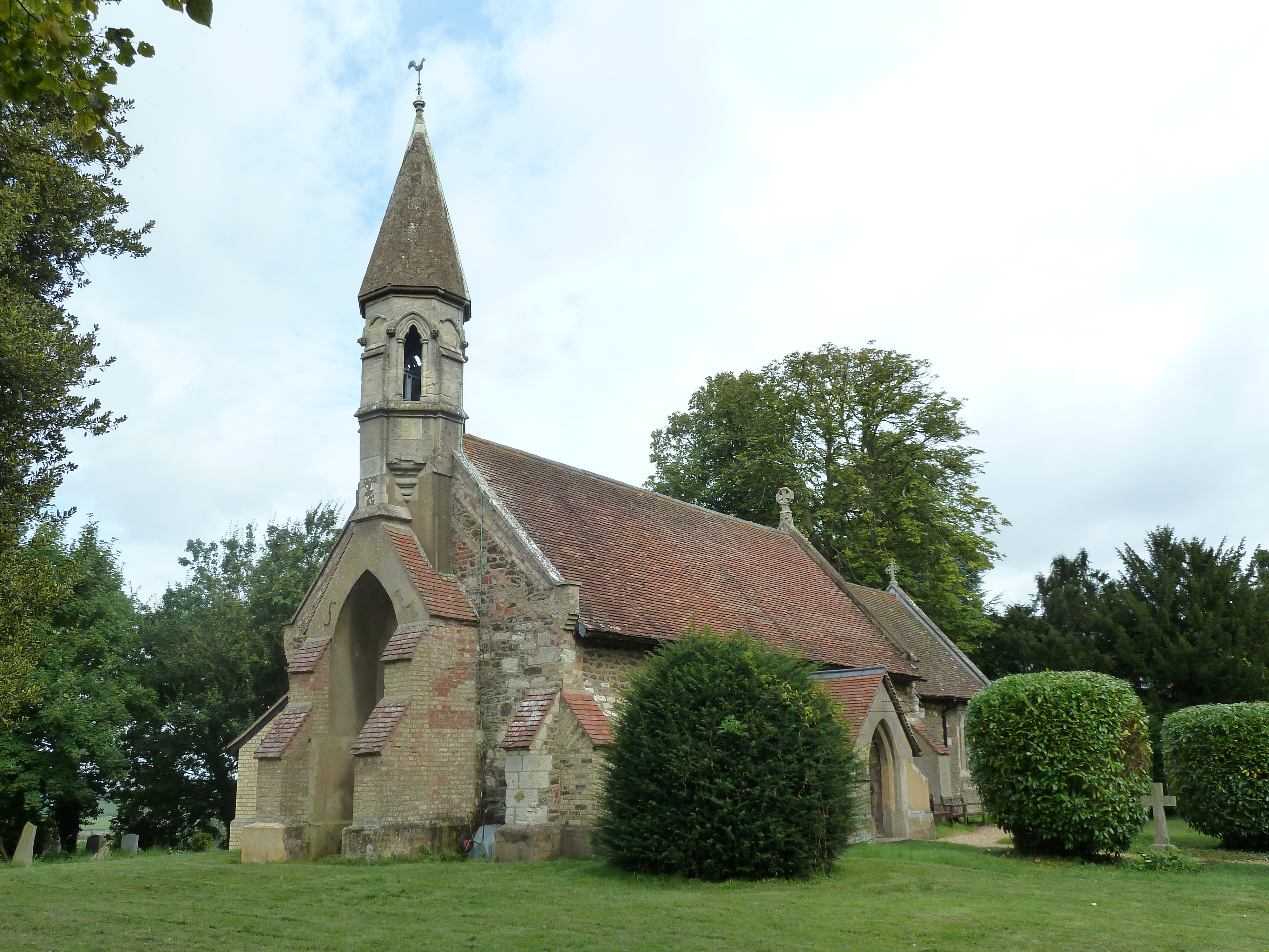
Historically, Great Billington has been inhabited since ancient times, with evidence of settlement dating back to the Iron Age. The area has seen various influences over the centuries, including Roman and Anglo-Saxon occupation. The parish is also home to the Great Billington Manor, a Grade II listed building that has stood since the 17th century.
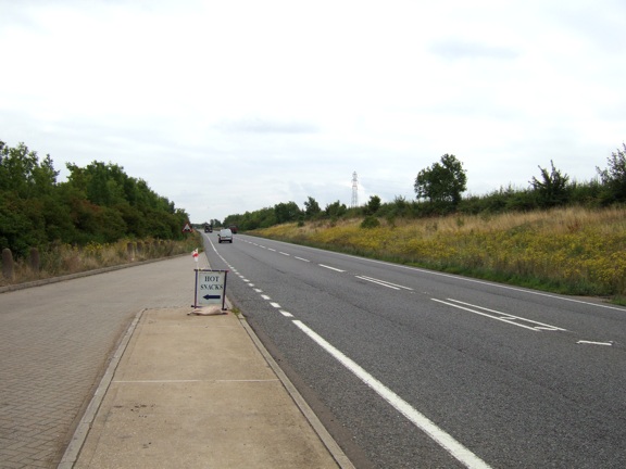
Although Great Billington is predominantly rural, it benefits from its proximity to Leighton Buzzard, where residents have access to amenities such as shops, schools, and healthcare services. The parish is well-connected by road, with the A505 running through its northern boundary, providing easy access to nearby towns and cities.
Great Billington offers a peaceful and idyllic setting, making it a desirable location for those seeking a rural lifestyle within easy reach of urban amenities. Its natural beauty, historical significance, and convenient location contribute to its appeal as a place to live and visit.
If you have any feedback on the listing, please let us know in the comments section below.
Great Billington Images
Images are sourced within 2km of 51.893156/-0.637157 or Grid Reference SP9322. Thanks to Geograph Open Source API. All images are credited.


Great Billington is located at Grid Ref: SP9322 (Lat: 51.893156, Lng: -0.637157)
Unitary Authority: Central Bedfordshire
Police Authority: Bedfordshire
What 3 Words
///cones.statue.soft. Near Leighton Buzzard, Bedfordshire
Nearby Locations
Related Wikis
Billington, Bedfordshire
Billington is a civil parish in Bedfordshire about 3 miles (4.8 km) south of Leighton Buzzard and not far from the Buckinghamshire border. There are two...
River Ouzel
The River Ouzel , also known as the River Lovat, is a river in England, and a tributary of the River Great Ouse. It rises in the Chiltern Hills and flows...

Slapton, Buckinghamshire
Slapton is a village and also a civil parish within Aylesbury Vale district in Buckinghamshire, England. It is located between the Grand Union Canal and...

Grove, Buckinghamshire
Grove is a village and former civil parish, now in the parish of Slapton, Buckinghamshire, England. It is on the border with Bedfordshire, just to the...

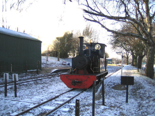
Page's Park railway station
Page's Park railway station is a railway station serving the southern area of Leighton Buzzard. Page's Park is the terminus of the heritage Leighton Buzzard...

Grovebury Priory
Grovebury Priory, also known as La Grave or Grava was a priory in Leighton Buzzard, Bedfordshire, England. It was established in 1164 and disestablished...
RAF Stanbridge
RAF Stanbridge (originally RAF Leighton Buzzard) was a non-flying RAF station situated on the outskirts of Leighton Buzzard, Bedfordshire, England and...

Leighton Buzzard Light Railway
The Leighton Buzzard Light Railway (LBLR) is a light railway in Leighton Buzzard in Bedfordshire, England. It operates on 2 ft (610 mm) narrow-gauge track...
Nearby Amenities
Located within 500m of 51.893156,-0.637157Have you been to Great Billington?
Leave your review of Great Billington below (or comments, questions and feedback).