Billington, Little
Settlement in Bedfordshire
England
Billington, Little

Billington is a small village located in the county of Bedfordshire, England. Situated near the town of Leighton Buzzard, it lies approximately 42 miles northwest of London. With a population of around 1,500 residents, it is a close-knit community offering a peaceful and rural lifestyle.
The village is known for its picturesque setting, nestled amidst the rolling hills of the Chiltern Hills Area of Outstanding Natural Beauty. The landscape is characterized by lush green fields, charming woodlands, and scenic walking trails, making it a haven for nature enthusiasts and hikers.
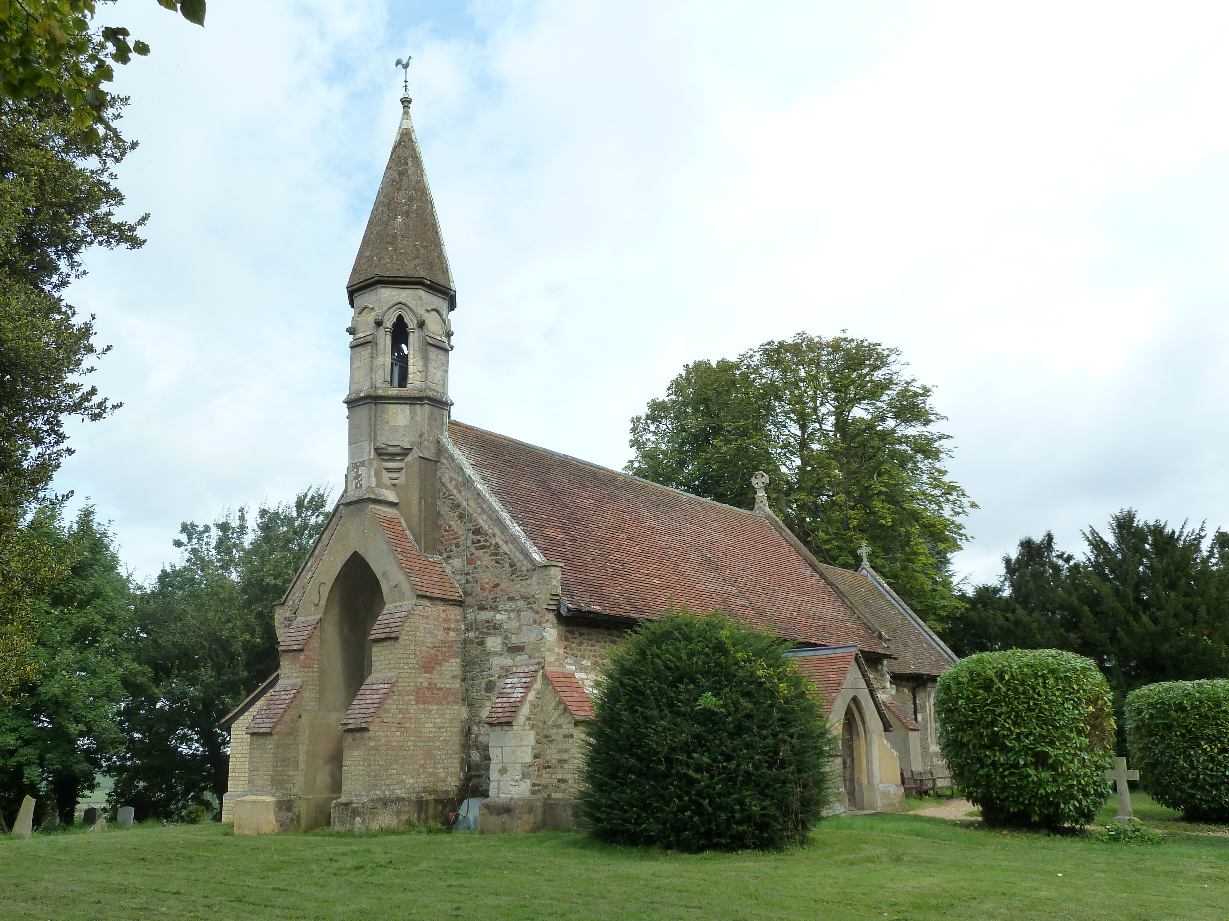
Billington has a rich history, with evidence of human settlement dating back to the Roman period. The village features several historic buildings, including the Grade II listed All Saints Church, which dates back to the 12th century and showcases beautiful Norman architecture.
Amenities in Billington include a local pub, The Green Man, which serves as a popular meeting place for residents and visitors alike. The village also has a primary school, providing education for local children.
While Billington offers a tranquil and rural atmosphere, it benefits from its proximity to Leighton Buzzard, which provides a wider range of amenities, including shops, supermarkets, restaurants, and leisure facilities. The village is well-connected to nearby towns and cities via road and rail links, with the M1 motorway and Leighton Buzzard railway station both easily accessible.
Overall, Billington is a charming and idyllic village, offering a peaceful retreat from the hustle and bustle of city life while still providing access to essential amenities and nearby urban centers.
If you have any feedback on the listing, please let us know in the comments section below.
Billington, Little Images
Images are sourced within 2km of 51.893059/-0.640488 or Grid Reference SP9322. Thanks to Geograph Open Source API. All images are credited.


Billington, Little is located at Grid Ref: SP9322 (Lat: 51.893059, Lng: -0.640488)
Unitary Authority: Central Bedfordshire
Police Authority: Bedfordshire
What 3 Words
///broke.scuba.adding. Near Leighton Buzzard, Bedfordshire
Nearby Locations
Related Wikis
Billington, Bedfordshire
Billington is a civil parish in Bedfordshire about 3 miles (4.8 km) south of Leighton Buzzard and not far from the Buckinghamshire border. There are two...
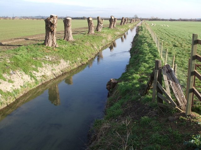
River Ouzel
The River Ouzel , also known as the River Lovat, is a river in England, and a tributary of the River Great Ouse. It rises in the Chiltern Hills and flows...

Grove, Buckinghamshire
Grove is a village and former civil parish, now in the parish of Slapton, Buckinghamshire, England. It is on the border with Bedfordshire, just to the...

Slapton, Buckinghamshire
Slapton is a village and also a civil parish within Aylesbury Vale district in Buckinghamshire, England. It is located between the Grand Union Canal and...

Grovebury Priory
Grovebury Priory, also known as La Grave or Grava was a priory in Leighton Buzzard, Bedfordshire, England. It was established in 1164 and disestablished...

Page's Park railway station
Page's Park railway station is a railway station serving the southern area of Leighton Buzzard. Page's Park is the terminus of the heritage Leighton Buzzard...

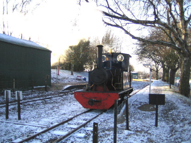
Leighton Buzzard Light Railway
The Leighton Buzzard Light Railway (LBLR) is a light railway in Leighton Buzzard in Bedfordshire, England. It operates on 2 ft (610 mm) narrow-gauge track...
RAF Stanbridge
RAF Stanbridge (originally RAF Leighton Buzzard) was a non-flying RAF station situated on the outskirts of Leighton Buzzard, Bedfordshire, England and...
Nearby Amenities
Located within 500m of 51.893059,-0.640488Have you been to Billington, Little?
Leave your review of Billington, Little below (or comments, questions and feedback).