Grafton Flyford
Civil Parish in Worcestershire Wychavon
England
Grafton Flyford
The requested URL returned error: 429 Too Many Requests
If you have any feedback on the listing, please let us know in the comments section below.
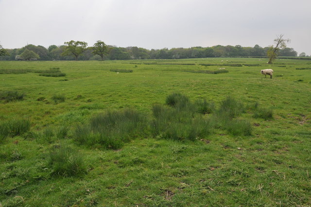
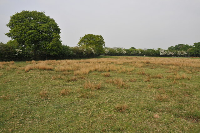
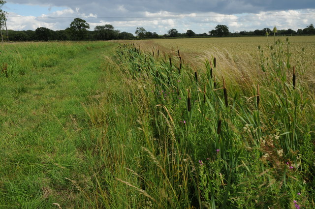
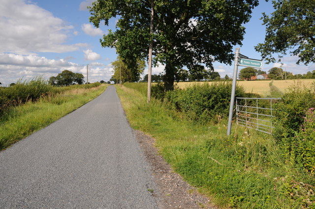
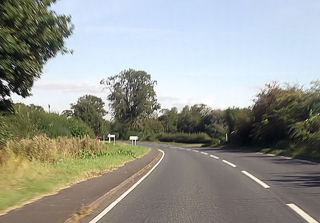
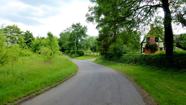
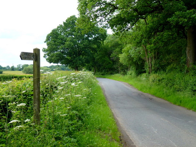
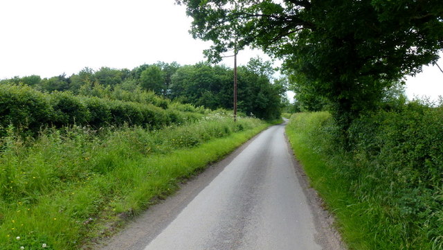
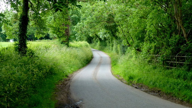
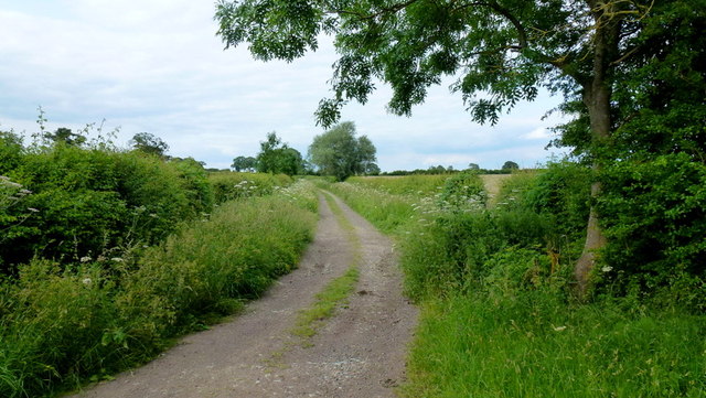
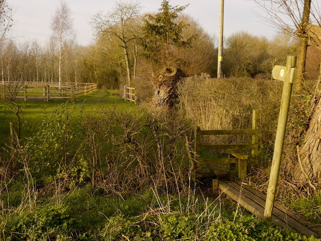
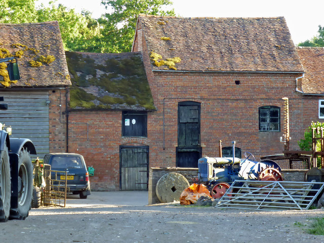
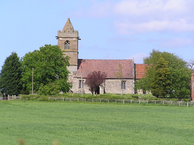
Grafton Flyford Images
Images are sourced within 2km of 52.204904/-2.057711 or Grid Reference SO9656. Thanks to Geograph Open Source API. All images are credited.


Grafton Flyford is located at Grid Ref: SO9656 (Lat: 52.204904, Lng: -2.057711)
Administrative County: Worcestershire
District: Wychavon
Police Authority: West Mercia
What 3 Words
///quilt.physical.recoup. Near Kington, Worcestershire
Nearby Locations
Related Wikis

North Piddle
North Piddle is a small civil parish in the Wychavon district of Worcestershire, England. It is located within a loop of Piddle Brook. North Piddle is...

Grafton Flyford
Grafton Flyford is a village about 6 miles (9.7 km) east of Worcester, in Worcestershire, England. It neighbours Stock Green, with the large farm house...

Grafton Wood
Grafton Wood is a nature reserve near the village of Grafton Flyford, about 6 miles (9.7 km) east of Worcester, in Worcestershire, England. == Description... ==

Huddington
Huddington is a village in Worcestershire, England. == Location == Huddington is located 5 miles (8.0 km) east of Worcester and 5 miles (8.0 km) south...
Nearby Amenities
Located within 500m of 52.204904,-2.057711Have you been to Grafton Flyford?
Leave your review of Grafton Flyford below (or comments, questions and feedback).