Grafton Flyford

Settlement in Worcestershire Wychavon

England

Grafton Flyford
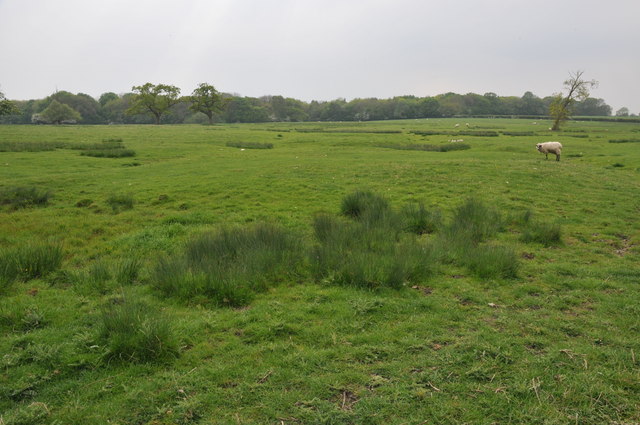
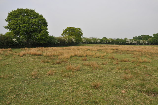
Farmland beside Grafton Wood On the far side of this field the Wychavon Way passes beside the Grafton Wood.
Farmland beside Grafton Wood Credit: Philip Halling

The requested URL returned error: 429 Too Many Requests

If you have any feedback on the listing, please let us know in the comments section below.

Grafton Flyford Images

Images are sourced within 2km of 52.206909/-2.058182 or Grid Reference SO9656. Thanks to Geograph Open Source API. All images are credited.
Farmland beside Grafton Wood On the far side of this field the Wychavon Way passes beside the Grafton Wood.
Farmland beside Grafton Wood
On the far side of this field the Wychavon Way passes beside the Grafton Wood.
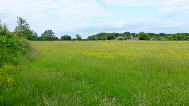
Farmland near Stock Green At present this field is dry however the reeds suggest this field normally lies wet.
Farmland near Stock Green
At present this field is dry however the reeds suggest this field normally lies wet.
Bridleway to Upper Kite's Wood This bridleway passes Upper Kite's Wood and joins the Wychavon Way.
Bridleway to Upper Kite's Wood
This bridleway passes Upper Kite's Wood and joins the Wychavon Way.
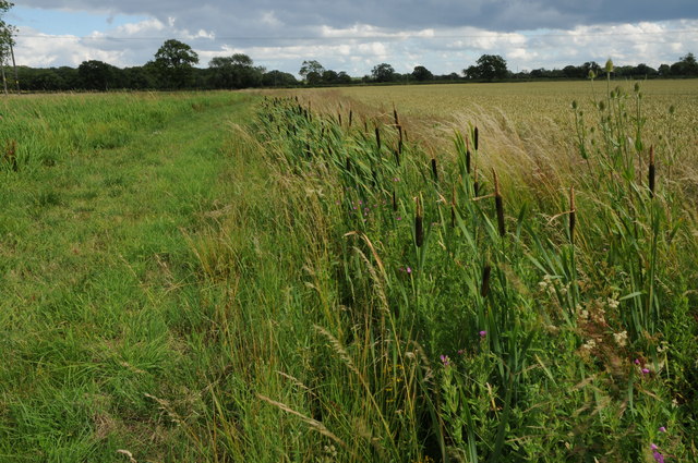
Bulrushes beside the Wychavon Way Bulrushes growing in a drainage channel beside a footpath which is marked on the OS map as the Wychavon Way though I believe it may have since been rerouted.
Bulrushes beside the Wychavon Way
Bulrushes growing in a drainage channel beside a footpath which is marked on the OS map as the Wychavon Way though I believe it may have since been rerouted.
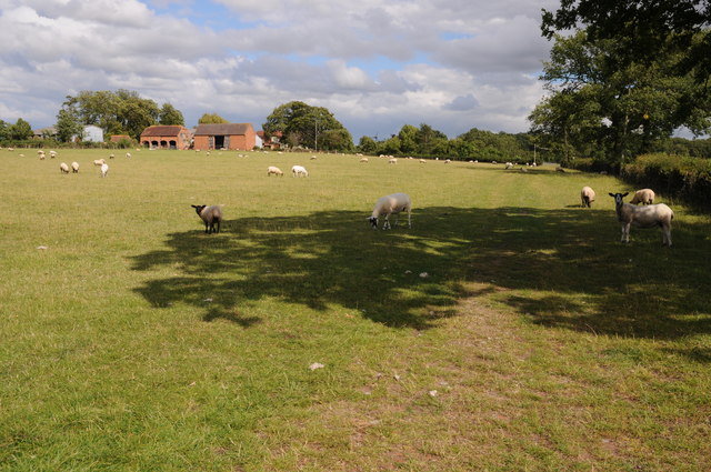
Sheep and Hill Top Farm Sheep in a field with Hill Top Farm in the background.
Sheep and Hill Top Farm
Sheep in a field with Hill Top Farm in the background.
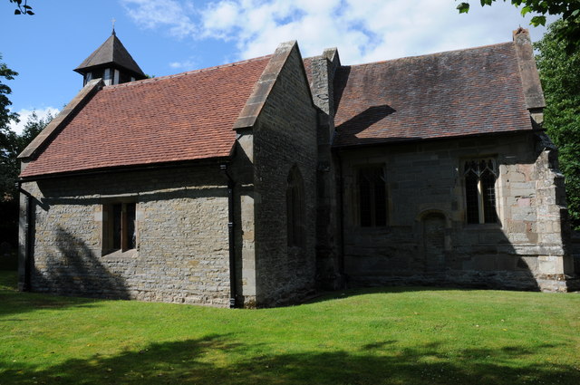
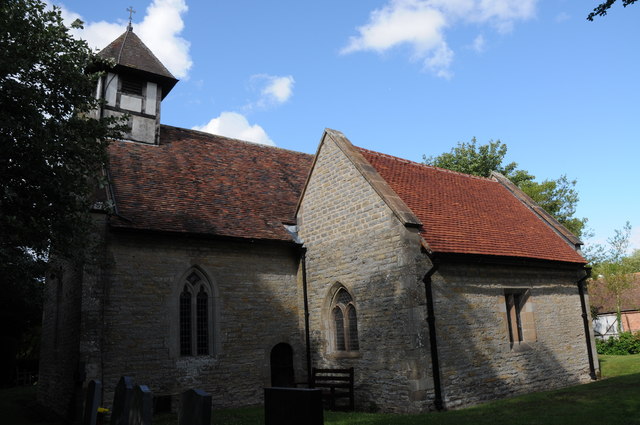
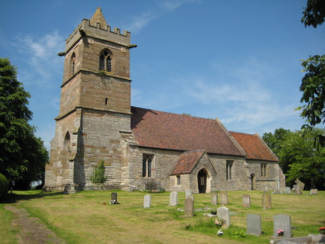
Huddington church Huddington church is dedicated to St James and it is situated close to Huddington Court, so close in fact that to access it one has to cross the lawn of the court.  The nave of church dates back to the Norman period.
Huddington church
Huddington church is dedicated to St James and it is situated close to Huddington Court, so close in fact that to access it one has to cross the lawn of the court. The nave of church dates back to the Norman period.
Footpath to Hill Top Farm Two footpaths cross farmland to the right one of which leads to Hill Top Farm.
Footpath to Hill Top Farm
Two footpaths cross farmland to the right one of which leads to Hill Top Farm.
Junction for Grafton Flyford From A422
Junction for Grafton Flyford
From A422
North Piddle junction from A422
Junction for Flyford Flavell
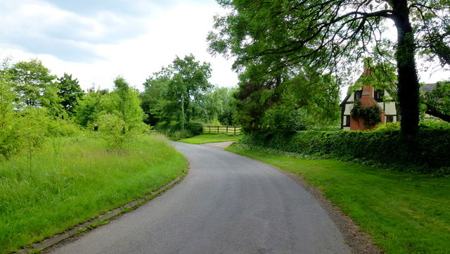
Lane to Grafton Flyford The cottage appears to keep an eye on the passing traffic, such as it is.
Lane to Grafton Flyford
The cottage appears to keep an eye on the passing traffic, such as it is.
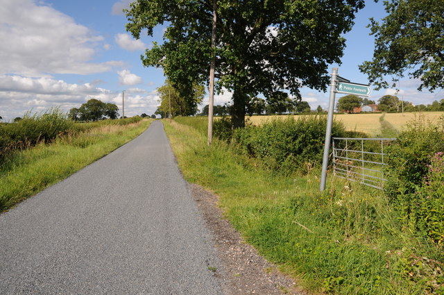
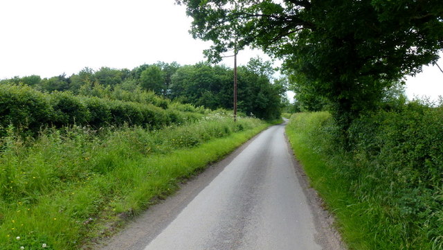
Lane alongside Rabbit Wood Looking north towards Himbleton.
Lane alongside Rabbit Wood
Looking north towards Himbleton.
Footpath across pasture to Saldons Farm This scene is not surprisingly very similar to <a href="https://www.geograph.org.uk/photo/846703">SO9558 : Saldons Farm, near Himbleton</a> taken 5 years previously.
Footpath across pasture to Saldons Farm
This scene is not surprisingly very similar to SO9558 : Saldons Farm, near Himbleton taken 5 years previously.
Mill Lane, Huddington This minor road had a surprisingly small amount of traffic using it on this June afternoon.
Mill Lane, Huddington
This minor road had a surprisingly small amount of traffic using it on this June afternoon.
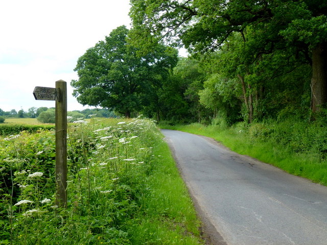
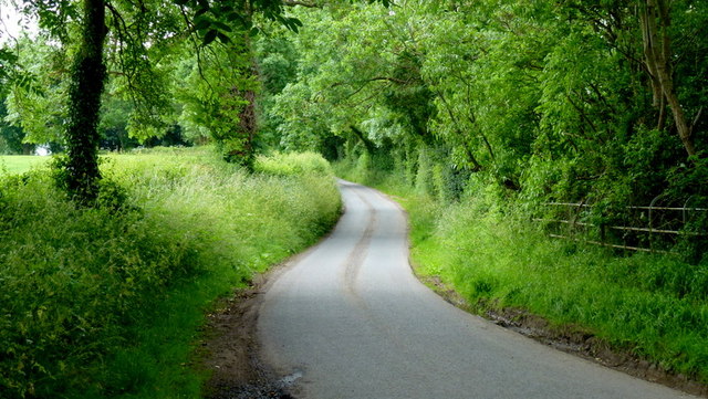
Leafy lane Minor road from Grafton to Huddington.
Leafy lane
Minor road from Grafton to Huddington.
Junction with the A422 Taken at the lane from North Piddle at Briary House.
Junction with the A422
Taken at the lane from North Piddle at Briary House.
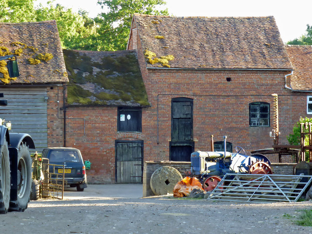
Mill Farm, Huddington There are water courses and this looks like a former water mill. There is a vintage tractor in front and nearby buildings also have vintage tractors outside.
Mill Farm, Huddington
There are water courses and this looks like a former water mill. There is a vintage tractor in front and nearby buildings also have vintage tractors outside.
Show me another place!

Grafton Flyford is located at Grid Ref: SO9656 (Lat: 52.206909, Lng: -2.058182)

Administrative County: Worcestershire

District: Wychavon

Police Authority: West Mercia

What 3 Words

///maximum.chugging.shrub. Near Kington, Worcestershire

Related Wikis

Grafton Flyford

Grafton Flyford is a village about 6 miles (9.7 km) east of Worcester, in Worcestershire, England. It neighbours Stock Green, with the large farm house...

Grafton Wood

Grafton Wood is a nature reserve near the village of Grafton Flyford, about 6 miles (9.7 km) east of Worcester, in Worcestershire, England. == Description... ==

North Piddle

North Piddle is a small civil parish in the Wychavon district of Worcestershire, England. It is located within a loop of Piddle Brook. North Piddle is...

Huddington

Huddington is a village in Worcestershire, England. == Location == Huddington is located 5 miles (8.0 km) east of Worcester and 5 miles (8.0 km) south...

Nearby Amenities

Located within 500m of 52.206909,-2.058182
Grafton Flyford
Place: hamlet
Source: OS Streetview
Wikidata: Q2429613
Lat/Long: 52.2042667/-2.0531136
Power: pole
Lat/Long: 52.2056143/-2.0554442
Power: pole
Lat/Long: 52.2074563/-2.0557888
Power: pole
Lat/Long: 52.2029558/-2.0553885
Power: pole
Lat/Long: 52.2041934/-2.0552968
Power: pole
Lat/Long: 52.2062432/-2.0555464
Power: pole
Lat/Long: 52.2046012/-2.0552695
Power: pole
Lat/Long: 52.2033695/-2.0553599
Power: pole
Lat/Long: 52.2068544/-2.0556619
Power: pole
Lat/Long: 52.2050049/-2.0553377
Grafton Flyford
Power: pole
Transformer: distribution
Voltage Primary: 11000
Lat/Long: 52.2037888/-2.0553267
Power: pole
Lat/Long: 52.2106783/-2.0583058
Power: pole
Lat/Long: 52.2111512/-2.0562321
Power: pole
Lat/Long: 52.2086742/-2.0556218
Power: pole
Lat/Long: 52.2078271/-2.0557218
Power: pole
Lat/Long: 52.2102544/-2.0572858
Power: pole
Lat/Long: 52.2082555/-2.0556732
Power: pole
Lat/Long: 52.209524/-2.0555475
Power: pole
Lat/Long: 52.2107057/-2.0567466
Power: pole
Lat/Long: 52.2100489/-2.0567788
Power: pole
Lat/Long: 52.2110782/-2.0592775
Grafton Flyford North
Power: pole
Transformer: distribution
Voltage Primary: 11000
Lat/Long: 52.2091194/-2.0555834
Crossing
Lat/Long: 52.2091047/-2.0558866
The data included in this document is from www.openstreetmap.org. The data is made available under ODbL.

Have you been to Grafton Flyford?

Leave your review of Grafton Flyford below (or comments, questions and feedback).