Brodiesord

Settlement in Banffshire

Scotland

Brodiesord

Canterbury House A new build by Canterbury Wood, off B9022.
Canterbury House Credit: Stanley Howe

Brodiesord is a small village located in the county of Banffshire, Scotland. Situated in the northeast region of the country, it is nestled between the towns of Banff and Macduff, overlooking the picturesque Moray Firth. The village is home to a population of around 500 residents, making it a close-knit community.

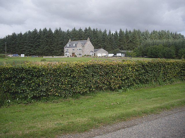
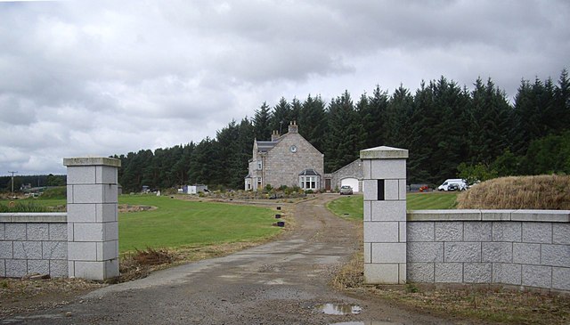
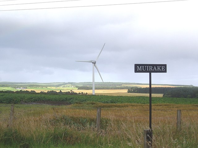
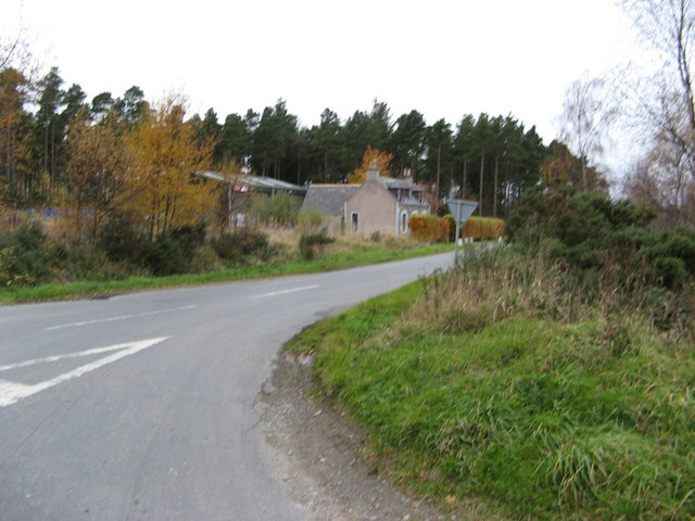
With its rich history, Brodiesord showcases several traditional stone buildings, reflecting its rural charm. The village is surrounded by rolling hills and stunning natural landscapes, offering breathtaking views of the countryside. Its proximity to the coast provides residents and visitors with easy access to beautiful sandy beaches and opportunities for water-based activities.

Brodiesord offers a range of amenities to cater to the needs of its residents. The village boasts a primary school, a local convenience store, and a post office, ensuring that essential services are readily available. Additionally, there are several quaint pubs and restaurants in the area, where locals and tourists can enjoy traditional Scottish cuisine.

For nature enthusiasts, Brodiesord is the perfect base for exploring the nearby Cairngorms National Park, renowned for its rugged mountains, stunning lochs, and diverse wildlife. Outdoor activities such as hiking, mountain biking, and birdwatching are popular pastimes among both locals and visitors.

Overall, Brodiesord provides a peaceful and idyllic setting for those seeking a tranquil countryside lifestyle, while still being within close proximity to larger towns and natural wonders.

If you have any feedback on the listing, please let us know in the comments section below.
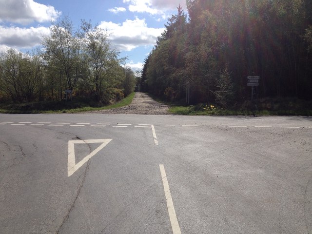
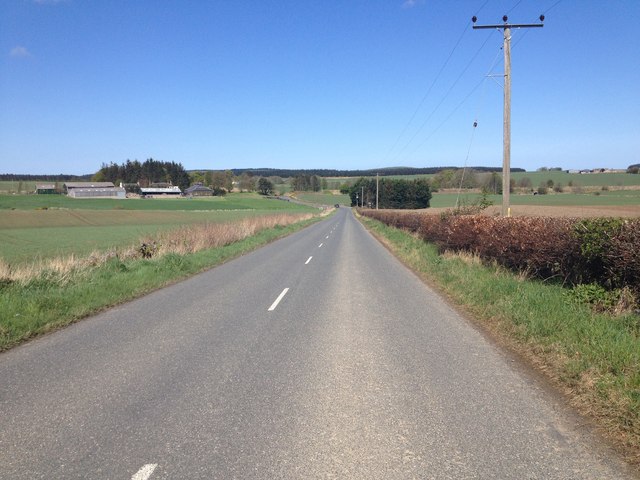
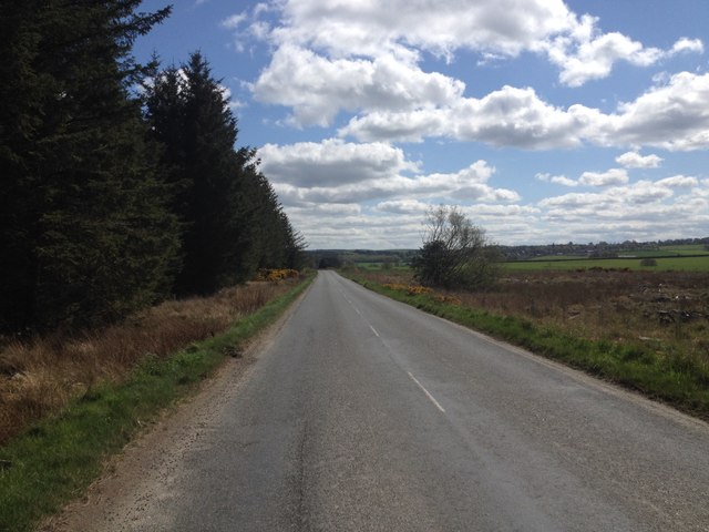
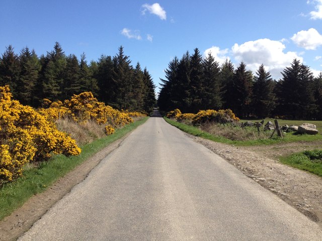
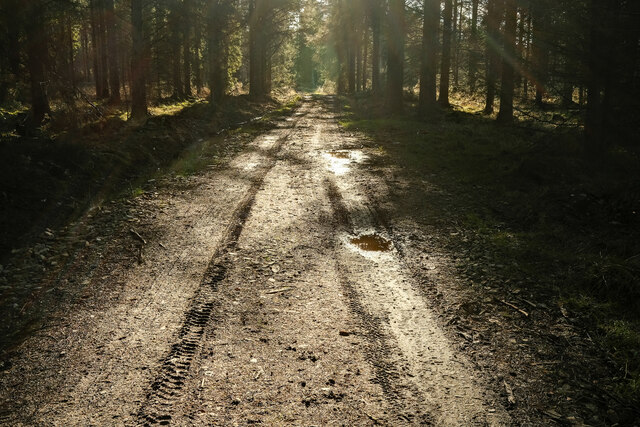
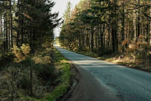
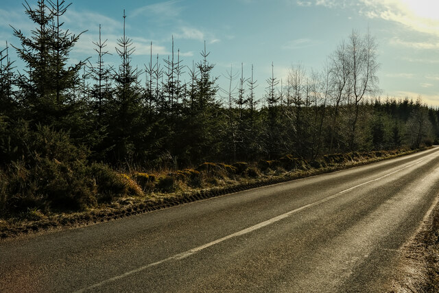
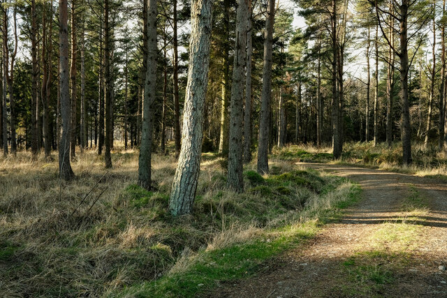
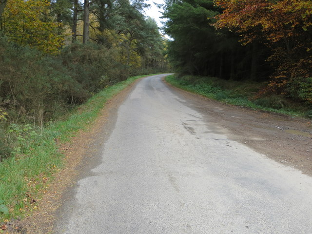
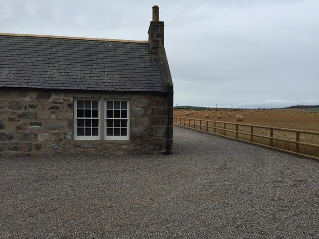
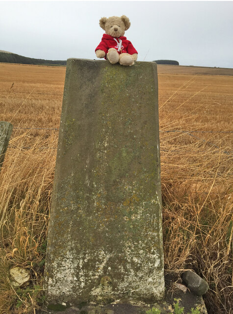
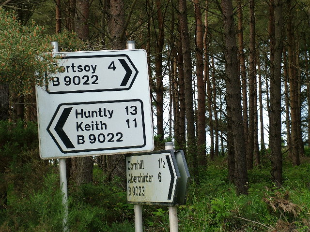
Brodiesord Images

Images are sourced within 2km of 57.627895/-2.7216605 or Grid Reference NJ5760. Thanks to Geograph Open Source API. All images are credited.

Canterbury House A new build by Canterbury Wood, off B9022.
Canterbury House
A new build by Canterbury Wood, off B9022.
Access to Canterbury House A new build off B9022 near Canterbury Wood.
Access to Canterbury House
A new build off B9022 near Canterbury Wood.
Wind Turbine at Muirake One of a pair by B9022, close to Muirake Cottages.
Wind Turbine at Muirake
One of a pair by B9022, close to Muirake Cottages.
Site of Cornhill station, 1988 View SE in the yard of Aberdeen & Northern Marts Ltd., with behind  some remains of the former station on the ex-GNS 'Coast' line between Cairnie Junction (to left) via (to right) Portsoy and Buckie to Elgin, which was all closed from 6/5/68.
Site of Cornhill station, 1988
View SE in the yard of Aberdeen & Northern Marts Ltd., with behind some remains of the former station on the ex-GNS 'Coast' line between Cairnie Junction (to left) via (to right) Portsoy and Buckie to Elgin, which was all closed from 6/5/68.
Road junction at Bogmuchalls
B9023 near Cornhill
B9023 near Cornhill
B9023 near Brodiesord
Minor road near Brodiesord
Canterbury Wood's Access One of the access points to this small woodland.
Canterbury Wood's Access
One of the access points to this small woodland.
Back roads of Aberdeenshire A quiet road through a woodland
Back roads of Aberdeenshire
A quiet road through a woodland
New woodland on the B9022 A new(ish) plantation on the B9022
New woodland on the B9022
A new(ish) plantation on the B9022
Canterbury Woods An access point to this small woodland
Canterbury Woods
An access point to this small woodland
Road near the entrance to Coldwells Looking north-eastward.
Road near the entrance to Coldwells
Looking north-eastward.
Brodiesord Schoolhouse, Cornhill, Banff Brodiesord Schoolhouse, Cornhill
Brodiesord Schoolhouse, Cornhill, Banff
Brodiesord Schoolhouse, Cornhill
Bunker Hill Trig Point Flush Bracket S7180
Highway Signs at 9022 and 9023
Birch Villa House and Farm buildings
Birch Villa
House and Farm buildings
Muirake Cottages Semi detached cottages on the B9022 road to Portsoy.
Muirake Cottages
Semi detached cottages on the B9022 road to Portsoy.
Show me another place!

Brodiesord is located at Grid Ref: NJ5760 (Lat: 57.627895, Lng: -2.7216605)

Unitary Authority: Aberdeenshire

Police Authority: North East

What 3 Words

///ladders.recapture.boosted. Near Portsoy, Aberdeenshire

Related Wikis

Cornhill railway station

Cornhill railway station was an intermediate stop situated on the Great North of Scotland Railway (GNoSR) line from Cairnie Junction to Tillynaught. There...

Cornhill, Aberdeenshire

Cornhill (Scottish Gaelic: Cnoc an Arbhair) is a small village close to Banff, Aberdeenshire, Scotland. It lies 5 miles (8.0 km) to the south of Portsoy...

Castle of Park (Aberdeenshire)

Park or Castle of Park, is an A-listed rambling baronial mansion incorporating a 16th-century tower house. It is 4 miles (6.4 km) north-west of Aberchirder...

Tillynaught railway station

Tillynaught railway station or Tillynaught Junction was a junction railway station in what is now Aberdeenshire, Parish of Fordyce, 6 miles south-west...

Nearby Amenities

Located within 500m of 57.627895,-2.7216605
Brodiesord
Place: hamlet
Lat/Long: 57.6285859/-2.7204393
Power: pole
Lat/Long: 57.623895/-2.7181089
Power: pole
Lat/Long: 57.624569/-2.7184912
Power: pole
Lat/Long: 57.6252536/-2.71885
Power: pole
Lat/Long: 57.6259526/-2.7192359
Power: pole
Lat/Long: 57.6266053/-2.7196038
Power: pole
Lat/Long: 57.6269104/-2.7204134
Power: pole
Lat/Long: 57.6272204/-2.7211978
Power: pole
Lat/Long: 57.627537/-2.7219822
Power: pole
Lat/Long: 57.6277253/-2.7221175
Power: pole
Lat/Long: 57.6283403/-2.7224871
Power: pole
Lat/Long: 57.6289852/-2.7228568
Power: pole
Lat/Long: 57.6295954/-2.7232247
Power: pole
Lat/Long: 57.6302316/-2.7236142
Power: pole
Lat/Long: 57.6308253/-2.7233834
Power: pole
Lat/Long: 57.6314027/-2.7231561
Power: pole
Lat/Long: 57.6319896/-2.7229289
Power: pole
Lat/Long: 57.6318921/-2.7236899
Power: pole
Lat/Long: 57.6317289/-2.7246294
Power: pole
Lat/Long: 57.6315571/-2.7255022
Power: pole
Lat/Long: 57.631394/-2.7263551
Power: pole
Lat/Long: 57.6312424/-2.7272044
Power: pole
Lat/Long: 57.6304035/-2.7226062
Power: pole
Lat/Long: 57.6306033/-2.7213349
Power: pole
Lat/Long: 57.6308118/-2.7199969
Power: pole
Lat/Long: 57.6279937/-2.7213926
Power: pole
Lat/Long: 57.6282322/-2.7207687
Power: pole
Lat/Long: 57.6283857/-2.7204783
Power: pole
Lat/Long: 57.6285643/-2.7201808
Power: pole
Lat/Long: 57.6287719/-2.7198472
Power: pole
Lat/Long: 57.6290354/-2.7190466
Bus Stop
School
Bus: yes
Naptan AtcoCode: 630023601
Naptan Bearing: E
Naptan CommonName: School
Naptan Indicator: o/s
Naptan NaptanCode: 23623645
Naptan Street: Fordyce Road
Naptan Verified: no
Public Transport: platform
Source: naptan;bing;naptan_compare_tool
Lat/Long: 57.6277775/-2.7196924
The data included in this document is from www.openstreetmap.org. The data is made available under ODbL.

Have you been to Brodiesord?

Leave your review of Brodiesord below (or comments, questions and feedback).