Grafham
Civil Parish in Huntingdonshire Huntingdonshire
England
Grafham

Grafham is a civil parish located in the district of Huntingdonshire, in the county of Cambridgeshire, England. It is situated approximately 3 miles west of the town of Huntingdon. The parish covers an area of about 2,000 acres and has a population of around 800 residents.
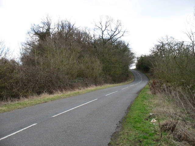
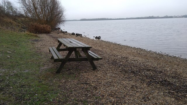
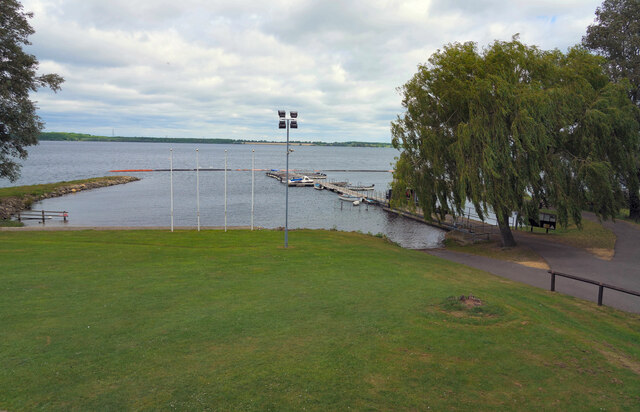
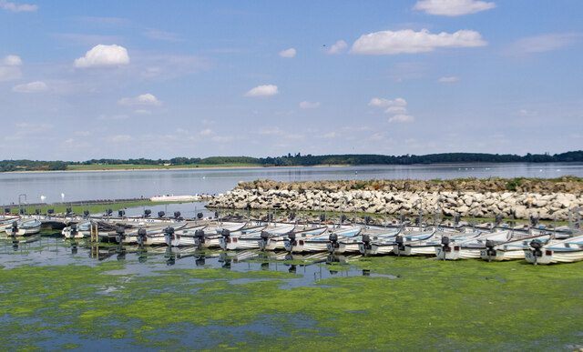
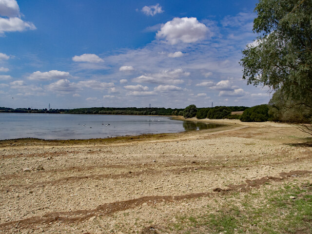
Grafham is predominantly a rural area, characterized by its picturesque countryside and natural beauty. The village is surrounded by rolling hills, farmland, and woodlands, offering a peaceful and tranquil environment. The centerpiece of the parish is Grafham Water, a reservoir and nature reserve that spans over 1,500 acres. It is a popular destination for outdoor activities such as sailing, fishing, cycling, and walking, attracting visitors from both near and far.
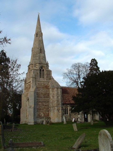
The village itself has a small and close-knit community, with a few local amenities including a village hall, a primary school, and a church. It also has a village shop and a pub, providing basic services to residents and visitors. The architecture in Grafham is predominantly traditional, with a mix of brick and stone-built houses, giving the village a charming and timeless appeal.
Grafham is well-connected to nearby towns and cities via road links, with the A1 and A14 being easily accessible. The nearby town of Huntingdon offers a wider range of services and amenities, including shops, supermarkets, and leisure facilities.
Overall, Grafham is a peaceful and picturesque parish, offering a rural lifestyle with easy access to nearby towns and a variety of outdoor activities.
If you have any feedback on the listing, please let us know in the comments section below.
Grafham Images
Images are sourced within 2km of 52.302687/-0.304058 or Grid Reference TL1568. Thanks to Geograph Open Source API. All images are credited.


Grafham is located at Grid Ref: TL1568 (Lat: 52.302687, Lng: -0.304058)
Administrative County: Cambridgeshire
District: Huntingdonshire
Police Authority: Cambridgeshire
What 3 Words
///tickling.slouched.chitchat. Near Buckden, Cambridgeshire
Nearby Locations
Related Wikis

Grafham Water
Grafham Water is an 806.3-hectare (1,992-acre) biological Site of Special Scientific Interest (SSSI) north of Perry, Huntingdonshire. It was designated...
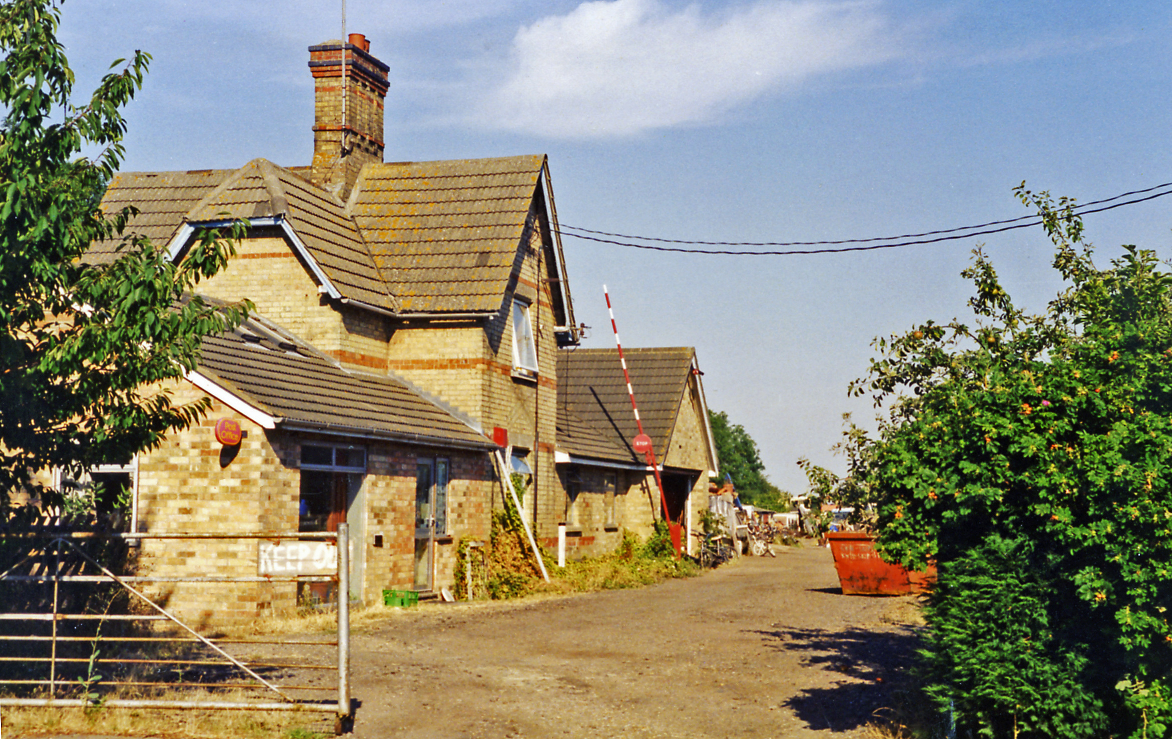
Grafham railway station
Grafham railway station was a railway station in Grafham, Cambridgeshire. The station and its line closed in 1959.In the 1990s the railway station buildings...
Grafham, Cambridgeshire
Grafham is a village and civil parish in Cambridgeshire, England. Grafham lies approximately 5 miles (8 km) south-west of Huntingdon. Grafham is situated...

HM Prison Littlehey
HM Prison Littlehey is a Category C male prison in the village of Perry near Huntingdon in Cambridgeshire, England. Littlehey Prison is operated by His...
Nearby Amenities
Located within 500m of 52.302687,-0.304058Have you been to Grafham?
Leave your review of Grafham below (or comments, questions and feedback).