Church Hill Bay
Bay in Huntingdonshire Huntingdonshire
England
Church Hill Bay

Church Hill Bay is a picturesque coastal area located in Huntingdonshire, a historic county in the eastern region of England. Situated on the eastern shores of the country, this bay is known for its stunning natural beauty and rich cultural heritage.
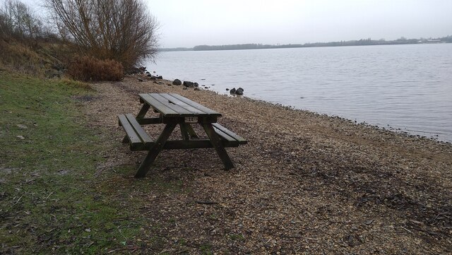
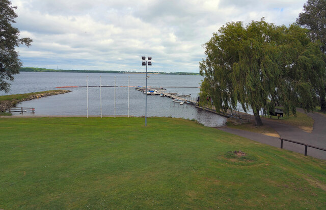
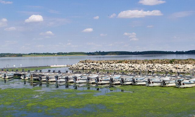
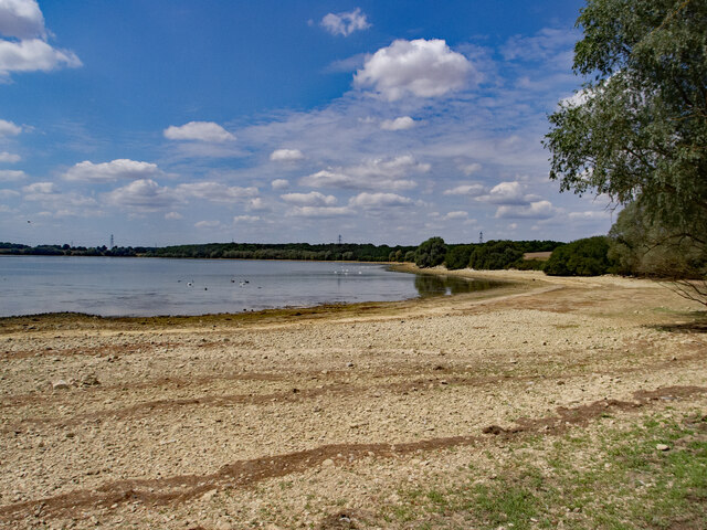
The bay is characterized by its sandy beaches, rugged cliffs, and clear blue waters, making it a popular destination for beachgoers and nature enthusiasts alike. The bay is also home to a diverse range of flora and fauna, creating a thriving ecosystem that attracts birdwatchers and wildlife lovers.
Church Hill Bay is steeped in history, with evidence of human occupation dating back to ancient times. Archaeological finds in the area have revealed traces of Roman settlements, suggesting that the bay played a significant role in the region's history.
Visitors to Church Hill Bay can explore a variety of attractions and activities. The bay offers ample opportunities for water sports such as swimming, sailing, and fishing. The surrounding cliffs provide a magnificent backdrop for coastal walks and hiking trails, offering breathtaking views of the bay and its surroundings.
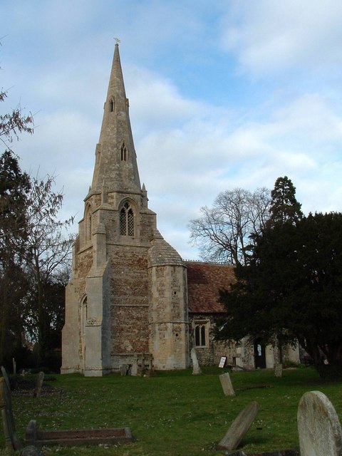
The bay is also home to a charming village, which offers a range of amenities including quaint shops, cozy cafes, and traditional pubs. Additionally, there are several historical landmarks in the area, including a medieval church that dates back to the 12th century.
Overall, Church Hill Bay in Huntingdonshire is a captivating destination that combines natural beauty with a rich historical heritage, making it an ideal place for relaxation, exploration, and cultural discovery.
If you have any feedback on the listing, please let us know in the comments section below.
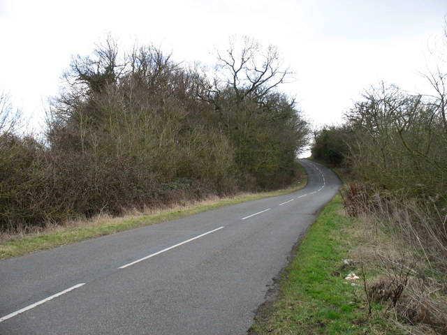
Church Hill Bay Images
Images are sourced within 2km of 52.304867/-0.30687263 or Grid Reference TL1568. Thanks to Geograph Open Source API. All images are credited.


Church Hill Bay is located at Grid Ref: TL1568 (Lat: 52.304867, Lng: -0.30687263)
Administrative County: Cambridgeshire
District: Huntingdonshire
Police Authority: Cambridgeshire
What 3 Words
///signal.cucumber.aliens. Near Buckden, Cambridgeshire
Nearby Locations
Related Wikis
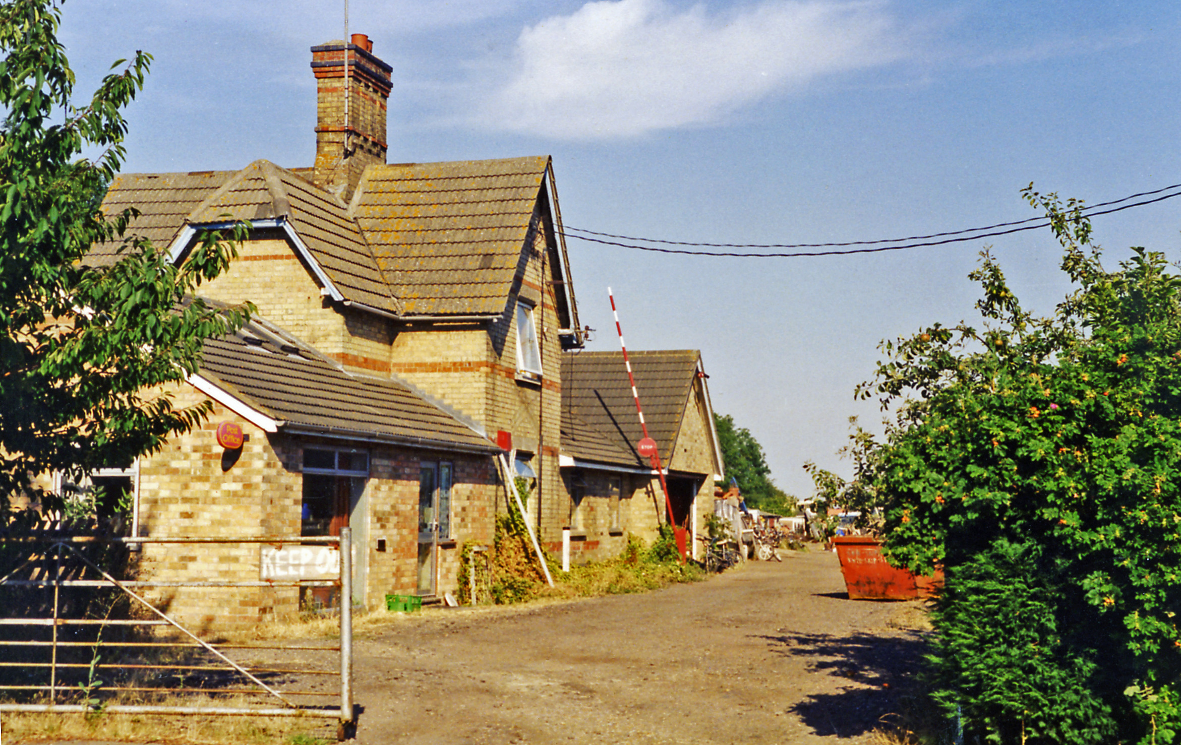
Grafham railway station
Grafham railway station was a railway station in Grafham, Cambridgeshire. The station and its line closed in 1959.In the 1990s the railway station buildings...

Grafham Water
Grafham Water is an 806.3-hectare (1,992-acre) biological Site of Special Scientific Interest (SSSI) north of Perry, Huntingdonshire. It was designated...
Grafham, Cambridgeshire
Grafham is a village and civil parish in Cambridgeshire, England. Grafham lies approximately 5 miles (8 km) south-west of Huntingdon. Grafham is situated...

Gaynes Hall
Gaynes Hall is a Grade II* listed Georgian mansion set in 20 acres (81,000 m2) of parkland in the heart of the Cambridgeshire countryside. Located in the...
Nearby Amenities
Located within 500m of 52.304867,-0.30687263Have you been to Church Hill Bay?
Leave your review of Church Hill Bay below (or comments, questions and feedback).