Gosbeck
Civil Parish in Suffolk Mid Suffolk
England
Gosbeck
Gosbeck is a civil parish located in the county of Suffolk, England. It is situated approximately 6 miles north of Ipswich, the county town. The parish covers an area of around 2.5 square miles and has a population of approximately 400 residents.
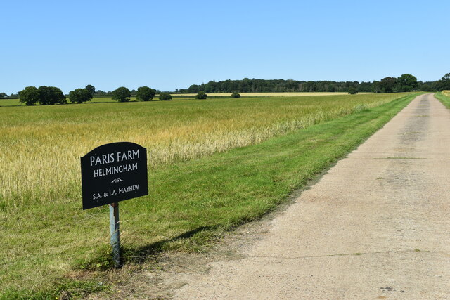
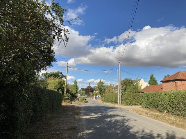
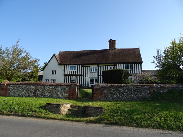
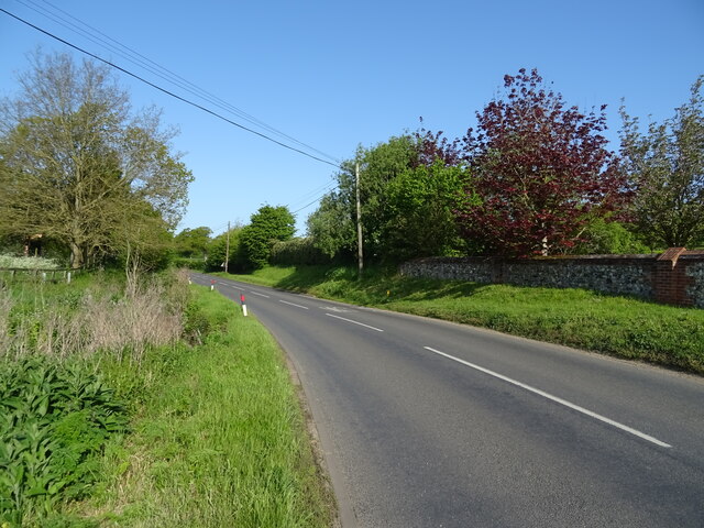
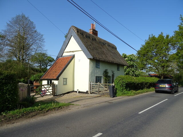
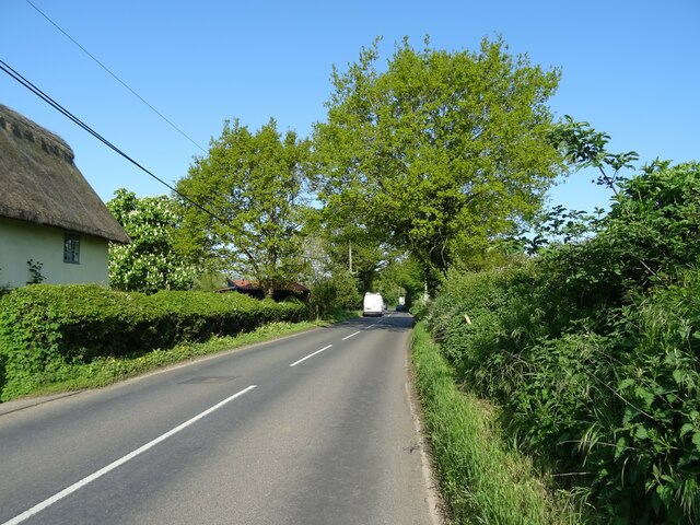
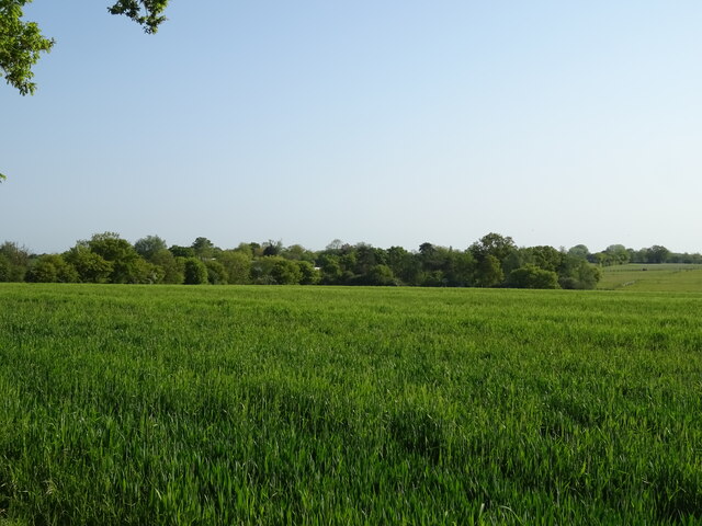
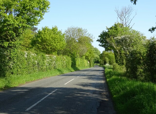
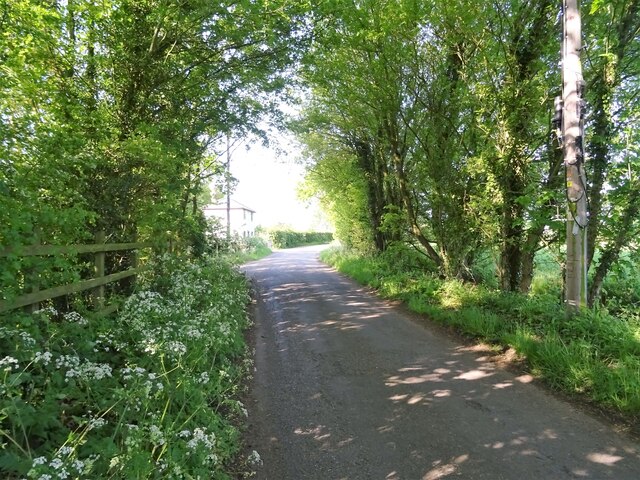
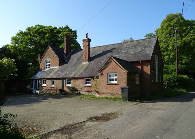
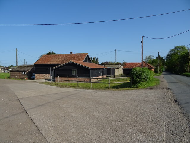
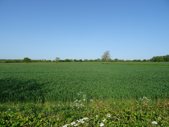
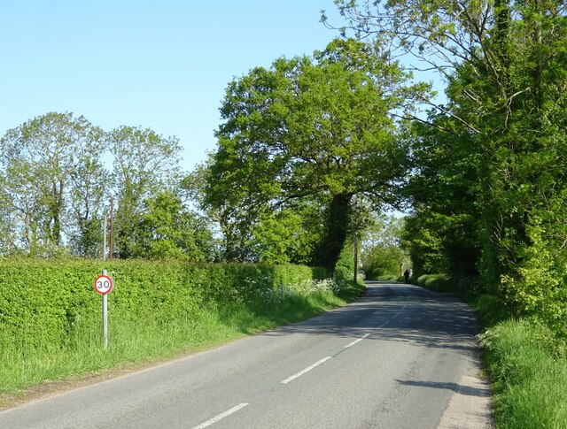
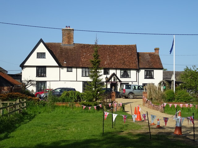
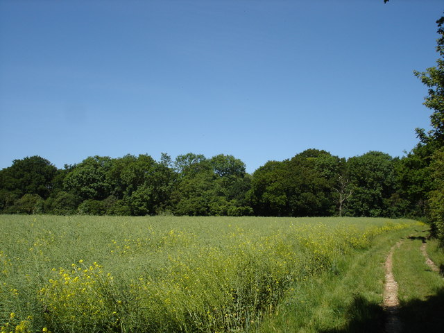
Gosbeck is a rural village characterized by its picturesque countryside and charming historic buildings. The village is surrounded by farmland and offers stunning views of the Suffolk countryside. The landscape is dotted with traditional cottages and farmhouses, giving the area a quintessential English village feel.
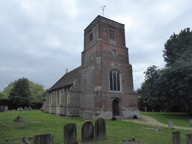
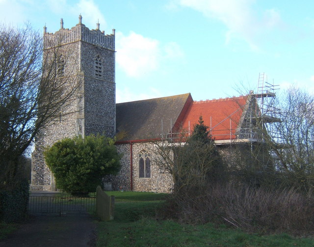
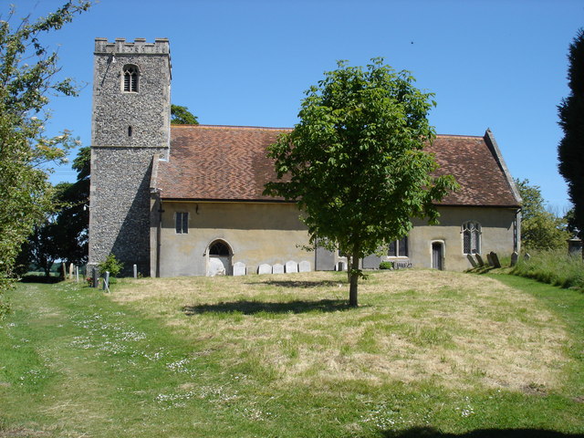
The village is known for its historic church, St. Mary's Church, which dates back to the 14th century. The church features beautiful stained glass windows and intricate stonework, and it holds regular services for the local community.
Gosbeck has a strong sense of community, with various local organizations and clubs catering to different interests. The village has a primary school, providing education to local children, and a village hall that serves as a hub for various community events and activities.
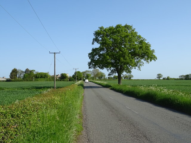
Despite its rural setting, Gosbeck benefits from good transport links. The A140 road runs nearby, connecting the village to Ipswich and Norwich, making it easily accessible by car. Additionally, there are regular bus services that provide connections to nearby towns and villages.
Overall, Gosbeck offers a peaceful and idyllic countryside living experience, making it an attractive place for those seeking a tranquil lifestyle away from the hustle and bustle of city living.
If you have any feedback on the listing, please let us know in the comments section below.
Gosbeck Images
Images are sourced within 2km of 52.159554/1.151163 or Grid Reference TM1555. Thanks to Geograph Open Source API. All images are credited.
Gosbeck is located at Grid Ref: TM1555 (Lat: 52.159554, Lng: 1.151163)
Administrative County: Suffolk
District: Mid Suffolk
Police Authority: Suffolk
What 3 Words
///windmill.replaying.assets. Near Claydon, Suffolk
Related Wikis
Gosbeck
Gosbeck is a village and civil parish in the Mid Suffolk district of Suffolk in eastern England. Located around five miles north of Ipswich, in 2005 its...
Gosbeck Wood
Gosbeck Wood is a 22.8-hectare (56-acre) biological Site of Special Scientific Interest east of Needham Market in Suffolk.This is an ancient coppice with...
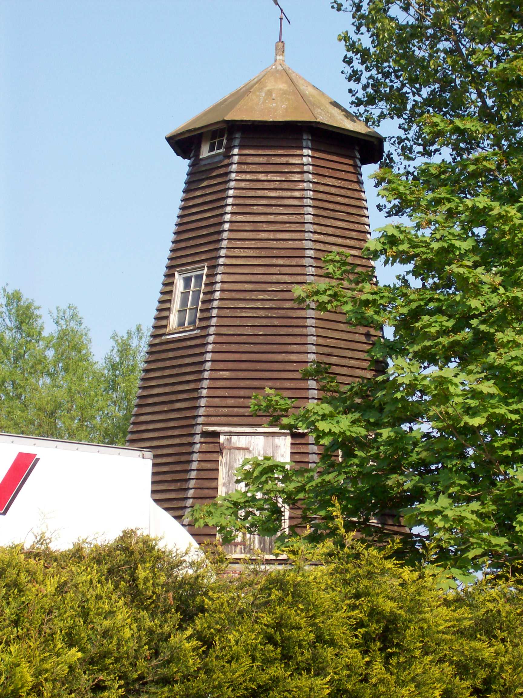
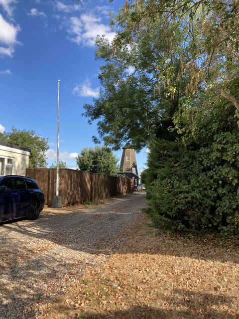
Crowfield Windmill
Crowfield Windmill is a smock mill at Crowfield, Suffolk, England which has been conserved. == History == Crowfield Windmill was originally built as a...
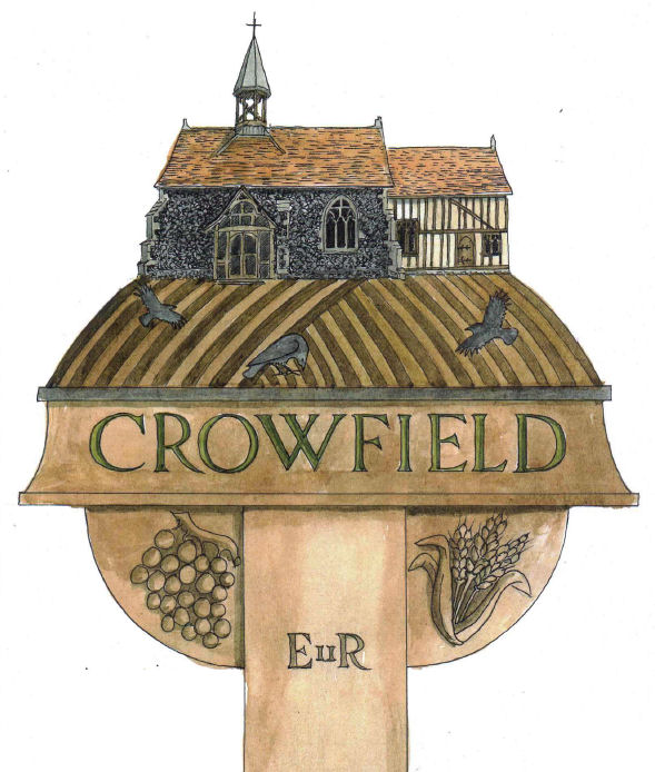
Crowfield, Suffolk
Crowfield is a village in Suffolk, England. It is in Helmingham and Coddenham ward in the Mid Suffolk local authority, in the East of England region....
Hemingstone
Hemingstone is a village and civil parish in the Mid Suffolk district of Suffolk in eastern England located 6.5 miles (11 km) north of Ipswich. Hemingstone...
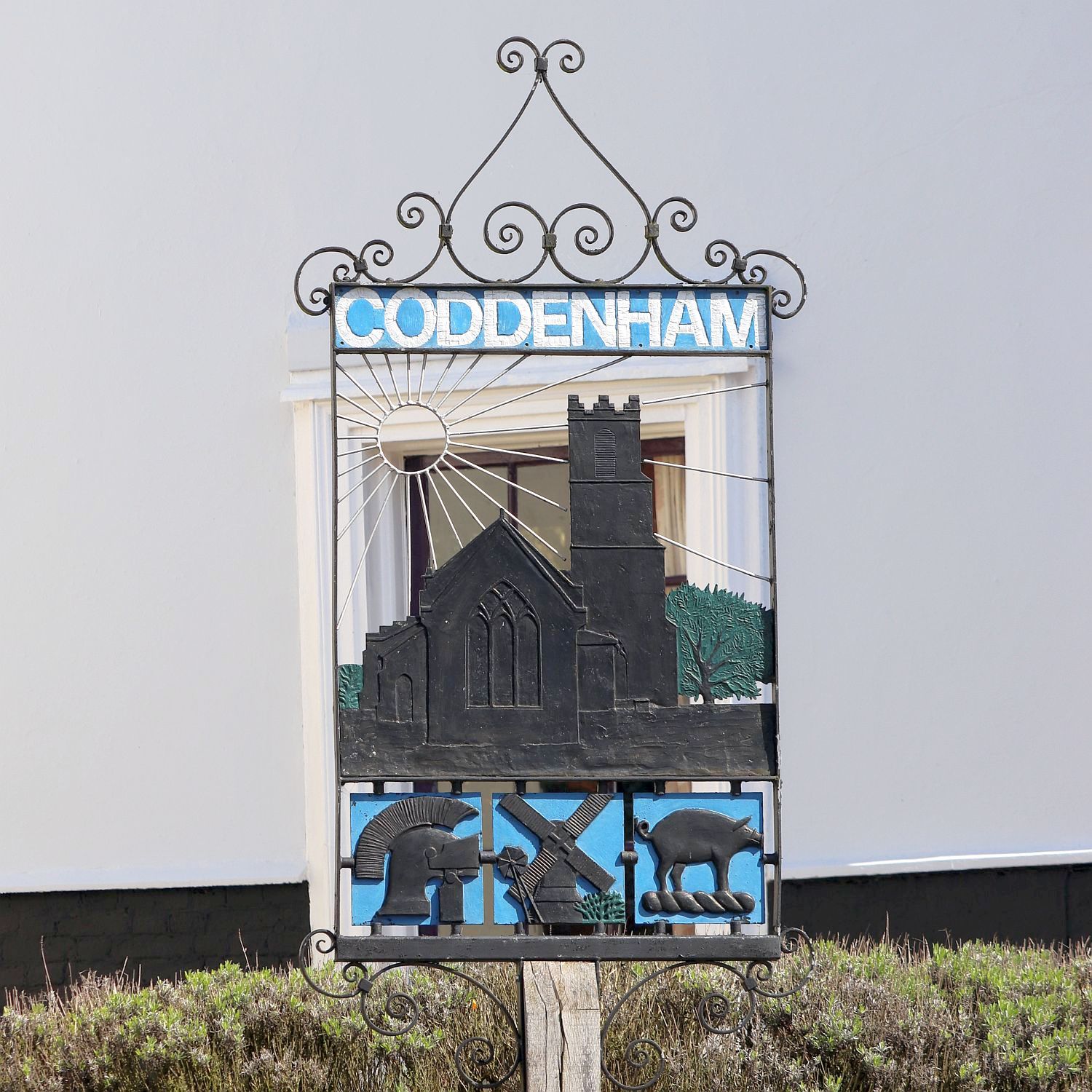
Coddenham
Coddenham is a village and civil parish in the Mid Suffolk district of Suffolk in eastern England. Located to the north of the A14 road, 8 miles north...
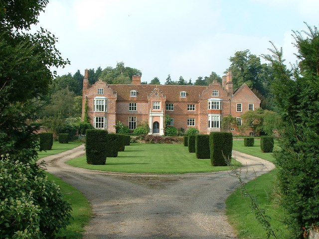
Hemingstone Hall
Hemingstone Hall is a Jacobean manor house in Hemingstone close to Ipswich in Suffolk, England. It was built in the early 17th Century, around 1625, for...
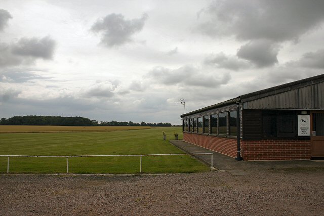
Crowfield Airfield
Crowfield Airfield (ICAO: EGSO) is a privately owned airfield located in Suffolk in the east of England. It has 2 grass runways. Crowfield Airfield has...
Related Videos


Bush mule landing
Bush mule landing end of the night.

Flight Training!!!
My Flight Training journey!!!

Have you been to Gosbeck?
Leave your review of Gosbeck below (or comments, questions and feedback).