Godney

Civil Parish in Somerset Mendip

England

Godney

White's Drove Followed by Restricted Byway WS 5/19, with overhanging ashes and other trees. Seen from where it leaves North Chine Drove.
White's Drove Credit: Derek Harper

Godney is a civil parish located in the Mendip district of Somerset, England. It is situated approximately 4 miles west of Wells and 5 miles south of Glastonbury. The parish covers an area of about 1.5 square miles and has a population of around 300 people.

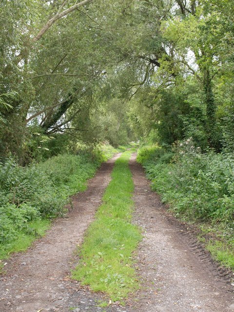
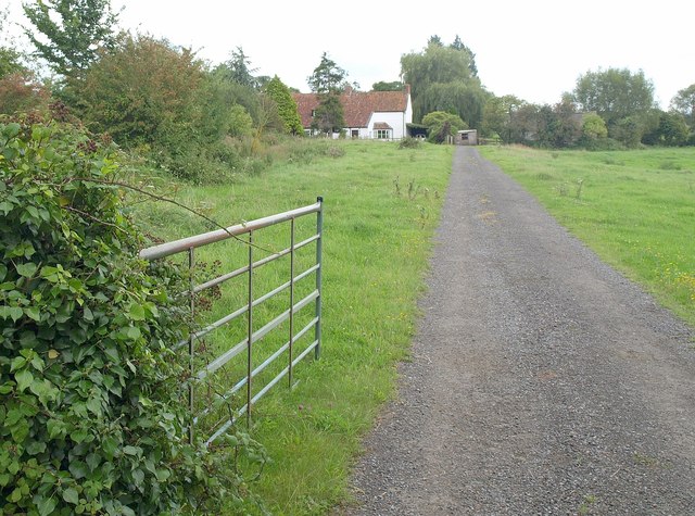
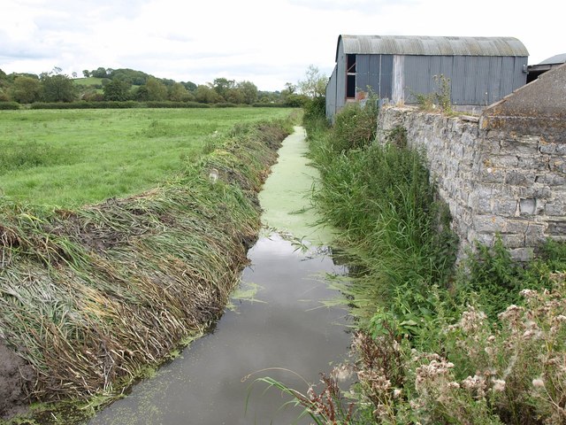
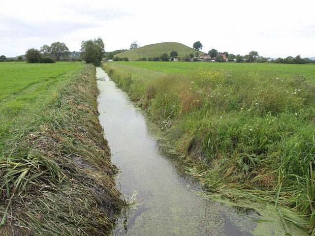
The village of Godney is nestled on the banks of the River Sheppey, surrounded by picturesque countryside. Its name is said to originate from "God's Island" due to its location on a slightly elevated piece of land that remains dry even during flooding periods.

The area has a rich history, with evidence of human activity dating back to the Stone Age. In the 12th century, a Benedictine abbey was established in Godney, which played a significant role in the local economy and community for several centuries.

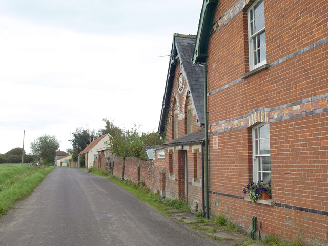
Today, the village retains its rural charm with a mix of traditional cottages and newer residential developments. The St. Mary's Church, built in the 13th century, is a notable landmark and a hub for the local community.

Godney is known for its vibrant social scene, with a popular pub, The Sheppey, attracting locals and visitors alike. The annual Godney Gathering, a music festival held in the village, draws crowds from across the region.

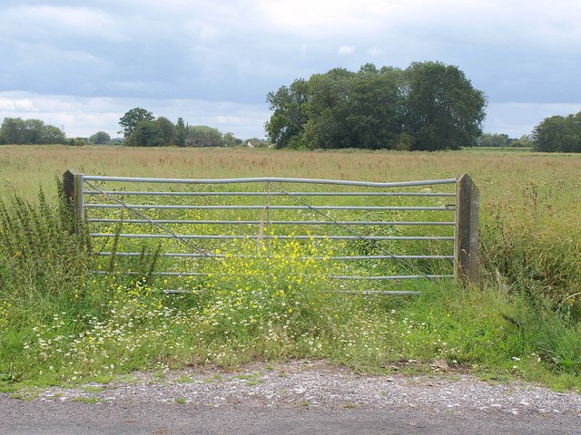
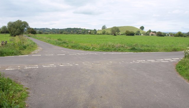
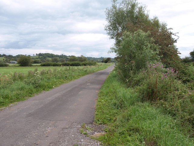
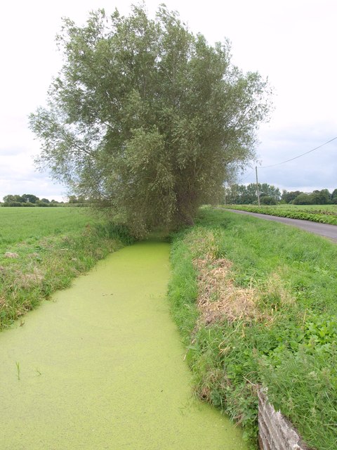
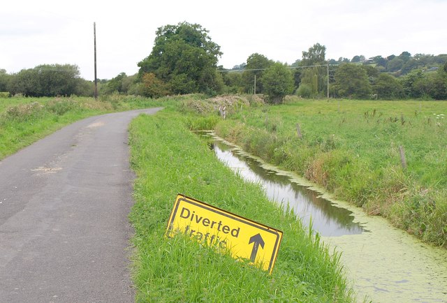
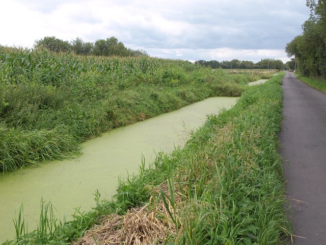
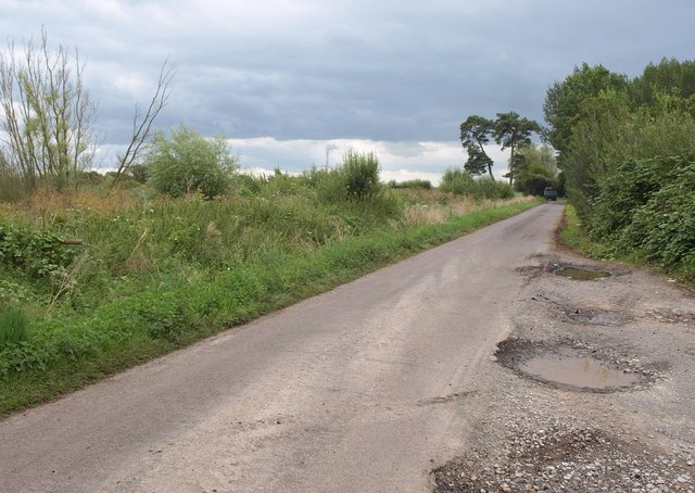
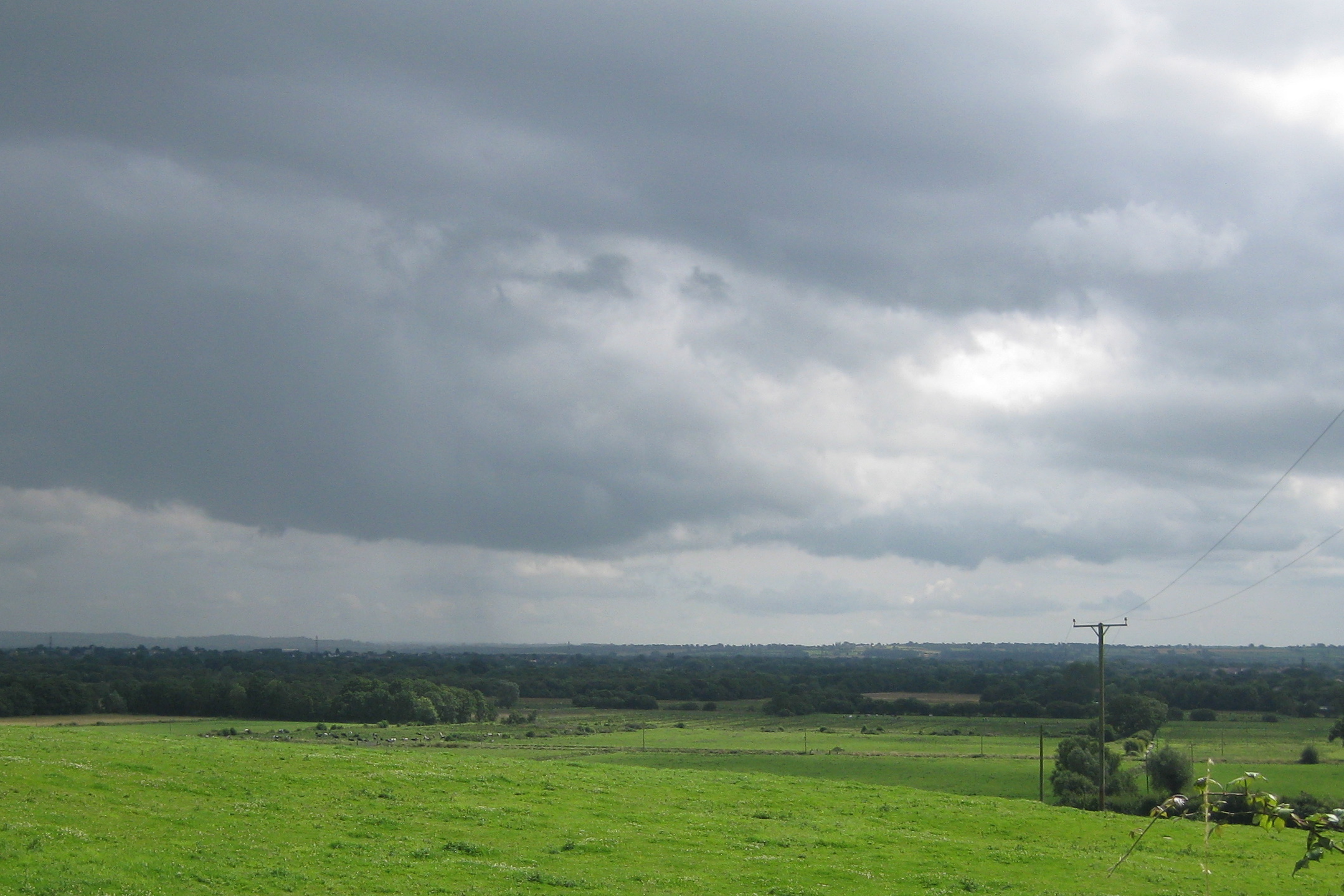
The surrounding area offers ample opportunities for outdoor activities, including walking, cycling, and fishing. The nearby Somerset Levels, with their unique wetland habitats, provide a haven for wildlife enthusiasts.

In summary, Godney is a small yet vibrant civil parish in Somerset, offering a peaceful countryside setting, a rich history, and a close-knit community.

If you have any feedback on the listing, please let us know in the comments section below.

Godney Images

Images are sourced within 2km of 51.18751/-2.749798 or Grid Reference ST4743. Thanks to Geograph Open Source API. All images are credited.

White's Drove Followed by Restricted Byway WS 5/19, with overhanging ashes and other trees. Seen from where it leaves North Chine Drove.
White's Drove
Followed by Restricted Byway WS 5/19, with overhanging ashes and other trees. Seen from where it leaves North Chine Drove.
Reed Farm Looking up the drive to the farm from the B3139.
Reed Farm
Looking up the drive to the farm from the B3139.
Rhyne near Bleadney A view from Tilley's Drove along a rhyne past some farm buildings.
Rhyne near Bleadney
A view from Tilley's Drove along a rhyne past some farm buildings.
Rhyne near Bleadney Looking in the other direction from the spot where <a href="https://www.geograph.org.uk/photo/2588714">ST4745 : Rhyne near Bleadney</a> was taken, on the other side of Tilley's Drove. Ahead is <a href="https://www.geograph.org.uk/photo/93989">ST4745 : Panborough Hill</a> - mapped as Barrow Hill - with Barrow House Farm at its foot.
Rhyne near Bleadney
Looking in the other direction from the spot where ST4745 : Rhyne near Bleadney was taken, on the other side of Tilley's Drove. Ahead is ST4745 : Panborough Hill - mapped as Barrow Hill - with Barrow House Farm at its foot.
Gate and field, Yeap's Drove <a href="https://www.geograph.org.uk/photo/89431">ST4844 : The Road down to Godney</a> was taken further down this road to the left. This looks across it and across a meadow beyond. The prominent clump of trees and the distant Brook Farm to its left are both in <a href="https://www.geograph.org.uk/gridref/ST4744">ST4744</a>.
Gate and field, Yeap's Drove
ST4844 : The Road down to Godney was taken further down this road to the left. This looks across it and across a meadow beyond. The prominent clump of trees and the distant Brook Farm to its left are both in ST4744.
Crossroads on the levels Yeap's Drove gives way to Tilley's Drove. Ahead is Barrow Hill, in <a href="https://www.geograph.org.uk/gridref/ST4745">ST4745</a>.
Crossroads on the levels
Yeap's Drove gives way to Tilley's Drove. Ahead is Barrow Hill, in ST4745.
North Chine Drove A lane across the levels, with Yarley Hill visible ahead.
North Chine Drove
A lane across the levels, with Yarley Hill visible ahead.
Panborough Drain Diversion Seen from North Chine Drove; on the right is Lewis's Drove.
Panborough Drain Diversion
Seen from North Chine Drove; on the right is Lewis's Drove.
North Chine Drove and Rhyne This is taken from the same junction as <a href="https://www.geograph.org.uk/photo/2588921">ST4645 : Panborough Drain Diversion</a>, and it look as if traffic is being encouraged to divert, not into Panborough Drain Diversion, but into the unnamed rhyne alongside the drove.
North Chine Drove and Rhyne
This is taken from the same junction as ST4645 : Panborough Drain Diversion, and it look as if traffic is being encouraged to divert, not into Panborough Drain Diversion, but into the unnamed rhyne alongside the drove.
Panborough Drain Diversion The rhyne runs beside Lewis's Drove, here approaching Laurel Farm. I fell off the bike here; look, I hadn't ridden one for thirteen years, okay? Luckily I didn't end up in the rhyne. Maize on the left.
Panborough Drain Diversion
The rhyne runs beside Lewis's Drove, here approaching Laurel Farm. I fell off the bike here; look, I hadn't ridden one for thirteen years, okay? Luckily I didn't end up in the rhyne. Maize on the left.
Works by Lewis's Drove Part of a peat works north of the junction with Westhay Moor Drove.
Works by Lewis's Drove
Part of a peat works north of the junction with Westhay Moor Drove.
Lewis's Drove Looking in the other direction from the spot where <a href="https://www.geograph.org.uk/photo/2589308">ST4643 : Works by Lewis's Drove</a> was taken. A tractor and trailer from the peat works has just reached the T-junction with Westhay Moor Drove near the pine trees.
Lewis's Drove
Looking in the other direction from the spot where ST4643 : Works by Lewis's Drove was taken. A tractor and trailer from the peat works has just reached the T-junction with Westhay Moor Drove near the pine trees.
Levels near Godney A view from Westhay Moor Drive towards Lower Godney, with a rhyne in the foreground.
Levels near Godney
A view from Westhay Moor Drive towards Lower Godney, with a rhyne in the foreground.
Crossroads near Lower Godney Westhay Moor Drove (foreground) meets Tilley's Drove and continues ahead as Tripps Drove.
Crossroads near Lower Godney
Westhay Moor Drove (foreground) meets Tilley's Drove and continues ahead as Tripps Drove.
Tilley's Drove Approaching Lower Godney, which is strung out between a road and the River Sheppey.
Tilley's Drove
Approaching Lower Godney, which is strung out between a road and the River Sheppey.
Sheppey Inn, Godney Would you believe it - the pub's shut on Monday lunchtime!
Sheppey Inn, Godney
Would you believe it - the pub's shut on Monday lunchtime!
River Sheppey East of Lower Godney, looking towards Godney Farm. In the distance on the right, Glastonbury Tor. It's very dark and starting to rain.
River Sheppey
East of Lower Godney, looking towards Godney Farm. In the distance on the right, Glastonbury Tor. It's very dark and starting to rain.
Former school, Upper Godney Some polychrome brickwork makes these Vicrotian buildings distinctive.
Former school, Upper Godney
Some polychrome brickwork makes these Vicrotian buildings distinctive.
Show me another place!

Godney is located at Grid Ref: ST4743 (Lat: 51.18751, Lng: -2.749798)

Administrative County: Somerset

District: Mendip

Police Authority: Avon and Somerset

What 3 Words

///premature.smug.saucepan. Near Glastonbury, Somerset

Nearby Locations

Godney Moor Godney

Related Wikis

Godney

Godney is a village and civil parish near Glastonbury on the River Sheppey on the Somerset Levels in the Mendip district of Somerset, England. == History... ==

Holy Trinity Church, Godney

Holy Trinity Church is a former Church of England church in Godney, Somerset, England. Designed by George Phillips Manners, it was built in 1839–41 and...

Meare Pool

Meare Pool (also known as Ferlingmere, Ferran Mere or Meare fish pool) was a lake in the Somerset Levels in South West England. Lake villages existed there...

Westhay Moor

Westhay Moor (sometimes, historically, referred to as West Hay Moor) is a 513.7-hectare (1,269-acre) biological Site of Special Scientific Interest 2.5...

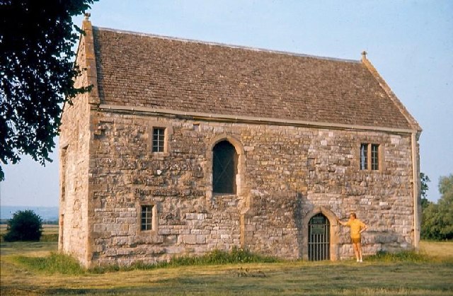
The Abbot's Fish House, Meare

The Abbot's Fish House in Meare, Somerset, England, was built in the 14th century and has been designated as a Grade I listed building and Scheduled Ancient...

Manor Farmhouse, Meare

The Manor Farmhouse in Meare, Somerset, England, was built in the 14th century as the summer residence of the Abbots from Glastonbury Abbey and is now...

Christ Church, Theale

Christ Church is a Church of England church in Theale, Somerset, England. It was built in 1826–28 to the design of Richard Carver and is a Grade II listed...

Meare

Meare is a village and civil parish in Somerset, England, 3 miles (4.8 km) north-west of Glastonbury on the Somerset Levels. The parish includes the village...

Nearby Amenities

Located within 500m of 51.18751,-2.749798
Colour: grey
Design: three-level
Height: 4.7
Line Attachment: suspension
Material: metal
Operator: National Grid
Operator Wikidata: Q1465461
Power: tower
Ref: ZG081
Source: Bing
Start Date: 1960
Structure: lattice
Lat/Long: 51.1854496/-2.7514851
Colour: grey
Design: three-level
Height: 4.64
Line Attachment: suspension
Material: metal
Operator: National Grid
Operator Wikidata: Q1465461
Power: tower
Ref: ZG082
Source: Bing
Start Date: 1960
Structure: lattice
Lat/Long: 51.1856917/-2.7469468
The data included in this document is from www.openstreetmap.org. The data is made available under ODbL.

Have you been to Godney?

Leave your review of Godney below (or comments, questions and feedback).