Gisburn Forest

Civil Parish in Yorkshire Ribble Valley

England

Gisburn Forest

Ordnance Survey Cut Mark This mark can be found on the wall of a roadside barn at Grunsagill.
The benchmark has a recorded height of 175.6426 metres above sea level.
For more detail see : <span class="nowrap"><a title="https://www.bench-marks.org.uk/bm152220" rel="nofollow ugc noopener" href="https://www.bench-marks.org.uk/bm152220">Link</a><img style="margin-left:2px;" alt="External link" title="External link - shift click to open in new window" src="https://s1.geograph.org.uk/img/external.png" width="10" height="10"/></span>
Ordnance Survey Cut Mark Credit: Peter Wood

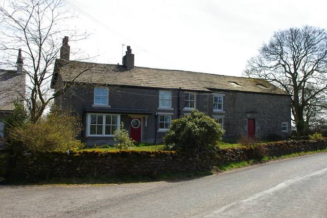
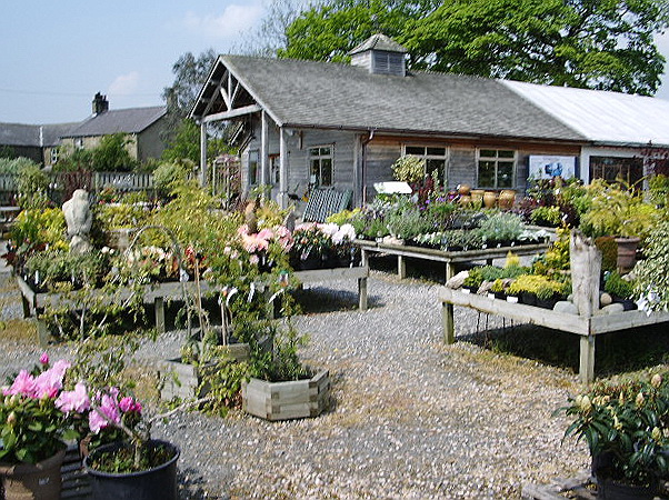
Gisburn Forest is a civil parish located in the county of Yorkshire, England. Situated in the Ribble Valley district, it covers an area of approximately 52 square kilometers. The forest is primarily known for its scenic beauty, offering visitors a tranquil escape from the busy urban life.

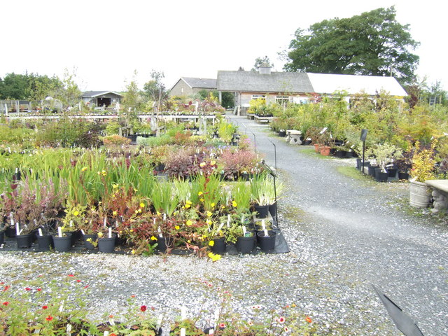
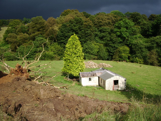
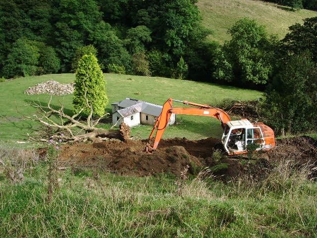
The forest is nestled within the stunning surroundings of the Forest of Bowland Area of Outstanding Natural Beauty, making it a popular destination for outdoor enthusiasts and nature lovers. The landscape is characterized by rolling hills, dense woodlands, and picturesque streams that meander through the area. These natural features provide ample opportunities for activities such as hiking, cycling, and wildlife spotting.

Furthermore, Gisburn Forest is renowned for its extensive network of mountain biking trails. The area boasts over 50 kilometers of purpose-built tracks, catering to riders of all abilities. From gentle family-friendly routes to thrilling downhill descents, there is something for everyone to enjoy. The trails wind through the forest, offering stunning views of the surrounding countryside and providing an exhilarating experience for mountain biking enthusiasts.

In addition to its natural beauty and recreational offerings, Gisburn Forest is also home to diverse wildlife. The forest provides a habitat for various bird species, including the rare and elusive hen harrier. Visitors may also spot red deer, roe deer, and other mammals that call the forest home.

Overall, Gisburn Forest is a captivating destination that offers a harmonious blend of natural beauty, outdoor activities, and wildlife encounters. Whether one seeks adventure, tranquility, or a deeper connection with nature, this civil parish in Yorkshire provides a truly enriching experience.

If you have any feedback on the listing, please let us know in the comments section below.

Gisburn Forest Images

Images are sourced within 2km of 53.975139/-2.311177 or Grid Reference SD7953. Thanks to Geograph Open Source API. All images are credited.

Ordnance Survey Cut Mark This mark can be found on the wall of a roadside barn at Grunsagill.
The benchmark has a recorded height of 175.6426 metres above sea level.
For more detail see : <span class="nowrap"><a title="https://www.bench-marks.org.uk/bm152220" rel="nofollow ugc noopener" href="https://www.bench-marks.org.uk/bm152220">Link</a><img style="margin-left:2px;" alt="External link" title="External link - shift click to open in new window" src="https://s1.geograph.org.uk/img/external.png" width="10" height="10"/></span>
Ordnance Survey Cut Mark
This mark can be found on the wall of a roadside barn at Grunsagill. The benchmark has a recorded height of 175.6426 metres above sea level. For more detail see : LinkExternal link
New Laithe Looking West towards New Laithe
New Laithe
Looking West towards New Laithe
Sheep and Lambs, Lodge Farm
Valley of New Gill Beck On the east side of the little valley formed by New Gill Beck, heading towards the farm at Beckfoot
Valley of New Gill Beck
On the east side of the little valley formed by New Gill Beck, heading towards the farm at Beckfoot
Middle Flass Lodge Converted into farmhouse accommodation
Middle Flass Lodge
Converted into farmhouse accommodation
Small service reservoir
Mere Syke Farm Under the reorganized counties of 1974 this house is the last one in Lancashire, being that I was standing in North Yorkshire when I took the photo
Mere Syke Farm
Under the reorganized counties of 1974 this house is the last one in Lancashire, being that I was standing in North Yorkshire when I took the photo
Manor House, Grunsagill
Meadow, Bolton by Bowland Looking towards Calf House Wood
Meadow, Bolton by Bowland
Looking towards Calf House Wood
Track to Moss Laithe Farm
Woods near Lower Gill, Forest of Bowland A woodland patch of bluebells near Lower Gill, Toss Side, Forest of Bowland.
Woods near Lower Gill, Forest of Bowland
A woodland patch of bluebells near Lower Gill, Toss Side, Forest of Bowland.
Garden Makers Plant Centre At Coars Farm Just over the border in Lancashire, near to Wigglesworth. A nursery that grows most of its own plants.
Garden Makers Plant Centre
At Coars Farm Just over the border in Lancashire, near to Wigglesworth. A nursery that grows most of its own plants.
"Holiday let" The brown gouge in the foreground is the start of the new access road to this "holiday let". After completion a new log chalet will be built. The current building is over 75 years old.
"Holiday let"
The brown gouge in the foreground is the start of the new access road to this "holiday let". After completion a new log chalet will be built. The current building is over 75 years old.
Work in progress New road in the making
Work in progress
New road in the making
Gardenmakers, Coar's Farm, Wigglesworth <span class="nowrap"><a title="http://www.gardenmakers.co.uk/" rel="nofollow ugc noopener" href="http://www.gardenmakers.co.uk/">Link</a><img style="margin-left:2px;" alt="External link" title="External link - shift click to open in new window" src="https://s1.geograph.org.uk/img/external.png" width="10" height="10"/></span>
Gardenmakers, Coar's Farm, Wigglesworth
Lower Monubent Farm
Lower Monubent Farm
Field adjacent Lower Monubent Farm
Show me another place!

Gisburn Forest is located at Grid Ref: SD7953 (Lat: 53.975139, Lng: -2.311177)

Division: West Riding

Administrative County: Lancashire

District: Ribble Valley

Police Authority: Lancashire

What 3 Words

///wrenching.fires.cooked. Near Hellifield, North Yorkshire

Nearby Locations

Gisburn Forest Dark Wood

Related Wikis

Manor House, Gisburn Forest

Manor House is an historic building in Gisburn Forest, Lancashire, England. It was built in the early 18th century, but contains a section that is believed...

Gisburn Forest

Gisburn Forest is a civil parish in the Ribble Valley, in Lancashire, England. Mainly lying within the Forest of Bowland Area of Outstanding Natural Beauty...

Paythorne

Paythorne is a small village and civil parish in Ribble Valley, Lancashire, England. It is situated alongside the River Ribble, north-east of Clitheroe...

Tosside

Tosside is a small village on the modern border of North Yorkshire and Lancashire in Northern England. It lies within the Forest of Bowland, and is between...

Wigglesworth

Wigglesworth is a village and civil parish in the Craven district of North Yorkshire, England. The population of the civil parish taken at the 2011 Census...

Bolton-by-Bowland

Bolton-by-Bowland is a village and civil parish in the Ribble Valley district of Lancashire, England. Before 1974, the village was part of Bowland Rural...

St Peter and St Paul's Church, Bolton-by-Bowland

St Peter and St Paul's Church is in Gisburn Road, Bolton-by-Bowland, Lancashire, England. It is an active Anglican parish church in the deanery of Whalley...

Stock Beck

Stock Beck is a minor river in the West Craven area of Pendle, Lancashire (formerly in Yorkshire). It is 8.25 miles (13.27 km) long and has a catchment...

Nearby Amenities

Located within 500m of 53.975139,-2.311177
Power: pole
Lat/Long: 53.9746713/-2.3186745
Power: pole
Lat/Long: 53.9754127/-2.3180079
Power: pole
Lat/Long: 53.9762346/-2.3172569
Power: pole
Lat/Long: 53.9769303/-2.316632
Power: pole
Lat/Long: 53.9776204/-2.3160164
Power: pole
Lat/Long: 53.9790834/-2.3146994
The data included in this document is from www.openstreetmap.org. The data is made available under ODbL.

Have you been to Gisburn Forest?

Leave your review of Gisburn Forest below (or comments, questions and feedback).