Dark Wood

Wood, Forest in Yorkshire Ribble Valley

England

Dark Wood

Ordnance Survey Cut Mark This mark can be found on the wall of a roadside barn at Grunsagill.
The benchmark has a recorded height of 175.6426 metres above sea level.
For more detail see : <span class="nowrap"><a title="https://www.bench-marks.org.uk/bm152220" rel="nofollow ugc noopener" href="https://www.bench-marks.org.uk/bm152220">Link</a><img style="margin-left:2px;" alt="External link" title="External link - shift click to open in new window" src="https://s1.geograph.org.uk/img/external.png" width="10" height="10"/></span>
Ordnance Survey Cut Mark Credit: Peter Wood

Dark Wood is a picturesque forest located in the county of Yorkshire in northern England. Known for its dense foliage and ancient trees, the wood covers an expansive area of approximately 500 acres, providing a haven for wildlife and offering a tranquil escape for nature enthusiasts.

The forest is characterized by its dark, moss-covered trees, which lend it a mysterious and enchanting atmosphere. Towering oak, beech, and pine trees dominate the landscape, creating a dense canopy that filters sunlight, casting an ethereal glow throughout the wood. The forest floor is carpeted with a rich layer of fallen leaves, adding to its rustic charm.

Dark Wood is home to a diverse array of flora and fauna. Rare species of birds, including the Eurasian woodcock and nightjar, can be spotted among the treetops, while the forest floor is inhabited by small mammals such as foxes, badgers, and rabbits. The wood is also renowned for its vibrant wildflowers, which bloom throughout the spring and summer seasons, painting the forest with bursts of color.

The forest presents ample opportunities for outdoor activities and exploration. There are numerous walking trails that wind through the wood, allowing visitors to immerse themselves in the natural beauty of the surroundings. The wood is particularly popular among hikers and nature photographers who seek to capture its captivating beauty.

Dark Wood is a cherished natural gem in Yorkshire, providing a serene sanctuary where visitors can reconnect with nature and experience the timeless allure of ancient forests.

If you have any feedback on the listing, please let us know in the comments section below.
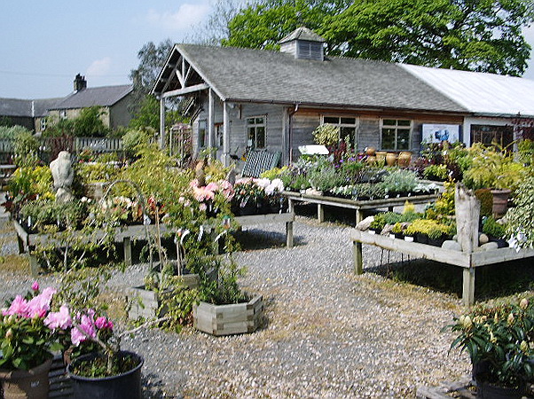
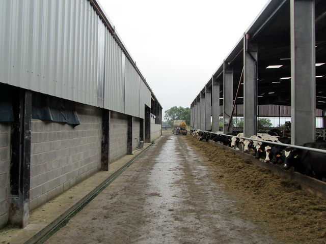
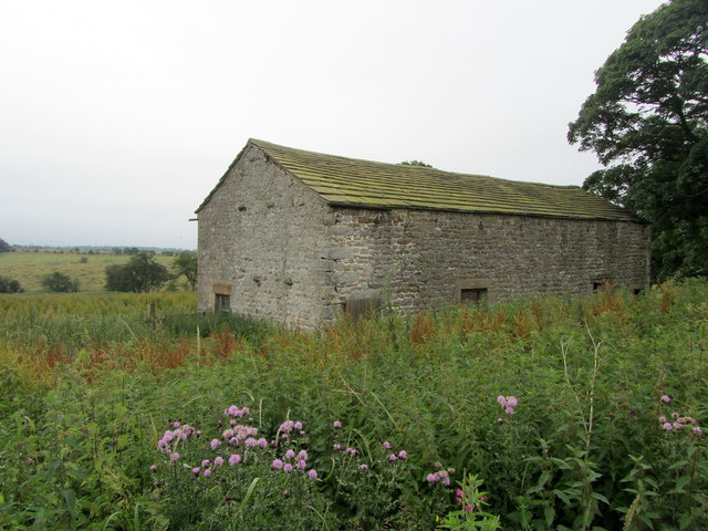
Dark Wood Images

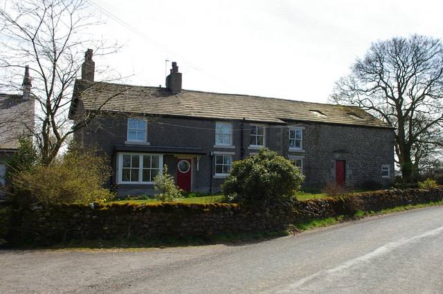
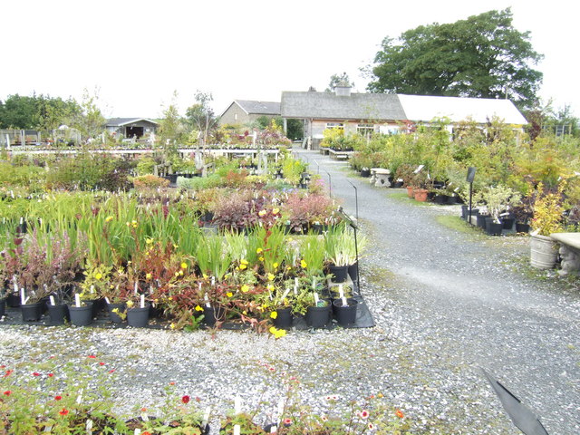
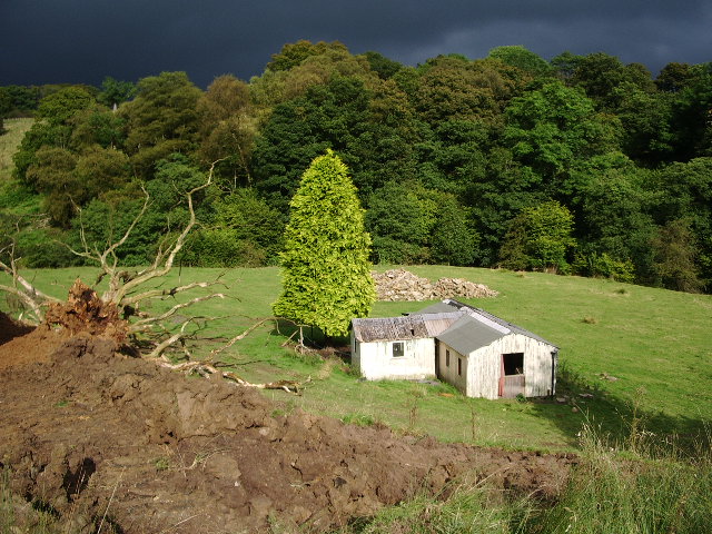
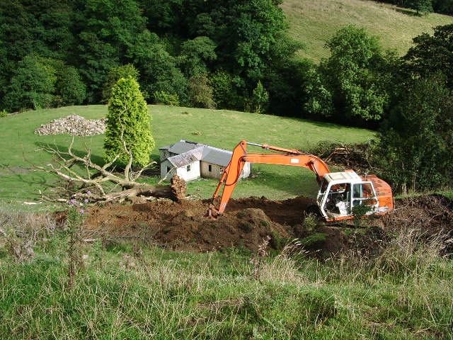
Images are sourced within 2km of 53.974859/-2.3072171 or Grid Reference SD7953. Thanks to Geograph Open Source API. All images are credited.

Ordnance Survey Cut Mark This mark can be found on the wall of a roadside barn at Grunsagill.
The benchmark has a recorded height of 175.6426 metres above sea level.
For more detail see : <span class="nowrap"><a title="https://www.bench-marks.org.uk/bm152220" rel="nofollow ugc noopener" href="https://www.bench-marks.org.uk/bm152220">Link</a><img style="margin-left:2px;" alt="External link" title="External link - shift click to open in new window" src="https://s1.geograph.org.uk/img/external.png" width="10" height="10"/></span>
Ordnance Survey Cut Mark
This mark can be found on the wall of a roadside barn at Grunsagill. The benchmark has a recorded height of 175.6426 metres above sea level. For more detail see : LinkExternal link
Middle Flass Lodge Converted into farmhouse accommodation
Middle Flass Lodge
Converted into farmhouse accommodation
Small service reservoir
Mere Syke Farm Under the reorganized counties of 1974 this house is the last one in Lancashire, being that I was standing in North Yorkshire when I took the photo
Mere Syke Farm
Under the reorganized counties of 1974 this house is the last one in Lancashire, being that I was standing in North Yorkshire when I took the photo
Meadow, Bolton by Bowland Looking towards Calf House Wood
Meadow, Bolton by Bowland
Looking towards Calf House Wood
Woods near Lower Gill, Forest of Bowland A woodland patch of bluebells near Lower Gill, Toss Side, Forest of Bowland.
Woods near Lower Gill, Forest of Bowland
A woodland patch of bluebells near Lower Gill, Toss Side, Forest of Bowland.
Garden Makers Plant Centre At Coars Farm Just over the border in Lancashire, near to Wigglesworth. A nursery that grows most of its own plants.
Garden Makers Plant Centre
At Coars Farm Just over the border in Lancashire, near to Wigglesworth. A nursery that grows most of its own plants.
"Holiday let" The brown gouge in the foreground is the start of the new access road to this "holiday let". After completion a new log chalet will be built. The current building is over 75 years old.
"Holiday let"
The brown gouge in the foreground is the start of the new access road to this "holiday let". After completion a new log chalet will be built. The current building is over 75 years old.
Work in progress New road in the making
Work in progress
New road in the making
Gardenmakers, Coar's Farm, Wigglesworth <span class="nowrap"><a title="http://www.gardenmakers.co.uk/" rel="nofollow ugc noopener" href="http://www.gardenmakers.co.uk/">Link</a><img style="margin-left:2px;" alt="External link" title="External link - shift click to open in new window" src="https://s1.geograph.org.uk/img/external.png" width="10" height="10"/></span>
Gardenmakers, Coar's Farm, Wigglesworth
Lower Monubent Farm
Lower Monubent Farm
Field adjacent Lower Monubent Farm
Lower Monubent Farm Cottage Undergoing refurbishment
Lower Monubent Farm Cottage
Undergoing refurbishment
Track from Lower Monubent Farm
Monubent Lane
Monubent Lane
Dairy Operations at West Thornber Farm The farm has expanded, but there has been no attempt to deal with the four public footpaths that converge at this location.  Hence I became lost and was wandering around the huge outbuildings, eventually finding the exit that was completely buried under nettles.
Dairy Operations at West Thornber Farm
The farm has expanded, but there has been no attempt to deal with the four public footpaths that converge at this location. Hence I became lost and was wandering around the huge outbuildings, eventually finding the exit that was completely buried under nettles.
High Laithe Stone Barn surrounded by nettles, thistles and other rampant vegetation at West Thornber Farm
High Laithe
Stone Barn surrounded by nettles, thistles and other rampant vegetation at West Thornber Farm
Show me another place!

Dark Wood is located at Grid Ref: SD7953 (Lat: 53.974859, Lng: -2.3072171)

Division: West Riding

Administrative County: Lancashire

District: Ribble Valley

Police Authority: Lancashire

What 3 Words

///catapult.quite.nearly. Near Hellifield, North Yorkshire

Nearby Locations

Dark Wood Gisburn Forest

Related Wikis

Manor House, Gisburn Forest

Manor House is an historic building in Gisburn Forest, Lancashire, England. It was built in the early 18th century, but contains a section that is believed...

Paythorne

Paythorne is a small village and civil parish in Ribble Valley, Lancashire, England. It is situated alongside the River Ribble, north-east of Clitheroe...

Gisburn Forest

Gisburn Forest is a civil parish in the Ribble Valley, in Lancashire, England. Mainly lying within the Forest of Bowland Area of Outstanding Natural Beauty...

Wigglesworth

Wigglesworth is a village and civil parish in the Craven district of North Yorkshire, England. The population of the civil parish taken at the 2011 Census...

Tosside

Tosside is a small village on the modern border of North Yorkshire and Lancashire in Northern England. It lies within the Forest of Bowland, and is between...

Bolton-by-Bowland

Bolton-by-Bowland is a village and civil parish in the Ribble Valley district of Lancashire, England. Before 1974, the village was part of Bowland Rural...

St Peter and St Paul's Church, Bolton-by-Bowland

St Peter and St Paul's Church is in Gisburn Road, Bolton-by-Bowland, Lancashire, England. It is an active Anglican parish church in the deanery of Whalley...

Stock Beck

Stock Beck is a minor river in the West Craven area of Pendle, Lancashire (formerly in Yorkshire). It is 8.25 miles (13.27 km) long and has a catchment...

Nearby Amenities

Located within 500m of 53.974859,-2.3072171
Ford: yes
Lat/Long: 53.9750382/-2.300279
The data included in this document is from www.openstreetmap.org. The data is made available under ODbL.

Have you been to Dark Wood?

Leave your review of Dark Wood below (or comments, questions and feedback).