Fulford

Civil Parish in Staffordshire Stafford

England

Fulford

Electricity Substation Serving the nearby Indesit factory at Blythe Bridge
Electricity Substation Credit: John Thorn

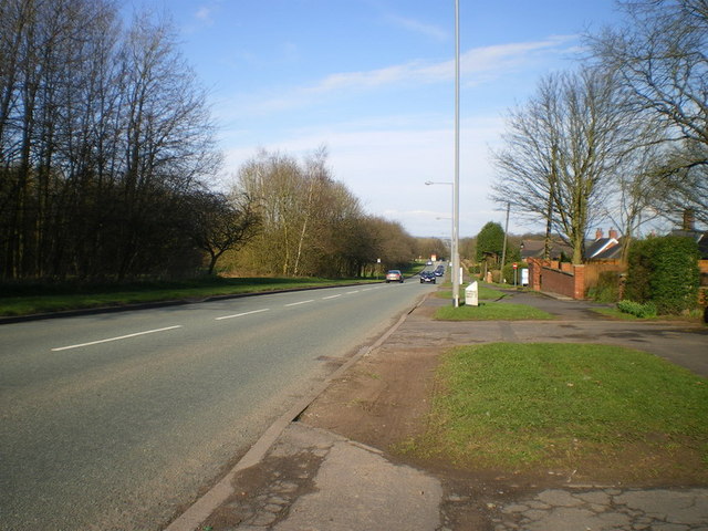
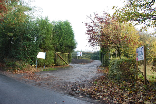
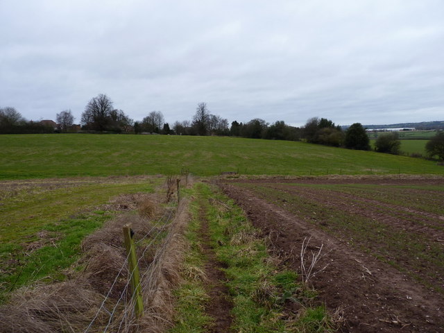
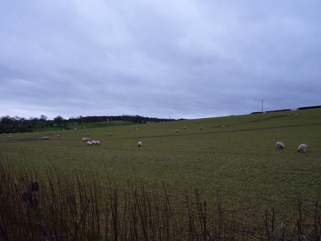
Fulford is a civil parish located in the county of Staffordshire, England. It is situated approximately 8 miles east of the city of Stafford and covers an area of about 4 square miles. The parish is primarily rural, characterized by rolling countryside and picturesque landscapes.

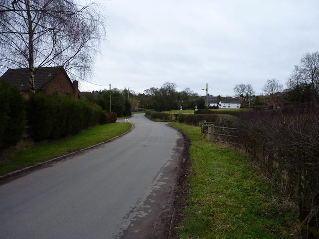
The village of Fulford itself is small and charming, with a population of around 500 residents. It features a mix of traditional and modern architecture, including several historic buildings that add to its character. The centerpiece of the village is St. Nicholas Church, a beautiful medieval structure that dates back to the 12th century.

Despite its small size, Fulford offers a range of amenities for its residents. These include a primary school, a village hall, a post office, and a local pub. The village also has a strong sense of community, with various social and recreational activities organized throughout the year.

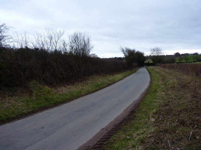
The surrounding countryside provides ample opportunities for outdoor pursuits such as walking, hiking, and cycling. The village is also well-connected to nearby towns and cities, with good transport links ensuring easy access to amenities and employment opportunities.

Fulford is a peaceful and idyllic location, ideal for those seeking a tranquil rural lifestyle. Its close-knit community, beautiful landscapes, and range of amenities make it a desirable place to live for both families and retirees.

If you have any feedback on the listing, please let us know in the comments section below.
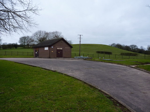
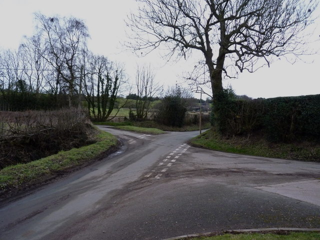
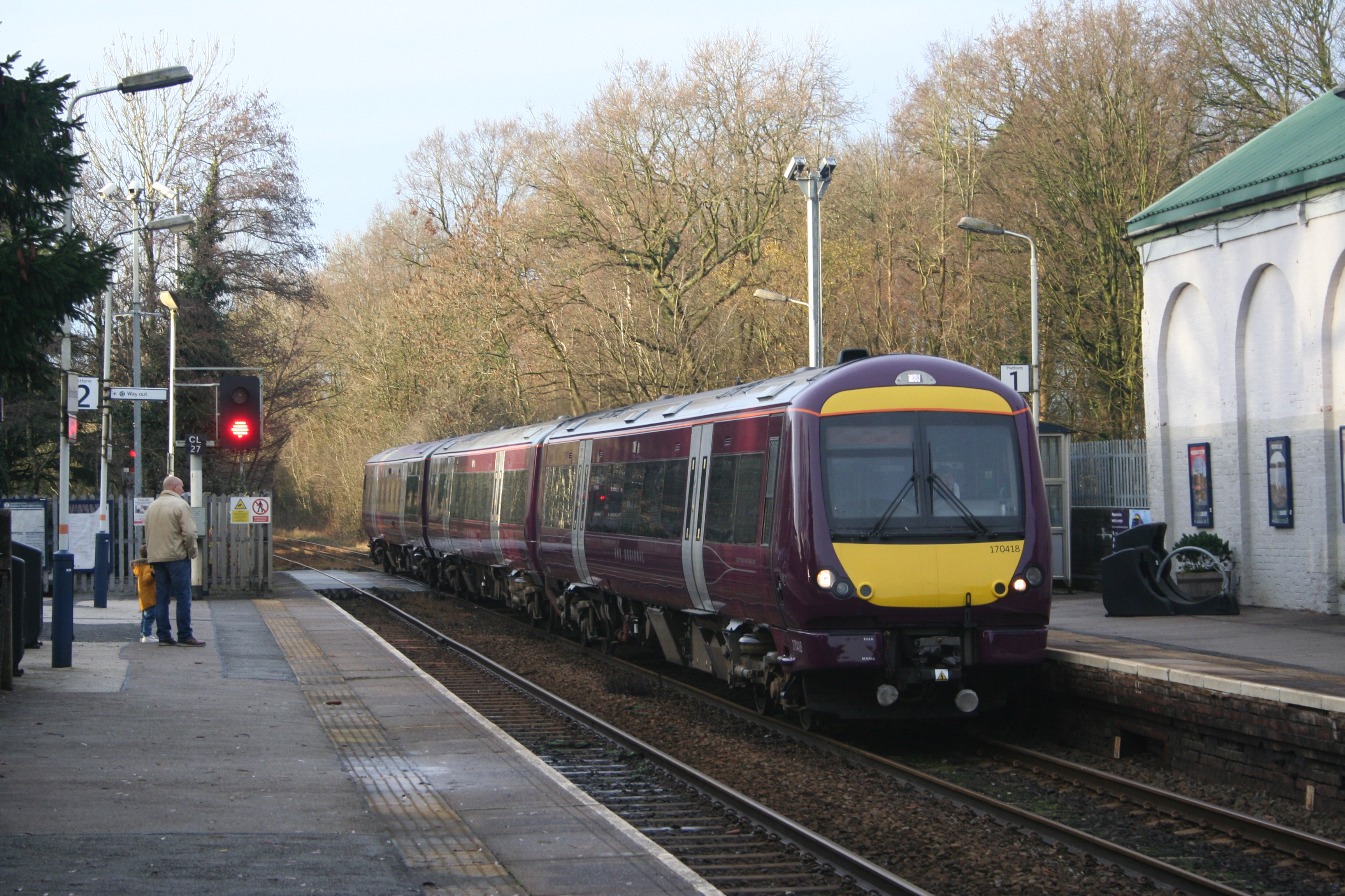
Fulford Images

Images are sourced within 2km of 52.947979/-2.077849 or Grid Reference SJ9438. Thanks to Geograph Open Source API. All images are credited.

Electricity Substation Serving the nearby Indesit factory at Blythe Bridge
Electricity Substation
Serving the nearby Indesit factory at Blythe Bridge
The Meir Heath (East) milepost in its setting That lamppost is situated immediately in front of the old milepost; how insensitive is that?
The Meir Heath (East) milepost in its setting
That lamppost is situated immediately in front of the old milepost; how insensitive is that?
The Meir Heath (East) milepost - partial detail Who in their right mind would plant a lamppost directly in front of the old milepost? Honestly!
The Meir Heath (East) milepost - partial detail
Who in their right mind would plant a lamppost directly in front of the old milepost? Honestly!
The Meir Heath (East) milepost - partial detail Who in their right mind would plant a lamppost directly in front of the old milepost? Honestly! It doesn't make for easy photography...
The Meir Heath (East) milepost - partial detail
Who in their right mind would plant a lamppost directly in front of the old milepost? Honestly! It doesn't make for easy photography...
The Entrance to Mount Nurseries
Country lane near Fulford The lane runs from Stallington towards Moss Gate.
Country lane near Fulford
The lane runs from Stallington towards Moss Gate.
The northern side of Fulford
A footpath leading into Stallington A rural footpath from the church at Fulford, back to Stallington.
A footpath leading into Stallington
A rural footpath from the church at Fulford, back to Stallington.
Sheep in pasture fields near Fulford
Severn Trent's pumping station at Fulford
Crossroads of lanes NW of Fulford
Farm buildings outside Fulford Most of the barns have been (or are in the throes of being) converted to residential use.
Farm buildings outside Fulford
Most of the barns have been (or are in the throes of being) converted to residential use.
A beech stump on the path between Fulford and Stallington Two of the massive beeches alongside this path survive (one is behind me) - the third exists only as this stump.
A beech stump on the path between Fulford and Stallington
Two of the massive beeches alongside this path survive (one is behind me) - the third exists only as this stump.
Stallington Hall Stallington Hall (a.k.a. Stallington Grange) a formerly grand house, which belonged to Sir Smith Child, the MP for North Staffs in the 1850s and West Staffs in the 1870s. The hall was sold to Stoke on Trent City Council in the 1920s, whereupon it was converted to a hospital for the mentally infirm.
Despite the highly parlous state of the building, it remains Listed <span class="nowrap"><a title="http://www.britishlistedbuildings.co.uk/en-468845-stallington-hall-hospital-and-attached-s" rel="nofollow ugc noopener" href="http://www.britishlistedbuildings.co.uk/en-468845-stallington-hall-hospital-and-attached-s">Link</a><img style="margin-left:2px;" alt="External link" title="External link - shift click to open in new window" src="https://s1.geograph.org.uk/img/external.png" width="10" height="10"/></span> The photo was taken by squeezing between a hoarding and the front fence at the site
Stallington Hall
Stallington Hall (a.k.a. Stallington Grange) a formerly grand house, which belonged to Sir Smith Child, the MP for North Staffs in the 1850s and West Staffs in the 1870s. The hall was sold to Stoke on Trent City Council in the 1920s, whereupon it was converted to a hospital for the mentally infirm. Despite the highly parlous state of the building, it remains Listed LinkExternal link The photo was taken by squeezing between a hoarding and the front fence at the site
Housing and play area in Stallington New developments within the former grounds of Stallington Hall, once a country house and more recently a mental hospital. The hall itself is currently derelict.
Housing and play area in Stallington
New developments within the former grounds of Stallington Hall, once a country house and more recently a mental hospital. The hall itself is currently derelict.
The Greyhound Inn - Saverley Green
Saverley Green Road
Saverley Green Road
Bus Stop outside Fulford Village Hall
Show me another place!

Fulford is located at Grid Ref: SJ9438 (Lat: 52.947979, Lng: -2.077849)

Administrative County: Staffordshire

District: Stafford

Police Authority: Staffordshire

What 3 Words

///lyrics.rehearsal.twee. Near Longton, Staffordshire

Nearby Locations

Fulford Dale Fulford

Related Wikis

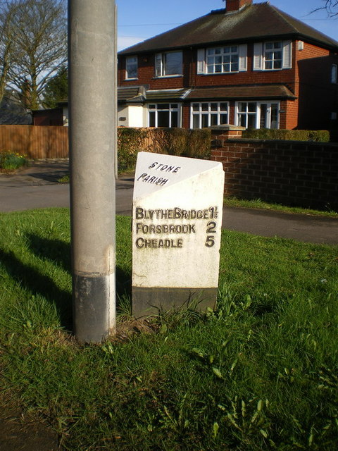
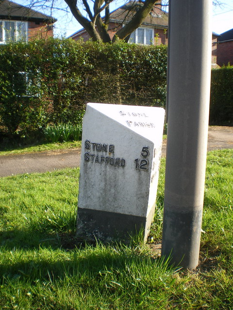
Fulford, Staffordshire

Fulford is a village and civil parish about 5 miles (8 km) north east of Stone, in the Stafford district, in the county of Staffordshire, England. The...

Meir Heath Cricket Club

Meir Heath Cricket Club is a cricket club and ground in Meir Heath, Staffordshire. The first recorded match on the ground was in 1991, when Staffordshire...

Meir K.A. F.C.

Meir King's Arms Football Club was an association football club based in Stoke-on-Trent, England, established in 1972. Originally formed as the Sunday...

Meir Heath

Meir Heath is a village just to the south of Stoke-on-Trent, Staffordshire situated on a hilltop between Meir and Rough Close, 2+1⁄2 miles from Barlaston...

Blythe Bridge railway station

Blythe Bridge railway station in Blythe Bridge, Staffordshire, England, is served by trains on the Crewe to Derby Line; it is also a Community rail line...

Blythe Bridge High School

Blythe Bridge High School is a coeducational secondary school and sixth form located in Blythe Bridge in the English county of Staffordshire.Previously...

Blythe Bridge

Blythe Bridge () is a village in Staffordshire, England, south-east of Stoke-on-Trent. == Etymology == Blythe Bridge is so called as it is built around...

Barlaston and Rough Close Common

Barlaston and Rough Close Common is a local nature reserve, an area of heathland in Staffordshire, England, near Barlaston and about 3 miles (4.8 km) north...

Nearby Amenities

Located within 500m of 52.947979,-2.077849
Addr Housename: Stallington Hall
Lat/Long: 52.9503244/-2.0813626
Power: pole
Lat/Long: 52.9523256/-2.0784767
The data included in this document is from www.openstreetmap.org. The data is made available under ODbL.

Have you been to Fulford?

Leave your review of Fulford below (or comments, questions and feedback).