Fulford Dale

Valley in Staffordshire Stafford

England

Fulford Dale

The Windmill The Windmill pub in Meir Heath, the pub is named after the former windmill which stand nearby <a href="https://www.geograph.org.uk/photo/7509105">SJ9240 : Meir Heath Windmill</a>.
The Windmill Credit: Philip Halling

Fulford Dale, located in Staffordshire, is a picturesque valley that offers visitors a serene and tranquil escape from the hustle and bustle of everyday life. Nestled between rolling hills and lush greenery, this valley is a haven for nature enthusiasts and those seeking a peaceful retreat.

The valley is renowned for its idyllic beauty, with the River Fulford gently flowing through its heart, adding to the charm of the landscape. The surrounding woodlands and meadows are home to a diverse range of flora and fauna, making it a perfect spot for wildlife enthusiasts and photographers.

Fulford Dale is also steeped in history, with archaeological evidence suggesting human occupation dating back to the Neolithic period. The remains of an ancient settlement and burial mounds have been discovered in the area, providing a fascinating glimpse into the valley's past.

For outdoor enthusiasts, Fulford Dale offers ample opportunities for hiking, cycling, and picnicking. There are well-maintained trails that meander through the valley, providing breathtaking views and opportunities to explore the natural beauty of the area.

Visitors can also enjoy fishing in the River Fulford, which is known for its abundance of trout and salmon. The peaceful and tranquil atmosphere of the valley makes it an ideal spot for anglers to relax and enjoy their favorite pastime.

Overall, Fulford Dale in Staffordshire is a hidden gem that offers a peaceful and scenic retreat for nature lovers and history enthusiasts alike. With its stunning landscapes, rich history, and outdoor activities, it is a must-visit destination for anyone seeking a break from the urban grind.

If you have any feedback on the listing, please let us know in the comments section below.
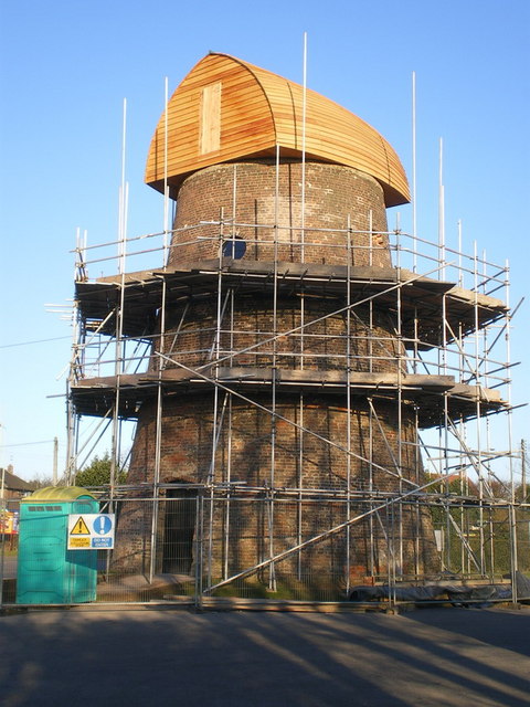
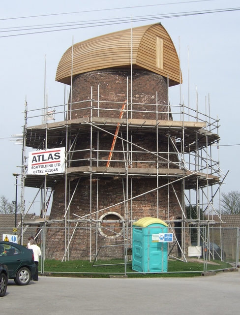
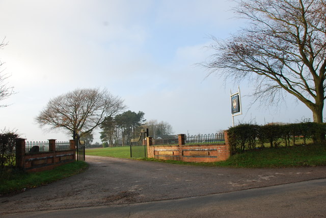
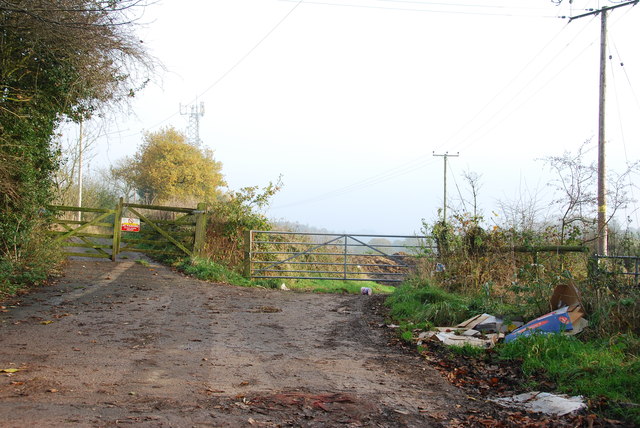
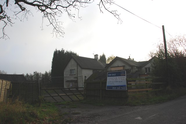
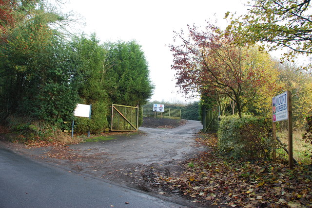
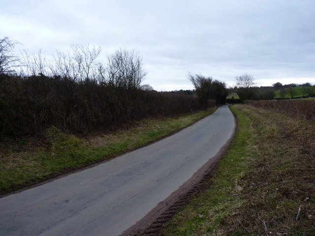
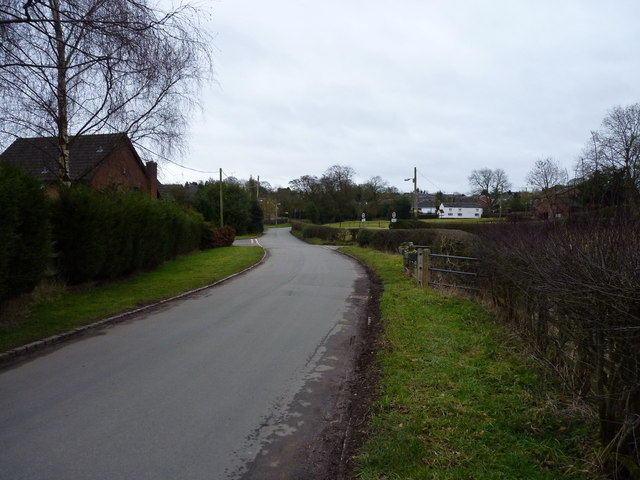
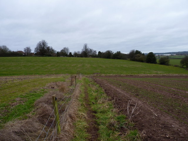
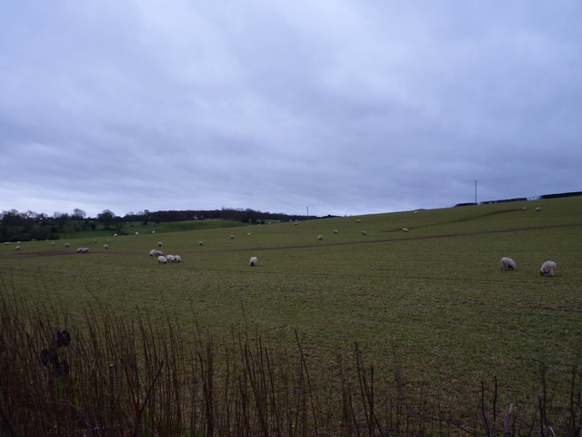
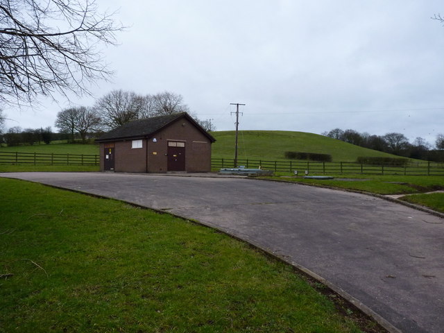
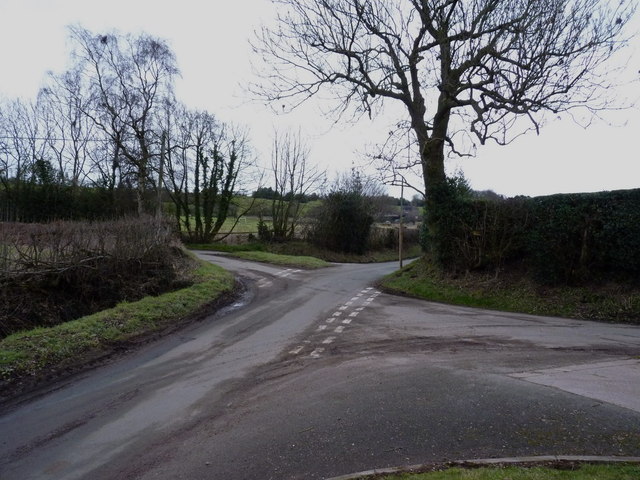
Fulford Dale Images

Images are sourced within 2km of 52.943604/-2.0881285 or Grid Reference SJ9438. Thanks to Geograph Open Source API. All images are credited.

The Windmill The Windmill pub in Meir Heath, the pub is named after the former windmill which stand nearby <a href="https://www.geograph.org.uk/photo/7509105">SJ9240 : Meir Heath Windmill</a>.
The Windmill
The Windmill pub in Meir Heath, the pub is named after the former windmill which stand nearby SJ9240 : Meir Heath Windmill.
B5066 near Fulford
B5066 near Fulford
Old Corn Windmill Tower This Wind Cornmill Tower stands in the carpark of the windmill inn at Meir Heath
Old Corn Windmill Tower
This Wind Cornmill Tower stands in the carpark of the windmill inn at Meir Heath
Meir Heath windmill The shell of this windmill was rescued and stabilised from a dilapidated state in 2002, when the concrete cap was repaired and the iron bands around the brickwork were restored. A local group was formed at that time to try and look after it. The mill stands in the carpark of a pub called, with great imagination, The Windmill.
Meir Heath windmill
The shell of this windmill was rescued and stabilised from a dilapidated state in 2002, when the concrete cap was repaired and the iron bands around the brickwork were restored. A local group was formed at that time to try and look after it. The mill stands in the carpark of a pub called, with great imagination, The Windmill.
Restoration work underway on the Meir Heath windmill Yes - it does look exactly like they've deposited a small boat upside-down on the top. 
Update July 2011:- The plan is to make the mill waterproof, and so a Lime slurry waterproof render, suggested by the Stafford Borough Conservation Officer, will be eventually put onto the windmill tower. The Guttering will be aluminium and a soakaway French drain will be installed around the base. Thanks to Gill Swift, the Preservation Group Project Officer, for this detail.

The same mill structure a few months previously <a href="https://www.geograph.org.uk/photo/1403041">SJ9240 : Meir Heath windmill</a>
Restoration work underway on the Meir Heath windmill
Yes - it does look exactly like they've deposited a small boat upside-down on the top. Update July 2011:- The plan is to make the mill waterproof, and so a Lime slurry waterproof render, suggested by the Stafford Borough Conservation Officer, will be eventually put onto the windmill tower. The Guttering will be aluminium and a soakaway French drain will be installed around the base. Thanks to Gill Swift, the Preservation Group Project Officer, for this detail. The same mill structure a few months previously SJ9240 : Meir Heath windmill
Meir Heath Windmill restoration The wood has weathered a little in the last month since <a href="https://www.geograph.org.uk/photo/1745214">SJ9240 : Restoration work underway on the Meir Heath windmill</a>.

If the Meir Heath Windmill Preservation Group can raise £20000 they plan to waterproof render the walls and repair the guttering. Plans are to open this as an information centre. 

The Grade 2 listed mill was built in the 18th century. It remained in use until the late 1890s and was later a water tower. The sails were removed during service as a wartime observation post by the Home Guard.
Meir Heath Windmill restoration
The wood has weathered a little in the last month since SJ9240 : Restoration work underway on the Meir Heath windmill. If the Meir Heath Windmill Preservation Group can raise £20000 they plan to waterproof render the walls and repair the guttering. Plans are to open this as an information centre. The Grade 2 listed mill was built in the 18th century. It remained in use until the late 1890s and was later a water tower. The sails were removed during service as a wartime observation post by the Home Guard.
Driveway to Moddershall Cricket Club
The Unpleasant side of the Country
For Sale, Former Residential Care Home This old care home has seen better days, it looks semi derelict.
For Sale, Former Residential Care Home
This old care home has seen better days, it looks semi derelict.
The Entrance to Mount Nurseries
Country lane near Fulford The lane runs from Stallington towards Moss Gate.
Country lane near Fulford
The lane runs from Stallington towards Moss Gate.
The northern side of Fulford
A footpath leading into Stallington A rural footpath from the church at Fulford, back to Stallington.
A footpath leading into Stallington
A rural footpath from the church at Fulford, back to Stallington.
Sheep in pasture fields near Fulford
Severn Trent's pumping station at Fulford
Crossroads of lanes NW of Fulford
Farm buildings outside Fulford Most of the barns have been (or are in the throes of being) converted to residential use.
Farm buildings outside Fulford
Most of the barns have been (or are in the throes of being) converted to residential use.
A beech stump on the path between Fulford and Stallington Two of the massive beeches alongside this path survive (one is behind me) - the third exists only as this stump.
A beech stump on the path between Fulford and Stallington
Two of the massive beeches alongside this path survive (one is behind me) - the third exists only as this stump.
Show me another place!

Fulford Dale is located at Grid Ref: SJ9438 (Lat: 52.943604, Lng: -2.0881285)

Administrative County: Staffordshire

District: Stafford

Police Authority: Staffordshire

What 3 Words

///ombudsman.stadium.boot. Near Longton, Staffordshire

Nearby Locations

Fulford Fulford Dale

Related Wikis

Meir K.A. F.C.

Meir King's Arms Football Club was an association football club based in Stoke-on-Trent, England, established in 1972. Originally formed as the Sunday...

Meir Heath Cricket Club

Meir Heath Cricket Club is a cricket club and ground in Meir Heath, Staffordshire. The first recorded match on the ground was in 1991, when Staffordshire...

Fulford, Staffordshire

Fulford is a village and civil parish about 5 miles (8 km) north east of Stone, in the Stafford district, in the county of Staffordshire, England. The...

Meir Heath

Meir Heath is a village just to the south of Stoke-on-Trent, Staffordshire situated on a hilltop between Meir and Rough Close, 2+1⁄2 miles from Barlaston...

Nearby Amenities

Located within 500m of 52.943604,-2.0881285
The data included in this document is from www.openstreetmap.org. The data is made available under ODbL.

Have you been to Fulford Dale?

Leave your review of Fulford Dale below (or comments, questions and feedback).