Foulsham
Civil Parish in Norfolk Broadland
England
Foulsham
Foulsham is a civil parish located in the county of Norfolk, England. Situated about 19 miles northwest of the city of Norwich, it falls within the district of Broadland. The parish encompasses a small village and its surrounding rural area, covering a total land area of approximately 17.9 square kilometers.
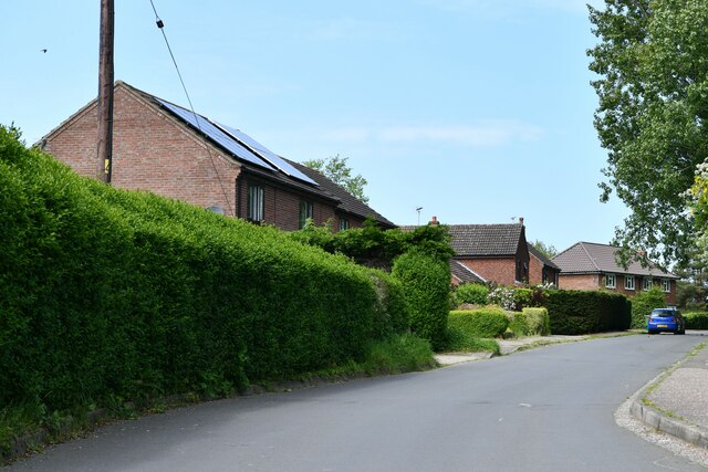
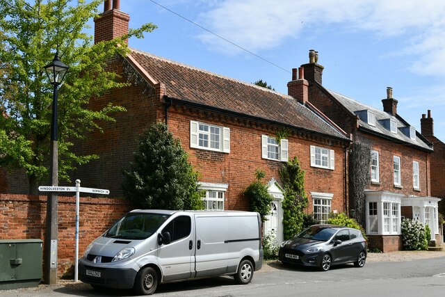
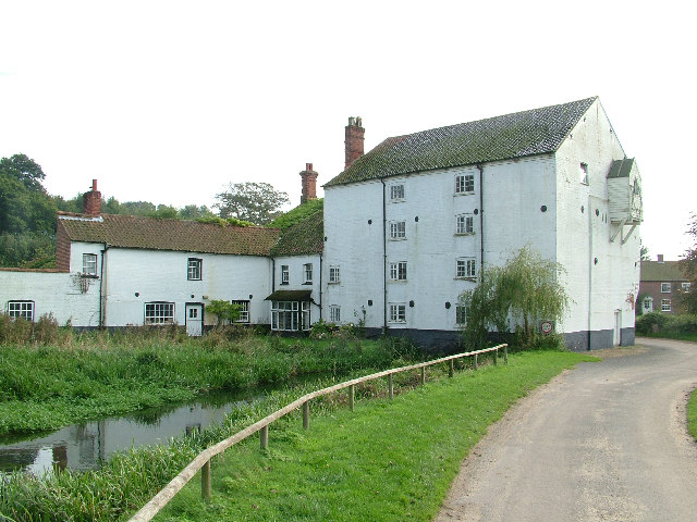
The village of Foulsham has a population of around 1,000 residents. It is characterized by its picturesque setting, with charming thatched-roof cottages and historic buildings lining the streets. The village is known for its strong sense of community and friendly atmosphere.
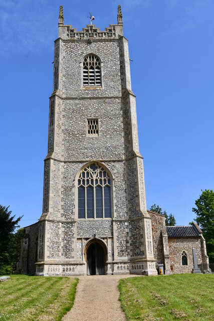
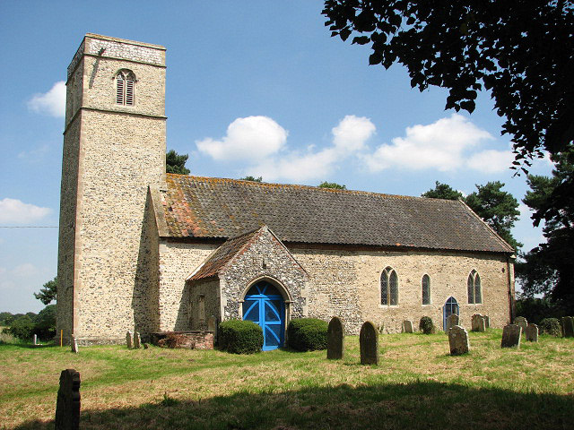
Foulsham offers a range of amenities to its residents, including a primary school, a post office, a village hall, and a local pub. The village is also home to the Church of St. Mary, a beautiful medieval church that dates back to the 14th century.
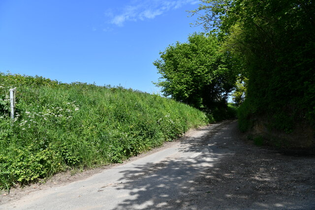
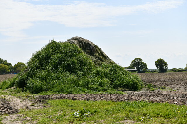
The surrounding countryside of Foulsham is largely agricultural, with farmland and fields dominating the landscape. The area is known for its fertile soil, which supports various crops and livestock farming. The countryside offers plenty of opportunities for outdoor activities, such as walking, cycling, and nature exploration.
Overall, Foulsham is a tranquil and idyllic rural parish, offering a peaceful and close-knit community, while still providing access to essential amenities and beautiful natural surroundings.
If you have any feedback on the listing, please let us know in the comments section below.
Foulsham Images
Images are sourced within 2km of 52.783912/1.020221 or Grid Reference TG0324. Thanks to Geograph Open Source API. All images are credited.


Foulsham is located at Grid Ref: TG0324 (Lat: 52.783912, Lng: 1.020221)
Administrative County: Norfolk
District: Broadland
Police Authority: Norfolk
What 3 Words
///lunch.profited.juices. Near Foulsham, Norfolk
Nearby Locations
Related Wikis

Foulsham
Foulsham is a village and civil parish in the English county of Norfolk. The village is located 7.40 miles (11.91 km) north-east of Dereham and 16 miles...

Foulsham railway station
Foulsham was a railway station in North Norfolk. It served the village of Foulsham, and was closed to passengers on 15 September 1952. The line from Foulsham...

Bexfield
Bexfield is a village near Foulsham in Norfolk, England.

Guestwick railway station
Guestwick railway station is a former station in Norfolk, England. It was constructed by the Midland and Great Northern Joint Railway in 1882 on the line...
Themelthorpe
Themelthorpe is a civil parish in the English county of Norfolk, 3 miles (4.8 km) north west of Reepham. It covers an area of 2.69 km2 (1.04 sq mi) and...

Twyford, Norfolk
Twyford is a hamlet and civil parish in the English county of Norfolk. It is situated on the A1067 road, some 12 km (7.5 mi) south-east of the town of...
Bintree
Bintree is a village and civil parish in Norfolk, England, about nine miles (14 km) south-east of Fakenham. According to the 2001 census it had a population...

Foxley Wood
Foxley Wood is a nature reserve in Foxley, Norfolk, England, the largest ancient woodland and coppice in Norfolk. The Norfolk Wildlife Trust, which manages...
Nearby Amenities
Located within 500m of 52.783912,1.020221Have you been to Foulsham?
Leave your review of Foulsham below (or comments, questions and feedback).