Foulsham

Settlement in Norfolk Broadland

England

Foulsham

Bintree, Algy's Farm Shop: 'Christmas tree' plantation
Bintree, Algy's Farm Shop: 'Christmas tree' plantation Credit: Michael Garlick

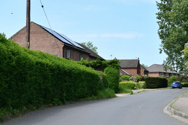
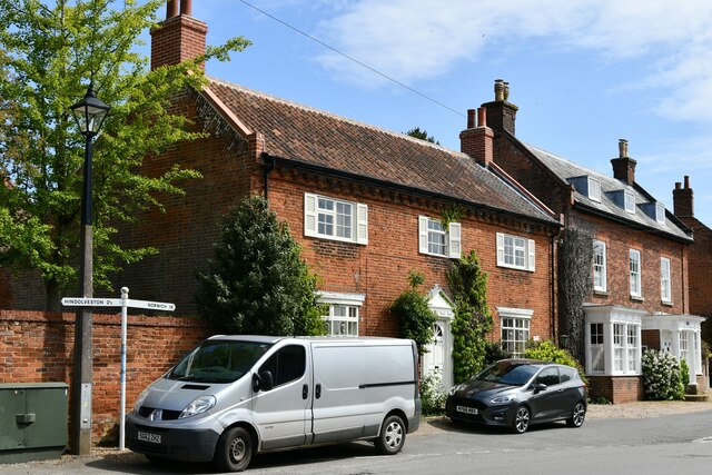
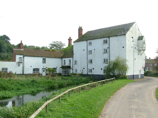
Foulsham is a small village located in the county of Norfolk, England. Situated approximately 18 miles northwest of Norwich, it falls within the district of Broadland. The village lies in a picturesque rural setting, surrounded by open fields and rolling countryside.

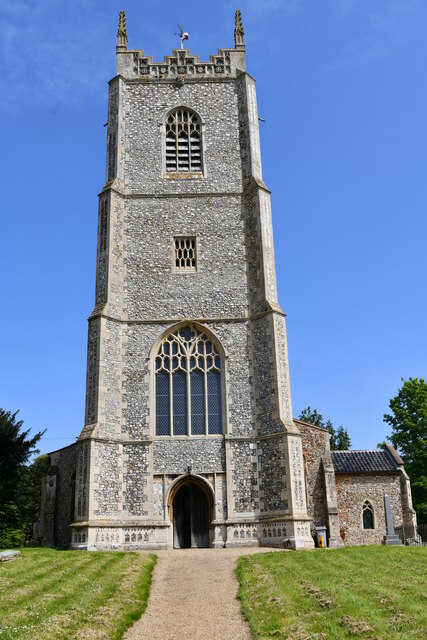
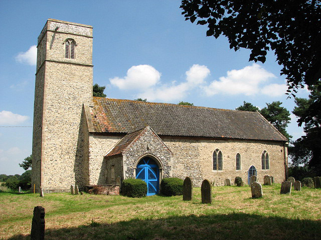
With a population of around 900 residents, Foulsham has a close-knit community feel. The village is home to a number of amenities, including a post office, a village hall, and a primary school. The historic parish church, St. Mary's, is a prominent feature of the village, known for its beautiful architecture and stained glass windows.

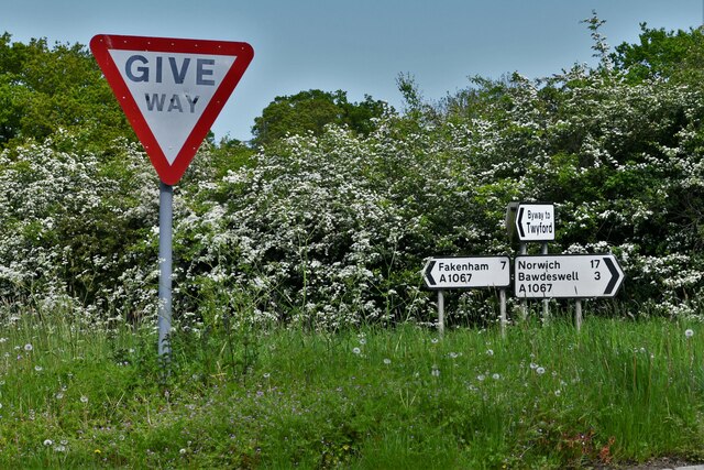
The village is well-connected to nearby towns and cities by road, with the A1067 passing through Foulsham, providing easy access to Norwich and the market town of Fakenham. The village also benefits from a regular bus service, allowing residents to travel to surrounding areas.

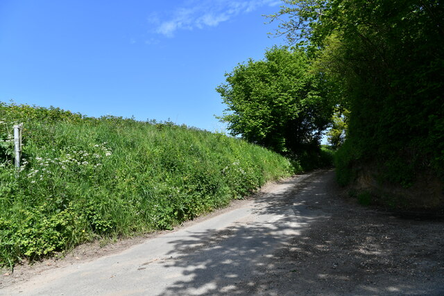
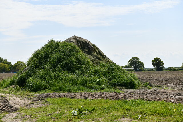
Foulsham is surrounded by picturesque countryside, making it an ideal location for outdoor enthusiasts. The village is located close to several nature reserves, such as Foxley Wood and Bintree Wood, which offer opportunities for walking, birdwatching, and exploring the local flora and fauna.

Overall, Foulsham is a charming village that offers a peaceful and picturesque setting, with a strong sense of community and a range of amenities for its residents.

If you have any feedback on the listing, please let us know in the comments section below.

Foulsham Images

Images are sourced within 2km of 52.783804/1.011744 or Grid Reference TG0324. Thanks to Geograph Open Source API. All images are credited.

Bintree, Algy's Farm Shop: 'Christmas tree' plantation
Bintree: Algy's Farm Shop
Bintree Village Sign
Twyford: Ploughed field
Twyford: Road signs
Twyford: Road signs
Twyford: Wood Norton Road
Foulsham: Bexfield Drive
Foulsham: Market Hill
Foulsham, Holy Innocents Church: Western aspect
Foulsham, Mill Lane
Foulsham, Mill Lane
Foulsham: Ploughed field and a heap of soil becoming green
Foulsham: Guestwick Road
Foulsham: A grassy, triangular island in Guestwick Road
Foulsham, Holy Innocents Church: West doorway left spandrel
Foulsham, Holy Innocents Church: West doorway right spandrel
Foulsham, Holy Innocents Church: Nave ceiling plasterwork
Foulsham, Holy Innocents Church: Victorian font in c15th style 1
Foulsham, Holy Innocents Church: Victorian font in c15th style 2
Show me another place!

Foulsham is located at Grid Ref: TG0324 (Lat: 52.783804, Lng: 1.011744)

Administrative County: Norfolk

District: Broadland

Police Authority: Norfolk

What 3 Words

///dangerously.underline.intruded. Near Foulsham, Norfolk

Related Wikis

Foulsham

Foulsham is a village and civil parish in the English county of Norfolk. The village is located 7.40 miles (11.91 km) north-east of Dereham and 16 miles...

Foulsham railway station

Foulsham was a railway station in North Norfolk. It served the village of Foulsham, and was closed to passengers on 15 September 1952. The line from Foulsham...

Bexfield

Bexfield is a village near Foulsham in Norfolk, England.

Twyford, Norfolk

Twyford is a hamlet and civil parish in the English county of Norfolk. It is situated on the A1067 road, some 12 km (7.5 mi) south-east of the town of...
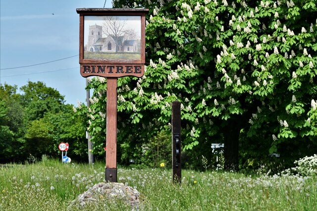
Bintree

Bintree is a village and civil parish in Norfolk, England, about nine miles (14 km) south-east of Fakenham. According to the 2001 census it had a population...

Guestwick railway station

Guestwick railway station is a former station in Norfolk, England. It was constructed by the Midland and Great Northern Joint Railway in 1882 on the line...

Themelthorpe

Themelthorpe is a civil parish in the English county of Norfolk, 3 miles (4.8 km) north west of Reepham. It covers an area of 2.69 km2 (1.04 sq mi) and...

Foxley

Foxley is a village and civil parish in Norfolk, England. The village is 6 miles (10 km) north-east of Dereham and 15 miles (24 km) north-west of Norwich...

Nearby Amenities

Located within 500m of 52.783804,1.011744
Bus Stop
Post Office
Naptan AtcoCode: 2900F151
Naptan Bearing: NE
Naptan BusStopType: CUS
Naptan Indicator: adj
Naptan Locality: Foulsham
Naptan NaptanCode: nfoaptdj
Naptan Street: Station Road
Naptan Verified: no
Public Transport: platform
Source: naptan_import
Lat/Long: 52.7818403/1.0106943
Bus Stop
post office, opp
Naptan AtcoCode: 2900F152
Naptan Bearing: S
Naptan CommonName: post office
Naptan Indicator: opp
Naptan Landmark: post office
Naptan Locality: Foulsham
Naptan NaptanCode: nfoaptdm
Naptan ShortCommonName: post office
Naptan Street: Station Road
Naptan Verified: no
Source: naptan_import
Lat/Long: 52.7816066/1.010693
Bexfield Drive, adj
Naptan AtcoCode: 2900F153
Naptan Bearing: E
Naptan BusStopType: CUS
Naptan CommonName: Bexfield Drive
Naptan Indicator: adj
Naptan Landmark: Bexfield Drive
Naptan Locality: Foulsham
Naptan NaptanCode: nfoaptdp
Naptan ShortCommonName: Bexfield Drive
Naptan Street: Guist Road
Naptan Verified: no
Source: naptan_import
Lat/Long: 52.7851334/1.005315
Bexfield Drive, opp
Naptan AtcoCode: 2900F154
Naptan Bearing: W
Naptan BusStopType: CUS
Naptan CommonName: Bexfield Drive
Naptan Indicator: opp
Naptan Landmark: Bexfield Drive
Naptan Locality: Foulsham
Naptan NaptanCode: nfoaptdt
Naptan ShortCommonName: Bexfield Drive
Naptan Street: Guist Road
Naptan Verified: no
Source: naptan_import
Lat/Long: 52.7850889/1.0049411
Foulsham
Place: village
Lat/Long: 52.7839893/1.0119665
Turning Circle
Lat/Long: 52.7807578/1.0087929
Kerb: flush
Lat/Long: 52.7815296/1.0091124
Give Way
Direction: forward
Lat/Long: 52.7842869/1.0120844
Bexfield
Place: locality
Lat/Long: 52.7859883/1.0055807
Post Box
Collection Times: Mo-Fr 16:15; Sa 10:45
Operator: Royal Mail
Operator Wikidata: Q638098
Post Box Mounting: pier
Post Box Type: lamp
Ref: NR20 2050
Royal Cypher: EIIR
Royal Cypher Wikidata: Q33102113
Lat/Long: 52.7817089/1.0108633
The Village Stores
Addr Housenumber: 33
Addr Postcode: NR20 5RT
Addr Street: High Street
Addr Village: Foulsham
Fhrs Id: 1607352
Paypoint: yes
Shop: convenience
Source Addr: FHRS Open Data
Lat/Long: 52.7835226/1.0110859
Pub
The Queen's Head
Addr Housenumber: 2
Addr Postcode: NR20 5AD
Addr Street: High Street
Fhrs Id: 1630879
Url: http://www.thequeenshead-foulsham.co.uk/
Lat/Long: 52.7818061/1.0110698
Post Box
Collection Times: Mo-Fr 09:00; Sa 07:00
Operator: Royal Mail
Operator Wikidata: Q638098
Post Box Mounting: brick_wall
Post Box Type: wall
Ref: NR20 2073D
Royal Cypher: VR
Royal Cypher Wikidata: Q33102356
Lat/Long: 52.7838847/1.0123917
Booth: K6
Defibrillator Location: inside red phone box, Foulsham
Disused Amenity: telephone
Fixme: resurvey
Man Made: telephone_box
Note: Has an AED inside, but with a note saying it's not currentrly operational
Website: https://foulshampc.wixsite.com/home/defibrillator
Lat/Long: 52.782019/1.010933
Historic: memorial
Memorial: war_memorial
Source: Bing
Lat/Long: 52.7840648/1.0120146
The Queen's Head
Capacity: 5
Phone: +44 1362683339
Tourism: camp_site
Lat/Long: 52.7819122/1.0121813
Bench
Backrest: yes
Material: plastic
Seats: 3
Lat/Long: 52.7854311/1.0073744
Leisure: playground
Lat/Long: 52.7854769/1.0071089
Barrier: kissing_gate
Bicycle: no
Foot: yes
Lat/Long: 52.7833611/1.0162928
Bus Stop
Lat/Long: 52.7849872/1.0063056
Telephone
Booth: K6
Covered: booth
Lat/Long: 52.7851092/1.0060717
Post Box
Collection Times: Mo-Fr 09:00; Sa 07:00
Operator: Royal Mail
Operator Wikidata: Q638098
Post Box Mounting: brick_pillar
Post Box Type: wall
Ref: NR20 2074
Royal Cypher: VR
Royal Cypher Wikidata: Q33102356
Lat/Long: 52.7851092/1.0061012
Bus Stop
Lat/Long: 52.7850882/1.0061227
Entrance: yes
Lat/Long: 52.7848347/1.0126326
Entrance: main
Lat/Long: 52.7847484/1.0127972
Entrance: yes
Lat/Long: 52.7802749/1.0102106
Entrance: main
Lat/Long: 52.7803703/1.0100453
Give Way
Lat/Long: 52.7844417/1.0120022
Give Way
Direction: backward
Lat/Long: 52.7839434/1.0121891
Foulsham
Colour: black
Inscription: 1770
Man Made: village_sign
Material: metal
Lat/Long: 52.7841574/1.0120082
Give Way
Direction: forward
Lat/Long: 52.7838877/1.0117544
Post Office
Foulsham Post Office
Addr City: Dereham
Addr Housename: New Frost Hall
Addr Postcode: NR20 5RW
Addr Street: Claypit Road
Addr Village: Foulsham
Brand: Post Office
Brand Wikidata: Q1783168
Fixme: check location in hall
Opening Hours: Tu 12:30-15:30; Th 08:30-11:30
Ref Pol Id: 123789
Source: pol_branch_list_2018-01
Url: http://newfrosthallfoulsham.co.uk/post-office/
Lat/Long: 52.7795095/1.0124291
Entrance: main
Wheelchair: yes
Lat/Long: 52.7795338/1.0123586
Leisure: picnic_table
Lat/Long: 52.7793772/1.0120672
Bench
Lat/Long: 52.7817026/1.0107925
The data included in this document is from www.openstreetmap.org. The data is made available under ODbL.

Have you been to Foulsham?

Leave your review of Foulsham below (or comments, questions and feedback).