Forncett
Civil Parish in Norfolk South Norfolk
England
Forncett
Forncett is a civil parish located in the county of Norfolk, England. Situated approximately 13 miles south of the county town of Norwich, it covers an area of around 7 square miles. The parish is made up of the two villages of Forncett St. Mary and Forncett St. Peter, along with several smaller hamlets.
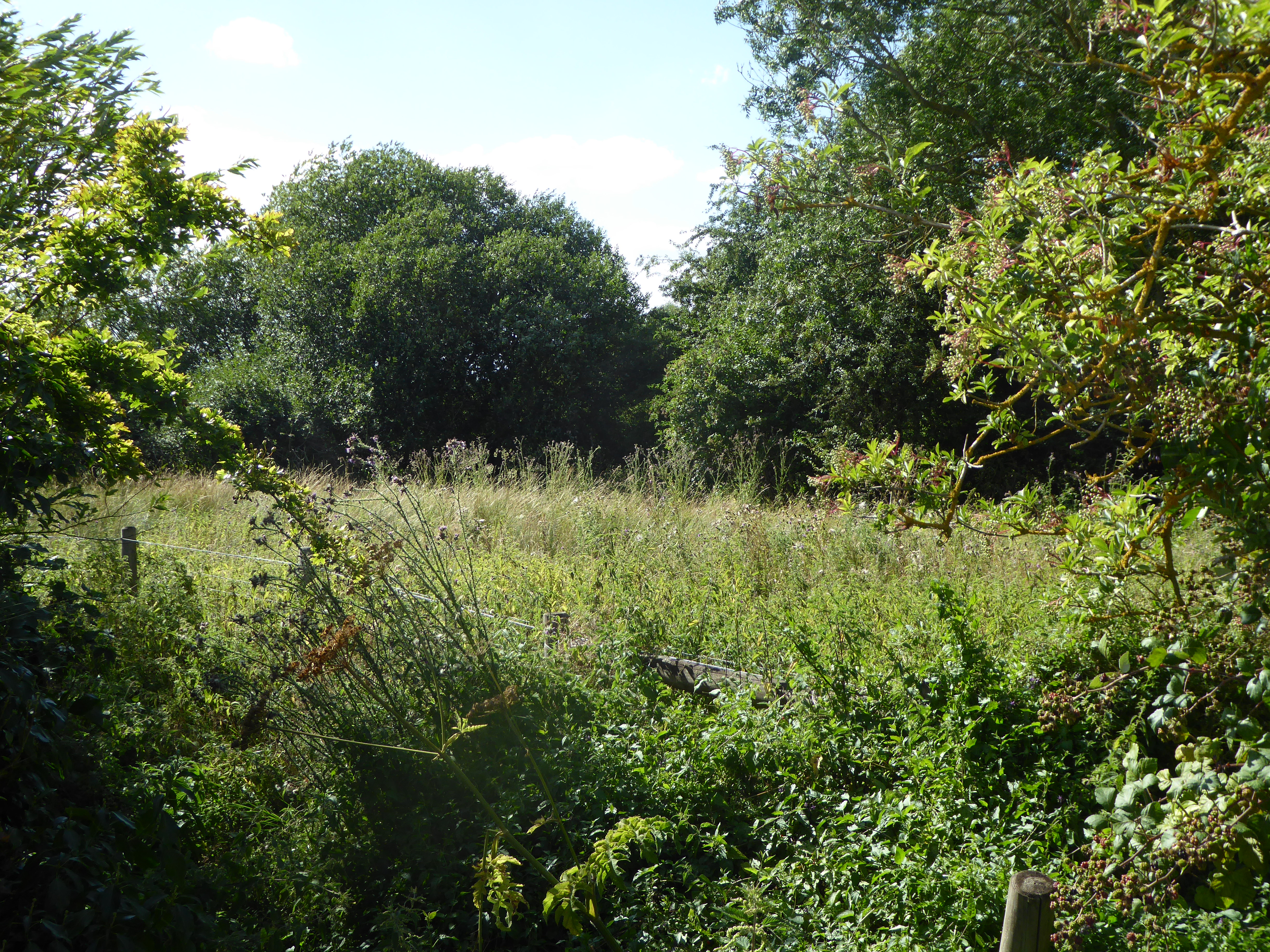
The area is known for its picturesque countryside, with rolling hills and expansive farmlands dominating the landscape. The villages themselves are characterized by their traditional architecture, featuring a mix of historic thatched cottages and more modern houses.
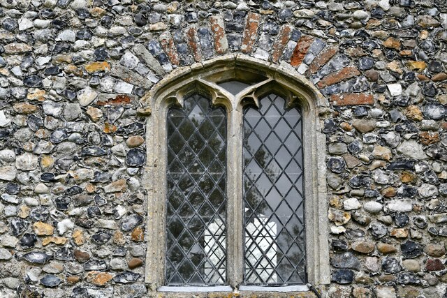
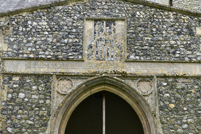
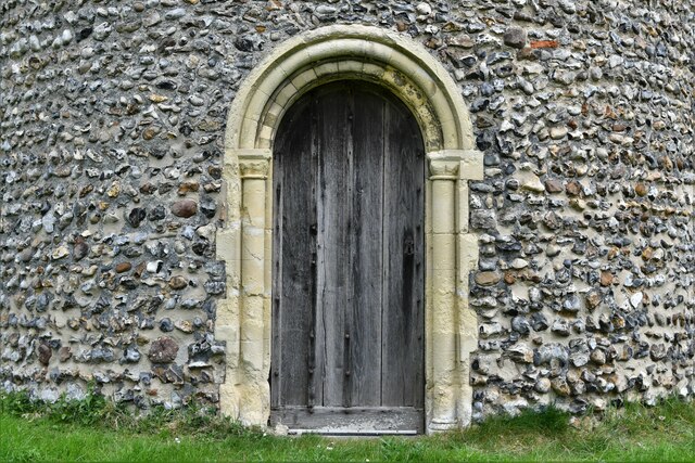
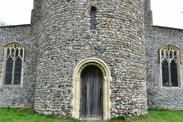
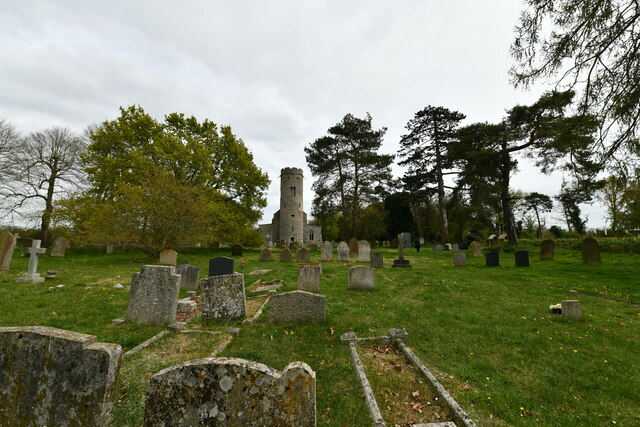
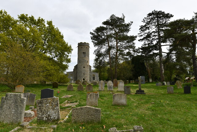
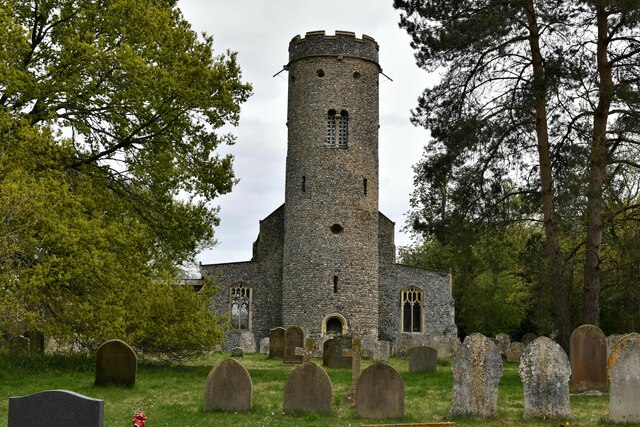
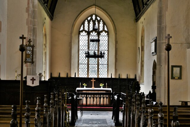
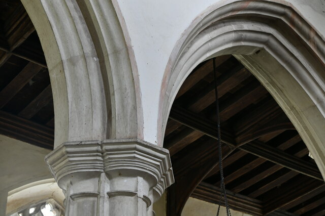
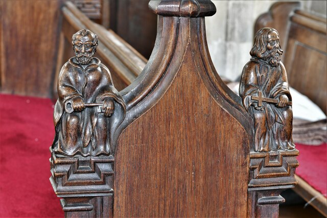
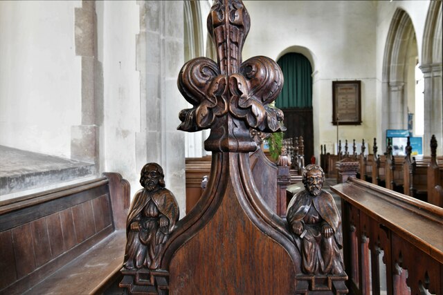
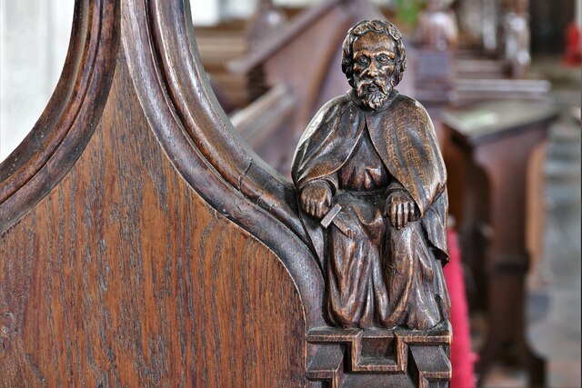
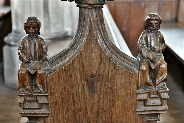
Forncett has a rich history, dating back to Roman times, and evidence of Roman settlements and artifacts have been discovered in the area. The parish also played a significant role during the medieval period, with the construction of two churches, St. Mary's and St. Peter's, which still stand today as historical landmarks.
Despite its rural setting, Forncett is well-connected to nearby towns and cities. The A140 road runs through the parish, providing easy access to Norwich and the wider Norfolk area. The villages also have regular bus services, allowing residents to travel to surrounding towns for work, shopping, or leisure activities.
In terms of amenities, Forncett offers a range of facilities to its residents. These include a primary school, a village hall, and a pub, providing a sense of community and offering social opportunities for locals.
Overall, Forncett is a tranquil and picturesque civil parish, offering a blend of historical charm and modern conveniences to its residents.
If you have any feedback on the listing, please let us know in the comments section below.
Forncett Images
Images are sourced within 2km of 52.492622/1.170343 or Grid Reference TM1593. Thanks to Geograph Open Source API. All images are credited.

Forncett is located at Grid Ref: TM1593 (Lat: 52.492622, Lng: 1.170343)
Administrative County: Norfolk
District: South Norfolk
Police Authority: Norfolk
What 3 Words
///yacht.passions.target. Near Long Stratton, Norfolk
Nearby Locations
Related Wikis
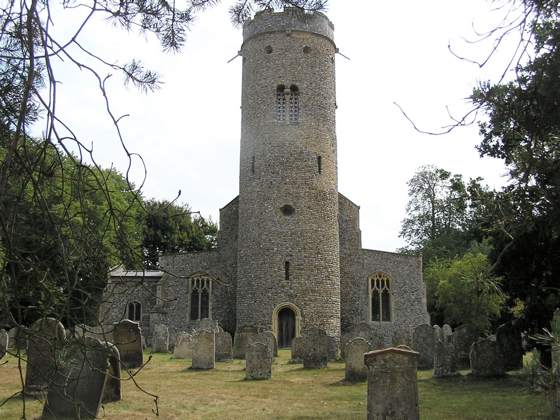
St Peter's Church, Forncett
St Peter's is one of seven churches in the parish of Upper Tas Valley All Saints in south Norfolk, ten miles south of Norwich, UK. The full name is St...
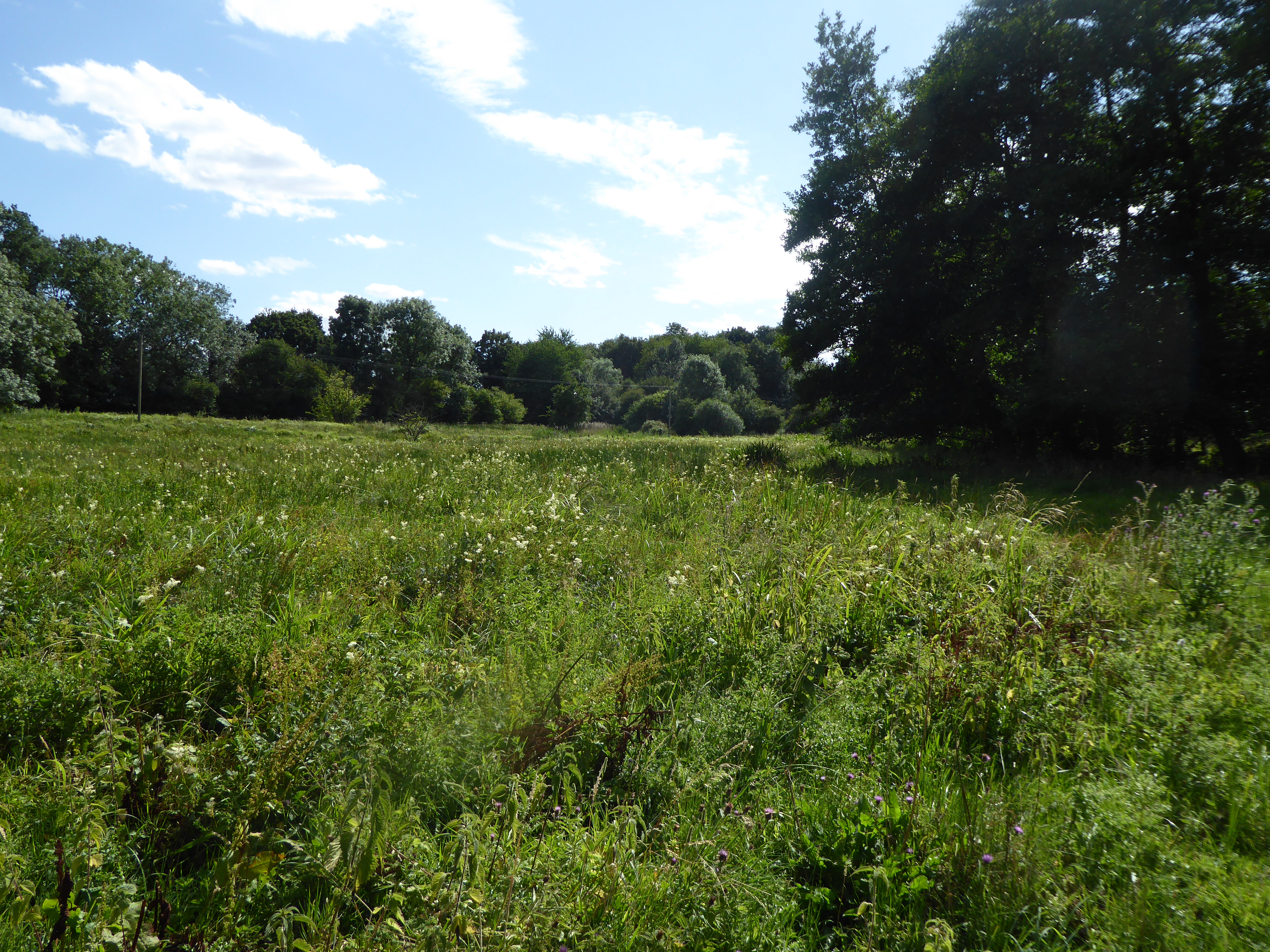
Forncett Meadows
Forncett Meadows is a 5.2-hectare (13-acre) biological Site of Special Scientific Interest west of Long Stratton in Norfolk.This site in the valley of...
Forncett
Forncett is a civil parish in the English county of Norfolk. It covers an area of 10.76 km2 (4.15 sq mi) and had a population of 1,000 in 381 households...
Aslacton Parish Land
Aslacton Parish Land is a 4.4-hectare (11-acre) biological Site of Special Scientific Interest west of Long Stratton in Norfolk.This site has wet and dry...
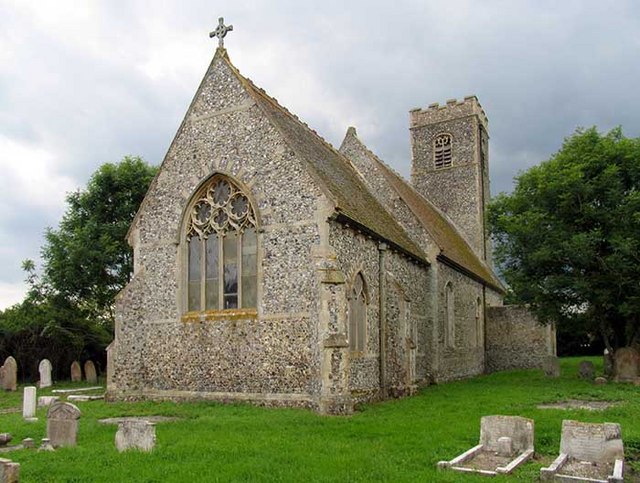
Forncett St Mary
Forncett St Mary is a village and former civil parish, now in the parish of Forncett, in the South Norfolk district, in the county of Norfolk, England...

Aslacton
Aslacton is a village and civil parish in the English county of Norfolk. It is situated between Norwich and Diss, and is near Great Moulton. The closest...

Forncett railway station
Forncett railway station was a railway station in Forncett, South Norfolk located 104 miles from London Liverpool Street. It was opened in 1849 when Norwich...

Tacolneston
Tacolneston () is a village and civil parish in the South Norfolk District of Norfolk with a population of around 700, measured at the 2011 Census as a...
Nearby Amenities
Located within 500m of 52.492622,1.170343Have you been to Forncett?
Leave your review of Forncett below (or comments, questions and feedback).