Formby
Civil Parish in Lancashire Sefton
England
Formby

Formby is a civil parish located in the county of Lancashire, England. Situated on the coast of the Irish Sea, it lies approximately 13 miles north of the city of Liverpool. The parish covers an area of about 6.5 square miles and has a population of around 25,000 people.
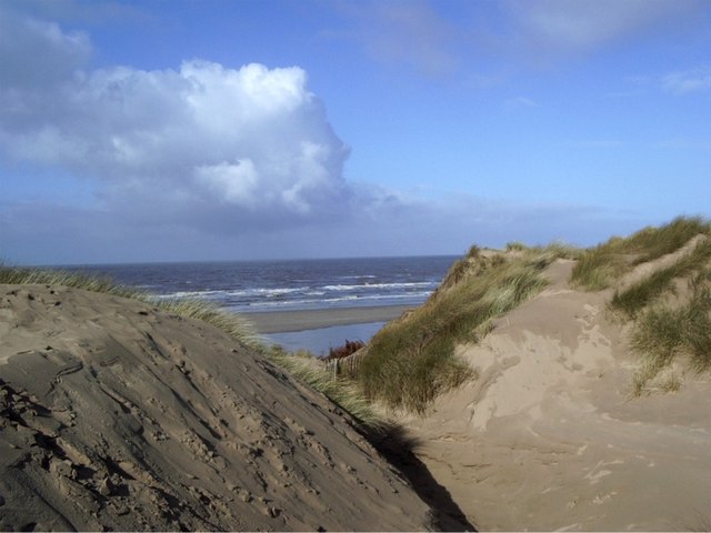
Formby is known for its beautiful sandy beaches and extensive sand dunes, which make it a popular destination for tourists and locals alike. The area is also home to Formby National Trust Reserve, a protected nature reserve that encompasses a diverse range of habitats including woodlands, sand dunes, and heathland. The reserve is famous for its red squirrel population, which is one of the largest in the UK.
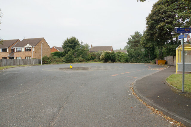
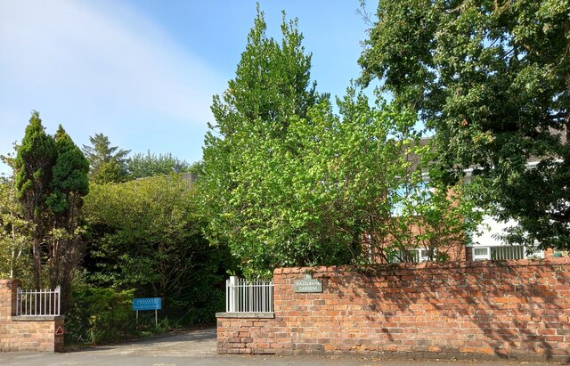
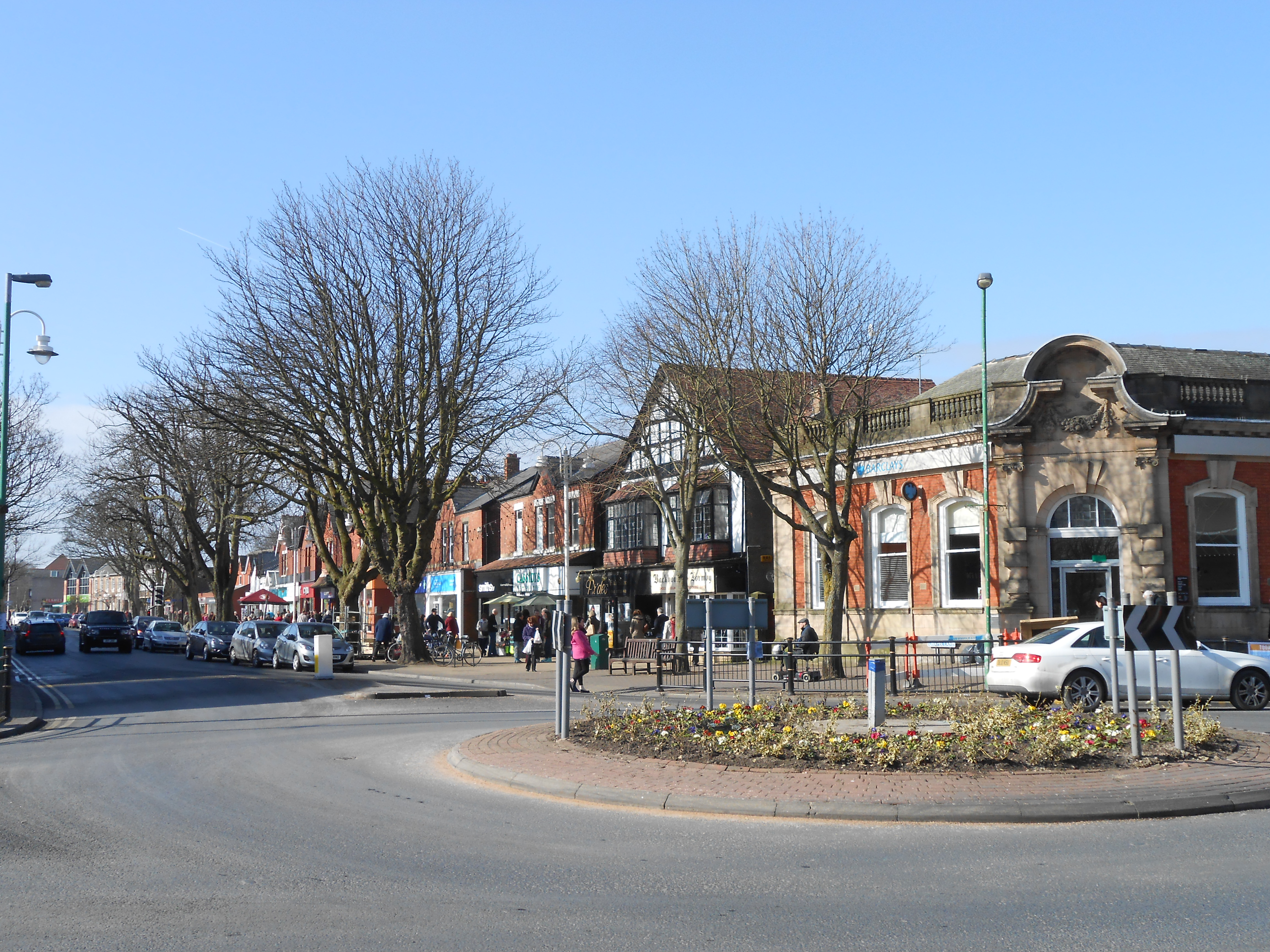
The village of Formby itself has a charming and picturesque character, with a mix of traditional and modern buildings. It offers a variety of amenities including shops, restaurants, and cafes, as well as a golf course and leisure center. The village also hosts several annual events such as the Formby Festival, which celebrates local arts, music, and culture.
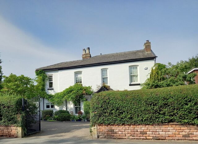
Formby has a rich history, with evidence of human occupation dating back to prehistoric times. It was once a thriving fishing community and later became a popular resort for wealthy Liverpool merchants during the Victorian era. Today, it retains its heritage and is a sought-after residential area known for its high-quality schools and desirable housing.
Overall, Formby is a vibrant and picturesque civil parish that combines natural beauty with a rich history, making it an attractive place to live and visit.
If you have any feedback on the listing, please let us know in the comments section below.
Formby Images
Images are sourced within 2km of 53.561006/-3.078644 or Grid Reference SD2807. Thanks to Geograph Open Source API. All images are credited.


Formby is located at Grid Ref: SD2807 (Lat: 53.561006, Lng: -3.078644)
Administrative County: Merseyside
District: Sefton
Police Authority: Merseyside
What 3 Words
///food.cute.spared. Near Formby, Merseyside
Nearby Locations
Related Wikis

2004 Curtis Cup
The 33rd Curtis Cup Match was played on 12 and 13 June 2004 at Formby Golf Club in Formby, Merseyside, England. The United States won 10 to 8. Great Britain...
Harington (ward)
Harington is a Metropolitan Borough of Sefton ward in the Sefton Central Parliamentary constituency that covers the western half of the town of Formby...
Freshfield
Freshfield is an area of Formby, in the Metropolitan Borough of Sefton, Merseyside, England, situated at the northern end of the town. It has no local...
Formby High School
Formby High School is an English secondary school with academy status located in the town of Formby, Merseyside. The local primary schools Freshfield,...

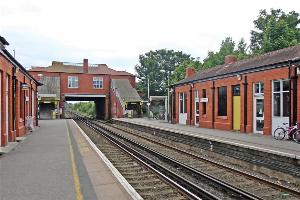
Freshfield railway station
Freshfield railway station serves the Freshfield district of Formby, Merseyside, England. The station is located on the Southport branch of the Merseyrail...
Formby
Formby is a town and civil parish in the Metropolitan Borough of Sefton, Merseyside, England. Historically in Lancashire, three manors are recorded in...
Formby Golf Club
Formby Golf Club is a golf links in Formby, Merseyside, England. == History == Founded in 1884, the course was redesigned by Willie Park Jr. in 1912. Over...
Formby railway station
Formby railway station is a railway station in the town of Formby, Merseyside, England. The station is located on the Southport branch of the Merseyrail...
Nearby Amenities
Located within 500m of 53.561006,-3.078644Have you been to Formby?
Leave your review of Formby below (or comments, questions and feedback).