Brockhampton
Settlement in Gloucestershire Tewkesbury
England
Brockhampton

Brockhampton is a small rural village located in the county of Gloucestershire, England. Situated in the picturesque Herefordshire countryside, it is nestled in the heart of the Brockhampton Estate, which is renowned for its natural beauty and historical significance.
The village itself is quaint and charming, with a population of around 200 residents. It is characterized by its traditional stone cottages and scenic landscapes, offering a peaceful and idyllic atmosphere. The village is surrounded by rolling hills, lush green fields, and ancient woodlands, making it a popular destination for nature lovers and outdoor enthusiasts.
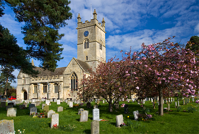
One of the main attractions in Brockhampton is the medieval St. Michael and All Angels Church, which dates back to the 12th century. This historic church features stunning stained glass windows and an intricately carved wooden rood screen. It serves as a focal point for the community and holds regular services and events.
The Brockhampton Estate, managed by the National Trust, is also a highlight of the area. It encompasses over 1,700 acres of unspoiled countryside, including a manor house, farmland, and woodlands. Visitors can explore the estate through various walking trails, taking in the breathtaking views and discovering the diverse flora and fauna.
In summary, Brockhampton, Gloucestershire is a charming village surrounded by beautiful countryside and rich in history. It offers a tranquil retreat for those seeking a break from the hustle and bustle of city life, with its picturesque landscapes and historic landmarks.
If you have any feedback on the listing, please let us know in the comments section below.
Brockhampton Images
Images are sourced within 2km of 51.934507/-2.086512 or Grid Reference SO9426. Thanks to Geograph Open Source API. All images are credited.


Brockhampton is located at Grid Ref: SO9426 (Lat: 51.934507, Lng: -2.086512)
Administrative County: Gloucestershire
District: Tewkesbury
Police Authority: Gloucestershire
What 3 Words
///slips.major.signal. Near Bishops Cleeve, Gloucestershire
Nearby Locations
Related Wikis

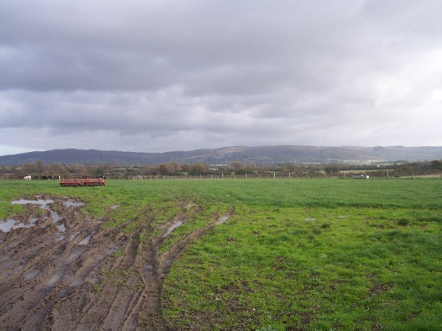
Wingmoor Farm Meadow
Wingmoor Farm Meadow (grid reference SO937273) is a 3-hectare (7.4-acre) nature reserve in Gloucestershire. The site is listed in the ‘Tewkesbury Borough...

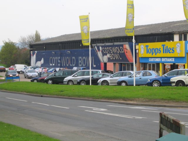
Swindon Village
Swindon or Swindon Village is both a village and a suburb in the spa town of Cheltenham, in the Cheltenham district, in the county of Gloucestershire,...
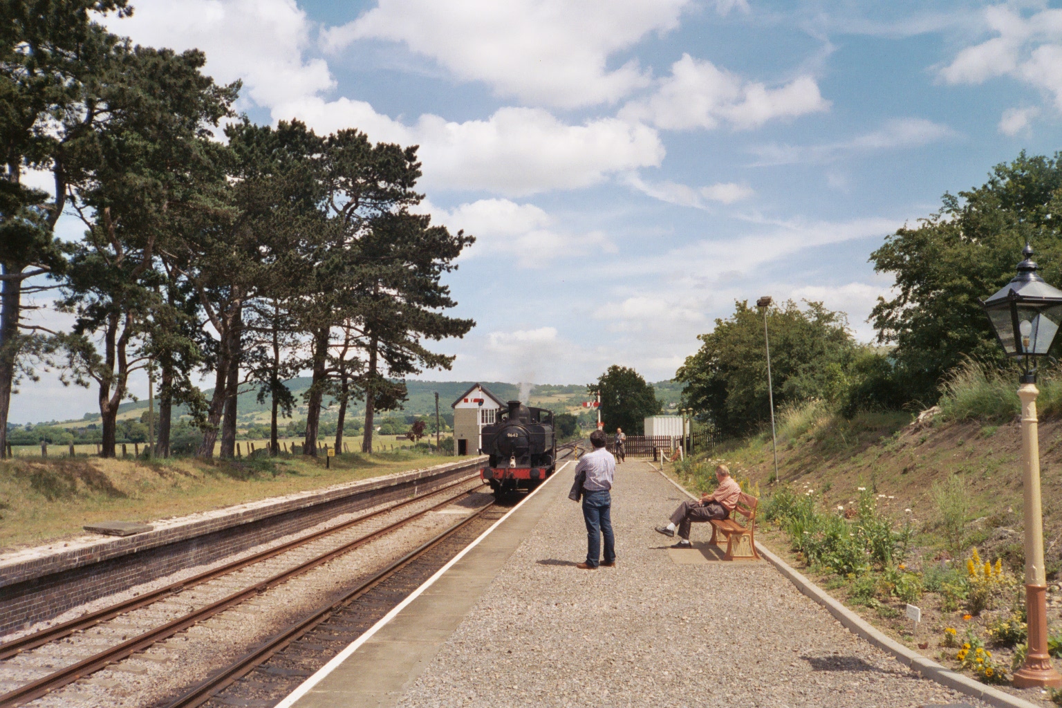
Cheltenham Race Course railway station
Cheltenham Race Course railway station serves Cheltenham Racecourse on the outskirts of Cheltenham, Gloucestershire, England. On the ex-Great Western Railway...
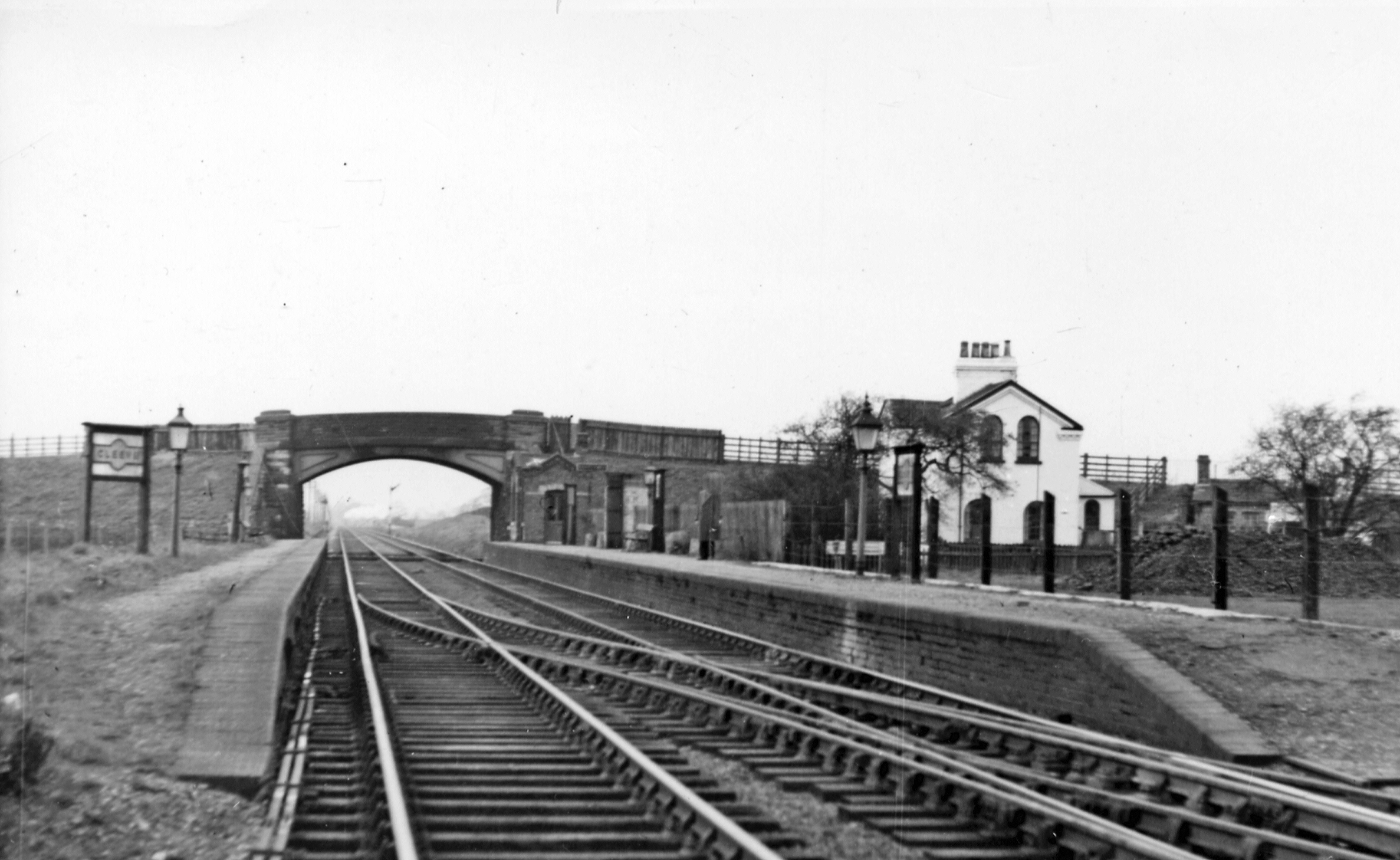
Cleeve railway station
Cleeve railway station was a station in Stoke Orchard, Gloucestershire, England. The station was named for the nearby village of Bishop's Cleeve. ��2...

Bishop's Cleeve F.C.
Bishop's Cleeve Football Club is a semi-professional football club based in Bishop's Cleeve, near Cheltenham, Gloucestershire, England. They are currently...

Elmstone Hardwicke
Elmstone Hardwicke is a village and sizeable parish north-west of Cheltenham in Gloucestershire, England. St Mary Magdelene Church may be considered the...
RAF Stoke Orchard
Royal Air Force Stoke Orchard or more simply RAF Stoke Orchard is a former Royal Air Force station near the village of Stoke Orchard, north west of Cheltenham...
Bishop's Cleeve
Bishop's Cleeve is a large village and civil parish in the Borough of Tewkesbury in the ceremonial county of Gloucestershire, England. The village lies...
Nearby Amenities
Located within 500m of 51.934507,-2.086512Have you been to Brockhampton?
Leave your review of Brockhampton below (or comments, questions and feedback).