Fen Ditton
Civil Parish in Cambridgeshire South Cambridgeshire
England
Fen Ditton

Fen Ditton is a civil parish located in the county of Cambridgeshire, England. Situated just northeast of the city of Cambridge, it is a small village with a population of around 750 residents. The village is set on the banks of the River Cam and is known for its picturesque scenery and tranquil atmosphere.
Fen Ditton has a rich history that dates back many centuries. It is mentioned in the Domesday Book of 1086, indicating its significance during the medieval period. The village grew as an agricultural community, with farming playing a vital role in its economy. Today, remnants of the past can still be seen in the form of historic buildings and structures scattered throughout the area.
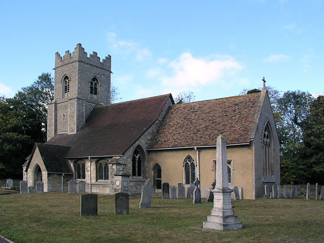
The parish is home to St Mary the Virgin Church, an Anglican church that dates back to the 12th century. The church is an important landmark and a testament to the village's religious heritage. Other notable landmarks include the Fen Ditton Mill, a former watermill that now serves as a private residence.
Fen Ditton offers a range of amenities to its residents and visitors. There is a primary school, a village hall, and a pub, providing a sense of community and gathering spaces. The village is also surrounded by beautiful countryside, making it an attractive destination for outdoor enthusiasts. The River Cam offers opportunities for boating and fishing, while the nearby fields and meadows provide ample space for walks and picnics.
Overall, Fen Ditton is a charming and peaceful village with a rich history and natural beauty. Its proximity to Cambridge adds to its appeal, making it an ideal place to live or visit for those seeking a quiet and idyllic setting.
If you have any feedback on the listing, please let us know in the comments section below.
Fen Ditton Images
Images are sourced within 2km of 52.216726/0.188717 or Grid Reference TL4959. Thanks to Geograph Open Source API. All images are credited.


Fen Ditton is located at Grid Ref: TL4959 (Lat: 52.216726, Lng: 0.188717)
Administrative County: Cambridgeshire
District: South Cambridgeshire
Police Authority: Cambridgeshire
What 3 Words
///continues.flute.hound. Near Fulbourn, Cambridgeshire
Nearby Locations
Related Wikis

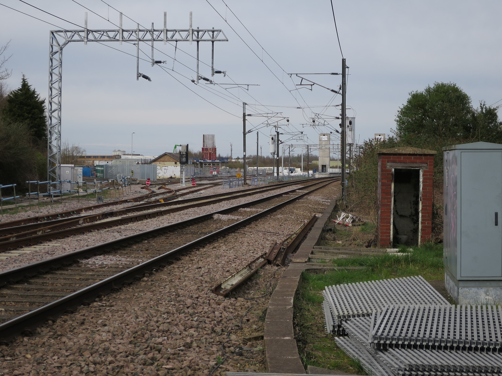
Fen Ditton Halt railway station
Fen Ditton Halt railway station served the village of Fen Ditton, Cambridgeshire, England from 1922 to 1962 on the Cambridge to Mildenhall railway. �...

Fen Ditton
Fen Ditton is a village on the northeast edge of Cambridge in Cambridgeshire, England. The parish covers an area of 5.99 square kilometres (2 sq mi). Fen...
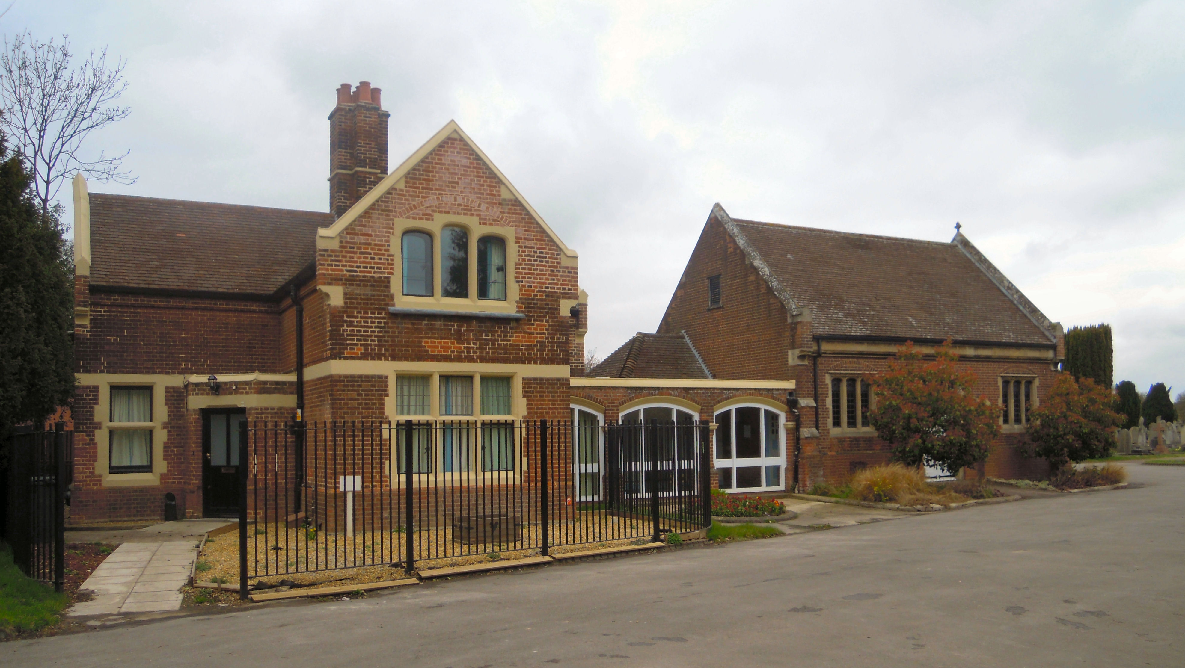
Cambridge City Cemetery
Cambridge City Cemetery is the main burial ground for the city of Cambridge in Cambridgeshire. It is to the north of the city, at the junction of Newmarket...
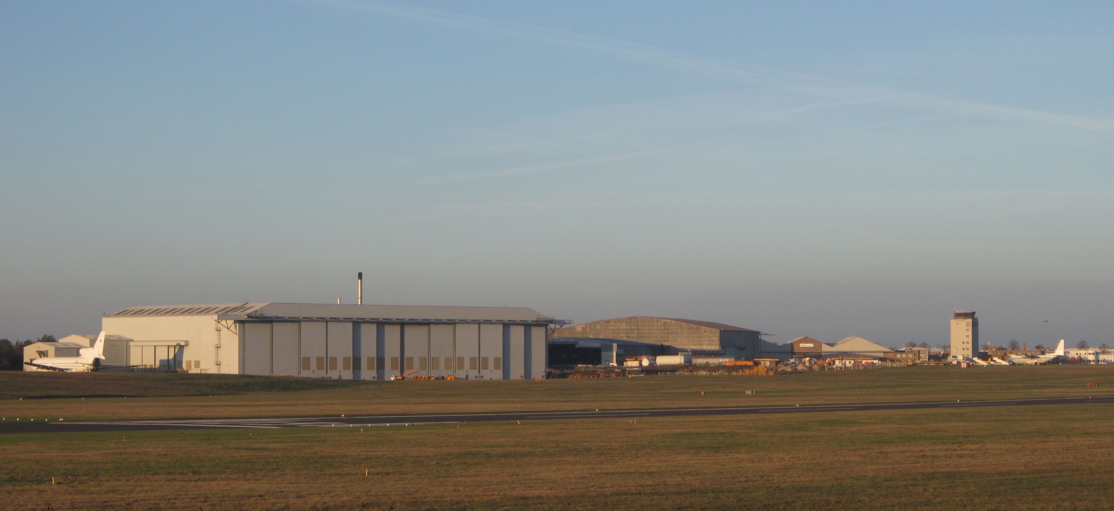
Cambridge City Airport
Cambridge City Airport (IATA: CBG, ICAO: EGSC), previously Marshall Airport Cambridge UK, is a regional airport in Cambridgeshire, England. It is located...
Teversham
Teversham is a small village in Cambridgeshire, England about 2 miles (3 km) from Fulbourn and about 3 miles (5 km) from the centre of Cambridge. It is...

Barnwell, Cambridgeshire
Barnwell is a suburb of Cambridge in England. The population of the Barnwell ward of Cambridge City Council at the 2011 census was 1,967. It lies northeast...
Chesterton railway station
Chesterton railway station was located on the line between Cambridge and Histon. It opened in 1850 and closed the same year. == History == In 1846, the...

Cambridge North railway station
Cambridge North railway station is a railway station located in the Cambridge suburb of Chesterton, close to Cambridge Science Park. The station is on...
Nearby Amenities
Located within 500m of 52.216726,0.188717Have you been to Fen Ditton?
Leave your review of Fen Ditton below (or comments, questions and feedback).