Farley
Civil Parish in Staffordshire Staffordshire Moorlands
England
Farley
Farley is a civil parish located in the Staffordshire county of England. Situated approximately 5 miles south of the county town of Stafford, Farley covers an area of about 1.6 square miles.
The village of Farley is nestled in a rural setting, surrounded by picturesque countryside and farmland. It has a small population of around 300 residents, creating a close-knit and community-oriented atmosphere. The parish is part of the Staffordshire Moorlands district.
Historically, Farley was mentioned in the Domesday Book of 1086 as "Fernelege." The village has retained much of its charm and character over the centuries, with many of its buildings reflecting traditional architectural styles. Notable landmarks in Farley include the Grade II listed St. Peter's Church, which dates back to the 13th century and features a striking medieval tower.
The village is primarily residential, with a mix of old cottages and newer houses. While there are limited amenities within Farley itself, the nearby town of Stafford offers a wider range of services, including schools, shops, and healthcare facilities.
The surrounding countryside provides ample opportunities for outdoor activities, such as walking, cycling, and horse riding. The Staffordshire Way, a long-distance footpath, passes near Farley, offering scenic routes for exploration. The village also benefits from its proximity to Cannock Chase, an Area of Outstanding Natural Beauty known for its woodlands and wildlife.
Overall, Farley offers a peaceful and idyllic setting for those seeking a rural lifestyle, while still enjoying easy access to nearby towns and amenities.
If you have any feedback on the listing, please let us know in the comments section below.
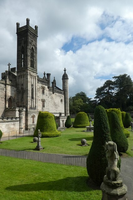
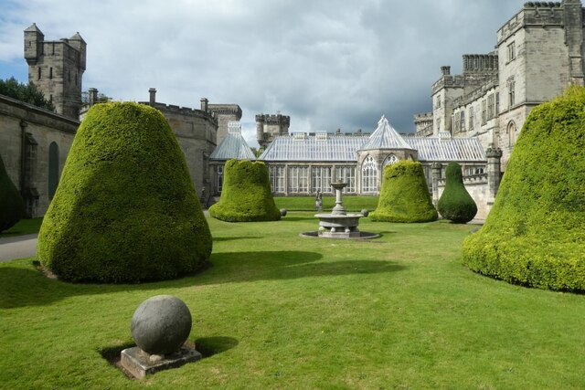
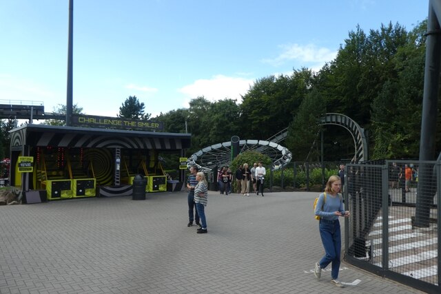
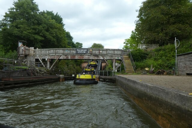
Farley Images
Images are sourced within 2km of 52.999291/-1.889093 or Grid Reference SK0744. Thanks to Geograph Open Source API. All images are credited.

Farley is located at Grid Ref: SK0744 (Lat: 52.999291, Lng: -1.889093)
Administrative County: Staffordshire
District: Staffordshire Moorlands
Police Authority: Staffordshire
What 3 Words
///surgical.storming.wriggled. Near Cheadle, Staffordshire
Nearby Locations
Related Wikis

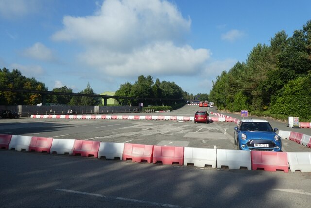
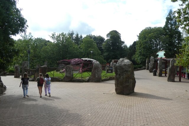
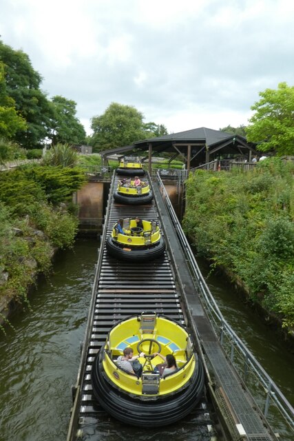
Ripsaw (Alton Towers)
Ripsaw was a Top Spin ride at Alton Towers theme park in Staffordshire, England. It opened in 1997 and closed at the end of 2015. == History == The ride...

Runaway Mine Train (Alton Towers)
The Runaway Mine Train is a powered steel roller coaster made by MACK Rides of Germany. The ride is located in the Katanga Canyon area of Alton Towers...

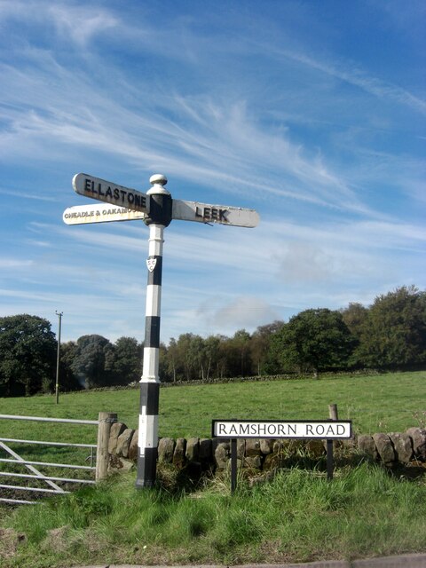
Ramshorn
The tiny hamlet of Ramsor (Methodist spelling) in North Staffordshire played a significant part in the origins of Primitive Methodism. Listed in the Domesday...
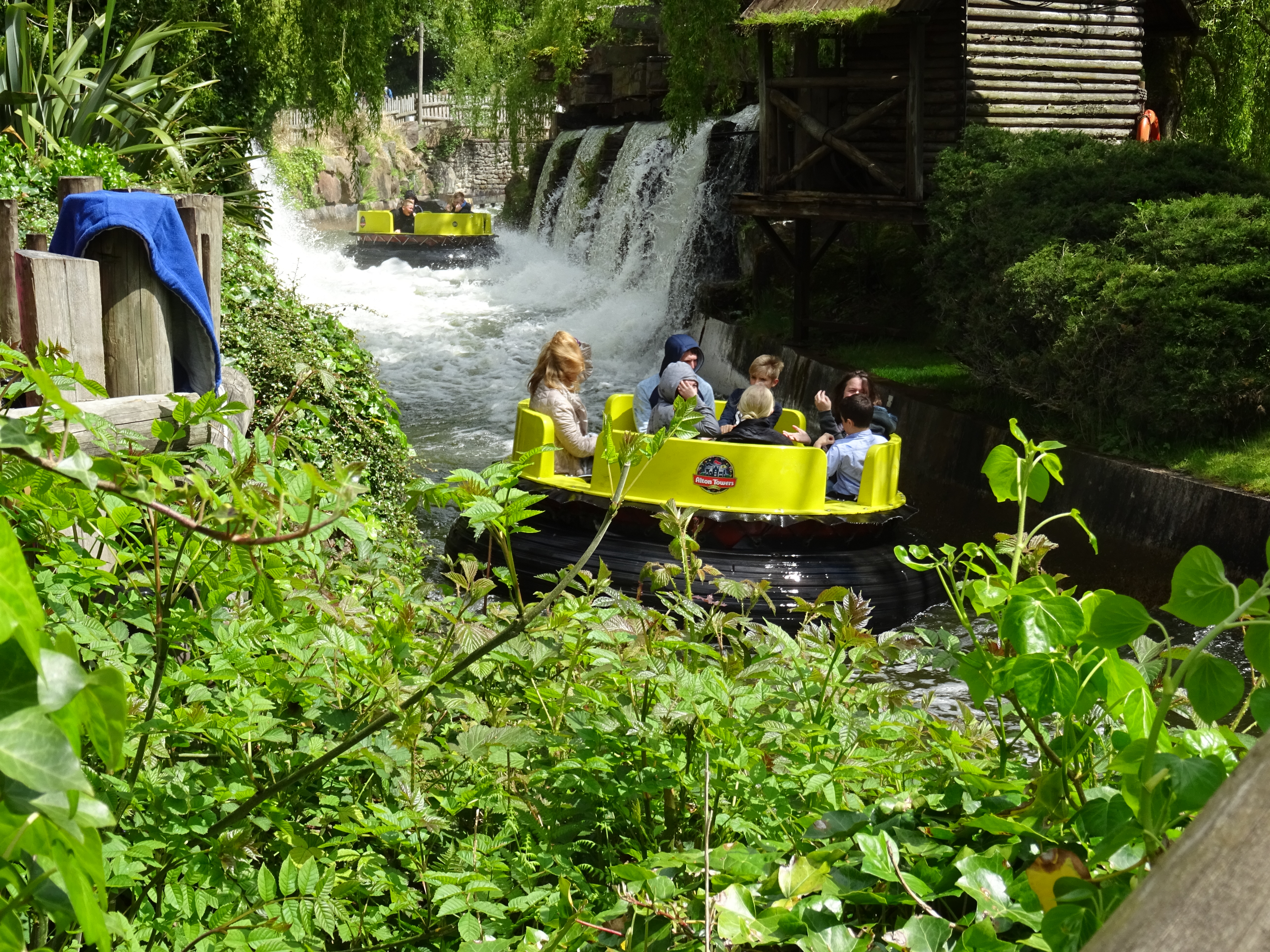
Congo River Rapids (Alton Towers)
Congo River Rapids is a river rapids ride made by Intamin. It is located in the Katanga Canyon area of Alton Towers in Staffordshire, England. The rapids...

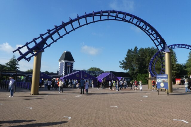
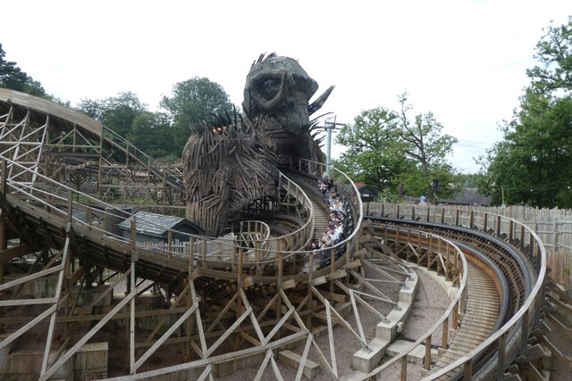
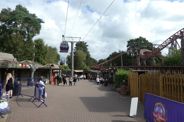
Wicker Man (roller coaster)
Wicker Man is a wooden roller coaster at Alton Towers theme park in Staffordshire, United Kingdom. Manufactured by Great Coasters International, the £16...

Beastie (Alton Towers)
Beastie was a steel family roller coaster made by Pinfari of Italy. The coaster was located in the Adventure Land area of Alton Towers in Staffordshire...
Doom & Sons
Doom & Sons was a former attraction in the Talbot Street area of Alton Towers theme park, Staffordshire, England. The attraction was opened in 1981 and...
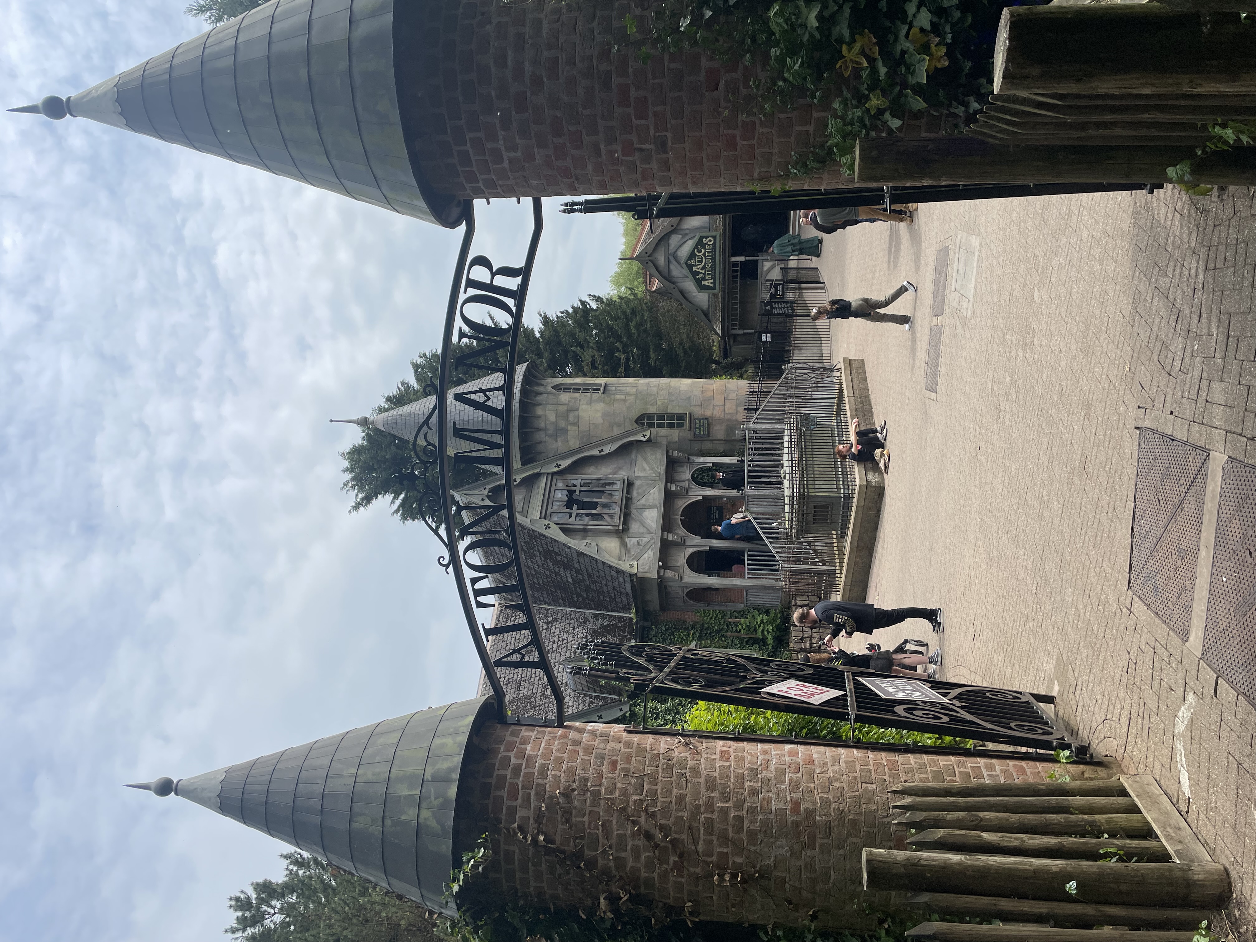
Curse at Alton Manor
The Curse at Alton Manor is a dark ride at the Alton Towers theme park near the village of Alton in Staffordshire, England, opened in 2023. It originally...
Nearby Amenities
Located within 500m of 52.999291,-1.889093Have you been to Farley?
Leave your review of Farley below (or comments, questions and feedback).