Farley

Settlement in Staffordshire Staffordshire Moorlands

England

Farley

Direction Sign – Signpost on Ramshorn Road, Ramshorn Located on the west side of the junction of Ramshorn Road and Ribden Road in Ramshorn parish. 3 arms and flat pawn finial.

Milestone Society National ID: ST_SK0845
Direction Sign – Signpost on Ramshorn Road, Ramshorn Credit: T Jenkinson

Farley is a small village located in the county of Staffordshire, England. Situated approximately 5 miles south of the town of Stoke-on-Trent, Farley is a rural settlement known for its picturesque countryside and rich history.

The village is home to a population of around 1,500 residents, who enjoy the peace and tranquility offered by the surrounding farmland and rolling hills. The area is predominantly residential, with a mix of traditional stone cottages and more modern housing developments.

One of the standout features of Farley is its historic church, St. John the Baptist. Dating back to the 12th century, this Grade I listed building is a testament to the village's long-standing existence. With its stunning architecture and beautiful stained glass windows, the church is not only a place of worship but also a popular attraction for visitors.

Farley is well-connected to its neighboring towns and cities, with regular bus services providing transport links to Stoke-on-Trent and other nearby locations. The village benefits from a close-knit community, with a village hall hosting various events and gatherings throughout the year.

For those seeking outdoor activities, Farley offers easy access to the Staffordshire Moorlands and the Peak District National Park. Hiking, cycling, and horse riding are popular pastimes in the area, offering residents and visitors the opportunity to explore the natural beauty of the surrounding countryside.

Overall, Farley is a charming village that combines a peaceful rural setting with a rich historical heritage, making it an attractive place to live or visit for those seeking a quieter pace of life.

If you have any feedback on the listing, please let us know in the comments section below.
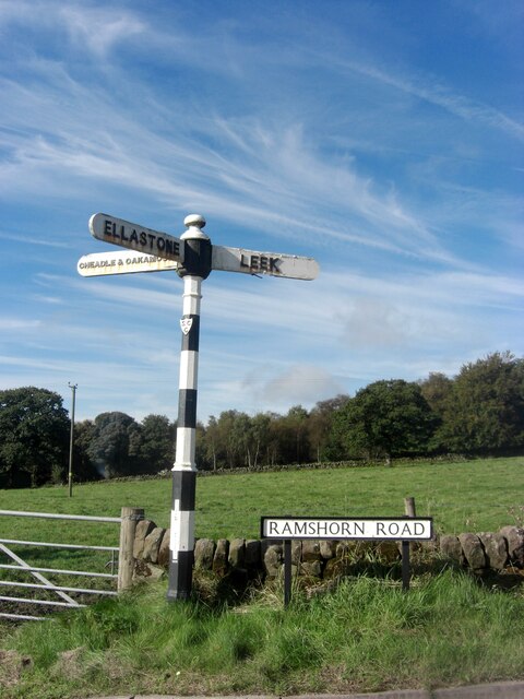
Farley Images

Images are sourced within 2km of 52.993319/-1.8949124 or Grid Reference SK0744. Thanks to Geograph Open Source API. All images are credited.

Direction Sign – Signpost on Ramshorn Road, Ramshorn Located on the west side of the junction of Ramshorn Road and Ribden Road in Ramshorn parish. 3 arms and flat pawn finial.

Milestone Society National ID: ST_SK0845
Direction Sign – Signpost on Ramshorn Road, Ramshorn
Located on the west side of the junction of Ramshorn Road and Ribden Road in Ramshorn parish. 3 arms and flat pawn finial. Milestone Society National ID: ST_SK0845
Coach park at Alton Towers Looking across the coach park area.
Coach park at Alton Towers
Looking across the coach park area.
Entrance to Alton Towers Looking towards a section of roller-coaster track.
Entrance to Alton Towers
Looking towards a section of roller-coaster track.
Wicker Man rollercoaster Looking towards part of the Wickerman Rollercoaster at Alton Towers.
Wicker Man rollercoaster
Looking towards part of the Wickerman Rollercoaster at Alton Towers.
Forbidden Valley Looking across part of the Forbidden Valley section at Alton Towers.
Forbidden Valley
Looking across part of the Forbidden Valley section at Alton Towers.
Nemesis rollercoaster Part of Nemesis, one of the rollercoasters at Alton Towers.
Nemesis rollercoaster
Part of Nemesis, one of the rollercoasters at Alton Towers.
Gardens at Alton Towers Looking across part of the gardens in a valley.
Gardens at Alton Towers
Looking across part of the gardens in a valley.
Pond in the gardens Looking along a path beside a pond in the gardens at Alton Towers.
Pond in the gardens
Looking along a path beside a pond in the gardens at Alton Towers.
Dark Forest and gondola The aerial ropeway is a 12-MGD called Sky Ride constructed in 1987 by Poma. The cabins have been replaced more recently with Sigma cabins.
Dark Forest and gondola
The aerial ropeway is a 12-MGD called Sky Ride constructed in 1987 by Poma. The cabins have been replaced more recently with Sigma cabins.
House at Alton Towers Looking across the main country house in the estate now home to a theme park.
House at Alton Towers
Looking across the main country house in the estate now home to a theme park.
Formal gardens in the house The gardens for the main house at Alton Towers.
Formal gardens in the house
The gardens for the main house at Alton Towers.
Enterprise Looking towards the Enterprise ride at Alton Towers.
Enterprise
Looking towards the Enterprise ride at Alton Towers.
Rapids at Alton Towers Looking towards the end of The Rapids attraction, with the lift to bring the boats back to the start.
Rapids at Alton Towers
Looking towards the end of The Rapids attraction, with the lift to bring the boats back to the start.
Boat lift to the start Looking along the conveyor lifting the rapids boats back to the start of the ride.
Boat lift to the start
Looking along the conveyor lifting the rapids boats back to the start of the ride.
Main House Looking towards the main house in Alton Towers theme park.
Main House
Looking towards the main house in Alton Towers theme park.
Towards the boating lake Looking across part of Alton Towers.
Towards the boating lake
Looking across part of Alton Towers.
Boating lake and house Looking across the lake towards the main house at Alton Towers.
Boating lake and house
Looking across the lake towards the main house at Alton Towers.
Octoberfest Looking across the grassy area beside the boating lake being used as an Octoberfest area.
Octoberfest
Looking across the grassy area beside the boating lake being used as an Octoberfest area.
Show me another place!

Farley is located at Grid Ref: SK0744 (Lat: 52.993319, Lng: -1.8949124)

Administrative County: Staffordshire

District: Staffordshire Moorlands

Police Authority: Staffordshire

What 3 Words

///delays.cleansed.chairs. Near Cheadle, Staffordshire

Related Wikis

Ripsaw (Alton Towers)

Ripsaw was a Top Spin ride at Alton Towers theme park in Staffordshire, England. It opened in 1997 and closed at the end of 2015. == History == The ride...

Beastie (Alton Towers)

Beastie was a steel family roller coaster made by Pinfari of Italy. The coaster was located in the Adventure Land area of Alton Towers in Staffordshire...
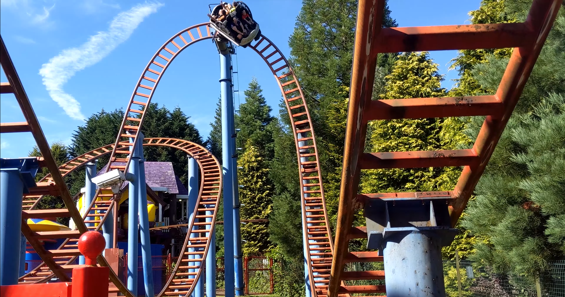
Spinball Whizzer

Spinball Whizzer is a spinning roller coaster located in the Adventure Land area of Alton Towers in Staffordshire, England. Built by Maurer Söhne, it was...

Submission (Alton Towers)

Submission was a theme park ride at Alton Towers in Staffordshire, England from 2001 until 2013. It was a Chance Rides double swinging inverter. ��2...

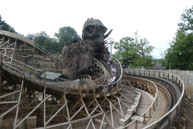
Wicker Man (roller coaster)

Wicker Man is a wooden roller coaster at Alton Towers theme park in Staffordshire, United Kingdom. Manufactured by Great Coasters International, the £16...
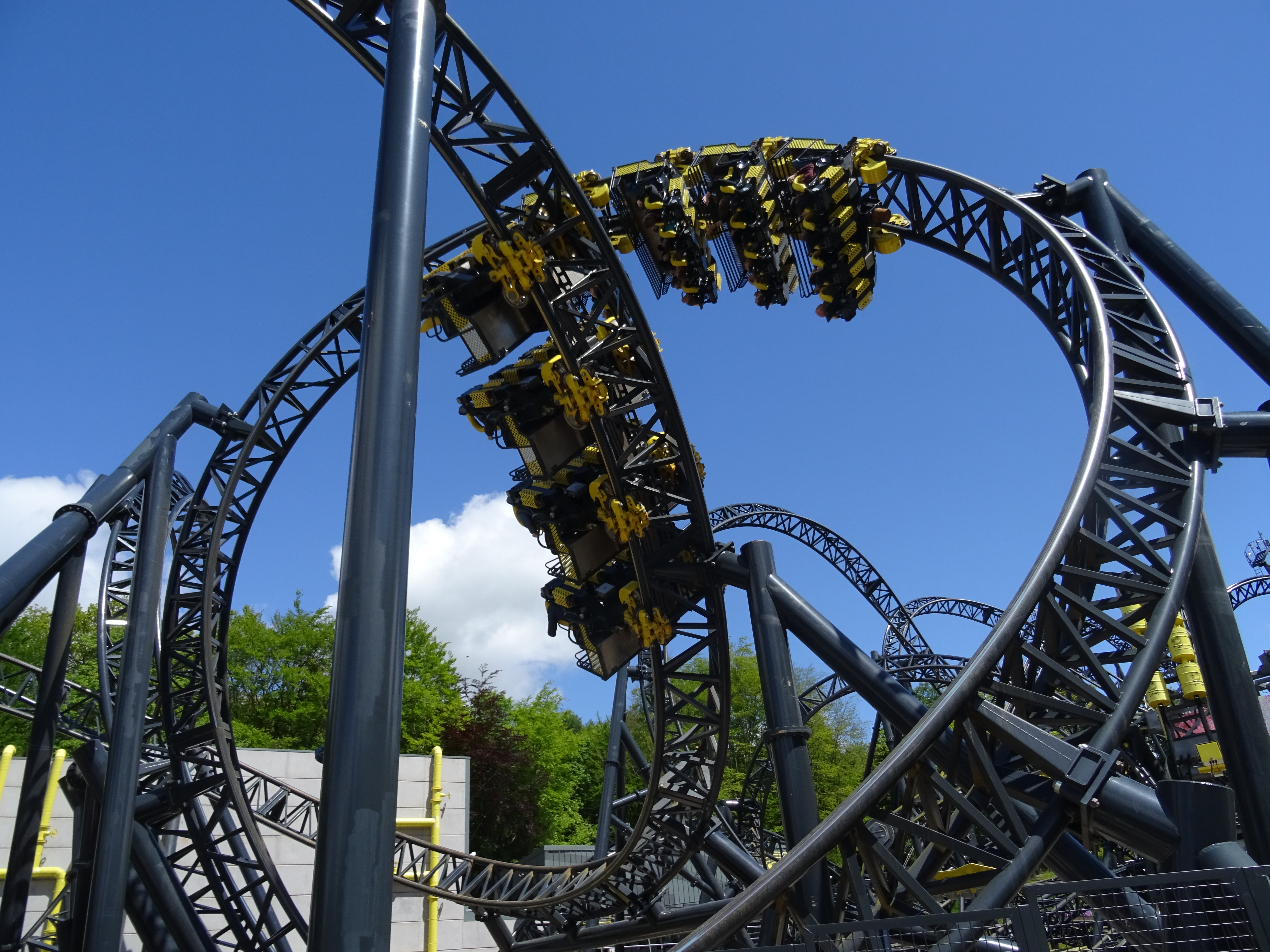
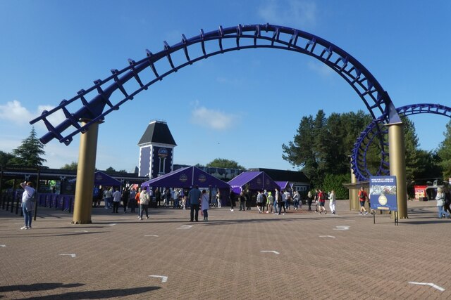
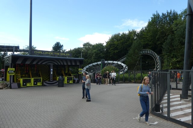
The Smiler

The Smiler is a steel roller coaster located at Alton Towers in Staffordshire, United Kingdom. It opened in 2013 as the first Infinity Coaster model from...
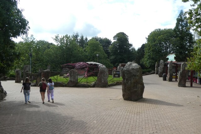
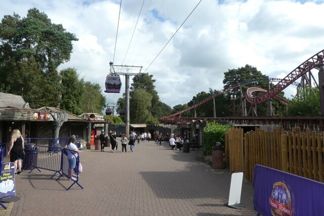
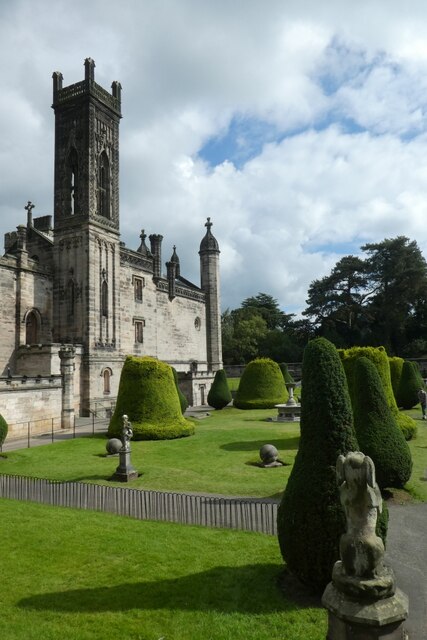
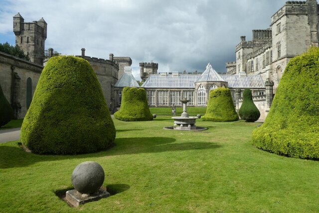
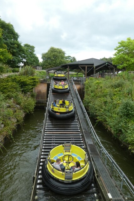
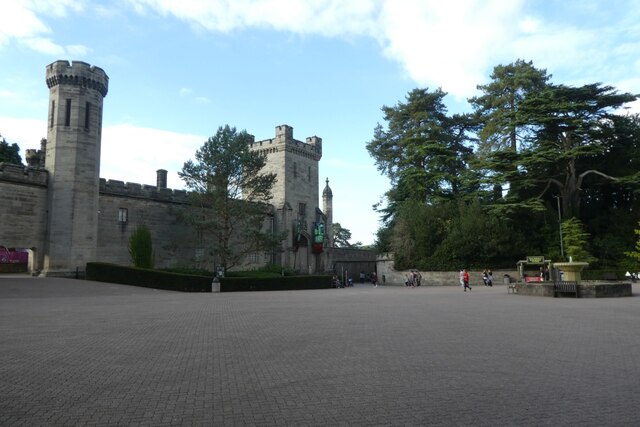
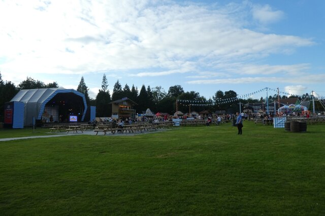
Alton Towers

Alton Towers Resort (UK: OL-tən) (often referred to as Alton Towers) is a theme park and resort complex in Staffordshire, England, near the village of...

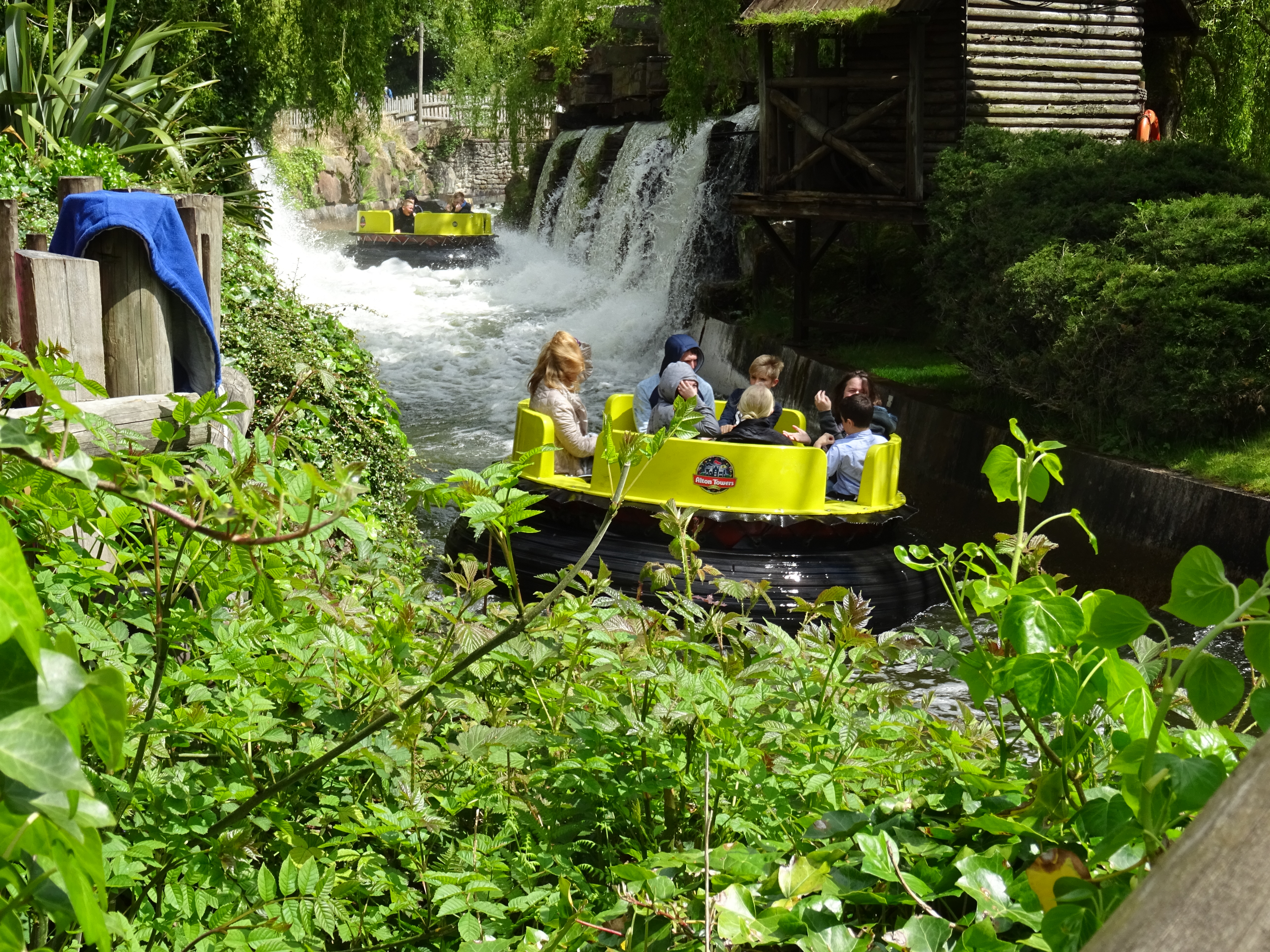
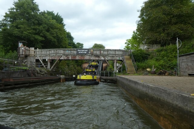
Congo River Rapids (Alton Towers)

Congo River Rapids is a river rapids ride made by Intamin. It is located in the Katanga Canyon area of Alton Towers in Staffordshire, England. The rapids...

Nearby Amenities

Located within 500m of 52.993319,-1.8949124
Farley
Is In Country: UK
Is In County: Staffordshire
Place: hamlet
Lat/Long: 52.9951022/-1.8965776
Towers Street Station
Aerialway: station
Lat/Long: 52.9899122/-1.8913084
Post Box
Note: I went to the Alton Towers Resort theme park on Wednesday 03.08.2022 and the postbox slot has been blocked off.
Operator: Royal Mail
Ref: ST10 35
Source: visit to Alton Towers Resort theme park.
Lat/Long: 52.9910091/-1.8925666
Post Box
Operator: Royal Mail
Ref: ST10 600
Lat/Long: 52.9934455/-1.8949234
Bus Stop
Alton Towers Entrance
Bus: yes
Naptan AtcoCode: 3800C800400
Naptan Bearing: S
Naptan CommonName: Alton Towers
Naptan Indicator: Adj
Naptan Landmark: Coach Park
Naptan Street: Wootton Lane
Naptan Verified: no
Public Transport: platform
Source: naptan_import
Lat/Long: 52.9913924/-1.8913026
Bus Stop
Alton Towers
Naptan AtcoCode: 3800C800401
Naptan Bearing: S
Naptan CommonName: Alton Towers
Naptan Indicator: Adj
Naptan Landmark: Staff Car Park
Naptan Street: Farley Ln
Naptan Verified: no
Source: naptan_import
Lat/Long: 52.991726/-1.894731
Shelter
Bus Stop
Farley Gates
Bench: yes
Naptan AtcoCode: 3800C806500
Naptan Bearing: SE
Naptan CommonName: Farley Gates
Naptan Indicator: Adj
Naptan Landmark: Farley Gates Entrance
Naptan Street: Wootton Ln
Naptan Verified: no
Shelter: yes
Shelter Type: public_transport
Source: naptan_import
Lat/Long: 52.9932518/-1.8946098
Bus Stop
Farley Gates
Naptan AtcoCode: 3800C806501
Naptan Bearing: NE
Naptan BusStopType: CUS
Naptan CommonName: Farley Gates
Naptan Indicator: Opp
Naptan Landmark: Farley Gates Ent
Naptan Street: Wootton Ln
Naptan Verified: no
Source: naptan_import
Lat/Long: 52.9930476/-1.8949811
Barrier: bollard
Lat/Long: 52.9919256/-1.8942618
Adventure Land
Place: locality
Lat/Long: 52.9891638/-1.8942671
CBeebies Land
Place: locality
Lat/Long: 52.9899567/-1.8937066
Parking
Premium Parking
Capacity: 200
Fee: £15.00
Parking: surface
Lat/Long: 52.9918694/-1.8931969
Crossing
Crossing: uncontrolled
Source: bing
Lat/Long: 52.9916503/-1.8916359
Atm
Lat/Long: 52.9908207/-1.8919342
Crossing
Crossing: uncontrolled
Source: survey;bing
Lat/Long: 52.9916774/-1.8929714
Barrier: cattle_grid
Lat/Long: 52.9944988/-1.8937496
Toilets
Lat/Long: 52.9910835/-1.8927154
Telephone
Lat/Long: 52.9909188/-1.89271
Telephone
Lat/Long: 52.990948/-1.8927048
Coca-Cola Refilling Station
Shop: kiosk
Lat/Long: 52.9907638/-1.8920797
Alton Towers Main Entrance
Monorail: yes
Railway: station
Station: monorail
Tourism: attraction
Usage: tourism
Lat/Long: 52.9915619/-1.8920461
Spinball Whizzer
Attraction: roller_coaster
Wikidata: Q911384
Lat/Long: 52.9889237/-1.8945623
Cafe
Corner Coffee & Bar
Lat/Long: 52.9900761/-1.8930343
Octonauts Rollercoaster
Attraction: roller_coaster
Wikidata: Q24996970
Lat/Long: 52.9893227/-1.8945533
Numtums Number Go-Around
Tourism: attraction
Lat/Long: 52.99078/-1.8938098
Charlie & Lola's Moonsquirters and Greendrops
Tourism: attraction
Lat/Long: 52.9908706/-1.8935462
Cafe
Lat/Long: 52.9907364/-1.8934028
CBeebies Land Gift Shop
Shop: gift
Lat/Long: 52.9905909/-1.8940219
Nina's Science Lab
Tourism: attraction
Lat/Long: 52.9904573/-1.8938934
Something Special Sensory Garden
Tourism: attraction
Lat/Long: 52.9896487/-1.8935251
Towers Street
Place: locality
Lat/Long: 52.9902349/-1.8924733
Octonauts Rollercoaster Photos
Building: yes
Shop: kiosk
Lat/Long: 52.9893257/-1.8947727
Barrier: cattle_grid
Lat/Long: 52.99516/-1.8883111
Barrier: cattle_grid
Lat/Long: 52.9950059/-1.8937449
Power: pole
Source: Bing
Lat/Long: 52.9924564/-1.9013721
Barrier: stile
Material: wood
Source: survey;gps
Stile: stepover
Lat/Long: 52.9959643/-1.8938276
Barrier: stile
Material: wood
Source: survey;gps
Stile: stepover
Lat/Long: 52.9965645/-1.8976899
Historic: monument
Source: bing
Lat/Long: 52.9961256/-1.8981001
Barrier: stile
Material: metal
Source: survey;gps
Stile: squeezer
Lat/Long: 52.9968978/-1.8990958
Barrier: stile
Material: metal
Source: survey;gps
Stile: squeezer
Lat/Long: 52.9968907/-1.8991488
Barrier: stile
Material: wood
Source: survey;gps
Stile: stepover
Lat/Long: 52.9969213/-1.8990091
Barrier: cattle_grid
Lat/Long: 52.9951003/-1.8960311
Power: pole
Lat/Long: 52.9928783/-1.8911398
Power: pole
Lat/Long: 52.9929664/-1.889603
Power: pole
Lat/Long: 52.9930888/-1.8875987
Barrier: stile
Lat/Long: 52.9943035/-1.897395
Fixme: stile or gate?
Lat/Long: 52.9954733/-1.9007078
Fixme: stile or gate?
Lat/Long: 52.9953298/-1.9008772
Fixme: stile or gate?
Lat/Long: 52.995204/-1.9010257
The data included in this document is from www.openstreetmap.org. The data is made available under ODbL.

Have you been to Farley?

Leave your review of Farley below (or comments, questions and feedback).