Brockencote

Settlement in Worcestershire Wyre Forest

England

Brockencote

Pylons and farmland near Woodcote Green
Pylons and farmland near Woodcote Green Credit: Philip Halling

Brockencote is a picturesque village located in the county of Worcestershire, England. Situated on the western edge of the county, it is nestled in the scenic countryside and offers a tranquil and idyllic setting for residents and visitors alike.

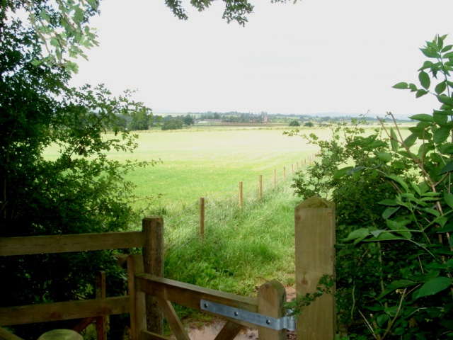
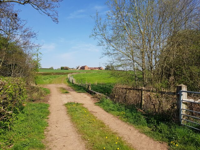
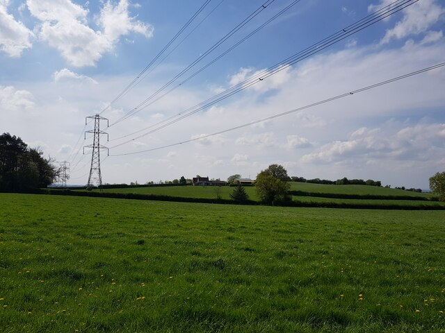
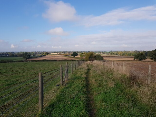
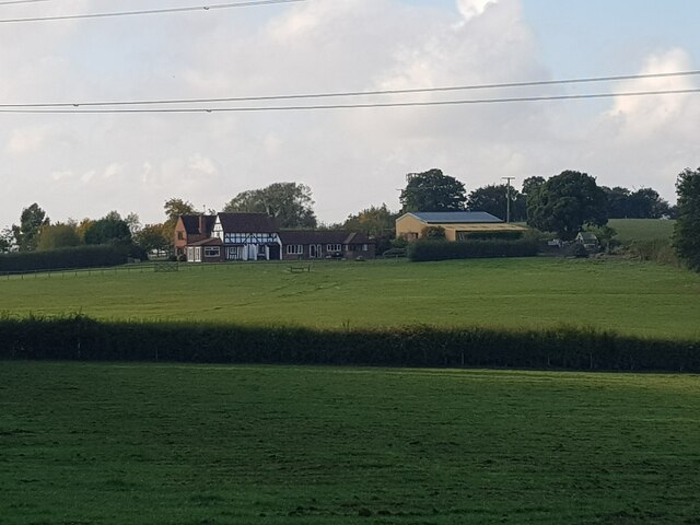
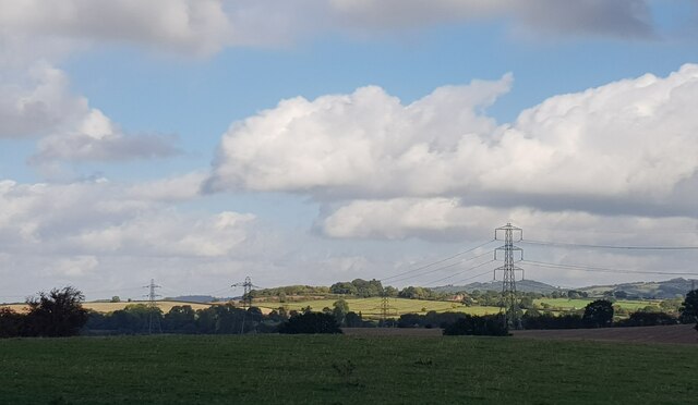
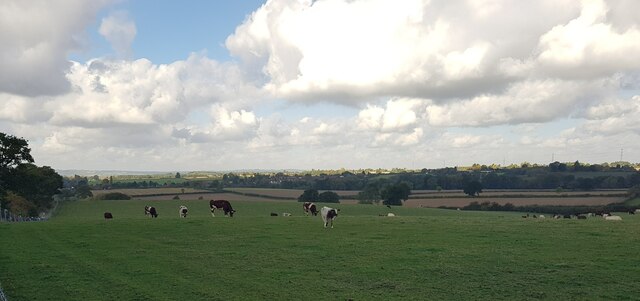
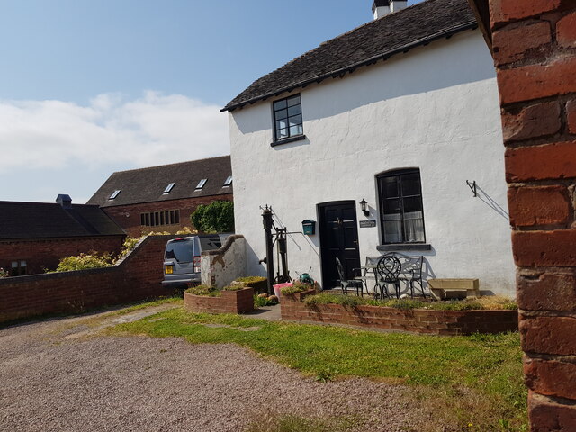
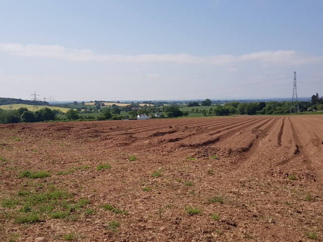
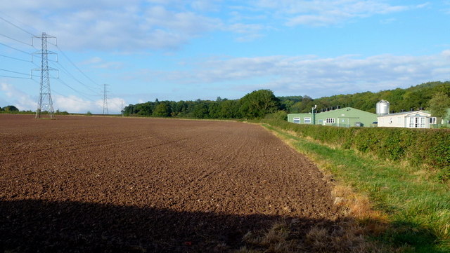
The village is known for its charming and quaint atmosphere, with its traditional stone cottages, well-manicured gardens, and beautiful surrounding landscapes. The area is abundant in natural beauty, with rolling hills, meandering rivers, and lush green fields, providing ample opportunities for outdoor activities such as hiking, cycling, and horseback riding.

Despite its peaceful ambiance, Brockencote is conveniently located near major transport links, including the nearby M5 motorway and Kidderminster railway station, making it easily accessible for those looking to explore the wider region. The village is also well-served by public transportation, with regular bus services connecting it to nearby towns and villages.

Brockencote boasts a close-knit community, where residents take pride in their village and actively participate in various community events and initiatives. The village has a range of amenities, including a local pub, village hall, and a primary school, catering to the needs of its residents.

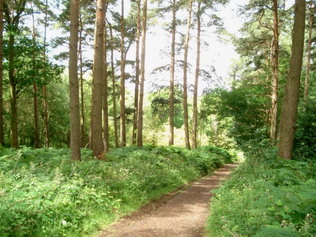
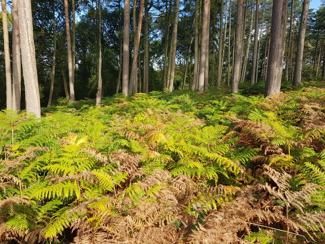
For those interested in history and culture, the area is rich in heritage. Nearby attractions include the historic Harvington Hall, a moated manor house dating back to the 16th century, and the picturesque Wyre Forest, a designated Site of Special Scientific Interest, offering stunning woodland walks and wildlife spotting opportunities.

In summary, Brockencote is a charming village in Worcestershire, offering a peaceful and scenic retreat for residents and visitors, with a strong sense of community and an abundance of natural beauty to explore.

If you have any feedback on the listing, please let us know in the comments section below.
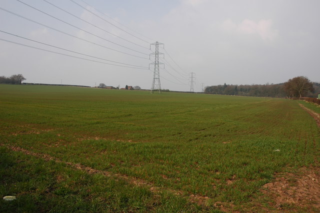
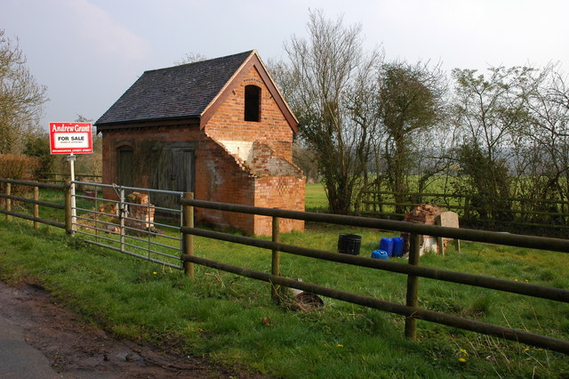
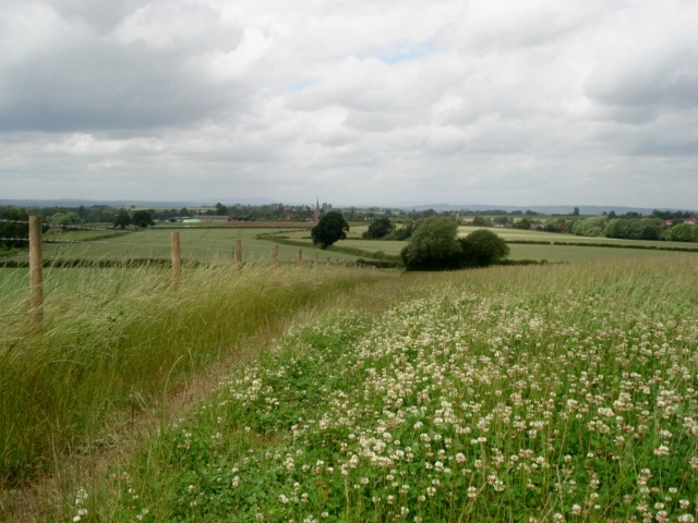
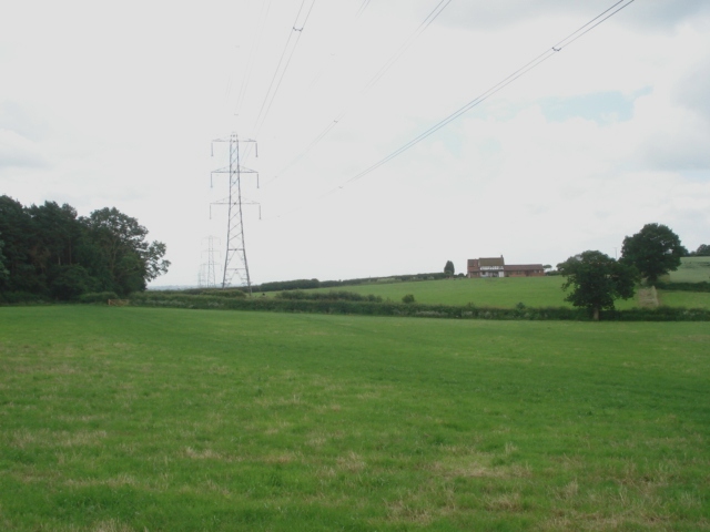
Brockencote Images

Images are sourced within 2km of 52.359052/-2.165018 or Grid Reference SO8873. Thanks to Geograph Open Source API. All images are credited.

Pylons and farmland near Woodcote Green
'Property with potential....' at Tanwood
Clover field near Chaddesley Wood The path from the wood leads to Chaddesley Corbett village in the distance. The church spire is just visible.
Clover field near Chaddesley Wood
The path from the wood leads to Chaddesley Corbett village in the distance. The church spire is just visible.
Chaddesley Wood Farm With Chaddesley Wood to the left.
Chaddesley Wood Farm
With Chaddesley Wood to the left.
View from the edge of Chaddesley Wood
Chaddesley Wood This wood is managed by Natural England (ex English Nature) and it is a designated National Nature Reserve. It was once part of the Royal Hunting Forest of Feckenham and there are many interesting walks.
<span class="nowrap"><a title="http://worcestershire.whub.org.uk/cms/environment-and-planning/countryside/waymarked-walks/off-site-circular-trails/royal-hunters-walks.aspx" rel="nofollow ugc noopener" href="http://worcestershire.whub.org.uk/cms/environment-and-planning/countryside/waymarked-walks/off-site-circular-trails/royal-hunters-walks.aspx">Link</a><img style="margin-left:2px;" alt="External link" title="External link - shift click to open in new window" src="https://s1.geograph.org.uk/img/external.png" width="10" height="10"/></span>
Chaddesley Wood
This wood is managed by Natural England (ex English Nature) and it is a designated National Nature Reserve. It was once part of the Royal Hunting Forest of Feckenham and there are many interesting walks. LinkExternal link
Footbridge between Woodside Farm and Swancote Farm, Chaddesley Corbett Over the Hockley Brook.
Footbridge between Woodside Farm and Swancote Farm, Chaddesley Corbett
Over the Hockley Brook.
Pylons near Chaddesley Woods
Path to the village from Chaddesley Woods
Tagg Farm, Chaddesley Corbett
Bracken, Chaddesley Woods
Power lines across the landscape near Tagg Farm
Cows by footpath near Tagg Farm, Chaddesley Corbett
House at Swancote Farm, Bluntington, Worcestershire
Ploughed field near Bluntington, Worcestershire
Layby on the A448 near Chaddesley Corbett
Field and poultry farm View north from the A448 with Chaddesley Wood beyond.
Field and poultry farm
View north from the A448 with Chaddesley Wood beyond.
A448 at Outwood The sign for the poultry farm in <a href="https://www.geograph.org.uk/photo/3702710">SO9072 : Field and poultry farm</a>.
A448 at Outwood
The sign for the poultry farm in SO9072 : Field and poultry farm.
Show me another place!

Brockencote is located at Grid Ref: SO8873 (Lat: 52.359052, Lng: -2.165018)

Administrative County: Worcestershire

District: Wyre Forest

Police Authority: West Mercia

What 3 Words

///next.support.jaundice. Near Belbroughton, Worcestershire

Nearby Locations

Redcross Brockencote

Related Wikis

Chaddesley Corbett

Chaddesley Corbett is a village and civil parish in the Wyre Forest District of Worcestershire, England. The Anglican and secular versions of the parish...

Harvington Hall

Harvington Hall is a moated medieval and Elizabethan manor house in the hamlet of Harvington in the civil parish of Chaddesley Corbett, southeast of Kidderminster...

Tanwood

Tanwood is a hamlet in the English county of Worcestershire. It lies about one mile northeast of the village of Chaddesley Corbett and forms part of the...

Chaddesley Woods National Nature Reserve

Chaddesley Woods National Nature Reserve is situated near the village of Chaddesley Corbett, in Worcestershire, England. It is a reserve of the Worcestershire...

Nearby Amenities

Located within 500m of 52.359052,-2.165018
Telephone
Defibrillator
Booth: K6
Covered: booth
Defibrillator Location: inside old red phone box,Chaddesley Corbett
Emergency: defibrillator
Listed Status: Grade II
Man Made: telephone_box
Lat/Long: 52.3606092/-2.159954
Bus Stop
Chaddesley Corbett Turn
Bus: yes
Naptan AtcoCode: 2000G018500
Naptan Bearing: E
Naptan BusStopType: CUS
Naptan CommonName: Chaddesley Corbett Turn
Naptan Indicator: adj
Naptan NaptanCode: wocdjmgp
Naptan PlusbusZoneRef: KDRMNST
Naptan Street: Kidderminster Road
Naptan Verified: no
Public Transport: platform
Source: naptan_import
Lat/Long: 52.3595539/-2.1617933
Bus Stop
Talbot Inn
Bus: yes
Naptan AtcoCode: 2000G018501
Naptan Bearing: NE
Naptan BusStopType: CUS
Naptan CommonName: Talbot Inn
Naptan Indicator: opp
Naptan Landmark: Talbot Inn
Naptan NaptanCode: wocdjmgt
Naptan PlusbusZoneRef: KDRMNST
Naptan Street: Village Centre
Naptan Verified: no
Public Transport: platform
Source: naptan_import
Lat/Long: 52.3605364/-2.159976
Bus Stop
Talbot Inn
Bus: yes
Naptan AtcoCode: 2000G018502
Naptan Bearing: SW
Naptan BusStopType: CUS
Naptan CommonName: Talbot Inn
Naptan Indicator: adj
Naptan Landmark: Talbot Inn
Naptan NaptanCode: wocdjmgw
Naptan PlusbusZoneRef: KDRMNST
Naptan Street: Village Centre
Naptan Verified: no
Public Transport: platform
Source: naptan_import
Lat/Long: 52.3603656/-2.1599753
Bus Stop
Chaddesley Corbett Turn
Bench: yes
Bus: yes
Naptan AtcoCode: 2000G581593
Naptan Bearing: W
Naptan BusStopType: CUS
Naptan CommonName: Chaddesley Corbett Turn
Naptan Indicator: opp
Naptan NaptanCode: wocgmwdw
Naptan PlusbusZoneRef: KDRMNST
Naptan Street: Kidderminster Road
Naptan Verified: no
Public Transport: platform
Shelter: yes
Source: naptan_import
Lat/Long: 52.359565/-2.1624807
War Memorial
Historic: memorial
Lat/Long: 52.3601242/-2.1604888
Historic: wayside_cross
Source: visual survey;bing
Lat/Long: 52.3601365/-2.1609975
Brockencote
Place: hamlet
Source: OS_OpenData_StreetView
Lat/Long: 52.3594576/-2.1676111
The data included in this document is from www.openstreetmap.org. The data is made available under ODbL.

Have you been to Brockencote?

Leave your review of Brockencote below (or comments, questions and feedback).