Fairfields
Civil Parish in Buckinghamshire
England
Fairfields

Fairfields is a civil parish located in the county of Buckinghamshire, England. Situated approximately 13 miles northwest of Aylesbury, the parish covers an area of about 3 square miles. Fairfields is surrounded by the parishes of Winslow, Granborough, and Little Horwood.
Fairfields is a primarily rural area with a small population of around 500 residents. The landscape is characterized by rolling hills, lush green fields, and picturesque countryside views. The parish is predominantly agricultural, with farming being the main industry in the area.
The village of Fairfields itself is a small, tight-knit community with a peaceful and tranquil atmosphere. It has a charming mix of old and new buildings, including traditional stone cottages and modern houses. The local amenities include a village hall, a primary school, and a few small businesses.
The parish is well-connected to nearby towns and cities through a network of roads, making it easily accessible by car. The closest railway station is in the neighboring town of Winslow, providing further transport links for residents.
Fairfields is surrounded by beautiful countryside, making it an ideal location for outdoor activities such as walking, hiking, and cycling. There are several footpaths and bridleways that crisscross the area, allowing residents and visitors to explore the stunning natural surroundings.
Overall, Fairfields offers a peaceful and idyllic lifestyle in the heart of the Buckinghamshire countryside, making it a desirable place to live for those seeking a rural retreat.
If you have any feedback on the listing, please let us know in the comments section below.
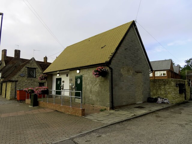
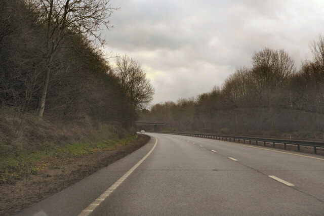
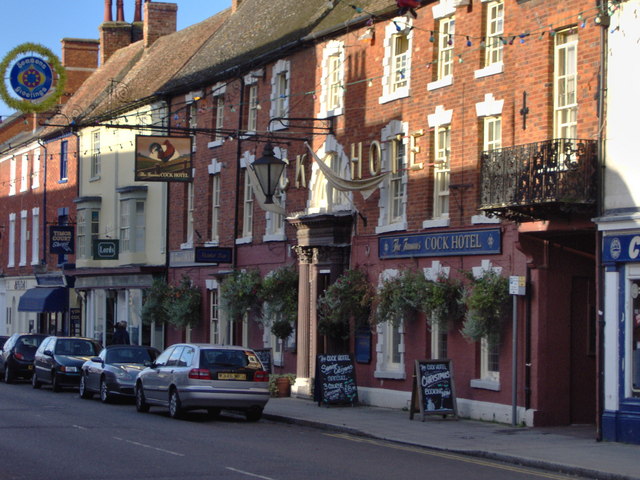
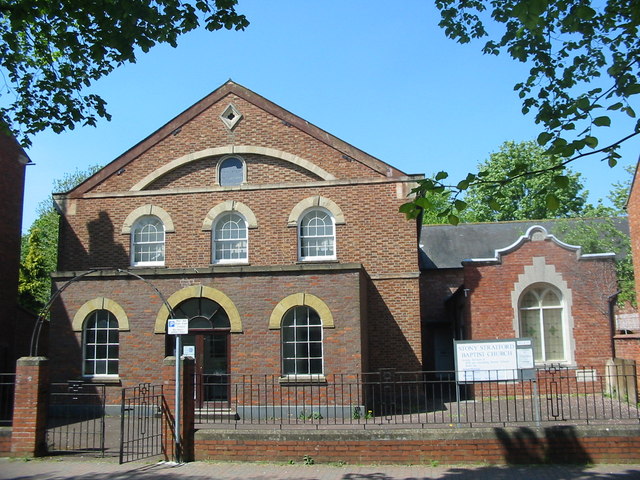
Fairfields Images
Images are sourced within 2km of 52.042431/-0.833854 or Grid Reference SP8038. Thanks to Geograph Open Source API. All images are credited.


Fairfields is located at Grid Ref: SP8038 (Lat: 52.042431, Lng: -0.833854)
Unitary Authority: Milton Keynes
Police Authority: Thames Valley
What 3 Words
///estimated.office.relaxing. Near Calverton, Buckinghamshire
Nearby Locations
Related Wikis

Fairfields
Fairfields is a neighbourhood and civil parish that covers a large new development area on the western flank of Milton Keynes, Buckinghamshire, England...

Calverton, Buckinghamshire
Calverton is a civil parish in the unitary authority area of the City of Milton Keynes, Buckinghamshire, England and just outside the Milton Keynes urban...
Watling Academy
Watling Academy is a coeducational secondary school located in the Whitehouse area of Milton Keynes, in the English county of Buckinghamshire. == History... ==
Whitehouse, Milton Keynes
Whitehouse is a neighbourhood and civil parish that covers a large new development area on the western flank of Milton Keynes, Buckinghamshire, England...
Abbey Hill
Abbey Hill is a civil parish that covers the Two Mile Ash, Kiln Farm, and Wymbush districts of Milton Keynes in Buckinghamshire, England. As the first...
The Radcliffe School
The Radcliffe School is a comprehensive school located in Wolverton, Milton Keynes, England. The school offers General Certificates of Secondary Education...
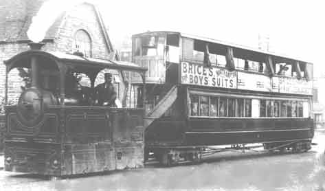
Wolverton and Stony Stratford Tramway
The Wolverton and Stony Stratford Tramway was a narrow gauge street tramway connecting Wolverton railway station and the Wolverton Works of the London...

Two Mile Ash
Two Mile Ash is a district of north-west Milton Keynes in Buckinghamshire, England, two miles south of Stony Stratford, just off Watling Street. The district...
Nearby Amenities
Located within 500m of 52.042431,-0.833854Have you been to Fairfields?
Leave your review of Fairfields below (or comments, questions and feedback).