Brockamin
Settlement in Worcestershire Malvern Hills
England
Brockamin

Brockamin is a small village located in the county of Worcestershire, England. Situated in the Malvern Hills District, this picturesque village is nestled amidst rolling green countryside and offers a peaceful and idyllic setting for its residents and visitors alike.
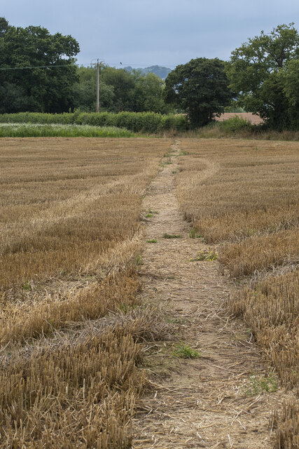
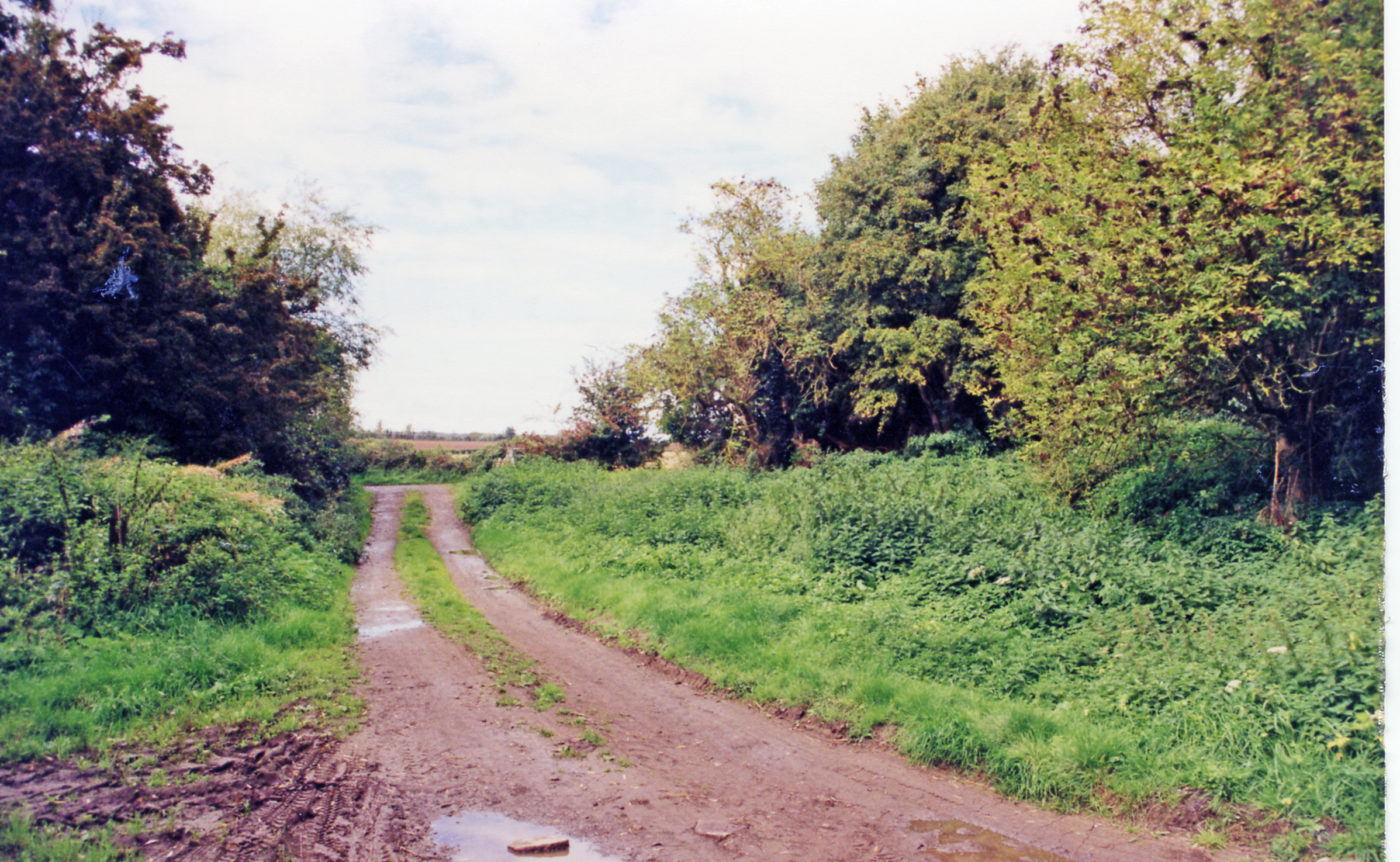
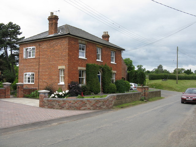
The village is characterized by its charming rural atmosphere, with a scattering of traditional cottages and farmhouses dotting its landscape. The surrounding countryside provides ample opportunities for outdoor activities such as hiking, cycling, and horseback riding, making it a popular destination for nature enthusiasts.
Despite its small size, Brockamin is well-connected to nearby towns and cities. The village benefits from good transportation links, with regular bus services connecting it to Worcester, which is approximately 7 miles away. The nearby M5 motorway also provides easy access to larger urban centers, including Birmingham and Gloucester.
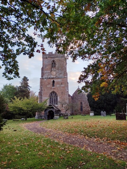
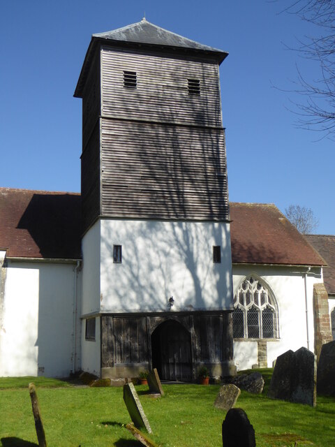
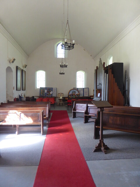
In terms of amenities, Brockamin boasts a close-knit community with a village hall that serves as a hub for social gatherings and events. The village is also home to a historic church, adding to its cultural heritage and charm.
Overall, Brockamin offers a tranquil and scenic retreat from the hustle and bustle of city life. Its stunning natural surroundings, convenient location, and strong sense of community make it an appealing place to live or visit for those seeking a quieter, countryside lifestyle.
If you have any feedback on the listing, please let us know in the comments section below.
Brockamin Images
Images are sourced within 2km of 52.178347/-2.333409 or Grid Reference SO7753. Thanks to Geograph Open Source API. All images are credited.


Brockamin is located at Grid Ref: SO7753 (Lat: 52.178347, Lng: -2.333409)
Administrative County: Worcestershire
District: Malvern Hills
Police Authority: West Mercia
What 3 Words
///opinion.clincher.next. Near Lower Broadheath, Worcestershire
Nearby Locations
Related Wikis

Malvern Hills District
Malvern Hills is a local government district in Worcestershire, England. Its council is based in the town of Malvern, and its area covers most of the western...
Leigh Court railway station
Leigh Court railway station was a station in Leigh, Worcestershire, England. The station was opened on 2 May 1874 and closed on 7 September 1964. ��2...
Leigh, Worcestershire
Leigh is a village and civil parish (with a parish council shared with Bransford) in the Malvern Hills district of the county of Worcestershire, England...
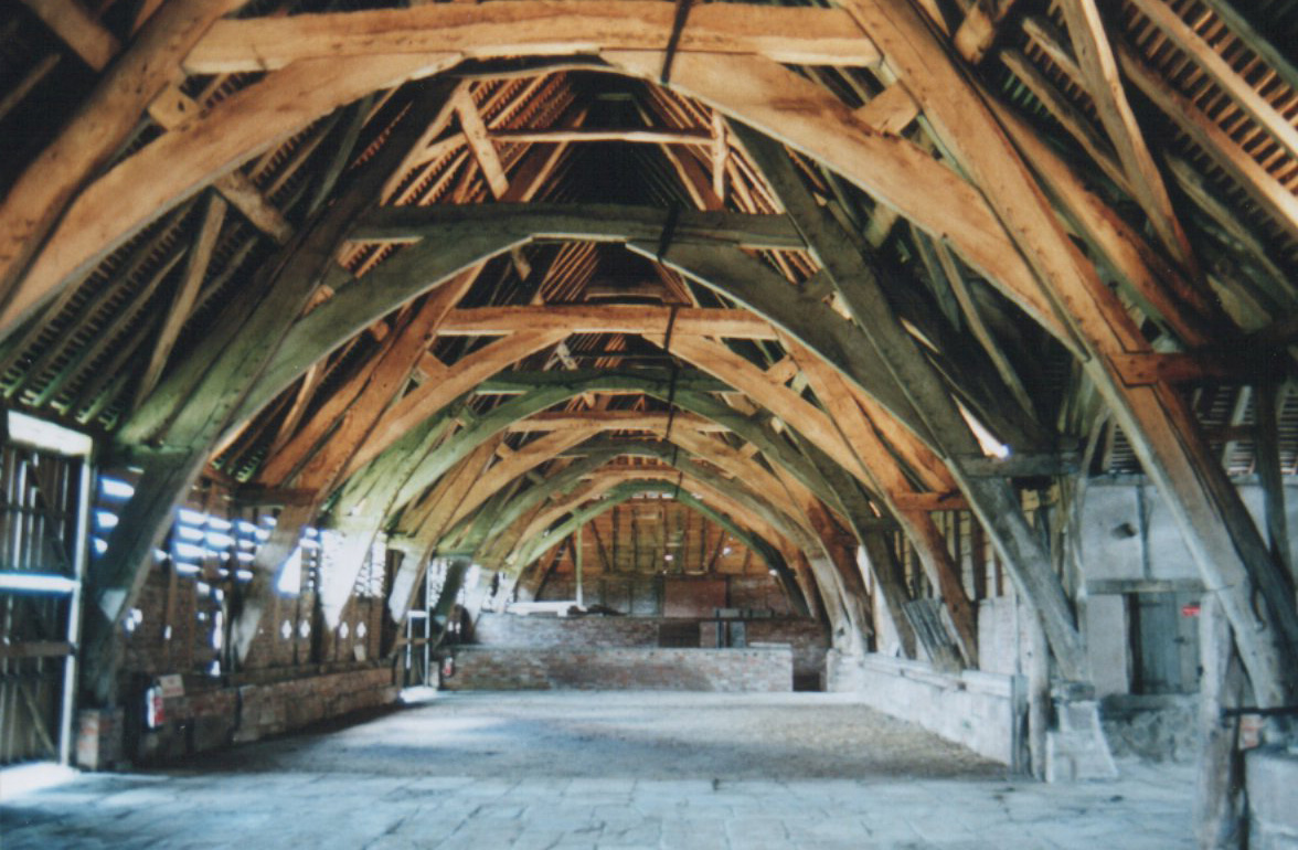
Leigh Court Barn
Leigh Court Barn is a cruck framed barn at Leigh, Worcestershire, England, built in the early fourteenth century to store produce for Pershore Abbey. It...

Leigh and Bransford
Leigh and Bransford are two separate civil parishes in the district of Malvern Hills of the county of Worcestershire, England, with a single parish council...
Cotheridge Court
Cotheridge Court is a Grade II* listed ancient manor house situated in the south-western part of Cotheridge, in the county of Worcestershire, England,...

Bransford
Bransford is a village and civil parish in the Malvern Hills district of the county of Worcestershire, England. It is situated close to the River Teme...

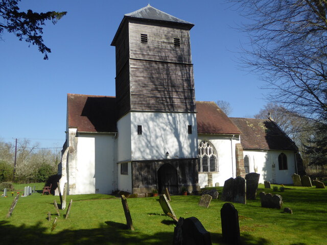
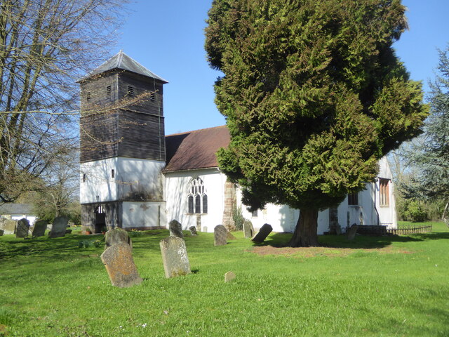
St Leonard's Church, Cotheridge
St. Leonard's Church is a small, 12th-century church located in the scattered village of Cotheridge in Worcestershire. It stands not far from the manor...
Nearby Amenities
Located within 500m of 52.178347,-2.333409Have you been to Brockamin?
Leave your review of Brockamin below (or comments, questions and feedback).