Brock Hill

Settlement in Essex Chelmsford

England

Brock Hill

View north of the railway Fields with Downham Church in the background, taken from the railway between Billericay and Wickford.
View north of the railway Credit: Trevor Harris

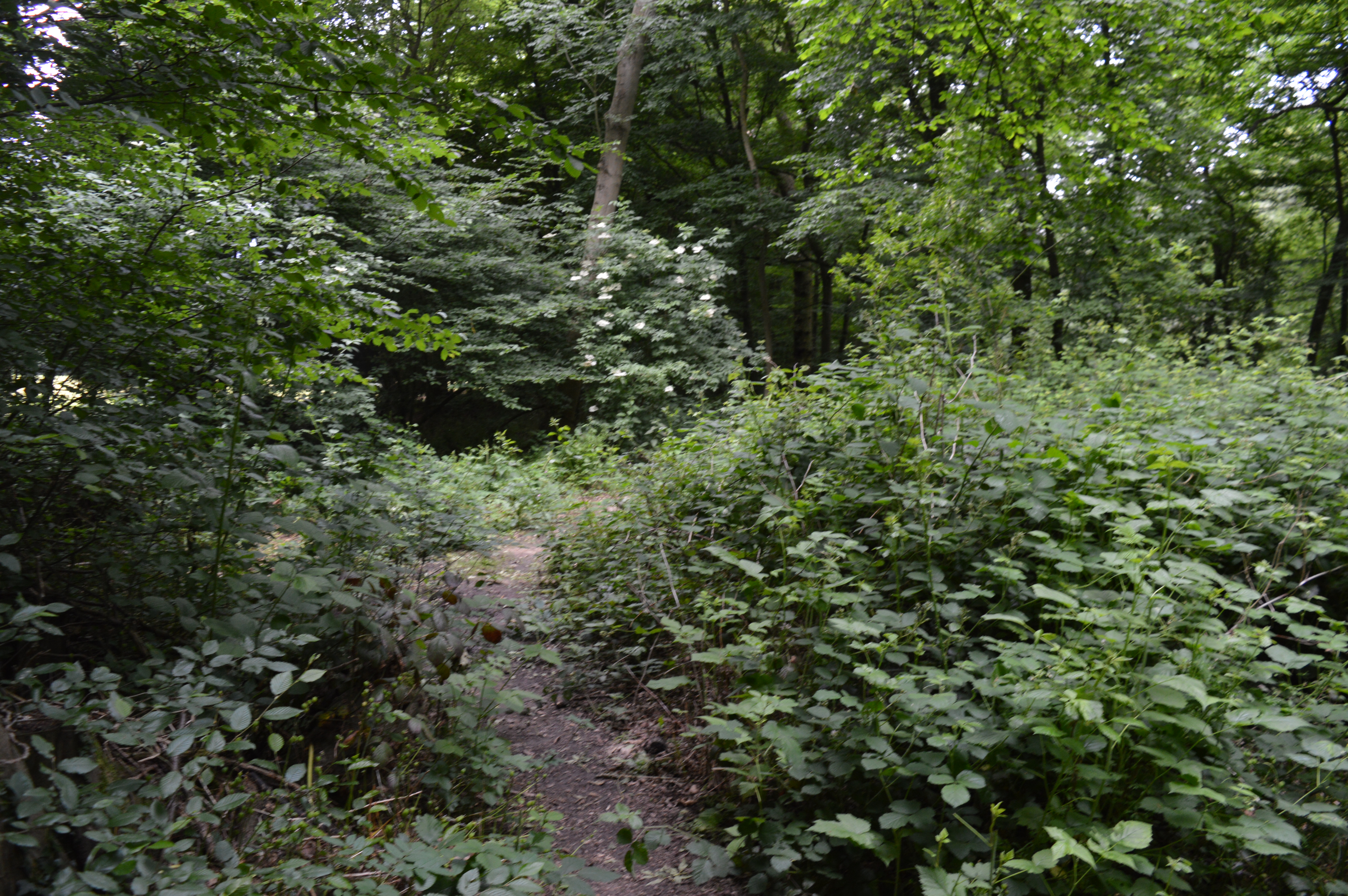
Brock Hill is a small village located in the county of Essex, in the eastern part of England. Situated near the market town of Chelmsford, it is part of the civil parish of Boreham and is surrounded by picturesque countryside. The village is situated on elevated ground, providing stunning views of the surrounding landscape.

Brock Hill is known for its peaceful and rural setting, making it an ideal place for those seeking a tranquil lifestyle away from the hustle and bustle of city life. The village is characterized by its charming cottages and traditional architecture, which adds to its unique appeal.

The community in Brock Hill is tight-knit and friendly, with a strong sense of community spirit. Residents often engage in various social activities and events, fostering a sense of belonging and unity among the villagers. Additionally, the village has a primary school, providing education for the local children.

Despite its small size, Brock Hill offers easy access to amenities and services. Nearby towns and cities, such as Chelmsford, provide residents with a range of shopping facilities, healthcare services, and recreational activities. The village is also well-connected to major road networks, allowing for convenient transportation to other parts of Essex and beyond.

Overall, Brock Hill is an idyllic village with a strong sense of community, offering a peaceful and picturesque setting for its residents.

If you have any feedback on the listing, please let us know in the comments section below.
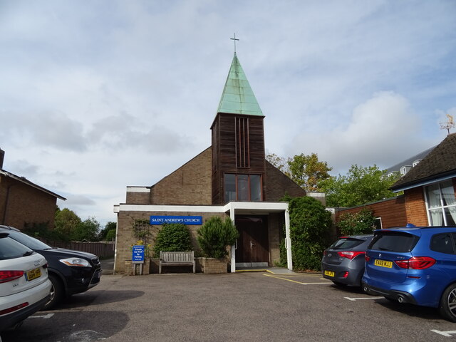
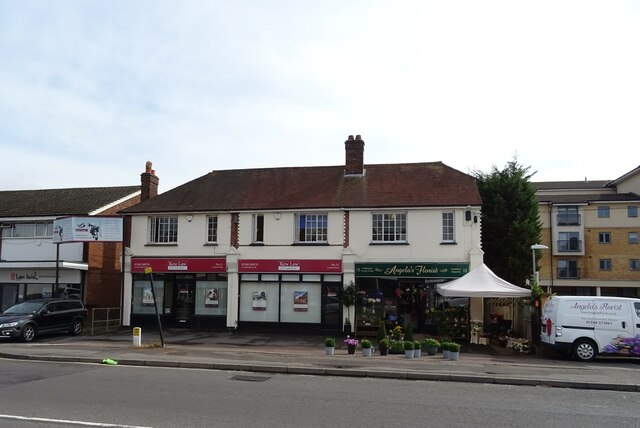
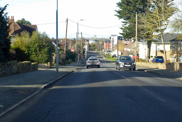
Brock Hill Images

Images are sourced within 2km of 51.629028/0.517425 or Grid Reference TQ7495. Thanks to Geograph Open Source API. All images are credited.

View north of the railway Fields with Downham Church in the background, taken from the railway between Billericay and Wickford.
View north of the railway
Fields with Downham Church in the background, taken from the railway between Billericay and Wickford.
Bourn Hall Fertility Clinic, Wickford
St Andrew's Church, Wickford
Grazing near Wickford
Stubble field near Wickford
Businesses on London Road (A129), Wickford
Royal Mail parcel / business postbox on London Road (A129), Wickford Postbox No. SS12 1139.
Royal Mail parcel / business postbox on London Road (A129), Wickford
Postbox No. SS12 1139.
Elizabeth II postbox on London Road (A129), Wickford Postbox No. SS12 139.
Elizabeth II postbox on London Road (A129), Wickford
Postbox No. SS12 139.
Service station on Runwell Road, Wickford
Houses on Southend Road, Wickford
Southend Road (A129), Wickford
Wickford Railway Station Wickford is on the Shenfield to Southend Victoria line, served by trains from Liverpool Street. It is also the junction for the Southminster line.
Wickford Railway Station
Wickford is on the Shenfield to Southend Victoria line, served by trains from Liverpool Street. It is also the junction for the Southminster line.
Downham, St Margaret
St. Luke's Way, Runwell A fairly new development on the site of Runwell mental hospital.
St. Luke's Way, Runwell
A fairly new development on the site of Runwell mental hospital.
A129 Southend Road, Wickford Gently downhill towards the town centre.
A129 Southend Road, Wickford
Gently downhill towards the town centre.
Block with clock tower, former Runwell Hospital A surviving building at the mental hospital site, which has been redeveloped with a large housing estate, Runwell Park.
Block with clock tower, former Runwell Hospital
A surviving building at the mental hospital site, which has been redeveloped with a large housing estate, Runwell Park.
Brock Hill, Runwell
Brock Hill, Runwell
Brock Hill, Runwell
Brock Hill, Runwell
Show me another place!

Brock Hill is located at Grid Ref: TQ7495 (Lat: 51.629028, Lng: 0.517425)

Administrative County: Essex

District: Chelmsford

Police Authority: Essex

What 3 Words

///glows.onlookers.ourselves. Near Wickford, Essex

Nearby Locations

Brock Hill Moorgarden Wood

Related Wikis

A132 road (England)

The A132 road is a road in England connecting Pitsea and South Woodham Ferrers. == Route description == The A132 starts from a roundabout next to the A13...

Wickford railway station

Wickford railway station is on the Shenfield to Southend Line and is also the western terminus of the Crouch Valley Line in the east of England, serving...

Runwell

Runwell is a village near Wickford and a civil parish on the A132 road, in the Chelmsford District, in the English county of Essex. The village is surrounded...

Runwell Hospital

Runwell Hospital was a hospital in the Chelmsford district of Essex. It was managed by the South Essex Partnership University NHS Foundation Trust. �...
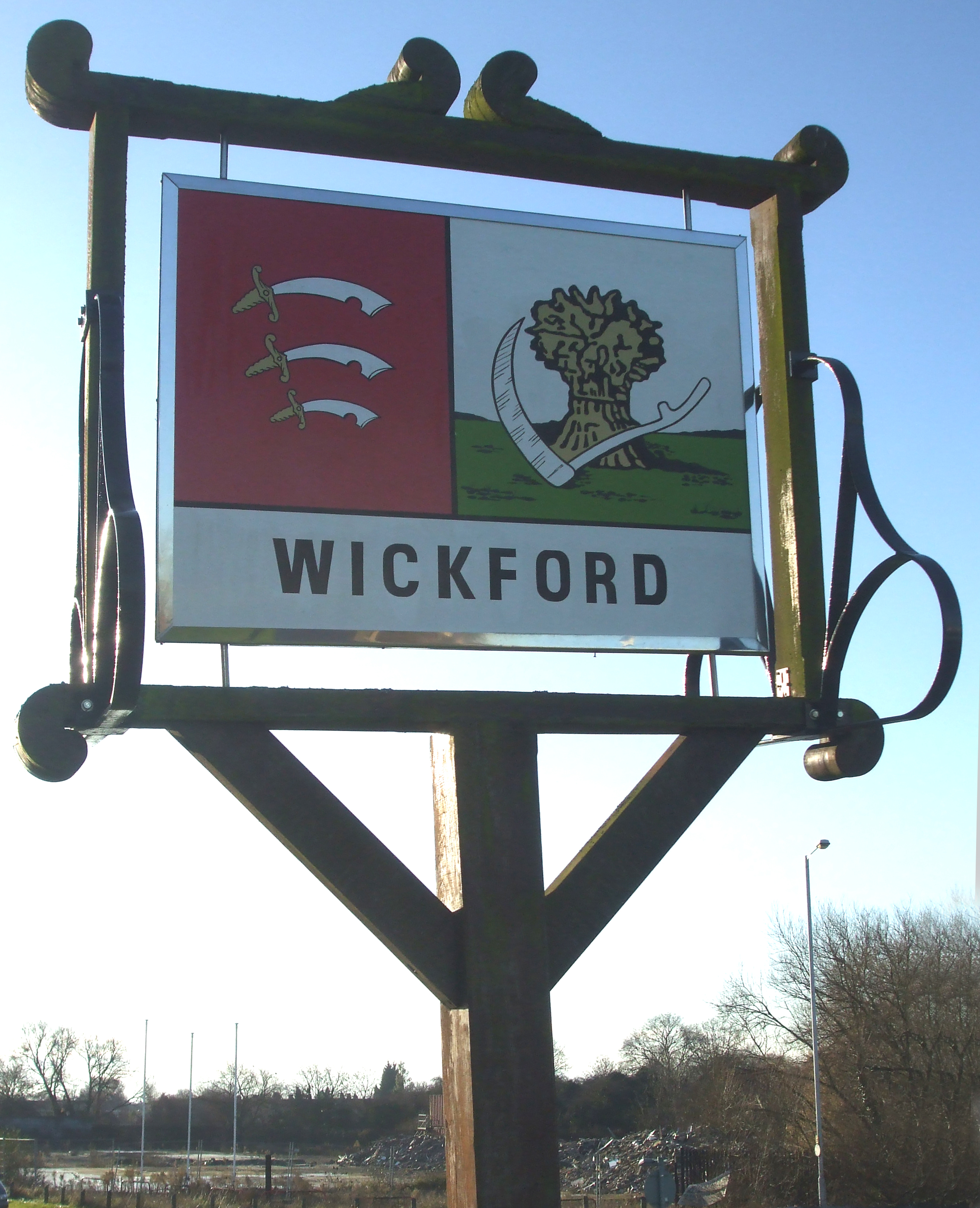
Wickford

Wickford is a town and civil parish in the south of the English county of Essex, with a population of 33,486. Located approximately 30 miles (50 km) east...

Crowsheath Wood

Crowsheath Wood (or Thrift Wood) is an 8.1-hectare (20-acre) nature reserve in Downham, between Billericay and South Woodham Ferrers in Essex. It is managed...

Downham, Essex

Downham is a small village and former civil parish, now in the parish of South Hanningfield, in the City of Chelmsford district, Essex, England. It is...
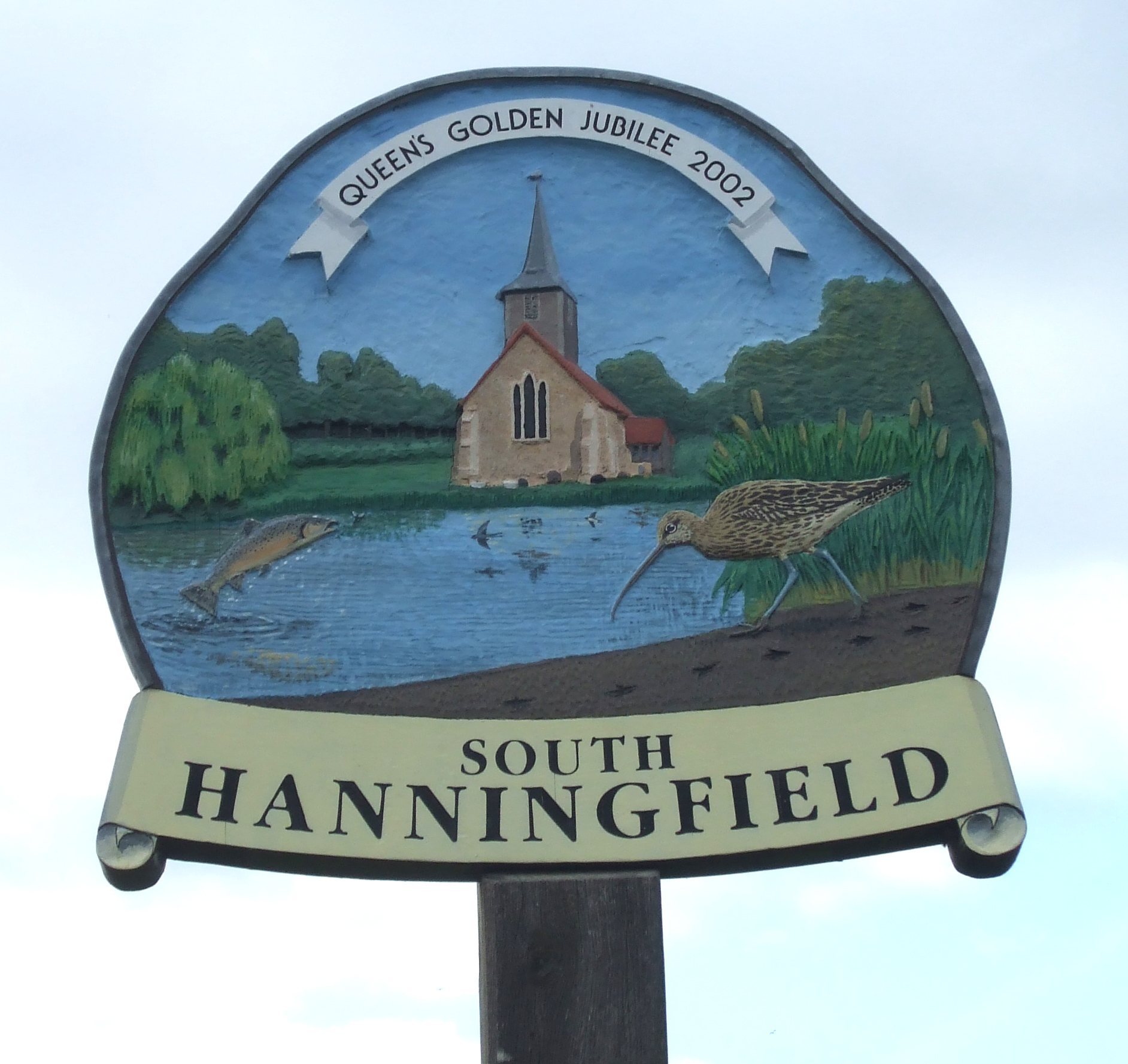
South Hanningfield

South Hanningfield is a small village and civil parish in the Chelmsford district of Essex, England. The village is located on the south bank of the Hanningfield...

Nearby Amenities

Located within 500m of 51.629028,0.517425
Post Box
Lat/Long: 51.6301744/0.5160204
Bus Stop
Public Transport: platform
Lat/Long: 51.6252021/0.520472
Bus Stop
Public Transport: platform
Lat/Long: 51.6249809/0.5204985
Bus Stop
Public Transport: platform
Lat/Long: 51.6275698/0.5190674
Bus Stop
Public Transport: platform
Lat/Long: 51.6298351/0.516431
Bus Stop
Wantz Corner
Naptan AtcoCode: 15001001004
Naptan Bearing: N
Naptan CommonName: Wantz Corner
Naptan Crossing: Carlton Road
Naptan Indicator: N-bound
Naptan Landmark: Wantz Corner
Naptan NaptanCode: esxdjwgd
Naptan PlusbusZoneRef: WIKFORD
Naptan Street: Brock Hill
Naptan Verified: no
Public Transport: platform
Source: naptan_import
Lat/Long: 51.6255401/0.5201521
Bus Stop
The Greenway
Naptan AtcoCode: 15001001007
Naptan Bearing: SE
Naptan CommonName: The Greenway
Naptan Crossing: The Greenway
Naptan Indicator: Opp
Naptan Landmark: The Greenway
Naptan NaptanCode: esxdmadp
Naptan Street: Brock Hill
Naptan Verified: no
Public Transport: platform
Source: naptan_import
Lat/Long: 51.6300207/0.5162964
The Greenway
Naptan AtcoCode: 150010010Y7
Naptan Bearing: NW
Naptan BusStopType: CUS
Naptan CommonName: The Greenway
Naptan Crossing: The Greenway
Naptan Indicator: Adj
Naptan Landmark: The Greenway
Naptan NaptanCode: esxgpwda
Naptan Street: Brock Hill
Naptan Verified: no
Public Transport: platform
Source: naptan_import
Lat/Long: 51.6299411/0.5162342
Brock Hill Farm
Naptan AtcoCode: 1500DGK009
Naptan Bearing: N
Naptan BusStopType: CUS
Naptan CommonName: Brock Hill Farm
Naptan Indicator: Opp
Naptan Landmark: Brock Hill Farm
Naptan NaptanCode: esxgmdmj
Naptan Street: Brock Hill
Naptan Verified: no
Public Transport: platform
Source: naptan_import
Lat/Long: 51.6326948/0.5144748
Bus Stop
Downham Road
Naptan AtcoCode: 1500IM456
Naptan Bearing: S
Naptan CommonName: Downham Road
Naptan Crossing: Downham Road
Naptan Indicator: Opp
Naptan Landmark: Downham Road
Naptan NaptanCode: esxdjwgm
Naptan PlusbusZoneRef: WIKFORD
Naptan Street: Brock Hill
Naptan Verified: no
Public Transport: platform
Source: naptan_import
Lat/Long: 51.6279503/0.5188985
Bus Stop
Downham Road
Naptan AtcoCode: 1500IM456B
Naptan Bearing: N
Naptan CommonName: Downham Road
Naptan Crossing: Downham Road
Naptan Indicator: Adj
Naptan Landmark: Downham Road
Naptan NaptanCode: esxdjwgj
Naptan PlusbusZoneRef: WIKFORD
Naptan Street: Brock Hill
Naptan Verified: no
Public Transport: platform
Source: naptan_import
Lat/Long: 51.6276886/0.5189418
Brock Hill
Naptan AtcoCode: 1500IM749
Naptan Bearing: NE
Naptan BusStopType: CUS
Naptan CommonName: Brock Hill
Naptan Crossing: Brock Hill
Naptan Indicator: E-bound
Naptan Landmark: Brock Hill
Naptan NaptanCode: esxadgmt
Naptan PlusbusZoneRef: WIKFORD
Naptan Street: Alderney Gardens
Naptan Verified: no
Public Transport: platform
Source: naptan_import
Lat/Long: 51.6248934/0.5201162
Lindon Road
Naptan AtcoCode: 1500JMD023
Naptan Bearing: E
Naptan BusStopType: CUS
Naptan CommonName: Lindon Road
Naptan Crossing: Brock Hill
Naptan Indicator: E-bound
Naptan Landmark: Lindon Road
Naptan NaptanCode: esxjatwj
Naptan Street: Lindon Road
Naptan Verified: no
Public Transport: platform
Source: naptan_import
Lat/Long: 51.6282087/0.5181018
Bus Stop
Brock Hill Farm
Naptan AtcoCode: 1500DGK008
Naptan BusStopType: CUS
Naptan NaptanCode: esxgmdmg
Naptan Verified: no
Public Transport: platform
Source: naptan
Lat/Long: 51.6328538/0.5147107
The data included in this document is from www.openstreetmap.org. The data is made available under ODbL.

Have you been to Brock Hill?

Leave your review of Brock Hill below (or comments, questions and feedback).