Eversholt
Civil Parish in Bedfordshire
England
Eversholt
Eversholt is a civil parish located in the county of Bedfordshire, England. Situated in the southern part of the county, it is approximately 6 miles northwest of the town of Milton Keynes and 9 miles south of Bedford. The parish covers an area of around 1,300 acres and is home to a population of approximately 700 residents.
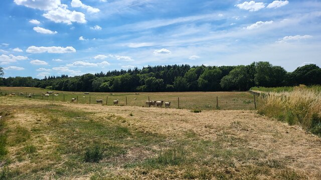
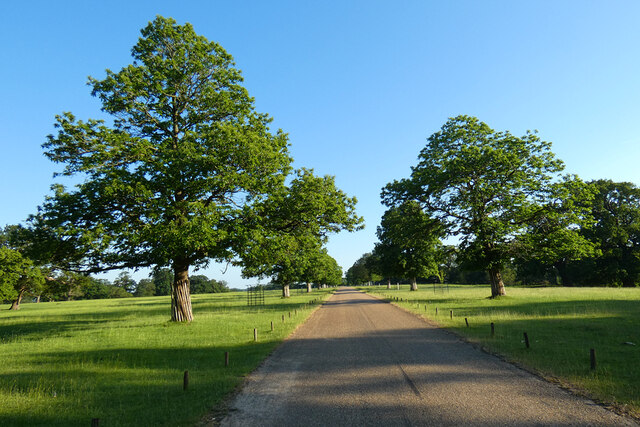
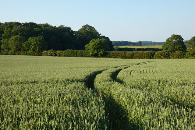
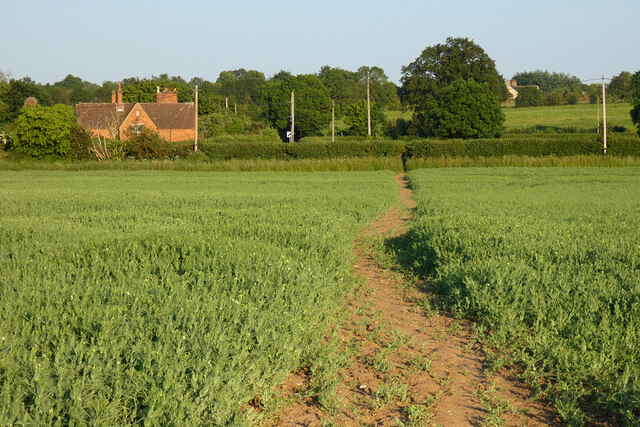
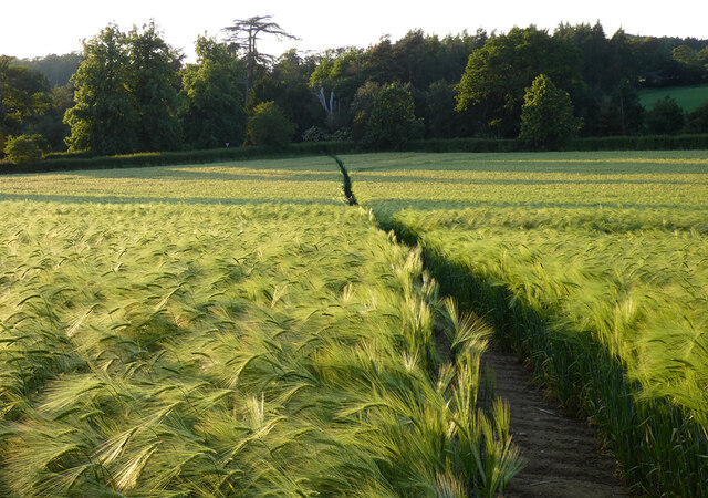
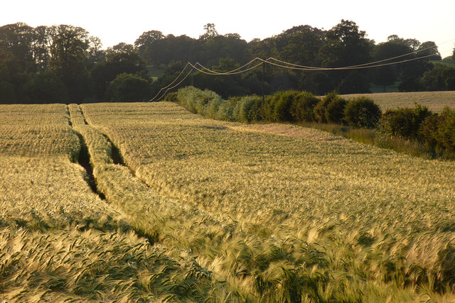
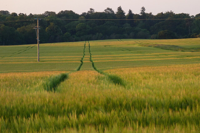
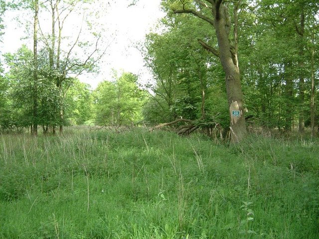
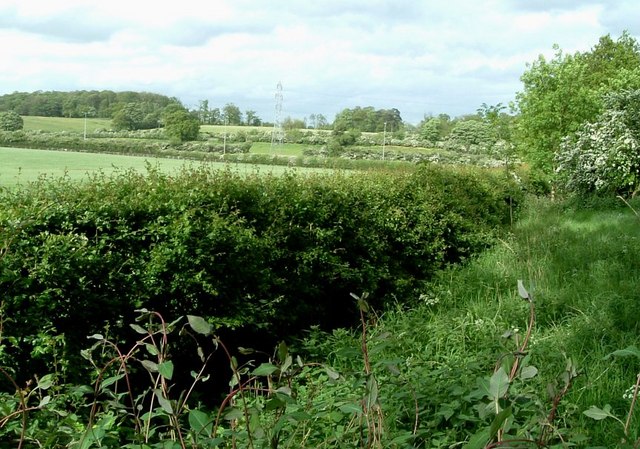
Eversholt boasts a rich history, with evidence of human settlement dating back to Roman times. The village itself is characterized by its picturesque countryside surroundings, featuring rolling hills, meadows, and woodlands. The village center is a quintessential English village, with charming thatched cottages and historic buildings.
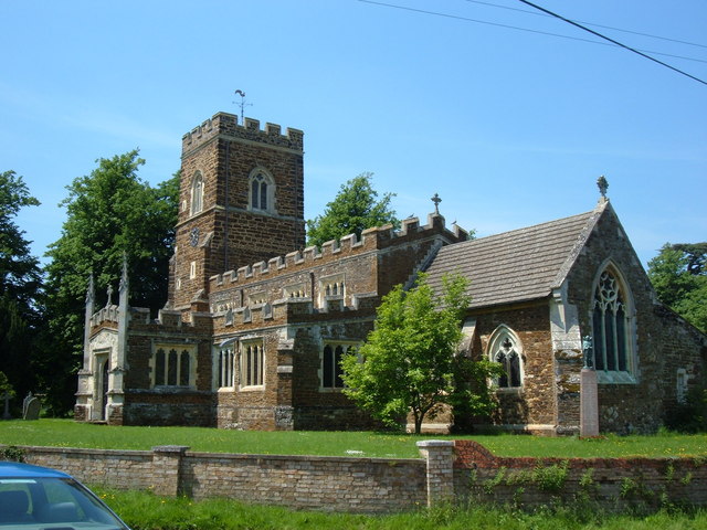
The heart of Eversholt is its 13th-century parish church, St. John the Baptist, which is a Grade I listed building. The church is known for its impressive architecture and houses a number of notable features, including a 15th-century font and a 17th-century pulpit.
The village also has a primary school, Eversholt Lower School, which serves the local community. Additionally, there is a village hall and a small community shop that caters to the daily needs of residents.
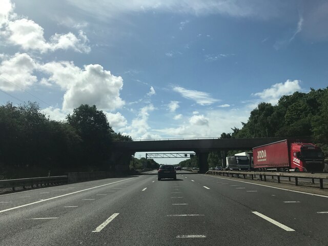
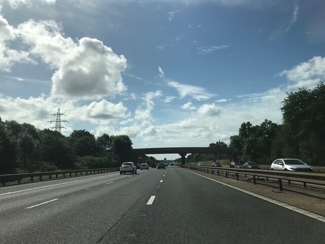
Eversholt offers a tranquil and idyllic rural setting, making it a desirable place to live for those seeking a peaceful lifestyle. It is well-connected to nearby towns and cities, with good transport links and easy access to major road networks.
If you have any feedback on the listing, please let us know in the comments section below.
Eversholt Images
Images are sourced within 2km of 51.991761/-0.564065 or Grid Reference SP9833. Thanks to Geograph Open Source API. All images are credited.


Eversholt is located at Grid Ref: SP9833 (Lat: 51.991761, Lng: -0.564065)
Unitary Authority: Central Bedfordshire
Police Authority: Bedfordshire
What 3 Words
///meanest.curly.resettle. Near Eversholt, Bedfordshire
Nearby Locations
Related Wikis

Froxfield, Bedfordshire
Froxfield is a small hamlet in Bedfordshire, England. == References == The geographic coordinates are from the Ordnance Survey.
Eversholt
Eversholt is a village and civil parish located in Bedfordshire, England. It was mentioned in the Domesday Book and is over 1000 years old. "Eversholt...

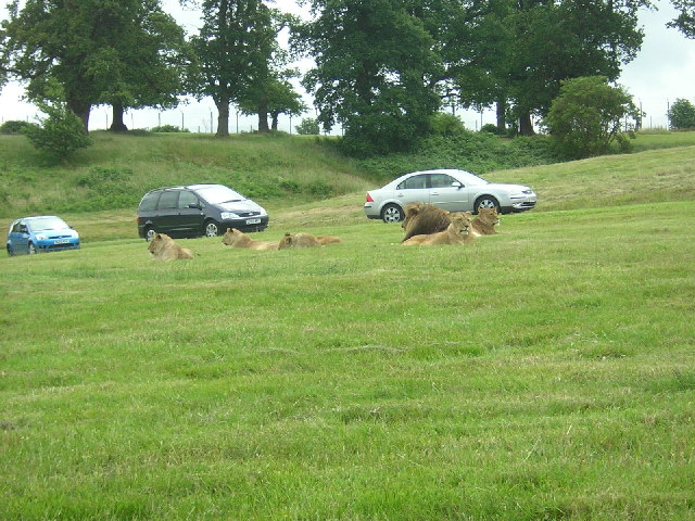
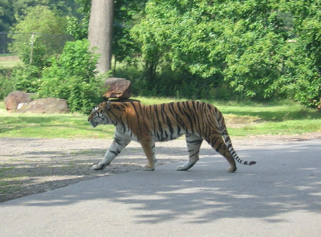
Woburn Safari Park
Woburn Safari Park is a safari park located in Woburn, Bedfordshire, England. Visitors to the park can drive through exhibits, which contain species such...
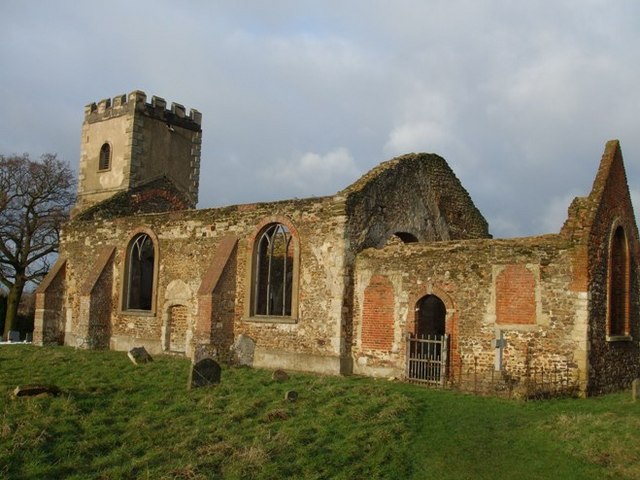
All Saints Church, Segenhoe
All Saints Church, Segenhoe is a ruined medieval church located near the village of Ridgmont, Bedfordshire. It contains architectural details that range...

Church of St Nicholas, Tingrith
The Church of St Nicholas is a Grade I listed church in Tingrith, Bedfordshire, England. It became a listed building on 23 January 1961.The brown sandstone...

Woburn Abbey
Woburn Abbey (), occupying the east of the village of Woburn, Bedfordshire, England, is a country house, the family seat of the Duke of Bedford. Although...
Tingrith
Tingrith is a small village and civil parish in Bedfordshire, England. It is located adjacent to the M1 motorway near the large village of Toddington....

Ridgmont
Ridgmont is a small village and civil parish in Bedfordshire, England. It is located beside junction 13 of the M1 motorway, and close to Milton Keynes...
Nearby Amenities
Located within 500m of 51.991761,-0.564065Have you been to Eversholt?
Leave your review of Eversholt below (or comments, questions and feedback).