Eversholt
Settlement in Bedfordshire
England
Eversholt

Eversholt is a small village located in the county of Bedfordshire, England. Situated approximately 6 miles south of the town of Woburn and 12 miles southeast of the city of Milton Keynes, Eversholt is a rural settlement surrounded by picturesque countryside.
The village is known for its rich history, with evidence of human occupation dating back to prehistoric times. It is believed that Eversholt was originally founded as a Saxon settlement, and it is mentioned in the Domesday Book of 1086. Over the centuries, the village has grown and evolved, while still managing to retain its traditional charm.
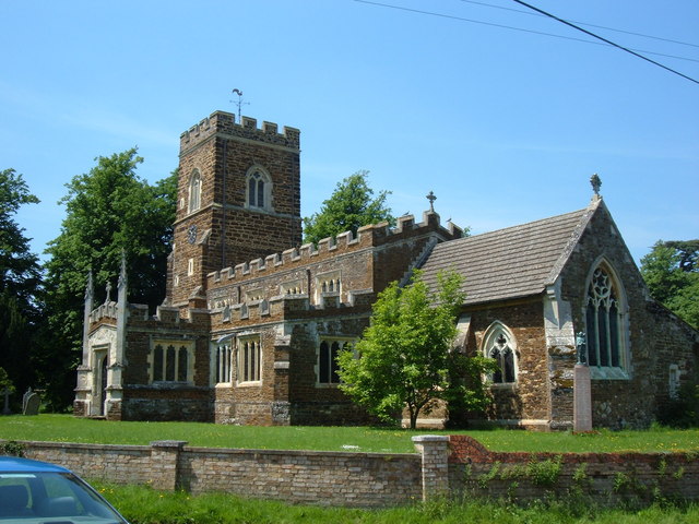
Eversholt is home to several notable landmarks, including the Grade I listed St. John the Baptist Church, which dates back to the 14th century and features beautiful stained glass windows and an ancient yew tree in the churchyard. The village also boasts a quaint village hall, a primary school, and a local pub, providing a sense of community for its residents.
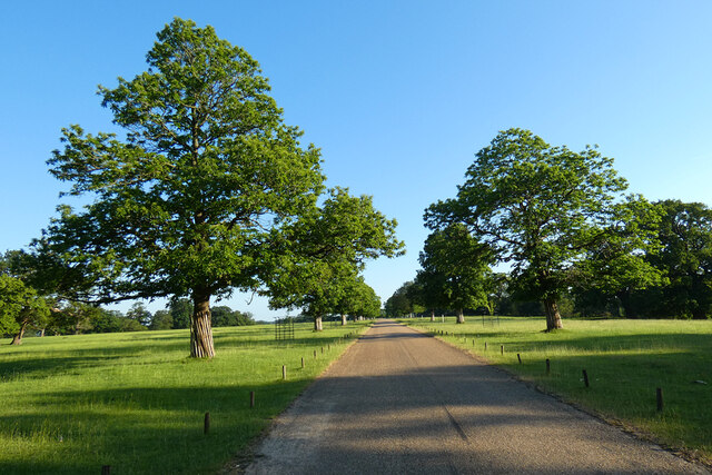
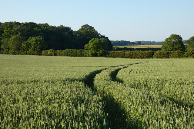
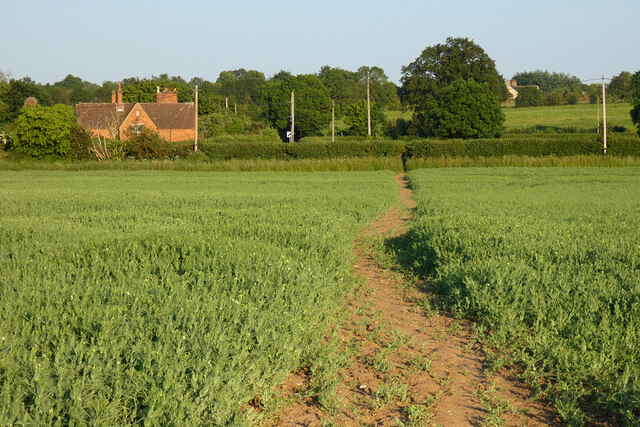
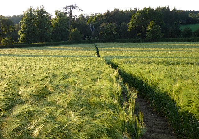
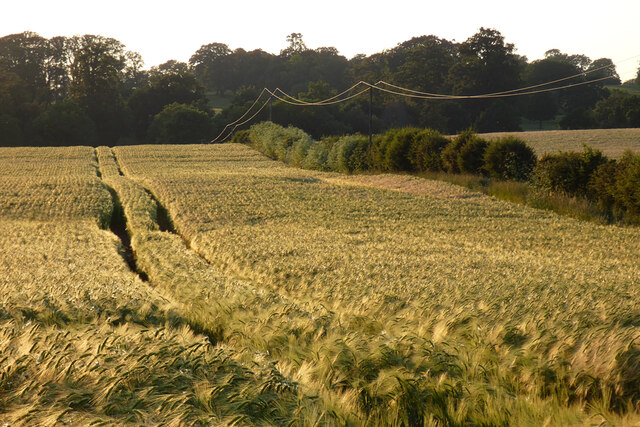
Surrounded by rolling hills and green fields, Eversholt offers a peaceful and idyllic setting for those seeking a rural lifestyle. The village is well-connected to nearby towns and cities, with good road links to the M1 motorway and access to public transportation.
Overall, Eversholt is a charming and historic village that offers a tranquil escape from the hustle and bustle of city life, while still providing convenient access to nearby amenities and attractions.
If you have any feedback on the listing, please let us know in the comments section below.
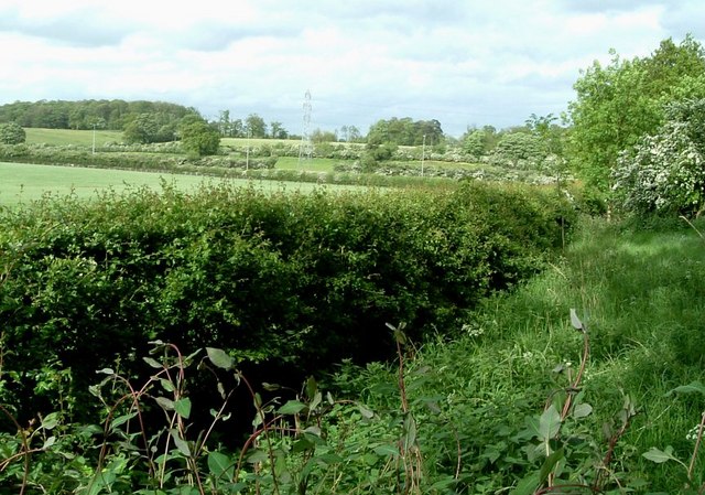
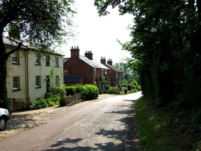
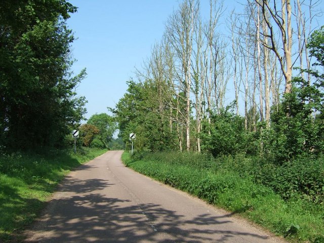
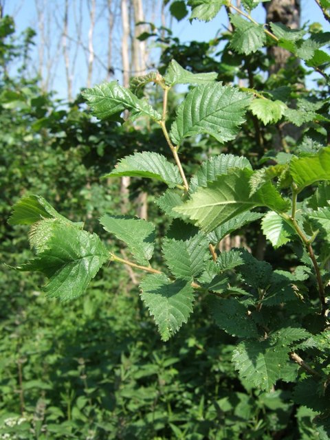
Eversholt Images
Images are sourced within 2km of 51.993098/-0.569717 or Grid Reference SP9833. Thanks to Geograph Open Source API. All images are credited.


Eversholt is located at Grid Ref: SP9833 (Lat: 51.993098, Lng: -0.569717)
Unitary Authority: Central Bedfordshire
Police Authority: Bedfordshire
What 3 Words
///plenty.typified.brotherly. Near Eversholt, Bedfordshire
Nearby Locations
Related Wikis

Froxfield, Bedfordshire
Froxfield is a small hamlet in Bedfordshire, England. == References == The geographic coordinates are from the Ordnance Survey.
Eversholt
Eversholt is a village and civil parish located in Bedfordshire, England. It was mentioned in the Domesday Book and is over 1000 years old. "Eversholt...

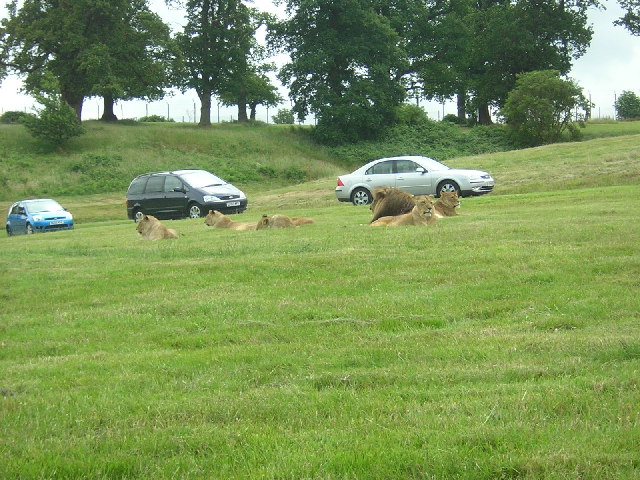
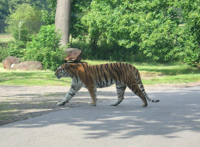
Woburn Safari Park
Woburn Safari Park is a safari park located in Woburn, Bedfordshire, England. Visitors to the park can drive through exhibits, which contain species such...
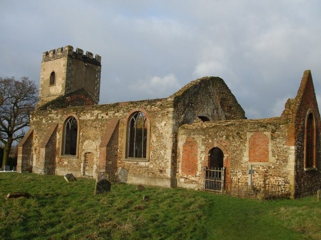
All Saints Church, Segenhoe
All Saints Church, Segenhoe is a ruined medieval church located near the village of Ridgmont, Bedfordshire. It contains architectural details that range...
Nearby Amenities
Located within 500m of 51.993098,-0.569717Have you been to Eversholt?
Leave your review of Eversholt below (or comments, questions and feedback).