Elvetham Heath
Civil Parish in Hampshire Hart
England
Elvetham Heath
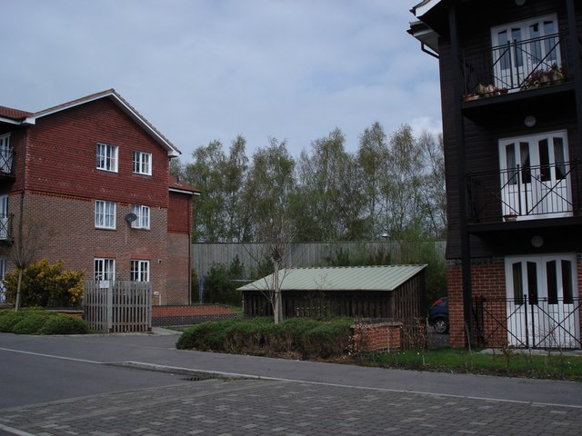
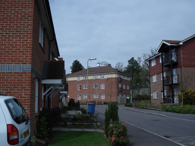
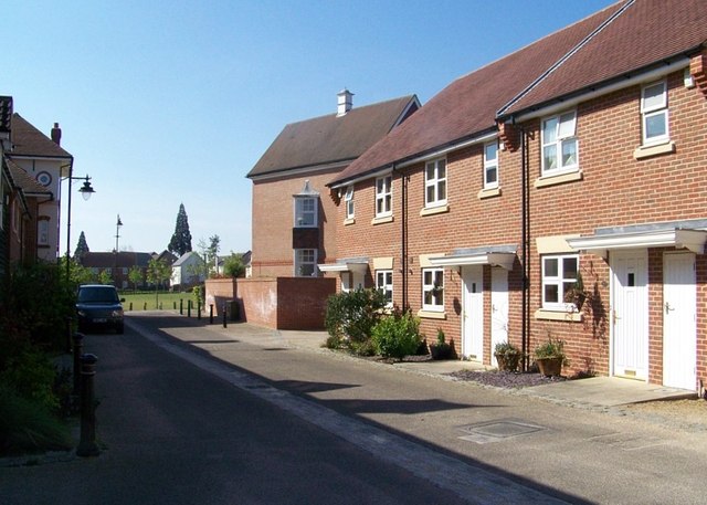
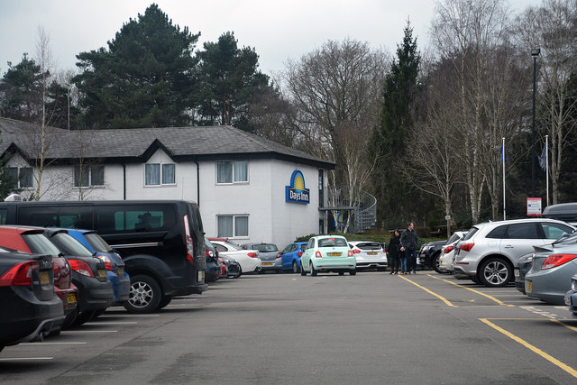
Elvetham Heath is a civil parish located in the county of Hampshire, England. Situated approximately 35 miles southwest of London, the parish covers an area of about 1.5 square miles. The area is primarily residential, with a mix of housing types including detached houses, townhouses, and apartments.
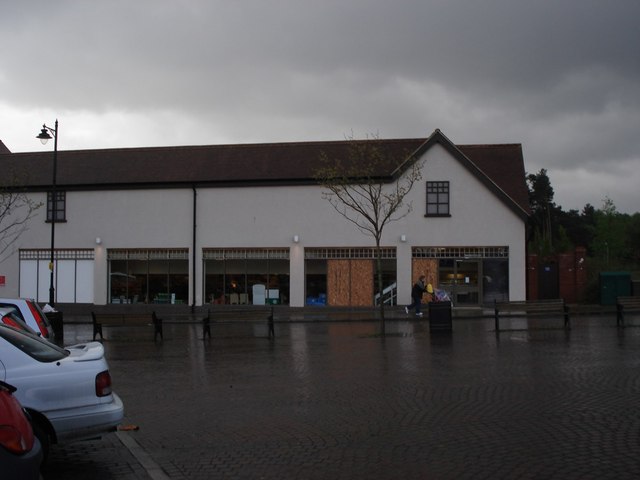
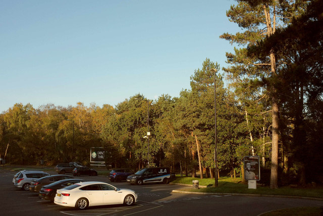
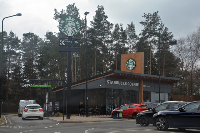
The development of Elvetham Heath began in the late 1990s and was completed in the early 2000s. It was designed as a self-contained community with a range of amenities, including a village center, schools, a community hall, and recreational facilities. The village center features a variety of shops, restaurants, and services, providing residents with convenient access to everyday necessities.
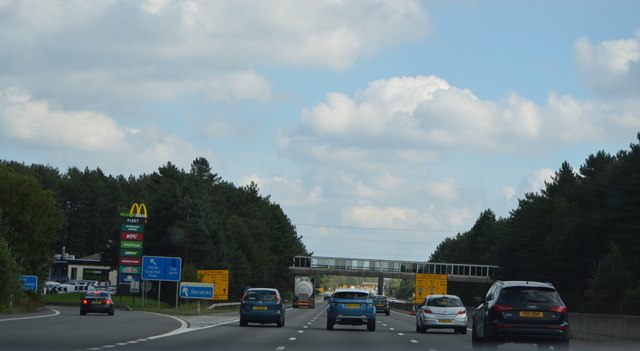
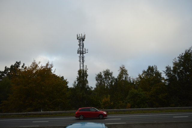
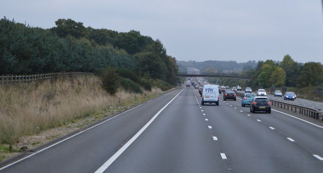
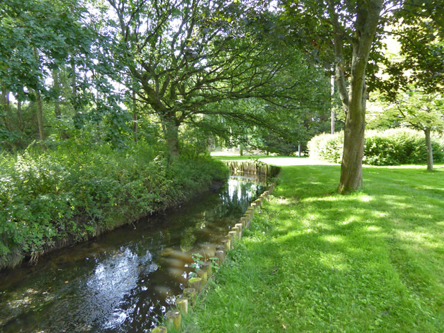
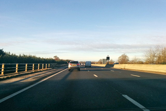
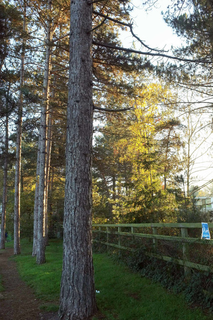
The parish is surrounded by open countryside, offering residents the opportunity to enjoy peaceful walks and outdoor activities. Additionally, Elvetham Heath benefits from excellent transport links, with easy access to major road networks such as the M3 and A30, making it an ideal location for commuters.
The community is well-served by public transportation, with regular bus services connecting Elvetham Heath to nearby towns and villages. The nearest railway station is Fleet, which provides direct trains to London Waterloo, Southampton, and other major cities.
Overall, Elvetham Heath offers a desirable living environment, combining modern amenities with a rural setting. It has become a popular choice for families and professionals seeking a well-connected and vibrant community in Hampshire.
If you have any feedback on the listing, please let us know in the comments section below.
Elvetham Heath Images
Images are sourced within 2km of 51.292719/-0.850969 or Grid Reference SU8055. Thanks to Geograph Open Source API. All images are credited.

Elvetham Heath is located at Grid Ref: SU8055 (Lat: 51.292719, Lng: -0.850969)
Administrative County: Hampshire
District: Hart
Police Authority: Hampshire
What 3 Words
///roughest.hooks.bounding. Near Fleet, Hampshire
Nearby Locations
Related Wikis

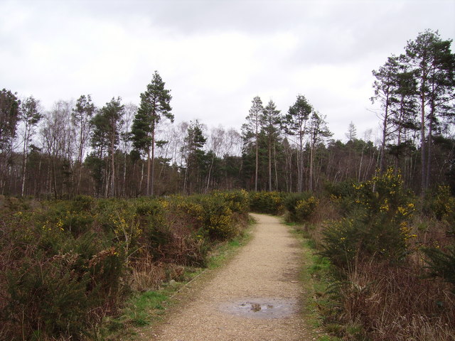
Elvetham Heath LNR
Elvetham Heath LNR is a 20-hectare (49-acre) local nature reserve in Elvetham Heath in Hampshire. It is owned by Elvetham Heath Developments (on a 999...
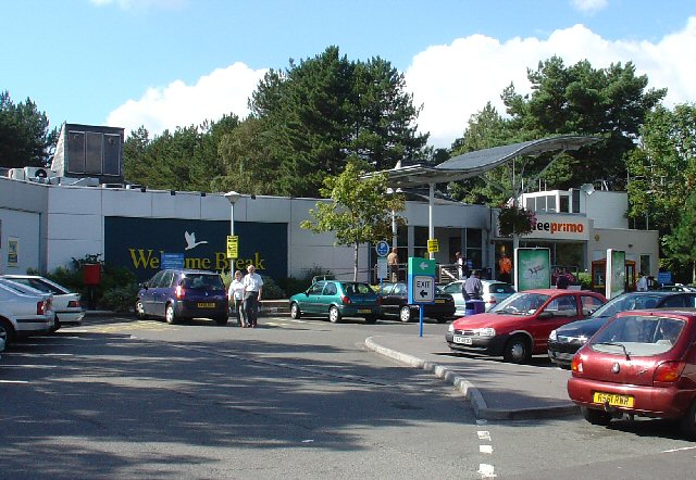
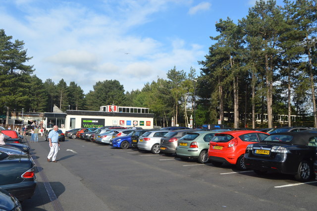
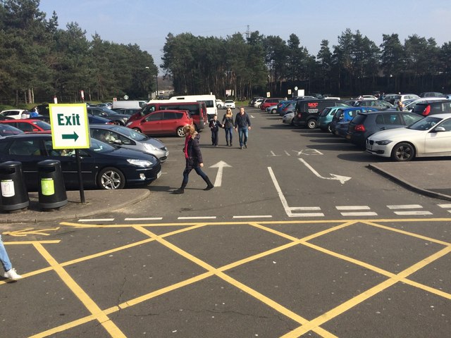
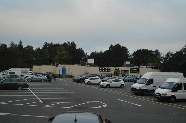
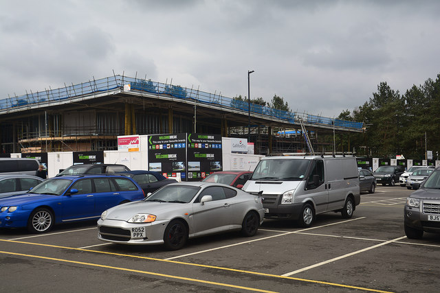
Fleet services
Fleet Services is a motorway service station on the M3 near Fleet. It is operated by Welcome Break. == History == Opened in 1973, it was originally built...
Elvetham Heath
Elvetham Heath is a residential area and civil parish, containing around 2000 homes on a 311-acre (1.26 km2) site, just outside the north western boundary...

Fleet, Hampshire
Fleet is a town and civil parish in the Hart District of Hampshire, England, centred 38.2 miles (61.5 km) WSW of London and 13 miles (21 km) east of Basingstoke...
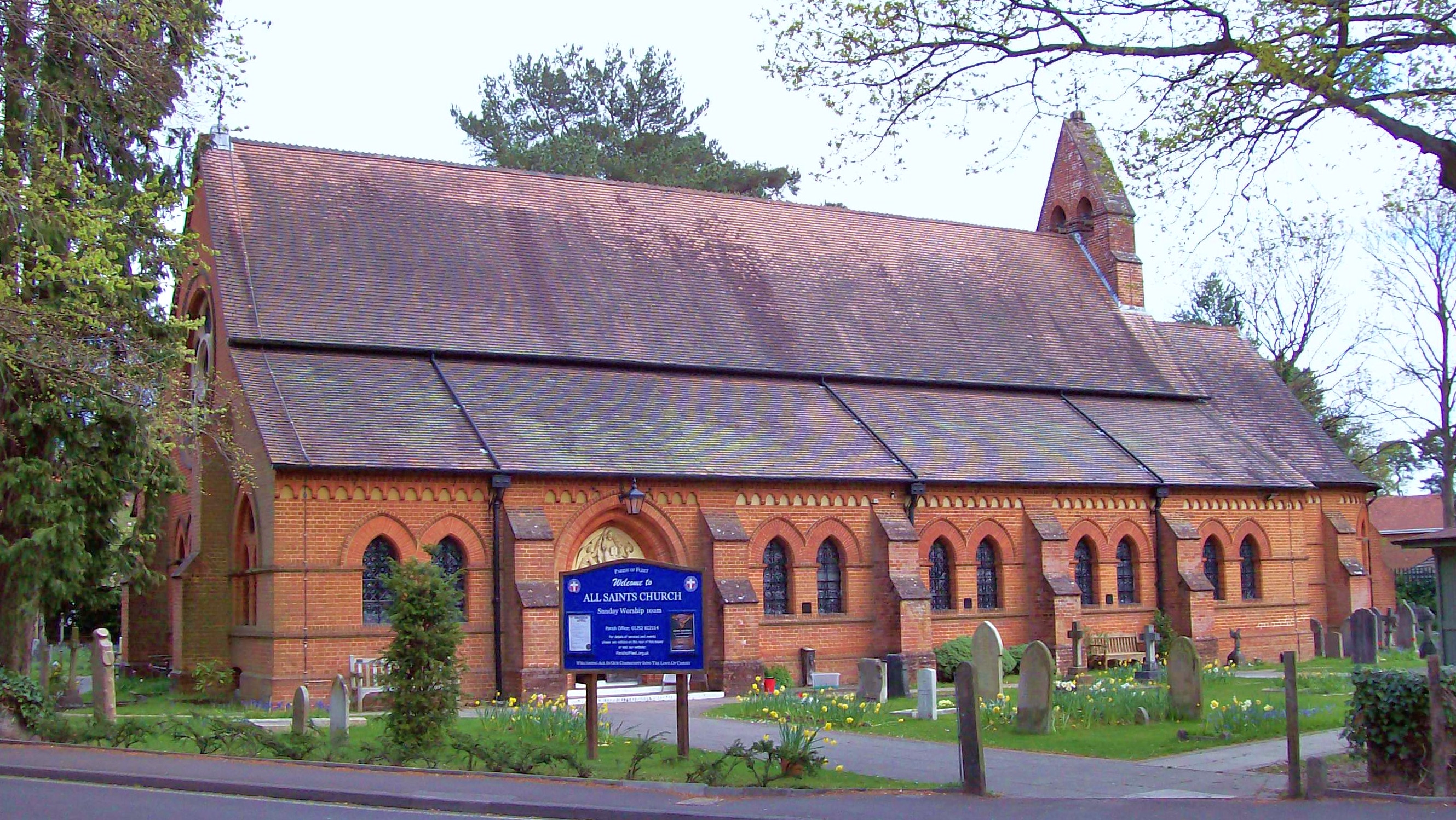
All Saints Church, Fleet
All Saints' Church is the Anglican parish church of the town of Fleet in the county of Hampshire, England. It is notable for its architect, William Burges...
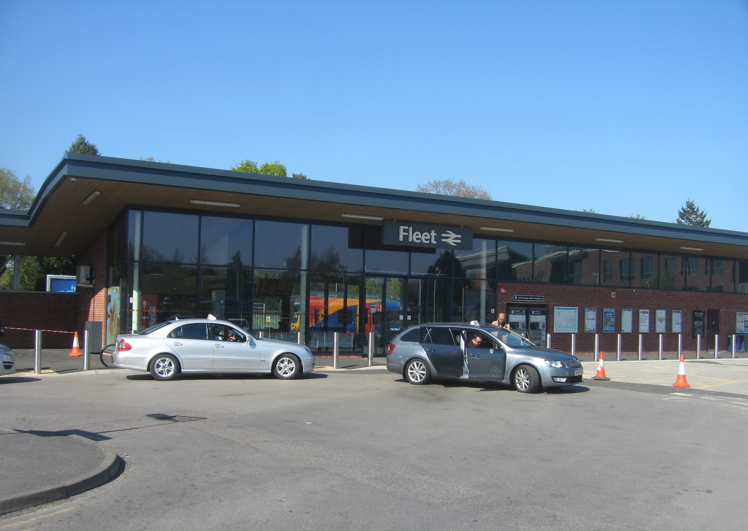
Fleet railway station
Fleet railway station serves the town of Fleet in Hampshire, England. It is situated on the South West Main Line, which has four tracks through the station...

Hart District
Hart is a local government district in Hampshire, England, named after the River Hart. Its council is based in Fleet. The district also contains the towns...
Calthorpe Park School
Calthorpe Park School is one of two secondary schools in Fleet, Hampshire, England. for pupils aged 11–16. The school was awarded specialist status as...
Related Videos


Minley Woods
Another walk with Luna-tic Pooches.


Nearby Amenities
Located within 500m of 51.292719,-0.850969Have you been to Elvetham Heath?
Leave your review of Elvetham Heath below (or comments, questions and feedback).