Eltisley
Civil Parish in Cambridgeshire South Cambridgeshire
England
Eltisley
Eltisley is a civil parish located in the county of Cambridgeshire, England. Situated approximately 10 miles west of the city of Cambridge, Eltisley covers an area of about 2.6 square miles and has a population of around 1,000 residents.
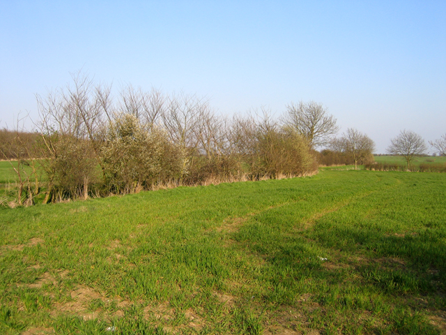
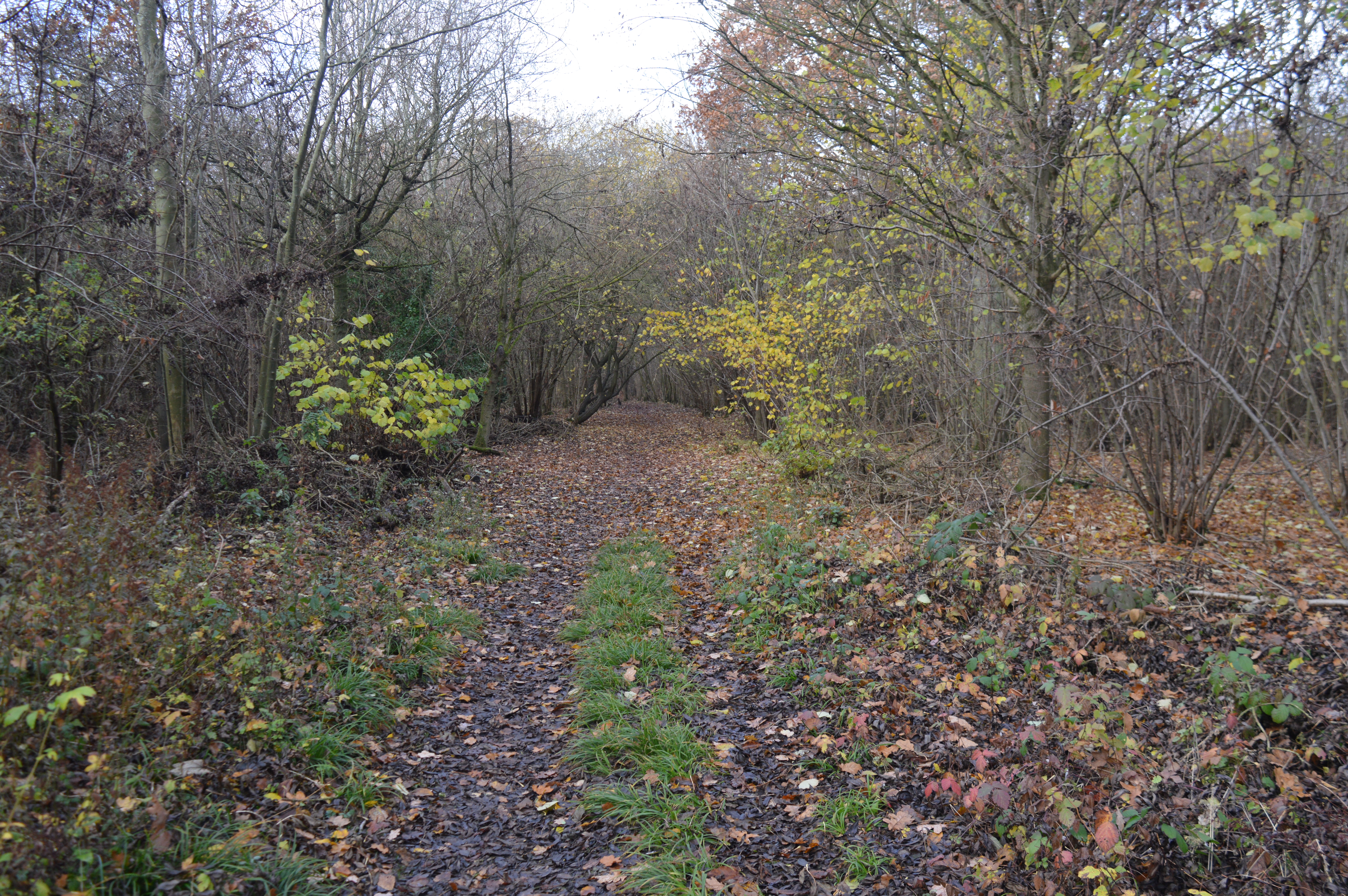
The village of Eltisley boasts a rich history, with evidence of human settlement dating back to the Roman era. The name "Eltisley" is believed to have originated from the Old English words "eald" and "leah," meaning "old woodland." The village is characterized by its charming rural setting, surrounded by picturesque countryside and open fields.
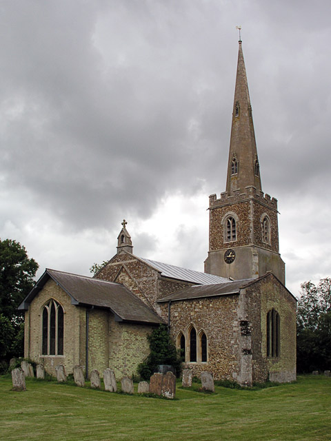
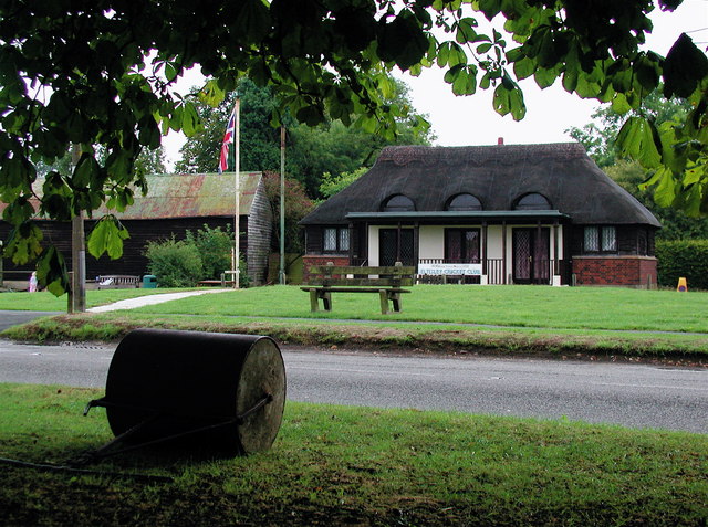
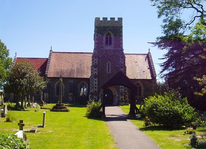
The heart of Eltisley is its village green, a focal point for community events and gatherings. The green is surrounded by a mix of traditional thatched cottages, Georgian houses, and modern residential developments. The village also features a historic church, St. Pandionia and St. John the Baptist, which dates back to the 12th century and is known for its beautiful stained glass windows.
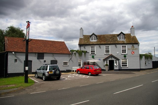
Eltisley offers a range of amenities for its residents, including a primary school, a village hall, a pub, and a post office. The village is well-connected to neighboring areas, with regular bus services running to Cambridge and other nearby towns.
In addition to its natural beauty and historical significance, Eltisley is known for its vibrant community spirit. The village hosts various events throughout the year, such as a summer fete and a fireworks display, bringing residents together and fostering a sense of belonging.
If you have any feedback on the listing, please let us know in the comments section below.
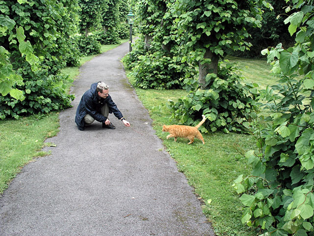
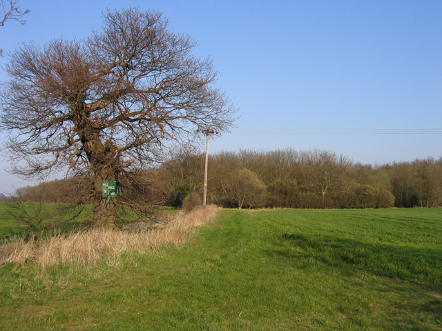
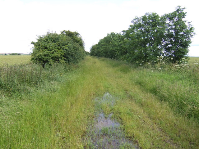
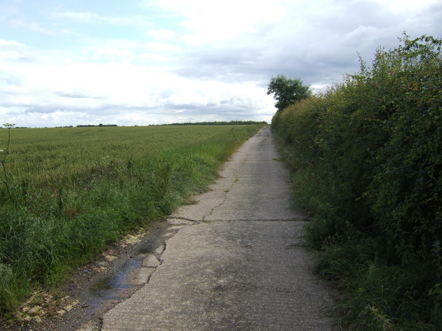
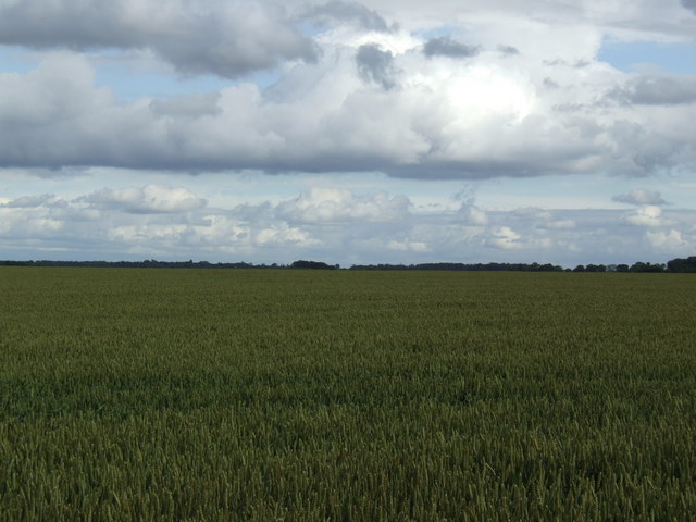
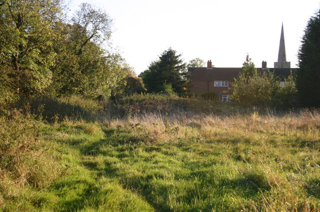
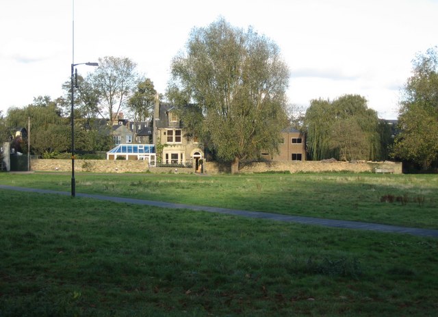
Eltisley Images
Images are sourced within 2km of 52.222584/-0.129299 or Grid Reference TL2759. Thanks to Geograph Open Source API. All images are credited.


Eltisley is located at Grid Ref: TL2759 (Lat: 52.222584, Lng: -0.129299)
Administrative County: Cambridgeshire
District: South Cambridgeshire
Police Authority: Cambridgeshire
What 3 Words
///backup.paddock.fond. Near Papworth Everard, Cambridgeshire
Related Wikis

Eltisley
Eltisley is a village and civil parish in South Cambridgeshire, England, on the A428 road about 5.5 miles (8.9 km) east of St Neots and about 11 miles...
Midsummer House
Midsummer House is a restaurant located in Cambridge, Cambridgeshire, England, on the bank of the river Cam. It is a Victorian style house that was transformed...

Caxton Gibbet
Caxton Gibbet is a small knoll on Ermine Street (now the A1198) in England, running between London and Huntingdon, near its crossing with the road (now...

Caxton, Cambridgeshire
Caxton is a small rural village and civil parish in the South Cambridgeshire district of Cambridgeshire, England. It is 9 miles west of the county town...

Cambourne Village College
Cambourne Village College is a mixed secondary school located in Cambourne, Cambridgeshire, England. It is a free school that opened in 2013, and is part...
Papworth Wood
Papworth Wood is an 8.7-hectare (21-acre) biological Site of Special Scientific Interest in Papworth Everard in Cambridgeshire.This is one of the oldest...

Croxton, Cambridgeshire
Croxton is a village and civil parish about 13 miles (21 km) west of Cambridge in South Cambridgeshire, England. In 2001, the resident population was 163...
Papworth Everard
Papworth Everard is a village in Cambridgeshire, England. It lies ten miles west of Cambridge and six miles south of Huntingdon. Running through its centre...
Nearby Amenities
Located within 500m of 52.222584,-0.129299Have you been to Eltisley?
Leave your review of Eltisley below (or comments, questions and feedback).