Eltisley

Settlement in Cambridgeshire South Cambridgeshire

England

Eltisley

Eltisley church
Eltisley church Credit: mym

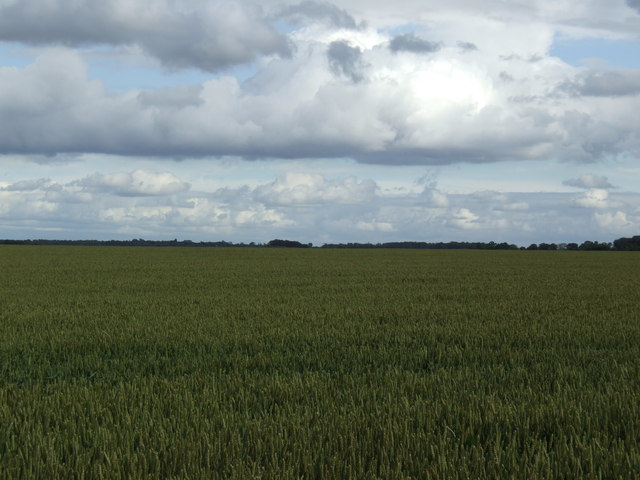
Eltisley is a small village located in the county of Cambridgeshire, England. Situated approximately 10 miles west of the city of Cambridge, Eltisley is surrounded by picturesque countryside and offers a peaceful and idyllic setting for its residents.

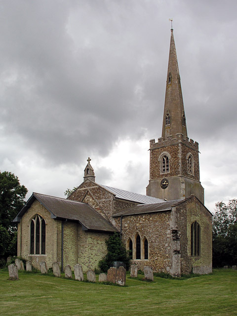
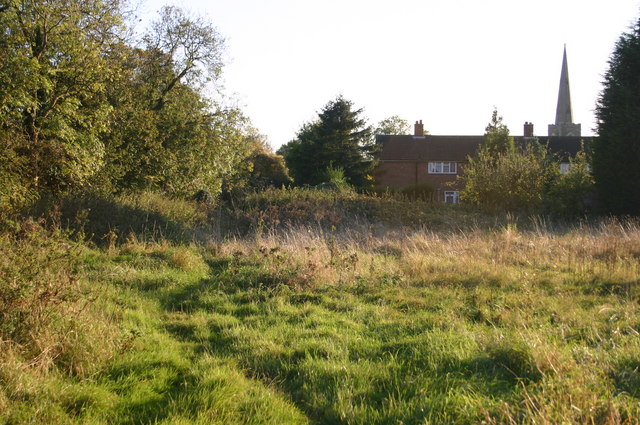
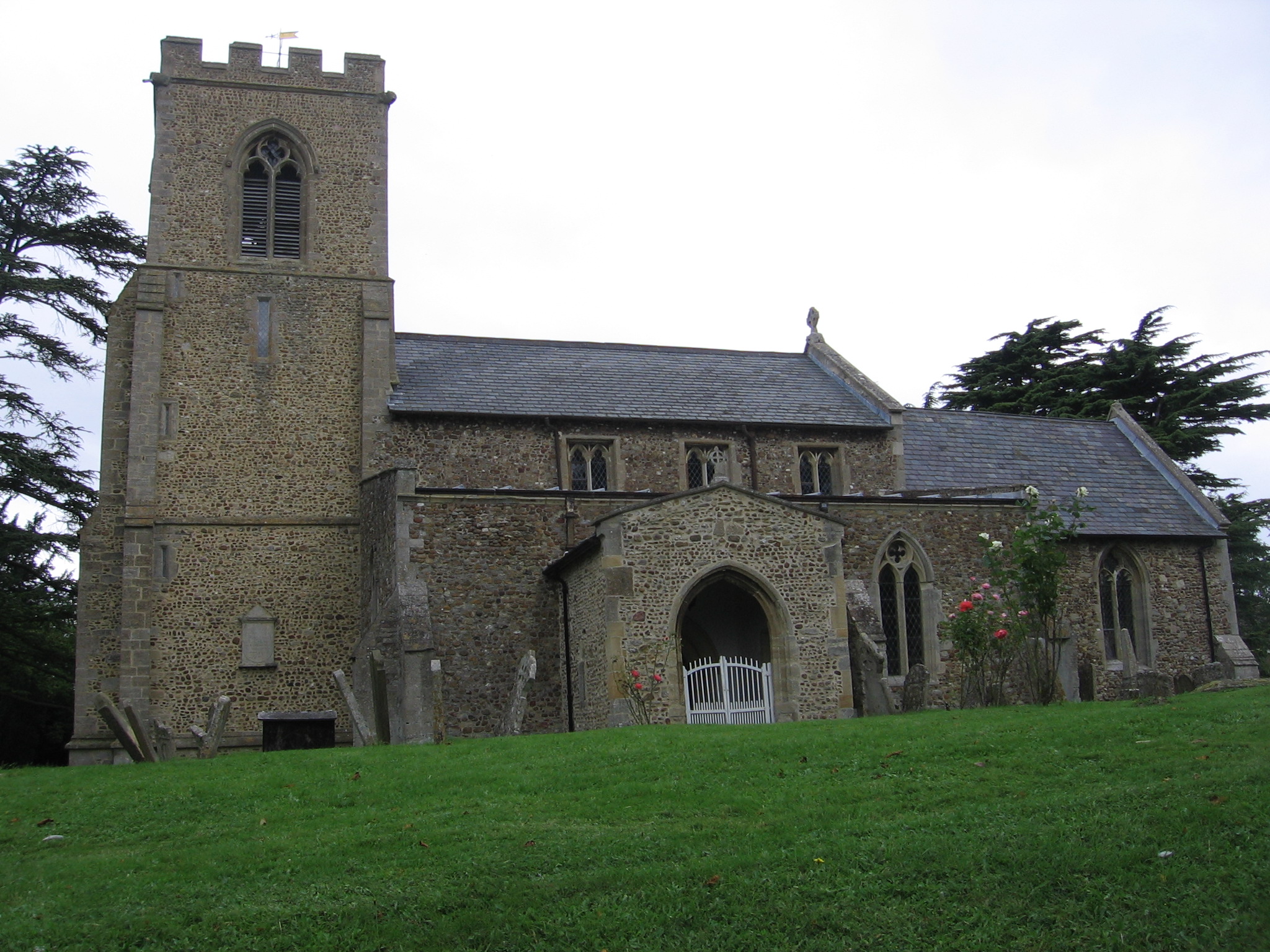
With a population of around 500 people, Eltisley maintains a close-knit community atmosphere. The village is characterized by a mix of traditional and modern architecture, with charming thatched cottages blending seamlessly with more contemporary homes. The local St. Pandionia's Church, dating back to the 13th century, stands as a prominent landmark in the village.

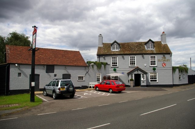
Eltisley benefits from various amenities, including a well-regarded primary school, a village hall, and a local pub, The Eltisley. The pub serves as a social hub for residents and visitors alike, offering a warm and welcoming atmosphere. The village also boasts a recreational ground, providing space for outdoor activities and sports.

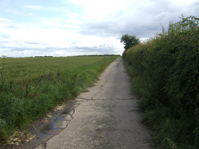
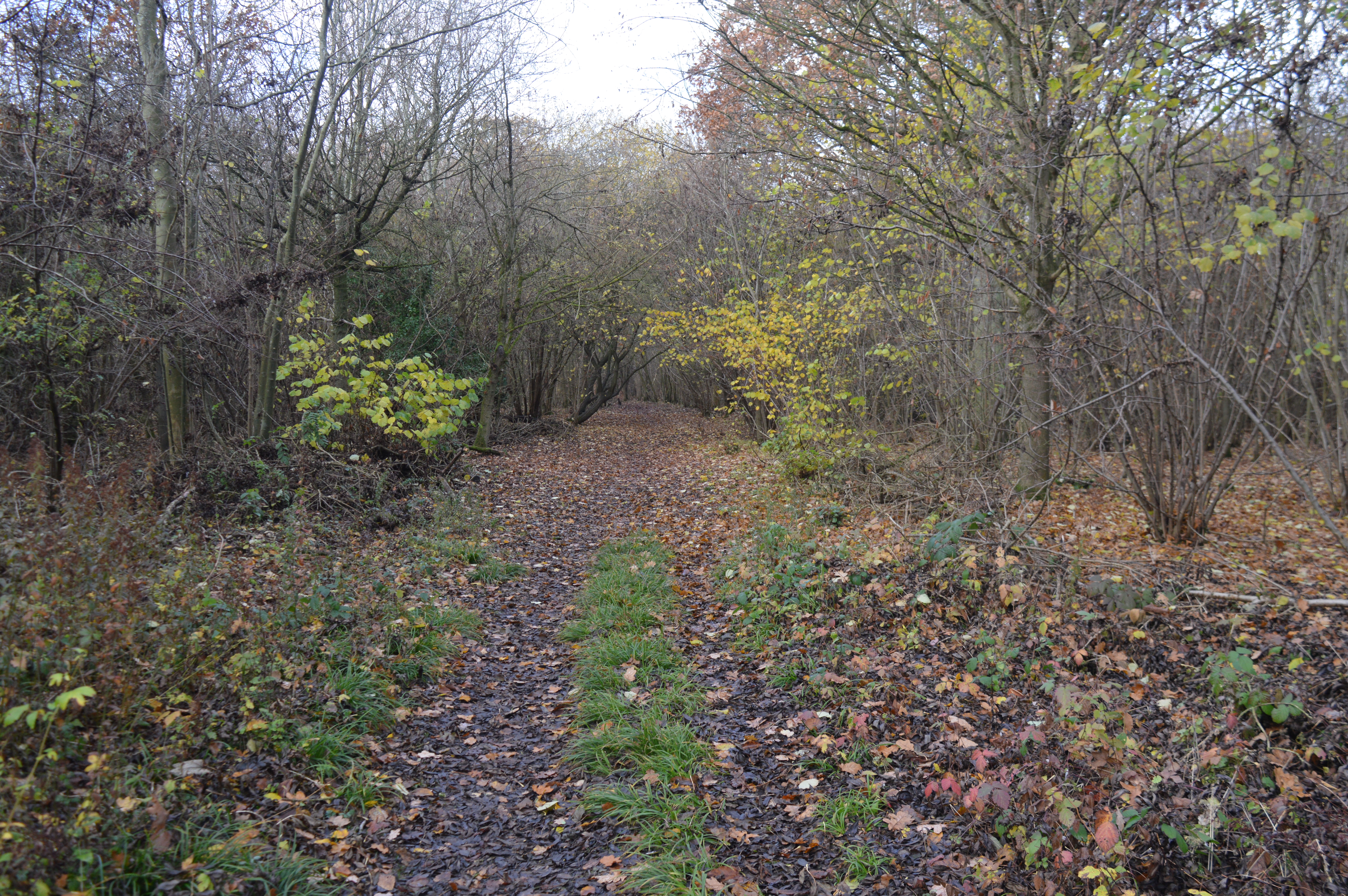
The surrounding countryside offers ample opportunities for outdoor pursuits, with several walking and cycling routes crisscrossing the area. Eltisley is also conveniently located near the A428 road, providing easy access to nearby towns and cities.

Overall, Eltisley offers a peaceful and charming rural lifestyle, with its strong community spirit and beautiful surroundings. It is an ideal place for those seeking a tranquil and close-knit village experience, while still being within reach of the amenities and opportunities offered by larger nearby towns.

If you have any feedback on the listing, please let us know in the comments section below.
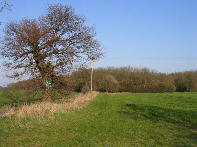
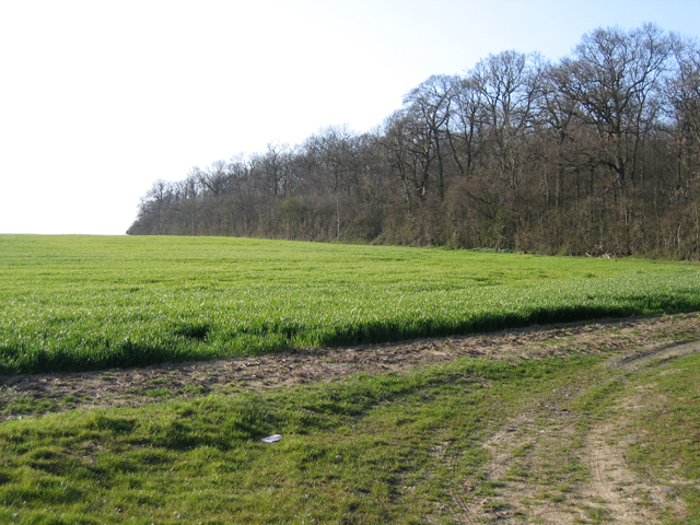
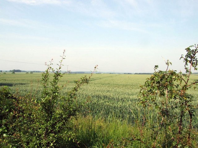
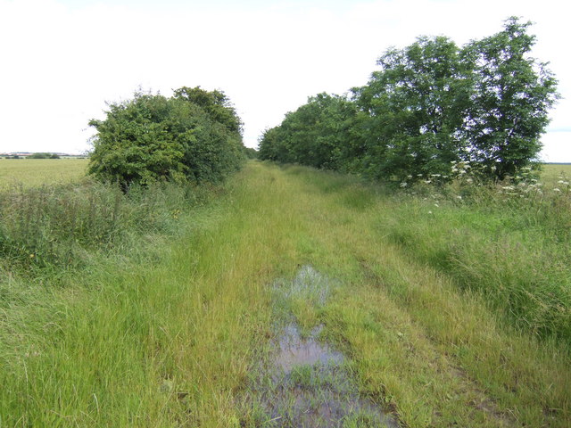
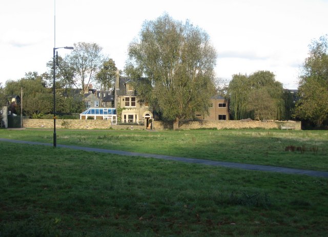
Eltisley Images

Images are sourced within 2km of 52.219628/-0.140257 or Grid Reference TL2759. Thanks to Geograph Open Source API. All images are credited.

Eltisley church
Eltisley church
Eltisley churchyard ... the Ginger Guardian
Eltisley churchyard
... the Ginger Guardian
Croxton cross <span class="nowrap"><a title="http://www.druidic.org/camchurch/churches/croxton.htm" rel="nofollow ugc noopener" href="http://www.druidic.org/camchurch/churches/croxton.htm">Link</a><img style="margin-left:2px;" alt="External link" title="External link - shift click to open in new window" src="https://s1.geograph.org.uk/img/external.png" width="10" height="10"/></span>
Croxton cross
Eltisley Cricket Club The thatched pavilion of Eltisley Cricket Club, seen from under a huge chestnut tree by the cricket pitch on the village green.
Eltisley Cricket Club
The thatched pavilion of Eltisley Cricket Club, seen from under a huge chestnut tree by the cricket pitch on the village green.
Hunts-Cambs county boundary, Gt Gransden The hedge and ditch mark the old county boundary south of Eltisley Wood.
Hunts-Cambs county boundary, Gt Gransden
The hedge and ditch mark the old county boundary south of Eltisley Wood.
Public footpath to Eltisley Wood, Eltisley, Cambs No dogs or cars.
Public footpath to Eltisley Wood, Eltisley, Cambs
No dogs or cars.
South Lodge Plantation, Croxton, Cambs The plantation lines the approach to Croxton Park from the South Lodge entrance on the B1040.
South Lodge Plantation, Croxton, Cambs
The plantation lines the approach to Croxton Park from the South Lodge entrance on the B1040.
Field opposite Leycourt Farm.
A very wet Caxton Drift The ancient direct route between Eltisley and Caxton.
A very wet Caxton Drift
The ancient direct route between Eltisley and Caxton.
Concrete farm track to Eltisley Oak Ripening wheat on the left hand side.
Concrete farm track to Eltisley Oak
Ripening wheat on the left hand side.
Flat wheat fields between Eltisley and Caxton
Heading towards Eltisley Church Footpath heading towards Eltisley Church
Heading towards Eltisley Church
Footpath heading towards Eltisley Church
The Eltisley dining pub The eponymous village's only pub (formerly the Leeds Arms - see Ben Brooksbank's 1956 view <a href="https://www.geograph.org.uk/photo/4593044">TL2759 : Eltisley, 1956</a>) - reopened in November 2007 after extensive renovations.
The Eltisley dining pub
The eponymous village's only pub (formerly the Leeds Arms - see Ben Brooksbank's 1956 view TL2759 : Eltisley, 1956) - reopened in November 2007 after extensive renovations.
St Pandionia & St John the Baptist, Eltisley
St Pandionia & St John the Baptist, Eltisley - Font
St Pandionia & St John the Baptist, Eltisley - Rood stairs
St Pandionia & St John the Baptist, Eltisley - Tomb recess
Show me another place!

Eltisley is located at Grid Ref: TL2759 (Lat: 52.219628, Lng: -0.140257)

Administrative County: Cambridgeshire

District: South Cambridgeshire

Police Authority: Cambridgeshire

What 3 Words

///obstinate.behave.educated. Near Papworth Everard, Cambridgeshire

Nearby Locations

Eltisley Eltisley

Related Wikis

Eltisley

Eltisley is a village and civil parish in South Cambridgeshire, England, on the A428 road about 5.5 miles (8.9 km) east of St Neots and about 11 miles...

Midsummer House

Midsummer House is a restaurant located in Cambridge, Cambridgeshire, England, on the bank of the river Cam. It is a Victorian style house that was transformed...

Caxton Gibbet

Caxton Gibbet is a small knoll on Ermine Street (now the A1198) in England, running between London and Huntingdon, near its crossing with the road (now...

Croxton, Cambridgeshire

Croxton is a village and civil parish about 13 miles (21 km) west of Cambridge in South Cambridgeshire, England. In 2001, the resident population was 163...

Caxton, Cambridgeshire

Caxton is a small rural village and civil parish in the South Cambridgeshire district of Cambridgeshire, England. It is 9 miles west of the county town...

Yelling, Cambridgeshire

Yelling is a linear village and civil parish in the Huntingdonshire administrative district of Cambridgeshire, England. The village is about 5 miles (8...

Papworth Wood

Papworth Wood is an 8.7-hectare (21-acre) biological Site of Special Scientific Interest in Papworth Everard in Cambridgeshire.This is one of the oldest...

Great Gransden

Great Gransden is a civil parish and village in the Huntingdonshire district of Cambridgeshire, England. In 2001, the parish population was 969, which...

Nearby Amenities

Located within 500m of 52.219628,-0.140257
Narrow: yes
Source: Bing
Traffic Calming: choker
Lat/Long: 52.2233162/-0.1372682
Eltisley
Created By: Potlatch 0.10b
Place: village
Wikidata: Q2680409
Lat/Long: 52.2208348/-0.1397101
Man Made: village_pump
Source: survey
Lat/Long: 52.2195573/-0.1387542
Recycling
Source: survey
Lat/Long: 52.2224267/-0.138335
Post Box
Post Box Design: type_m
Post Box Type: lamp
Postal Code: PE19
Ref: PE19 135
Royal Cypher: EIIR
Royal Cypher Wikidata: Q33102113
Source: survey
Lat/Long: 52.2212655/-0.1394762
Telephone
Booth: K6
Covered: booth
Listed Status: Grade II
Phone: +44 1480 880237
Lat/Long: 52.2212849/-0.1394693
Man Made: village_pump
Source: survey
Lat/Long: 52.2213882/-0.1393816
Bus Stop
Naptan AtcoCode: 0500SELTI001
Naptan NaptanCode: CMBDWDPD
Note: Has a bus bay.
Operator: Stagecoach
Source: survey
Lat/Long: 52.2214639/-0.1397182
Social Club
Eltisley Social Club
Source: survey
Lat/Long: 52.2205237/-0.139279
Leisure: pitch
Sport: cricket;football
Lat/Long: 52.2208/-0.140317
World War I Memorial
Historic: memorial
Note: Don't know if this has a less generic name.
Lat/Long: 52.2202756/-0.1397117
Bus Stop
St. John the Baptist's Church
Naptan AtcoCode: 0500SELTI002
Naptan Bearing: E
Naptan CommonName: St. John the Baptist's Church
Naptan Indicator: opp
Naptan Landmark: St John the Baptist's Church
Naptan NaptanCode: cmbdwdpg
Naptan ShortCommonName: Church
Naptan Street: St Neots Road
Naptan Verified: no
Source: naptan_import
Lat/Long: 52.221274/-0.1441447
Bus Stop
St. John the Baptist's Church
Naptan AtcoCode: 0500SELTI003
Naptan Bearing: W
Naptan CommonName: St. John the Baptist's Church
Naptan Indicator: near
Naptan Landmark: St John the Baptist's Church
Naptan NaptanCode: cmbdwdpj
Naptan ShortCommonName: Church
Naptan Street: St Neots Road
Naptan Verified: no
Source: naptan_import
Lat/Long: 52.2213797/-0.1457215
Bus Stop
The Green Cricket Ground
Bus: yes
Naptan AtcoCode: 0500SELTI004
Naptan Bearing: SW
Naptan CommonName: The Green Cricket Ground
Naptan Indicator: near
Naptan Landmark: The Green Cricket Ground
Naptan NaptanCode: cmbdwdpm
Naptan ShortCommonName: Cricket Ground
Naptan Street: The Green
Naptan Verified: no
Operator: Stagecoach
Public Transport: platform
Route Ref: 18
Schedule: limited
Shelter: yes
Source: naptan_import
Lat/Long: 52.2214152/-0.1394098
Power: pole
Source: bing
Lat/Long: 52.2235502/-0.1372596
Power: pole
Source: bing
Lat/Long: 52.222874/-0.1380361
Power: pole
Lat/Long: 52.2188755/-0.1458846
Historic: milestone
Inscription: Eltisley, St Ives 8, Potton 8
Wikidata: Q26457090
Lat/Long: 52.2240125/-0.13907
Shelter
Shelter Type: public_transport
Lat/Long: 52.2213077/-0.1395351
Man Made: village_sign
Lat/Long: 52.221444/-0.1393246
Information: board
Tourism: information
Lat/Long: 52.2203519/-0.1396898
Bench
Lat/Long: 52.220511/-0.139616
Bench
Lat/Long: 52.22078/-0.1394408
The data included in this document is from www.openstreetmap.org. The data is made available under ODbL.

Have you been to Eltisley?

Leave your review of Eltisley below (or comments, questions and feedback).