Elstow
Civil Parish in Bedfordshire
England
Elstow

Elstow is a small civil parish located in the county of Bedfordshire, England. Situated approximately 2 miles south of Bedford, the parish covers an area of about 2.5 square miles. It is home to a population of around 1,500 residents.
Elstow has a rich historical background, with records dating back to the Domesday Book of 1086. The village is best known for its connection to John Bunyan, the famous author of "The Pilgrim's Progress." Bunyan was born in Elstow in 1628, and his childhood home, known as Bunyan's Cottage, still stands as a museum dedicated to his life and works.
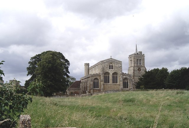
The village itself features a mix of architectural styles, ranging from traditional thatched cottages to more modern developments. The centerpiece of Elstow is its picturesque village green, a serene open space surrounded by charming houses and a 13th-century church, St. Mary's. This historical church is a Grade I listed building and is known for its beautiful stained glass windows.
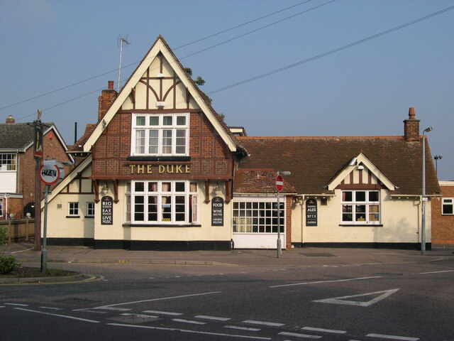
Elstow also boasts a variety of amenities, including a primary school, a village hall, and a local pub. The village is well-connected to neighboring towns and cities through a network of roads and public transportation.
Overall, Elstow offers a peaceful and historical setting for its residents, with its ties to John Bunyan and its well-preserved heritage. It is a place where the old and new seamlessly blend, creating a unique and captivating atmosphere.
If you have any feedback on the listing, please let us know in the comments section below.
Elstow Images
Images are sourced within 2km of 52.115503/-0.467728 or Grid Reference TL0547. Thanks to Geograph Open Source API. All images are credited.


Elstow is located at Grid Ref: TL0547 (Lat: 52.115503, Lng: -0.467728)
Unitary Authority: Bedford
Police Authority: Bedfordshire
What 3 Words
///along.ends.fish. Near Elstow, Bedfordshire
Nearby Locations
Related Wikis
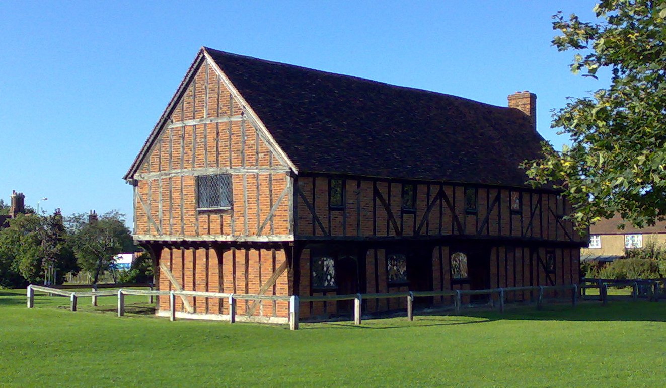
Moot Hall, Elstow
The Moot Hall, also known as the Green House, is a medieval structure on The Green in Elstow, Bedfordshire, England. The structure, which currently operates...
Elstow Abbey
Elstow Abbey was a monastery for Benedictine nuns in Elstow, Bedfordshire, England. It was founded c.1075 by Judith, Countess of Huntingdon, a niece of...
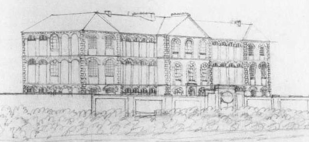
Bedford Lunatic Asylum
The Bedford Lunatic Asylum was a mental health facility. It opened in 1812 and closed in 1860. == History == Samuel Whitbread headed the committee which...
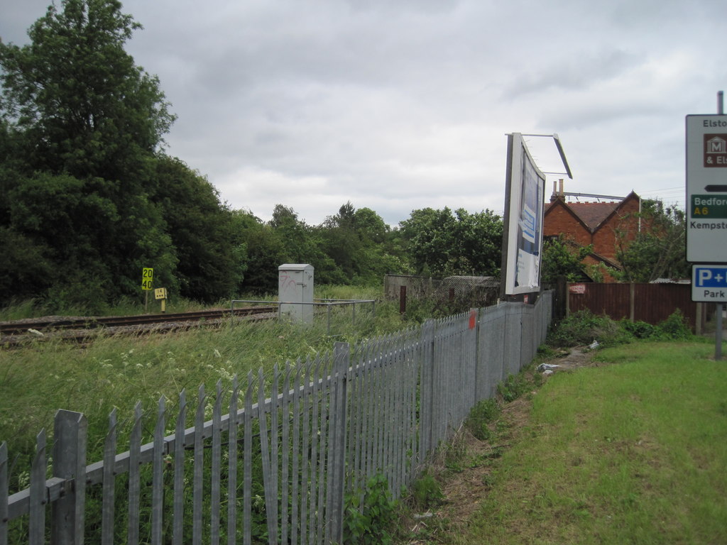
Kempston and Elstow Halt railway station
Kempston & Elstow Halt was a railway station on the Varsity Line which served the Bedfordshire town of Kempston in England. Opened in 1905, it was closed...
Cauldwell, Bedford
Cauldwell is an electoral ward and area within the town of Bedford, England. The boundaries of Cauldwell are approximately Rope Walk to the north, Redwood...
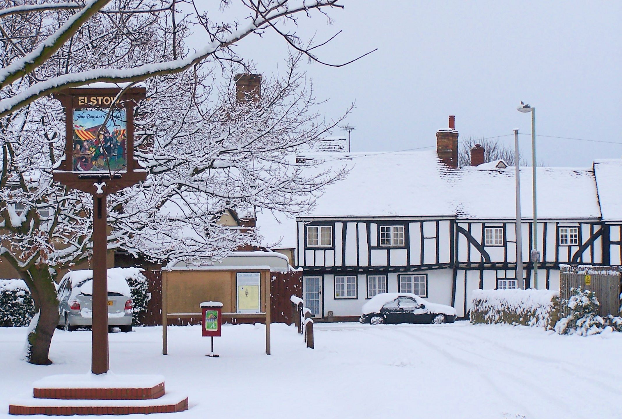
Elstow
Elstow is a village and civil parish in the Borough of Bedford, Bedfordshire, England, about 2 miles (3.2 km) south of Bedford town centre. == History... ==
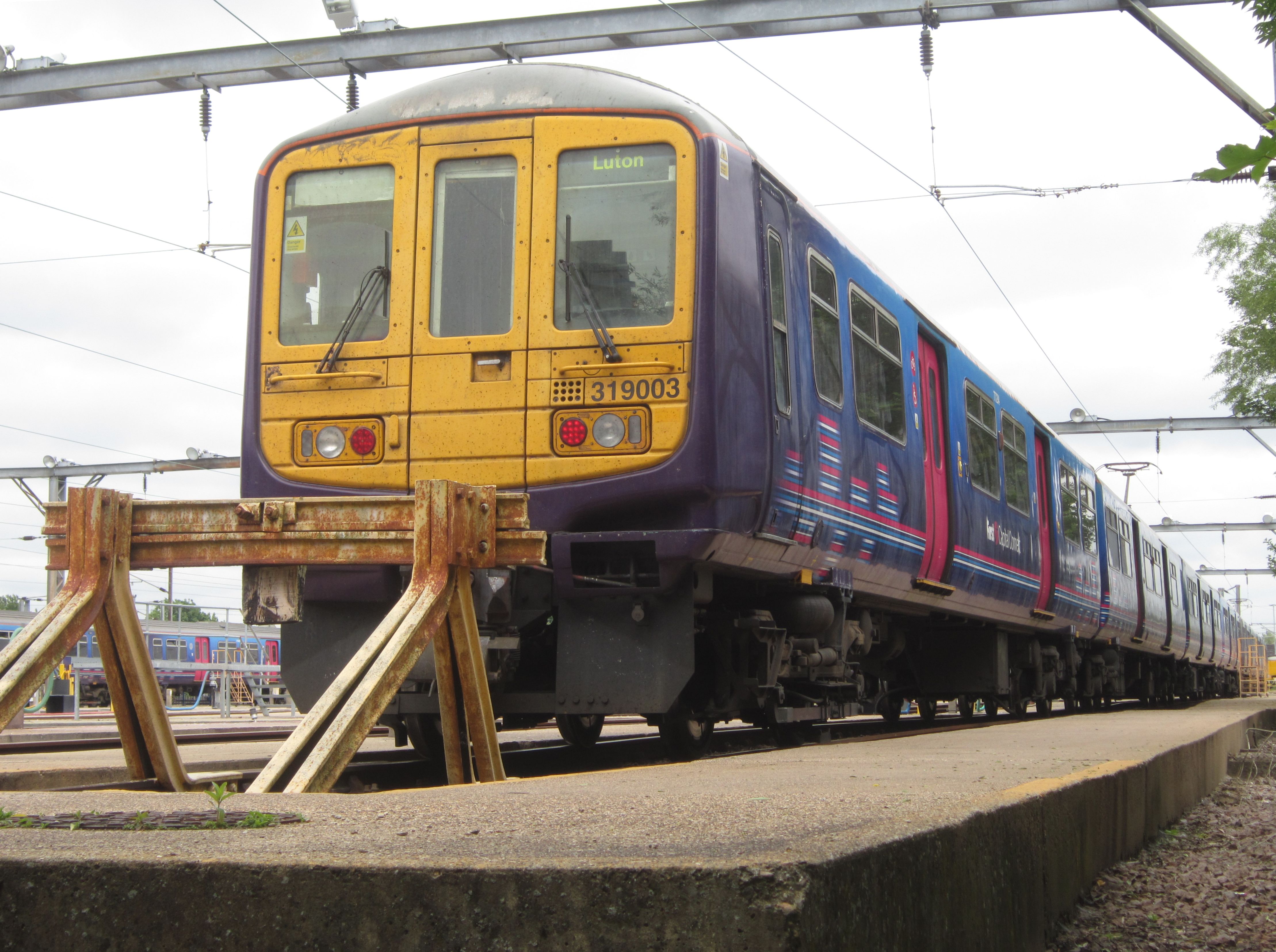
Bedford Carriage Sidings
Bedford Carriage Sidings are located in Bedford, Bedfordshire, England on the Midland Main Line, near Bedford station. == History == The former steam...

Daubeney Academy
Daubeney Academy (formerly Daubeney Middle School) is an 11–16 coeducational secondary school located in Kempston, Bedfordshire, England. It was established...
Nearby Amenities
Located within 500m of 52.115503,-0.467728Have you been to Elstow?
Leave your review of Elstow below (or comments, questions and feedback).